The best cycling routes in Burns Bog Ecological Conservancy Area
4.5
(143)
1,245
riders
68
rides
Touring cycling in Burns Bog Ecological Conservancy Area offers routes around a globally unique raised peat bog, the largest undeveloped urban landmass on the West Coast of the Americas. The area features a distinctive ecosystem with Sphagnum moss, pine woodland, and mixed deciduous and coniferous forests. While the core bog is preserved, the surrounding Delta Nature Reserve and peripheral routes provide diverse landscapes, including open hardhack meadows and dyke paths. These routes often combine paved and gravel surfaces, catering to…
Last updated: July 9, 2026
4.0
(1)
4
riders
Moderate bike ride. Good fitness required. Mostly paved surfaces. Suitable for all skill levels.
3
riders
Easy bike ride. Great for any fitness level. Mostly paved surfaces. Suitable for all skill levels.

Sign up for free
4.3
(15)
30
riders
Moderate bike ride. Good fitness required. Mostly paved surfaces. Suitable for all skill levels.
8
riders
Moderate bike ride. Good fitness required. Mostly paved surfaces. Suitable for all skill levels.
4.3
(7)
69
riders
Moderate bike ride. Good fitness required. Mostly paved surfaces. Suitable for all skill levels.
Get access to more routes and recommendations from other explorers.
Sign up for free
Already have an account?
Our route recommendations are based on thousands of hikes, rides, and runs completed by other people on komoot.
Start today with a free account
Your next adventure awaits.
Login or Signup
Popular around Burns Bog Ecological Conservancy Area

Tips from the Community

Green Timbers Lake is a small freshwater lake at the centre of the park, surrounded by forest, walking paths, and fishing platforms that make it one of the area’s main gathering spots. Stocked with rainbow trout and bordered by wetlands, the lake attracts ducks, turtles, and other wildlife, while calm water and tree reflections give it a lovely, peaceful atmosphere.
0
0

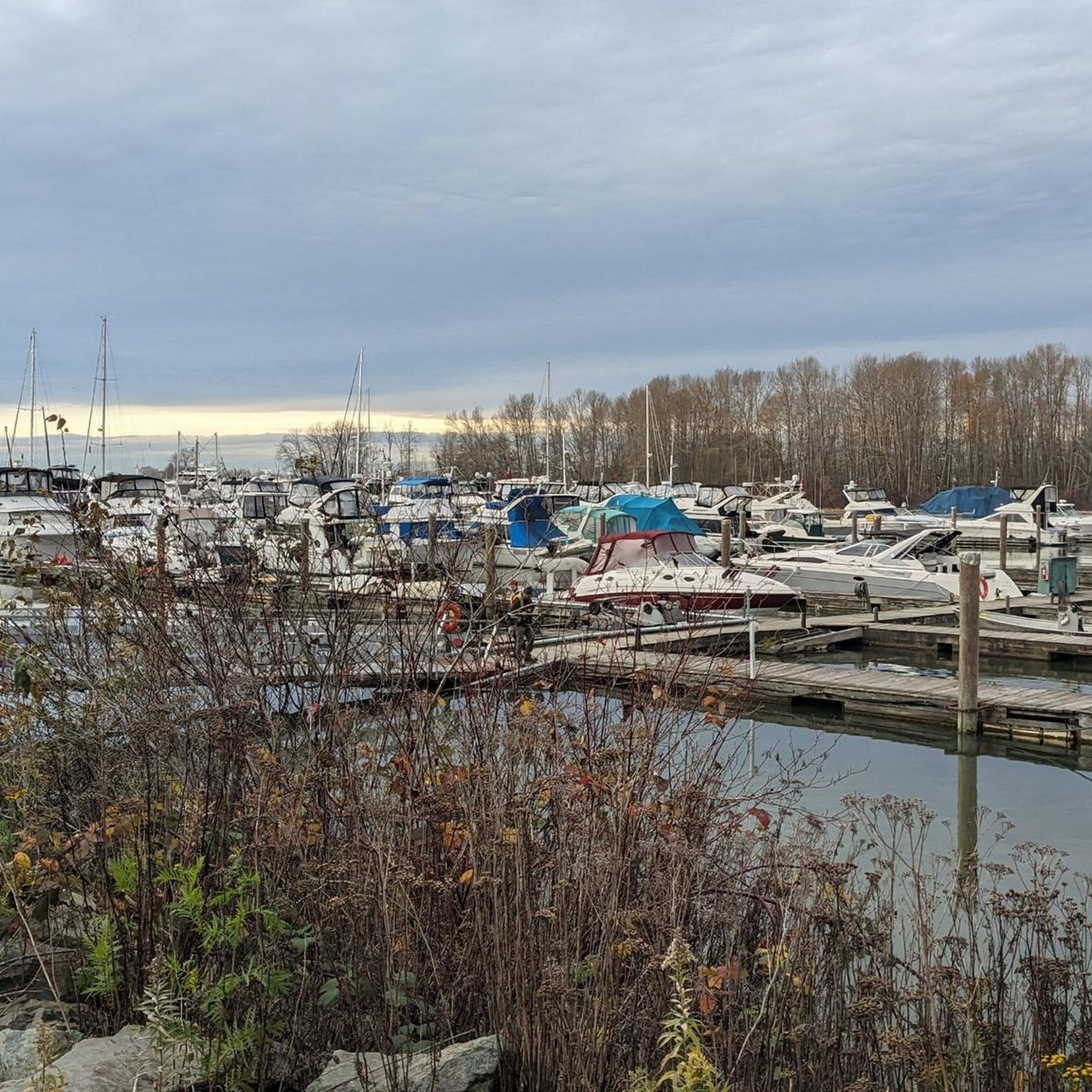
The tin soldier was revealed in 2000 and moved to the pier in 2001, and a time capsule was placed inside it upon its construction. The soldier was modeled after a Royal Engineer, and while it was apparently intended to represent kindness and inclusion, many have instead seen it as a monument to colonisation. In 2025, Brandon Gabriel used light projection to turn the soldier into an indigenous Salish Welcome Figure.
0
0
There are some shaded benches here along the Willow Trail with a tranquil view across the water. You can enjoy a nice picnic by the lake.
0
0

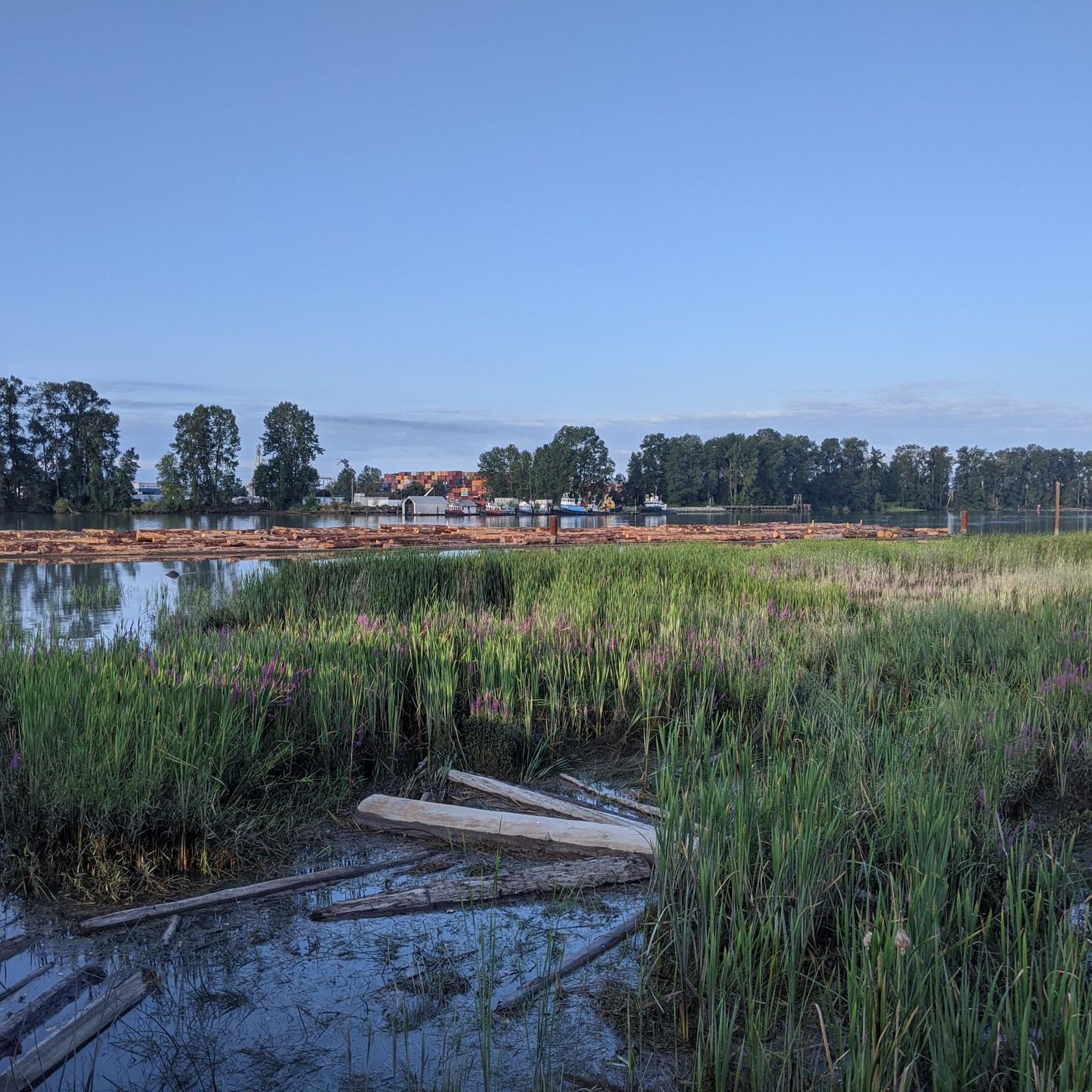
This 5.5-kilometer multi-use trail follows along the middle arm of the Fraser River and passes through or by a number of parks, sculpture gardens, and viewpoints. It also connects with the West Dyke Trail at its western end if you're looking to do a longer excursion.
0
0
Beach Grove Park is a lovely mix of open lawns with pockets of mature trees, with flat, well-kept paths that wind through the park, connecting playgrounds, sports courts, picnic areas, and off-leash spaces. Its laid-back, neighbourhood feel makes it a convenient spot for a quick stroll or casual time outdoors.
0
0
You can find a mix of flat gravel trails connecting a boardwalk and wildlife viewing area, community garden, playground and restrooms. The small spiral trail up a low hill on the west side of the park is a great spot from which to watch the sunset.
1
0
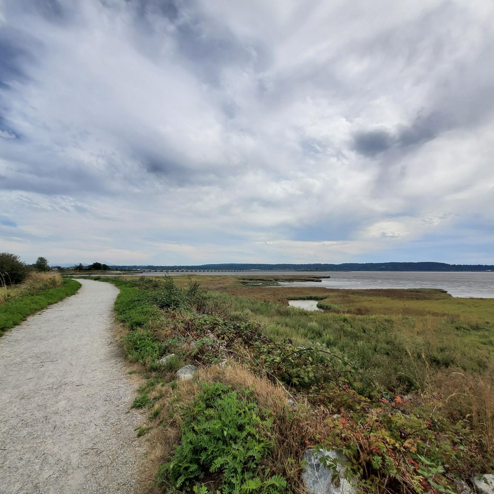
This park has well-maintained easy walking trails, clean restrooms, and panoramic views of the Fraser River and open ocean to the east. In the spring you can come here to see the orchard of cherry blossom trees lining the path.
0
0

The Tynehead Perimeter Trail is a paved, interpretive, multi-use trail. The 4 km loop is located in the Tynehead Regional Park. Along the way, you will notice interpretive exhibits and informational signs about the park's ecosystem.
0
0
Frequently Asked Questions
How many touring cycling routes are available in Burns Bog Ecological Conservancy Area?
There are over 75 touring cycling routes available in and around the Burns Bog Ecological Conservancy Area on komoot, offering a wide range of options for different preferences and skill levels.
What is the overall difficulty level of touring cycling routes in Burns Bog?
The majority of touring cycling routes in Burns Bog are rated as moderate, with 51 routes falling into this category. There are also 15 easy routes suitable for beginners and 9 more challenging routes for experienced cyclists.
What do other touring cyclists say about the routes in Burns Bog Ecological Conservancy Area?
The routes in Burns Bog Ecological Conservancy Area are highly rated by the komoot community, with an average score of 4.5 stars from over 160 reviews. Cyclists often praise the unique natural environment and the mix of terrain.
What kind of terrain can I expect on touring cycling routes around Burns Bog?
You can expect a diverse range of terrain. Many routes feature a mix of paved and unpaved surfaces, including gravel access roads and dyke paths. The area's unique peat bog ecosystem and surrounding forests provide varied landscapes.
Are there any circular touring cycling routes in the Burns Bog area?
Yes, many of the touring cycling routes in the Burns Bog area are loops. For example, the Port Mann Bridge – Delta Nature Reserve loop from 84 Ave Ravine Environmental Reserve is a popular moderate route that connects to the vicinity of the Delta Nature Reserve.
Are there easy touring cycling routes suitable for beginners or families?
Yes, there are 15 easy touring cycling routes available. An example of a shorter, easier route is the Serpentine Greenway – Duck Pond loop from Cougar Canyon Environmental Reserve, which is 12.6 km long and features minimal elevation gain.
What are some notable natural features or wildlife I might encounter while cycling?
Burns Bog is a globally unique raised peat bog, characterized by Sphagnum moss, pine woodland, and mixed forests. You might spot rare plants like cloudberries and carnivorous sundew plants. The area is also a significant habitat for wildlife, including over 175 bird species (such as Sandhill cranes), and mammals like deer and beavers.
Are there any current closures or important notices for cyclists in the area?
The Delta Nature Reserve, a smaller accessible portion of Burns Bog, is currently undergoing a boardwalk replacement project. This may result in temporary closures for hazard tree work and construction. While the core conservancy area is generally not publicly accessible, it's advisable to check local advisories for the Delta Nature Reserve if your route passes nearby.
Where can I park when cycling in Burns Bog Ecological Conservancy Area?
Parking availability varies depending on your chosen starting point. Many routes begin from areas with public parking, such as environmental reserves or community parks in Delta or Surrey. It's recommended to check the specific route details on komoot for suggested parking locations near the trailhead.
Is public transport available to access touring cycling routes near Burns Bog?
Yes, some touring cycling routes in the Burns Bog periphery are accessible via public transport connections. For instance, the Dyke Gravel Path – Bridgeport Station loop from George Massey Tunnel starts near the George Massey Tunnel, which has public transport links, and connects to Bridgeport Station.
What is the best time of year to go touring cycling in Burns Bog?
The spring and fall seasons generally offer pleasant conditions for touring cycling, with milder temperatures and less precipitation. Summer can also be enjoyable, but be prepared for warmer weather. The unique ecosystem means some areas can be wet, so checking trail conditions is always a good idea.
Are there any routes that explore the periphery of the bog with mixed surfaces?
Yes, routes like the Massey Tunnel Bike Underpass – Highway 99 Underpass, Delta loop from George Massey Tunnel explore the periphery of the bog and often feature a mix of paved and unpaved surfaces, providing a varied cycling experience.
What should I wear for cycling in Burns Bog, especially in spring?
In spring, the weather can be variable. It's best to wear layers that can be adjusted to changing temperatures. Given the bog's wet nature, waterproof or water-resistant outer layers are advisable, along with appropriate cycling shoes that can handle potentially damp conditions.
Most popular routes in Burns Bog Ecological Conservancy Area

Get inspired with the komoot mobile app


Explore more
Browse the best Cycling routes in other regions.
