Gorobel Mendilerroa Bbe/Zepa Sierra Sálvada
Gorobel Mendilerroa Bbe/Zepa Sierra Sálvada
The best running trails in Gorobel Mendilerroa Bbe/Zepa Sierra Sálvada
5.0
(4)
385
runners
56
runs
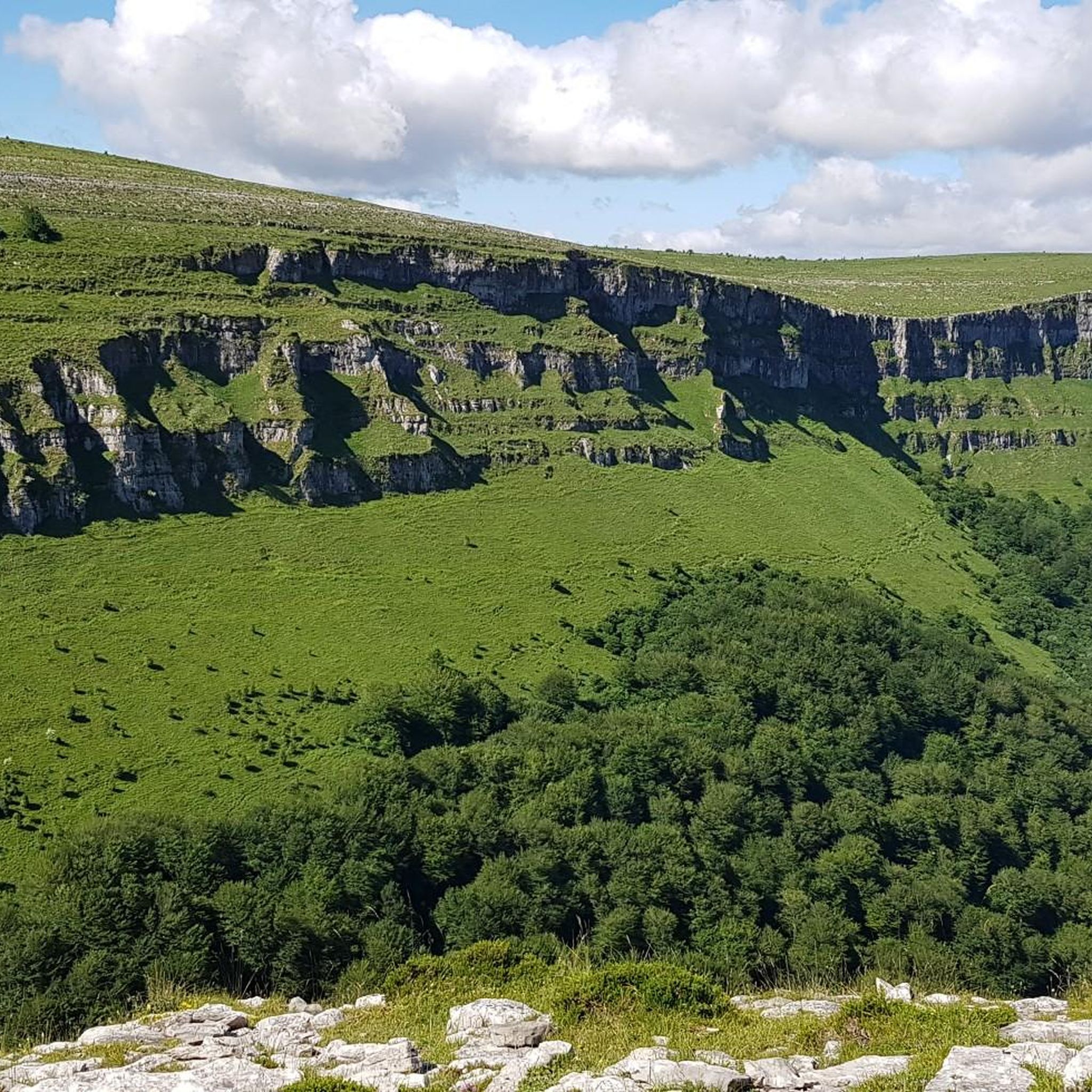
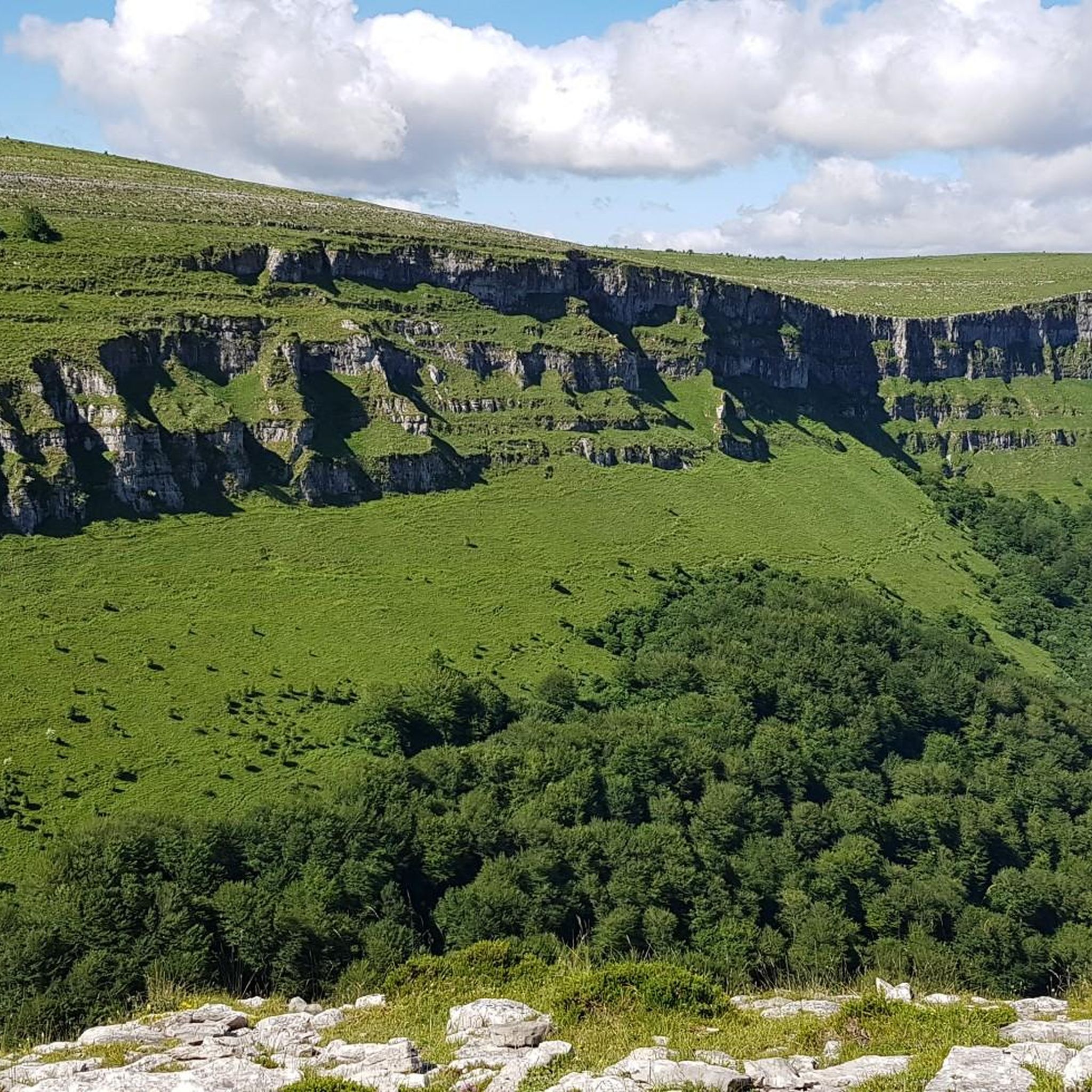
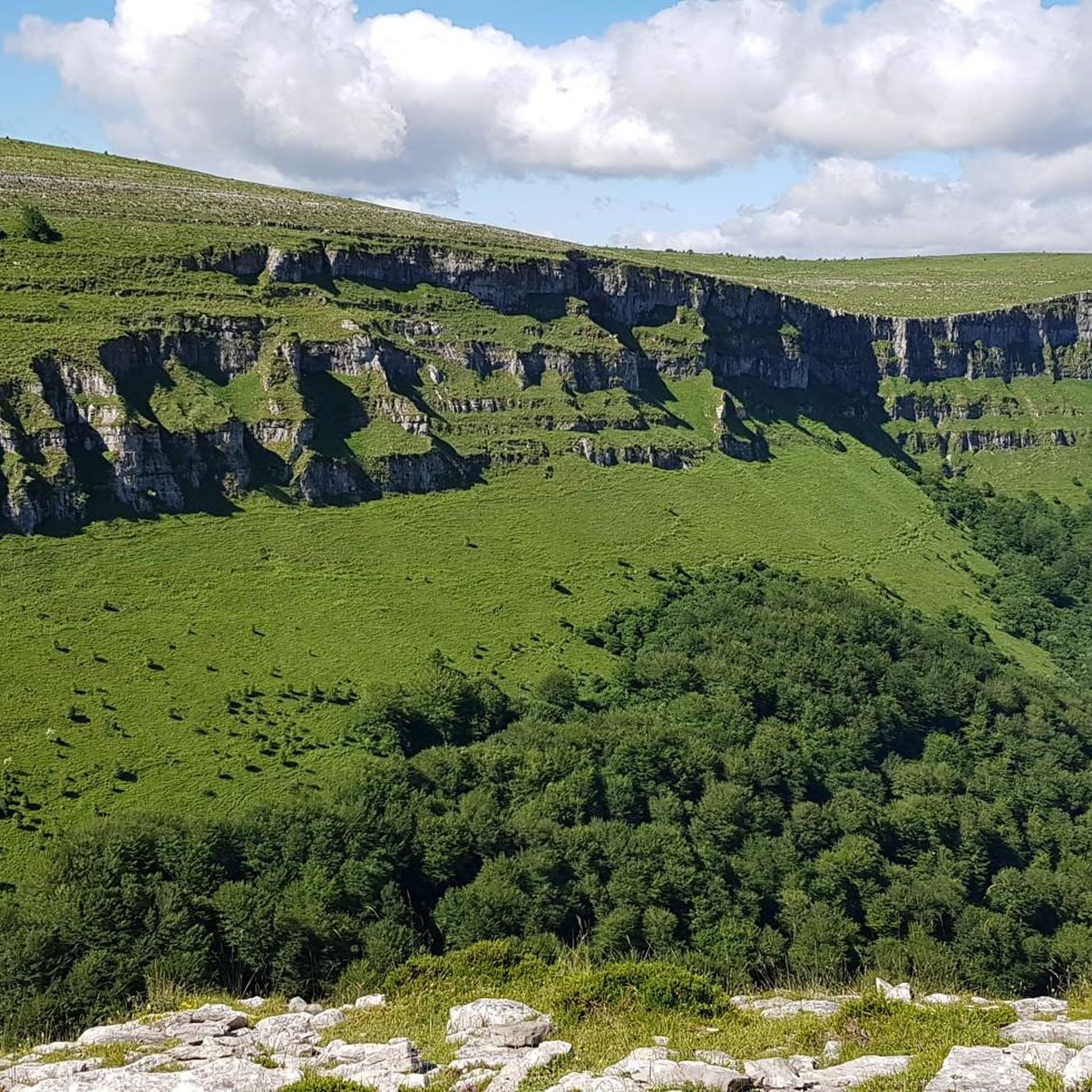
Jogging in Gorobel Mendilerroa Bbe/Zepa Sierra Sálvada offers diverse terrain for runners of various fitness levels. This mountain range is characterized by a dramatic 25 km long, 600-meter high steep limestone wall on its northern slope, while the southern face descends gently towards the Losa valley. The area features a vast plateau with pastures, heather, juniper bushes, and picturesque beech forests, providing varied backdrops for running. Notable natural features include the Salto del Nervión waterfall and several peaks, making it…
Last updated: September 5, 2026
8.25km
00:57
120m
120m
Moderate run. Good fitness required. Mostly accessible paths. Some sure footedness required.
15
runners
8.51km
01:33
580m
580m
Hard run. Very good fitness required. Sure-footedness, sturdy shoes and alpine experience required.

Sign up for free
11
runners
14.8km
02:22
720m
720m
Hard run. Very good fitness required. Sure-footedness, sturdy shoes and alpine experience required.
9
runners
13.8km
02:14
750m
750m
Hard run. Very good fitness required. Sure-footedness, sturdy shoes and alpine experience required.
28
runners
Moderate run. Good fitness required. Mostly paved surfaces. Suitable for all skill levels.
Get access to more routes and recommendations from other explorers.
Sign up for free
Already have an account?
Our route recommendations are based on thousands of hikes, rides, and runs completed by other people on komoot.
Start today with a free account
Your next adventure awaits.
Login or Signup
Popular around Gorobel Mendilerroa Bbe/Zepa Sierra Sálvada

Tips from the Community

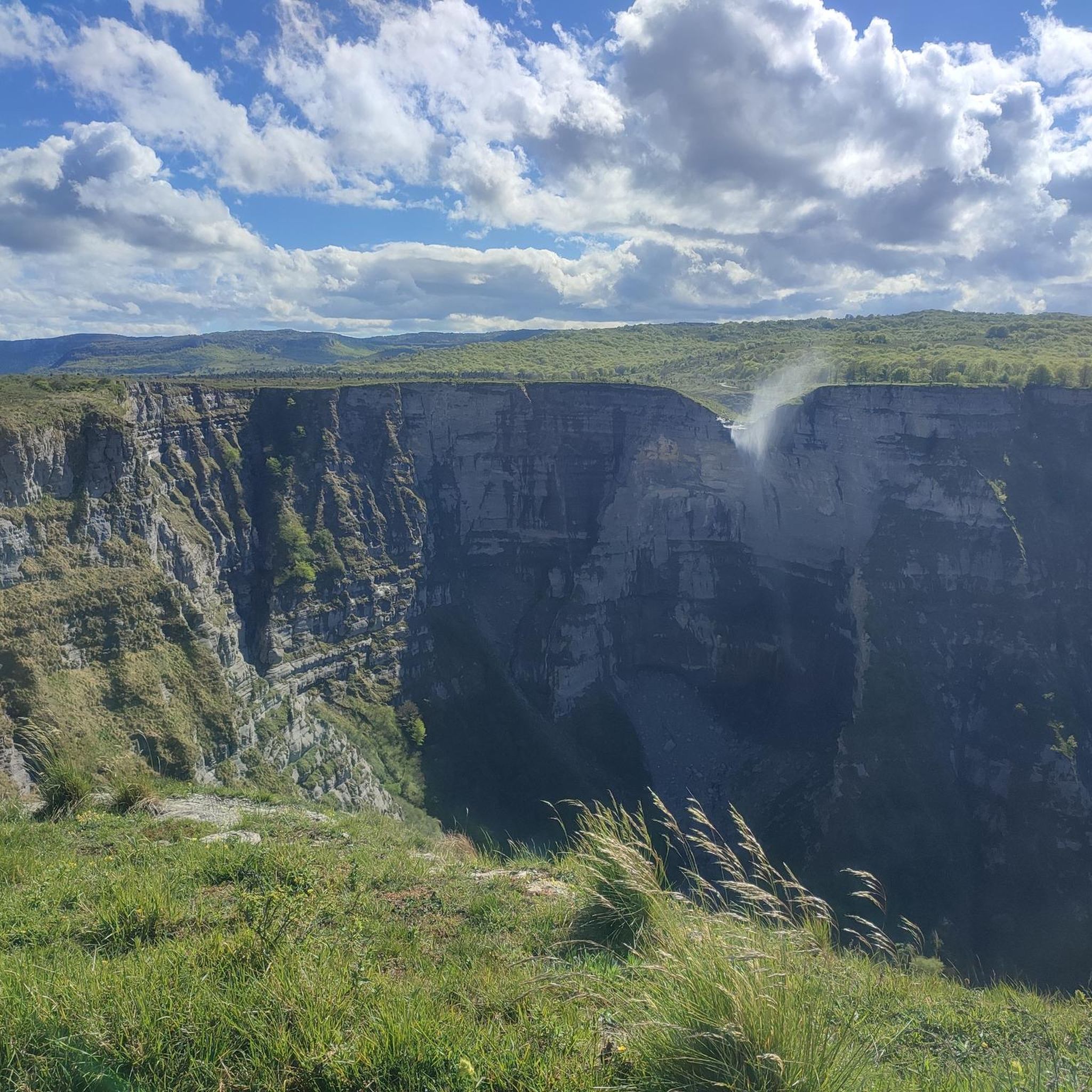
A fantastic waterfall, if the Rio Nervión is flowing. If not, the viewpoint is still spectacular.
2
0

Unfortunately, the Nervión has no water today, 2.5.25, so the spectacular waterfall was only a viewpoint in the canyon
4
0

Views of the valley where the Nervión River runs on its way to Bilbao, with Orduña in the background.
1
0


very beautiful view here
9
0
Pico del Fraile (864 m) is a mountain in the Cordillera. There is a path to the top. The nearest mountain refuge is Refugio del Tolope, located 1,037 m/3,402 ft NNW from the summit.
3
0

The Mirador is spectacular but not a drop of water from the waterfall when I went. Of course, I heard the water but I didn't see anything. The cuts are very worth it
2
0

Impressive viewpoint, especially if the waterfall carries water, something that doesn't happen much.
6
0
Frequently Asked Questions
How many running routes are available in Gorobel Mendilerroa Bbe/Zepa Sierra Sálvada?
There are over 40 dedicated running routes in Gorobel Mendilerroa Bbe/Zepa Sierra Sálvada, offering a wide range of options for different fitness levels and preferences.
Are there easy running trails for beginners in the Sierra Sálvada region?
Yes, Gorobel Mendilerroa offers several easy running paths suitable for beginners. There are 3 routes classified as easy, perfect for those new to trail running or looking for a more relaxed jog. These typically feature mostly paved paths and lower elevation gains.
What kind of terrain can I expect on the jogging routes in Gorobel Mendilerroa?
The region features diverse terrain, from vast plateaus with pastures, heather, and juniper bushes to picturesque beech forests. You'll also encounter the dramatic 25 km long, 600-meter high steep limestone wall on the northern slope of Sierra Sálvada, providing varied backdrops for your runs.
Are there any running routes that offer views of the Salto del Nervión waterfall?
While specific routes directly to the base of the waterfall might be more hiking-oriented, many trails in the region offer stunning views of the surrounding landscape, including areas near the Nervión Waterfall, the longest waterfall on the Iberian Peninsula. You can also find routes with views of the Nervión River.
What are some challenging running routes for experienced runners in Gorobel Mendilerroa?
For experienced runners, Gorobel Mendilerroa has 21 difficult routes. An example is the Iturrigorri / Tologorri – Ungino loop from Ias ibaia, which is nearly 20 km long with significant elevation gain, requiring very good fitness and sure-footedness. Another challenging option is the Txarlazo loop from Gorobel mendilerroa BBE.
Can I bring my dog on the running trails in Sierra Sálvada?
Many outdoor trails in natural areas like Sierra Sálvada are dog-friendly, but it's always recommended to check specific route details or local regulations for any restrictions, especially in protected areas. Generally, dogs should be kept on a leash to protect wildlife and ensure the safety of other users.
What natural attractions or landmarks can I see while running in the region?
The region is rich in natural beauty. Besides the impressive Nervión Waterfall, you can enjoy views of peaks like Pico del Fraile, Txarlazo, and Tologorri. The area is also a Special Protection Area for birds, offering opportunities for wildlife spotting.
What do other runners say about the running experience in Gorobel Mendilerroa Bbe/Zepa Sierra Sálvada?
The running routes in Gorobel Mendilerroa Bbe/Zepa Sierra Sálvada are highly rated by the komoot community, with an average score of 5.0 stars. Runners often praise the diverse terrain, stunning natural features, and breathtaking landscapes that make for a rewarding outdoor experience.
Are there any circular running routes available?
Yes, many of the running routes in Gorobel Mendilerroa are circular, allowing you to start and end at the same point. This is convenient for parking and exploring the varied scenery without retracing your steps.
What is the best season for running in Gorobel Mendilerroa Bbe/Zepa Sierra Sálvada?
The region offers enjoyable running conditions across multiple seasons. Spring and autumn provide pleasant temperatures and vibrant scenery. Summer can be great, especially in the mornings or evenings, while winter running is possible but may require appropriate gear for colder conditions or potential snow at higher elevations.
Are the running trails suitable for families with children?
While some routes are challenging, there are also easier, mostly paved paths that could be suitable for families looking for a gentle jog or walk. It's best to check the difficulty grade and distance of individual routes to ensure they match your family's fitness level.
Is there public transport access to the running routes in Zepa Sierra Sálvada?
While the region is primarily accessed by car, some trailheads might be reachable via local bus services, though options can be limited. It's advisable to research specific public transport routes and schedules to the nearest towns or access points before planning your trip.
Most popular routes in Gorobel Mendilerroa Bbe/Zepa Sierra Sálvada
Most popular attractions in Gorobel Mendilerroa Bbe/Zepa Sierra Sálvada

Get inspired with the komoot mobile app


Explore more
Browse the best Running Trails & Routes in other regions.
