Gorobel Mendilerroa Bbe/Zepa Sierra Sálvada
Gorobel Mendilerroa Bbe/Zepa Sierra Sálvada
The best walks and hikes in Gorobel Mendilerroa Bbe/Zepa Sierra Sálvada
4.6
(595)
4,834
hikers
196
hikes
Hiking in Gorobel Mendilerroa Bbe/Zepa Sierra Sálvada offers diverse terrain across parts of Burgos, Álava, and the Biscayan enclave of Orduña. This mountain range is characterized by distinctive limestone formations, dramatic cliffs, and varied erosion patterns. The region features 35 named mountains, including Eskutxi, and is known for its rich biodiversity, serving as a Special Protection Area for various bird species. High plains with heather and juniper scrub, alongside beech and pine groves, define much of the landscape.
Best hiking…
Last updated: July 7, 2026
4.3
(6)
46
hikers
14.5km
04:46
660m
670m
Hike the moderate 9.0-mile Eskutxi and Ungino circular trail in Sierra Salvada, featuring panoramic views and the Ojo de Ungino rock arch.
4.7
(43)
314
hikers
12.2km
03:26
250m
250m
Moderate hike. Good fitness required. Easily-accessible paths. Suitable for all skill levels.

Sign up for free
4.6
(7)
74
hikers
8.28km
03:28
580m
580m
Moderate hike. Good fitness required. Mostly accessible paths. Sure-footedness required.
4.5
(4)
52
hikers
17.6km
06:15
830m
830m
Hard hike. Very good fitness required. Mostly accessible paths. Sure-footedness required.
4.4
(5)
43
hikers
9.03km
02:35
210m
210m
Moderate hike. Good fitness required. Easily-accessible paths. Suitable for all skill levels.
Get access to more routes and recommendations from other explorers.
Sign up for free
Already have an account?
Our route recommendations are based on thousands of hikes, rides, and runs completed by other people on komoot.
Start today with a free account
Your next adventure awaits.
Login or Signup
Popular around Gorobel Mendilerroa Bbe/Zepa Sierra Sálvada

Tips from the Community

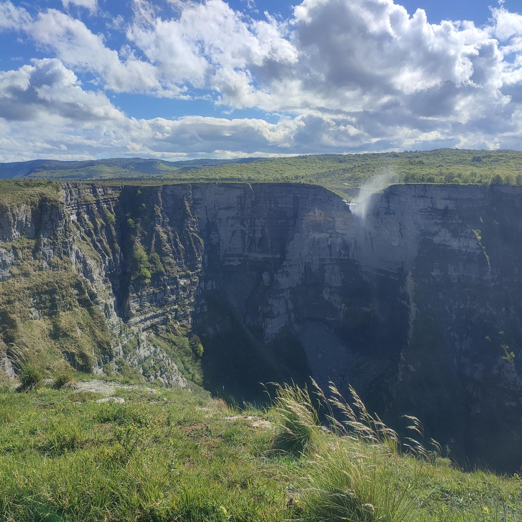
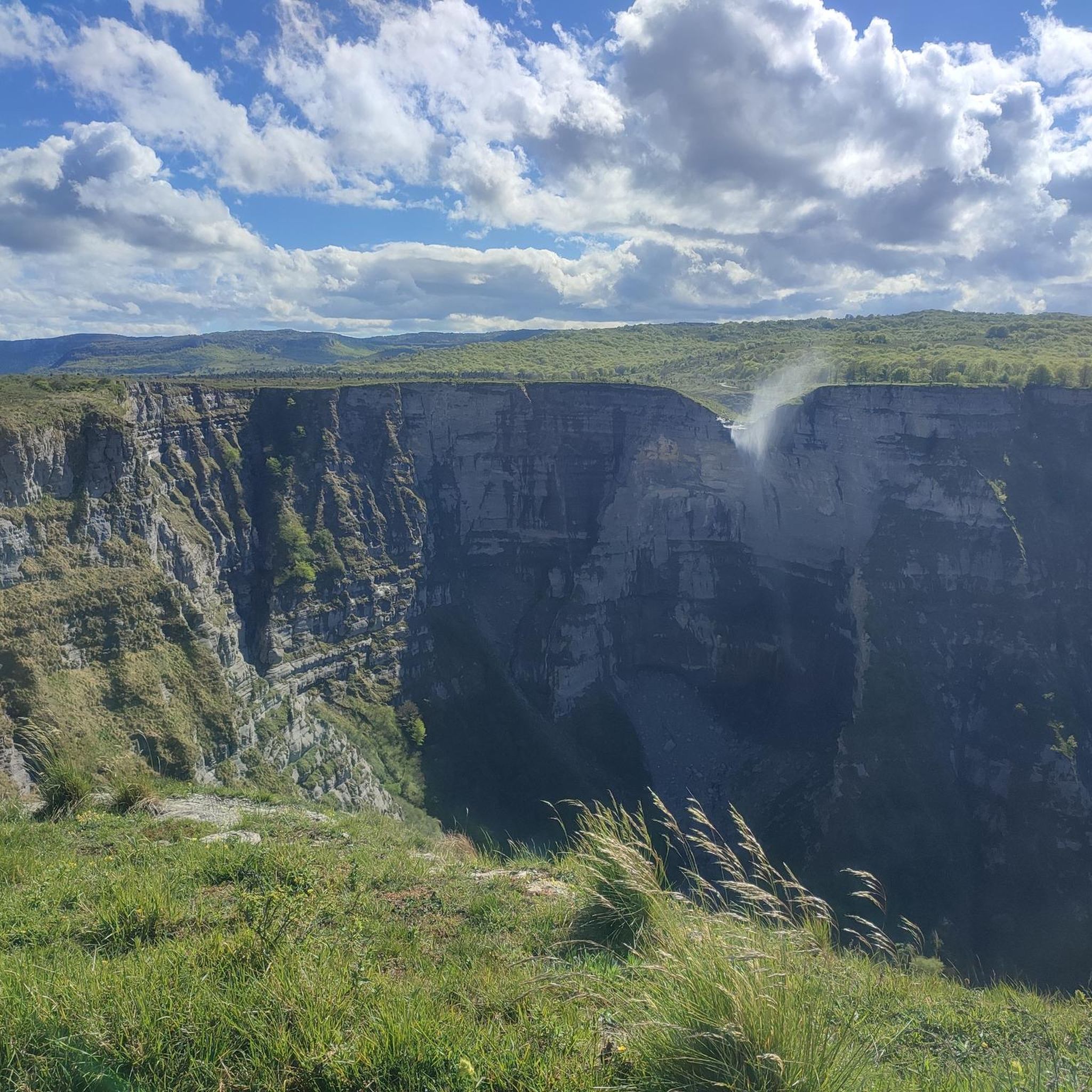
A fantastic waterfall, if the Rio Nervión is flowing. If not, the viewpoint is still spectacular.
2
0

It's beautiful! It's absolutely magical to see the horses, especially at sunset!
0
0

Unfortunately, the Nervión has no water today, 2.5.25, so the spectacular waterfall was only a viewpoint in the canyon
4
0

Breathtaking panoramic views
0
0

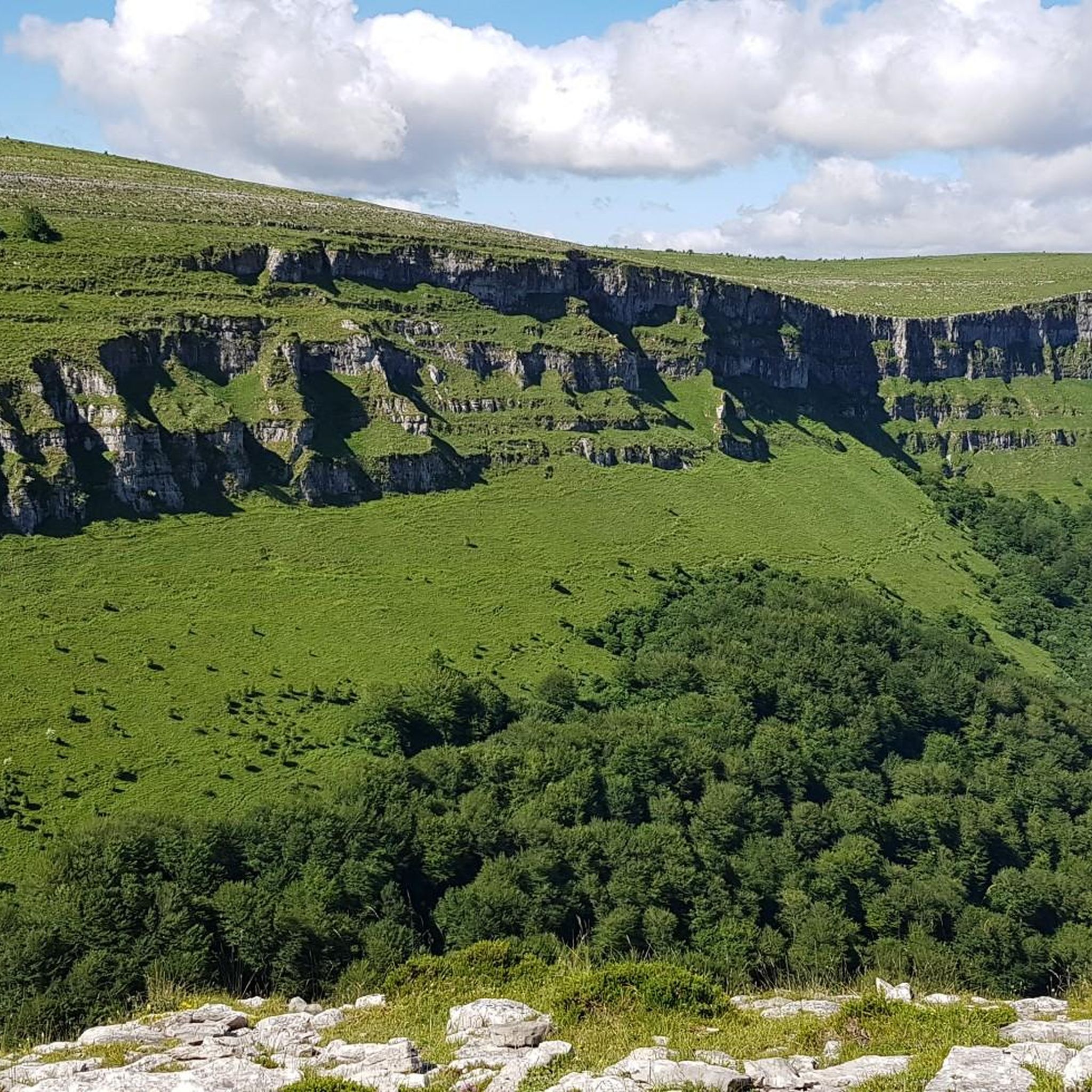
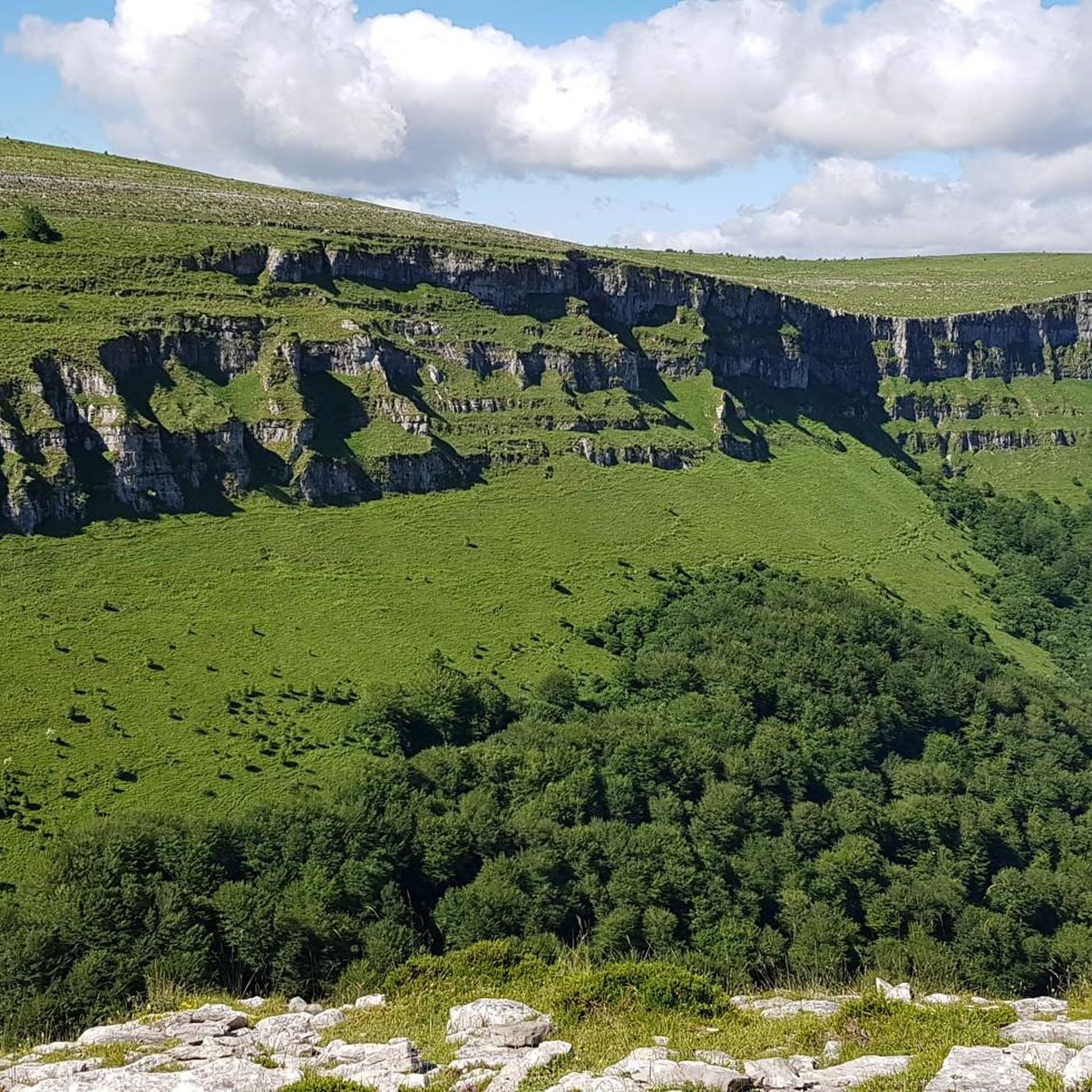
Views of the valley where the Nervión River runs on its way to Bilbao, with Orduña in the background.
1
0


very beautiful view here
9
0
Pico del Fraile (864 m) is a mountain in the Cordillera. There is a path to the top. The nearest mountain refuge is Refugio del Tolope, located 1,037 m/3,402 ft NNW from the summit.
3
0
Frequently Asked Questions
How many hiking trails are available in Gorobel Mendilerroa Bbe/Zepa Sierra Sálvada?
There are over 200 hiking routes in Gorobel Mendilerroa Bbe/Zepa Sierra Sálvada, offering a wide variety of options for outdoor enthusiasts. These trails range in difficulty and length, ensuring there's something for every hiker.
What are the general difficulty levels of hiking trails in this region?
The trails in Gorobel Mendilerroa Bbe/Zepa Sierra Sálvada cater to various skill levels. You'll find approximately 45 easy routes, over 120 moderate trails, and around 35 more challenging hikes, including demanding ascents to peaks like Eskutxi and Ungino.
What do other hikers say about the trails in Gorobel Mendilerroa Bbe/Zepa Sierra Sálvada?
The hiking trails in Gorobel Mendilerroa Bbe/Zepa Sierra Sálvada are highly rated by the komoot community, with an average score of 4.6 stars from over 570 reviews. Hikers often praise the region's dramatic cliffs, unique geological formations, and the stunning natural beauty, especially around the Nervión Waterfall.
Are there any notable natural landmarks or viewpoints to discover while hiking?
Yes, the region is rich in natural landmarks. Hikers can explore the impressive Nervión Waterfall, the spectacular natural stone arch known as the 'Ojo de Ungino' (Eye of Ungino), and enjoy panoramic vistas from peaks like Txarlazo and Tologorri. The Esquina de Rubén Viewpoint also offers stunning views.
Can I see the Nervión Waterfall on a hike?
Absolutely! The Nervión Waterfall is a major attraction. A popular route to experience it is the Nervión River – Esquina de Rubén Viewpoint loop from Tertanga, which offers excellent views of this impressive 222-meter high cascade. The waterfall is most spectacular after heavy rainfall or during the thaw season.
Are there any caves or unique geological formations in the area?
Yes, the limestone composition of Sierra Sálvada has led to the formation of over 350 caves, including the extensive 45-kilometer System of the Beech Forest of Ponata. The higher elevations also feature abundant dolines and lapiaces, showcasing the region's distinctive karst topography.
Are there options for family-friendly hikes?
While some routes can be challenging, there are easier trails suitable for families. Look for routes with less elevation gain and shorter distances. The region's diverse landscapes, including the Nervión Waterfall area, often have paths that are more accessible for a family outing.
Are dogs allowed on the hiking trails?
Gorobel Mendilerroa Bbe/Zepa Sierra Sálvada is a Special Protection Area for various bird species and home to rich biodiversity. While many trails are generally dog-friendly, it's always recommended to keep dogs on a leash to protect wildlife and ensure their safety, especially in areas with livestock or steep terrain. Please check local signage for any specific restrictions.
Are there circular hiking routes available?
Yes, the region offers numerous circular routes that allow you to explore multiple peaks and natural features without retracing your steps. An example is the Barrerilla Pass – Tologorri loop from Gorobel mendilerroa BBE, which takes you through mountain passes and towards the Tologorri peak.
What is the best time of year to hike in Gorobel Mendilerroa Bbe/Zepa Sierra Sálvada?
The best time to visit depends on your preferences. Spring (after heavy rains) and late autumn are ideal for witnessing the full force of the Nervión Waterfall. Autumn also offers beautiful landscapes, such as along the Senda Negra. Summers can be warm, while winters may bring snow to higher elevations, making some routes more challenging.
Is there public transport access to the trailheads?
Public transport options directly to all trailheads in Gorobel Mendilerroa Bbe/Zepa Sierra Sálvada can be limited. It is advisable to research specific routes and their proximity to bus or train stations in nearby towns like Orduña or Tertanga, and plan for potential taxi services or carpooling for the final leg of your journey.
Where can I find parking for the hiking trails?
Parking is generally available at common starting points for popular trails, such as near the Nervión Waterfall viewpoint or in villages like Tertanga. However, spaces can fill up quickly during peak seasons. Always arrive early, especially on weekends, and respect local parking regulations.
Are there any mountain refuges or shelters for hikers?
Yes, for those undertaking longer or more challenging hikes, the Refugio del Tologorri serves as a mountain refuge. It provides a basic shelter for hikers, particularly useful for routes that include the Tologorri peak.
Most popular routes in Gorobel Mendilerroa Bbe/Zepa Sierra Sálvada
Most popular attractions in Gorobel Mendilerroa Bbe/Zepa Sierra Sálvada

Get inspired with the komoot mobile app


Explore more
Browse the best Hikes in other regions.
