The best cycling routes in Laurel Creek Conservation Area
4.5
(118)
695
riders
72
rides
Touring cycling in Laurel Creek Conservation Area offers routes through diverse natural settings. The area is characterized by woodlands, open parkland, and trails alongside Laurel Creek. Terrain is generally flat to gently rolling, with minimal elevation changes, making it suitable for various cycling abilities. These routes provide access to the natural beauty of the conservation area and connect to surrounding urban green spaces.
Best touring cycling routes in Laurel Creek Conservation Area
- The most popular touring cycling route is Waterloo Park – Silver Lake loop from Waterloo, an 8.3 miles (13.4 km) trail that takes about 50 minutes to complete, passing through urban parkland and by Silver Lake.
- Another top favourite among local touring cyclists is Columbia Forest – Columbia Forest Trail loop from Laurel Creek Conservation Area, a moderate 14.7 miles (23.7 km) path. This route winds through the forested areas of Columbia Forest, offering a natural cycling experience.
- Local touring cyclists also love the Bike loop from Laurel Creek Conservation Area, a 10.6 miles (17.1 km) trail leading through the heart of the conservation area, often completed in about 1 hour.
- Touring cycling in Laurel Creek Conservation Area is defined by woodlands, waterways, and open parkland. The network offers options for different ability levels, from easy loops to moderate excursions.
- The routes in Laurel Creek Conservation Area are highly rated by the komoot community with an average score of 4.4 stars from more than 90 reviews. More than 600 touring cyclists have used komoot to explore Laurel Creek Conservation Area's varied terrain.
Last updated: October 7, 2026
4.7
(7)
28
riders
23.8km
01:24
110m
110m
Easy bike ride. Great for any fitness level. Mostly paved surfaces. Suitable for all skill levels.
16
riders
13.7km
00:51
70m
70m
Easy bike ride. Great for any fitness level. Mostly paved surfaces. Suitable for all skill levels.

7
riders
Moderate bike ride. Good fitness required. Mostly paved surfaces. Suitable for all skill levels.
5.0
(2)
4
riders
17.1km
01:01
120m
120m
Easy bike ride. Great for any fitness level. Mostly paved surfaces. Suitable for all skill levels.
4
riders
Easy bike ride. Great for any fitness level. Mostly paved surfaces. Suitable for all skill levels.
Get access to more routes and recommendations from other explorers.
Already have an account?
Our route recommendations are based on thousands of hikes, rides, and runs completed by other people on komoot.
Start today with a free account
Your next adventure awaits.
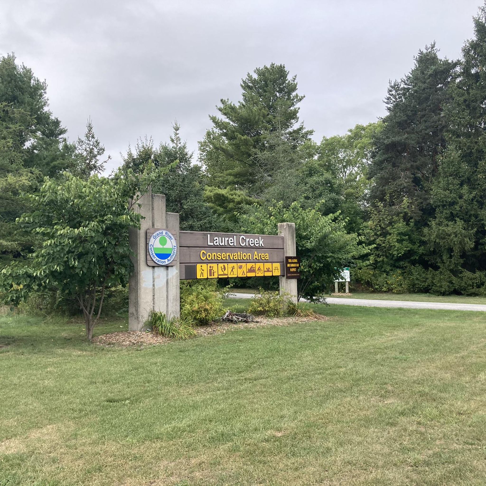

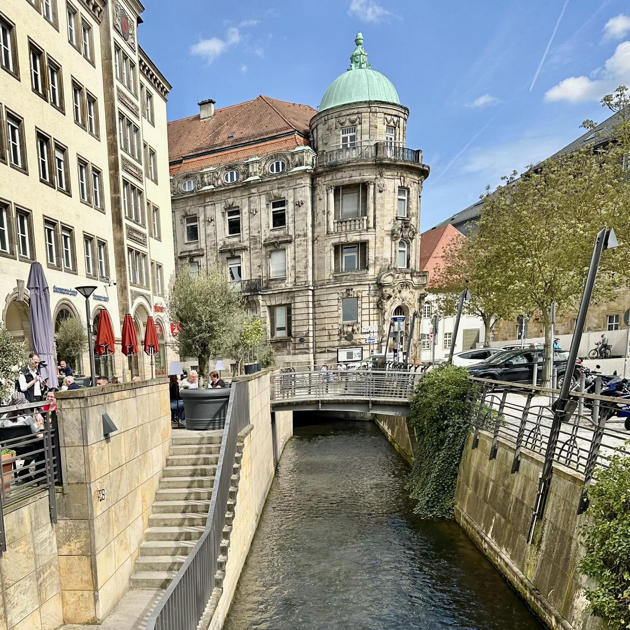
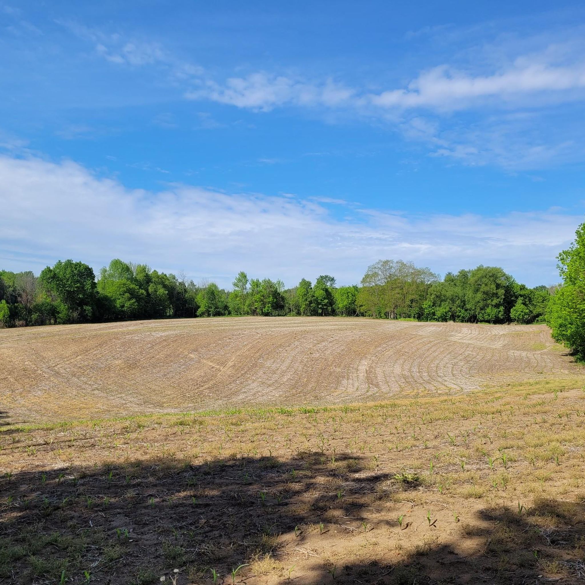

Tips from the Community

The monument does more than just show off old European design. It sits at the center of modern community conversations. As you walk by, you might notice how it serves as a powerful reminder of Canada's complex colonial past. In fact, local groups are working to add new Indigenous artwork nearby to give you a fuller look at the area's diverse history.
0
0
Officially named Otis Little Lake but known by locals simply as the lake at Victoria Park, this man-made gem has been a community hub since 1896.
0
0
Built back in 1896, this rare, iron-and-steel cantilever truss bridge is one of the oldest of its kind in Canada.
1
0

From here you'll have access to a multitude of trail like Upper Ities, Downtown, The 4 Ities, and A-Line. The are all multi-use trail with some features built for mountain bikers, so keep an eye out for your fellow trail users.
0
0

Laurel Creek runs quietly alongside much of the trail. In most sections, it’s wide like a small river, with reeds, grasses, and low vegetation lining the banks. The water level can vary depending on rainfall, and in drier periods it can look quite low. It’s not used for recreation, but it adds a consistent natural element to the route, especially through the less developed stretches.
0
0
Laurel Trail runs for about eight kilometres alongside Laurel Creek, connecting Uptown Waterloo with the University of Waterloo and down to Columbia Lake. It’s a multi-use route with a mix of paved and gravel sections, so you’ll be sharing it with cyclists in places. The terrain is mostly level, following the creek through a mix of urban green space and more natural stretches. It’s easy to dip in and out of, but also works well as a continuous route if you follow it end to end.
0
0
Columbia Lake is a shallow, man-made lake designed as part of a stormwater and wetland system on the University of Waterloo campus. The water is generally still, with large sections of reeds and marsh around the edges rather than open shoreline. It’s not used for swimming or boating, but it attracts plenty of birdlife, especially around the quieter sections. The level can fluctuate depending on rainfall, so it can look different throughout the year.
0
0
Often called the “jewel of the city,” Waterloo Park blends natural trails, open lawns and multi-use pathways with an impressive mix of facilities for all ages and interests. The park features three paved trail systems (including the Iron Horse and Trans-Canada trails) for walkers, runners and cyclists. The park also features sports fields, a skate park, and a summer splash pad. Families and nature lovers can explore Silver Lake’s boardwalk, Victorian-style gardens, picnic shelters, and the city’s oldest log schoolhouse tucked into the green space.Whether you’re here for a short neighbourhood walk, a scenic bike ride, an energetic skate session or a relaxed picnic by the lake, Waterloo Park delivers something for everyone in a lush, urban-forest setting.
0
0
Frequently Asked Questions
What kind of terrain can I expect when touring cycling in Laurel Creek Conservation Area?
The terrain in Laurel Creek Conservation Area is generally flat to gently rolling, with minimal elevation changes. You'll cycle through diverse natural settings including woodlands, open parkland, and trails alongside Laurel Creek, making it suitable for various cycling abilities.
Are there touring cycling routes suitable for beginners or families with children?
Yes, Laurel Creek Conservation Area offers many routes suitable for beginners and families. Out of 82 touring cycling routes, 61 are rated as easy. An excellent option for a relaxed ride is the Environmental Reserve loop from Laurelwood, which is 8.0 km long and takes about 30 minutes.
Are there any circular touring cycling routes in Laurel Creek Conservation Area?
Yes, many routes in the area are loops, allowing you to start and end at the same point. For example, the popular Waterloo Park – Silver Lake loop from Waterloo is an 8.3-mile (13.4 km) trail that takes about 50 minutes to complete, passing through urban parkland and by Silver Lake.
What is the best time of year to go touring cycling in Laurel Creek Conservation Area?
The spring, summer, and fall months generally offer the most pleasant conditions for touring cycling in Laurel Creek Conservation Area. Spring brings lush greenery, summer provides warm weather, and fall showcases vibrant foliage. Always check local weather and trail conditions before heading out.
Can I bring my dog on the cycling paths in Laurel Creek Conservation Area?
Many trails within conservation areas in Ontario, including Laurel Creek, are dog-friendly, provided dogs are kept on a leash. It's always best to check specific signage at trailheads or the official Grand River Conservation Authority website for the most current regulations regarding pets on trails.
How long do touring cycling routes typically take in Laurel Creek Conservation Area?
Route durations vary depending on distance and your pace. For instance, the Bike loop from Laurel Creek Conservation Area is a 17.1 km trail that typically takes about 1 hour to complete, while the more moderate Columbia Forest – Columbia Forest Trail loop is 23.7 km and can take closer to 2 hours.
Are there any scenic viewpoints or natural attractions along the touring cycling routes?
The routes in Laurel Creek Conservation Area offer views of woodlands, open parkland, and the Laurel Creek itself. While there aren't specific 'viewpoints' listed, the natural beauty of the conservation area, including its waterways and forested sections, provides a scenic backdrop for your ride. Keep an eye out for local wildlife.
What do other touring cyclists say about their experience in Laurel Creek Conservation Area?
The touring cycling routes in Laurel Creek Conservation Area are highly rated by the komoot community, with an average score of 4.4 stars from over 90 reviews. Cyclists often praise the area for its accessible trails, natural surroundings, and the variety of routes that cater to different skill levels.
Are there options for longer touring cycling excursions in the area?
Yes, for those looking for a longer ride, routes like the Columbia Forest – Columbia Forest Trail loop from Laurel Creek Conservation Area cover 23.7 km. You can also combine shorter loops or connect to surrounding urban green spaces for extended journeys.
Is there parking available for cyclists at Laurel Creek Conservation Area?
Laurel Creek Conservation Area provides designated parking areas for visitors. Specific parking locations and any associated fees can typically be found on the Grand River Conservation Authority's official website or at the entrance to the conservation area.
Are there any cafes or places to get refreshments near the cycling trails?
While the conservation area itself focuses on natural experiences, its proximity to Waterloo means that cafes and refreshment options are readily available in the nearby urban areas. You can easily find places to refuel before or after your ride, especially if your route connects to areas like Waterloo Park or the University of Waterloo.
What makes touring cycling in Laurel Creek Conservation Area unique compared to other areas in the Waterloo region?
Laurel Creek Conservation Area stands out for its blend of natural tranquility and accessibility. It offers a dedicated network of trails through woodlands and along the creek, providing a peaceful escape within close proximity to urban centers. The generally flat to gently rolling terrain makes it particularly inviting for touring cyclists of all abilities.
Most popular routes in Laurel Creek Conservation Area

Get inspired with the komoot mobile app


Explore more
Browse the best Cycling routes in other regions.
