The best road cycling routes in Monti Del Gennargentu
4.8
(38)
952
riders
76
rides
Road cycling in Monti Del Gennargentu offers challenging routes through a mountainous landscape characterized by significant elevation changes, winding roads, and panoramic views. This region, part of a natural park, features rugged terrain, deep valleys, and traditional villages. Road cyclists can expect varied gradients and extended climbs across the central Sardinian highlands.
Best road cycling routes in Monti Del Gennargentu
- The most popular road cycling route is Ring in the Gennargentiu Mountains from Gairo Taquisara, a 35.1 miles (56.5 km) trail that takes 3 hours 7 minutes to complete. This difficult route offers a comprehensive loop through the heart of the Gennargentu mountains.
- Another top favourite among local road cyclists is Gairo Village – Ardasai Nuraghe loop from Seui, a difficult 60.9 miles (98.0 km) path. This route connects historic villages with ancient Nuraghe sites, providing both cultural and scenic interest.
- Local road cyclists also love the View of Perda 'e Liana – Riu Saraginu Valley loop from Seui, a 55.6 miles (89.5 km) trail leading through mountainous terrain and river valleys, often completed in about 5 hours 9 minutes.
- Road cycling in Monti Del Gennargentu is defined by high mountain passes, deep valleys, and traditional Sardinian villages. The network offers options for various ability levels, from easier routes to advanced road cycling routes with significant climbs.
- The routes in Monti Del Gennargentu are highly rated by the komoot community with an average score of 4.7 stars from 26 reviews. More than 600 road cyclists have used komoot to explore Monti Del Gennargentu's varied terrain.
Last updated: July 8, 2026
14
riders
56.5km
03:07
1,150m
1,150m
Hard road ride. Very good fitness required. Some segments of this route may be unpaved and difficult to ride.
65
riders
115km
06:43
2,420m
2,420m
Hard road ride. Very good fitness required. Some segments of this route may be unpaved and difficult to ride.

Sign up for free
17
riders
98.0km
05:22
2,010m
2,010m
Hard road ride. Very good fitness required. Some segments of this route may be unpaved and difficult to ride.
8
riders
165km
09:16
3,610m
3,610m
Hard road ride. Very good fitness required. Mostly well-paved surfaces and easy to ride.
10
riders
66.4km
03:42
1,470m
1,470m
Hard road ride. Very good fitness required. Mostly well-paved surfaces and easy to ride.
Get access to more routes and recommendations from other explorers.
Sign up for free
Already have an account?
Our route recommendations are based on thousands of hikes, rides, and runs completed by other people on komoot.
Start today with a free account
Your next adventure awaits.
Login or Signup
Popular around Monti Del Gennargentu



Tips from the Community

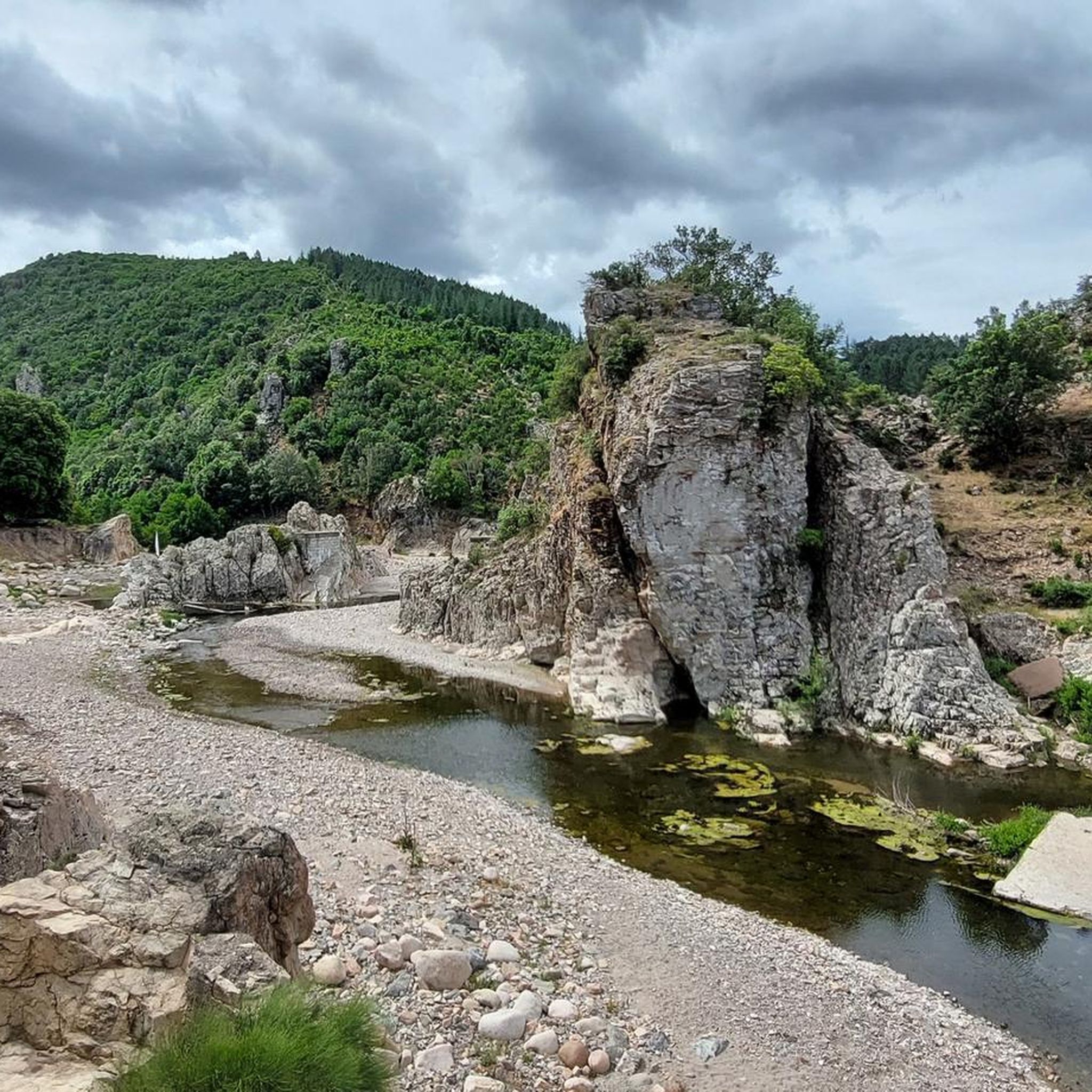
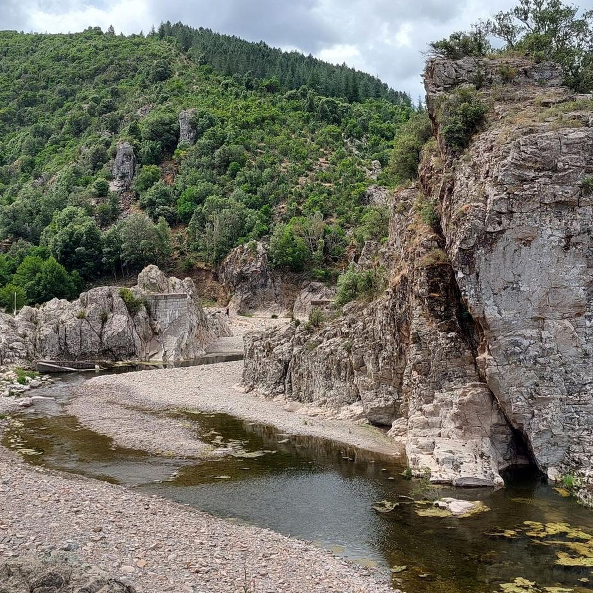
This beautiful park is located in the municipality of Elini
4
0
Built after the 1951 flood, the inhabitants abandoned old Gairo.
4
0
Bridge on the SS125 which stands out for its shape and also for a small narrowing of the roadway
4
0
Beautiful town in the Torre di Bari hamlet which is a few km away
3
0
The historic center of the town (which today is called "Gairo Vecchio") was half destroyed by a flood in 1951, and was subsequently completely abandoned, to rebuild new houses a little higher up than the half-destroyed village and on the coast, the latter then forming over the years the town of Cardedu.
2
0
Old Gairo was abandoned after the 1951 flood; its residents rebuilt the village a little further up. It's certainly evocative, being right on the road from Gairo to Jerzu, and seeing it abandoned brings a touch of melancholy to those passing by.
3
0
A beautiful village on the slopes of rocky mountains, it has truly interesting views, half of which are climbing enthusiasts.
3
0
A wine country, nestled between the sea and the mountains, to be revisited in peace, perhaps sipping a nice glass of wine accompanied by the good local food.
2
2
Frequently Asked Questions
How many road cycling routes are there in Monti Del Gennargentu?
Monti Del Gennargentu offers a wide selection of road cycling routes, with over 50 options available. These routes cater to various skill levels, though the majority are considered difficult due to the mountainous terrain.
What are the typical distances and durations for road cycling routes in Monti Del Gennargentu?
Routes in Monti Del Gennargentu vary significantly. For example, the Ring in the Gennargentiu Mountains from Gairo Taquisara is about 35 miles (56 km) and takes around 3 hours. Longer routes, such as the Fonni Village – View of Desulo loop from Su Filariu, can extend to over 100 miles (160 km) and require more than 9 hours to complete.
Are there challenging road cycling climbs in Monti Del Gennargentu?
Yes, Monti Del Gennargentu is known for its challenging climbs. The region is characterized by significant elevation changes, with many routes featuring substantial ascents. For instance, the Gairo Village – Ardasai Nuraghe loop from Seui includes over 2000 meters of elevation gain, making it a demanding ride.
Are there any easier road cycling routes in Monti Del Gennargentu?
While Monti Del Gennargentu is predominantly known for its difficult routes, there is at least one route classified as easy. However, most routes involve significant climbs and descents, so even easier options may still present some challenges due to the mountainous landscape.
Can I find loop road cycling routes in Monti Del Gennargentu?
Yes, many road cycling routes in Monti Del Gennargentu are designed as loops, allowing you to start and finish in the same location. Examples include the popular Ring in the Gennargentiu Mountains from Gairo Taquisara and the View of Perda 'e Liana – Riu Saraginu Valley loop from Seui.
What scenic views can I expect while road cycling in Monti Del Gennargentu?
Road cycling in Monti Del Gennargentu offers panoramic views of rugged terrain, deep valleys, and traditional Sardinian villages. You can expect vistas of prominent peaks like Summit of Punta La Marmora and Mount Bruncu Spina, as well as unique natural monuments such as Perda e Liana.
Are there any natural landmarks or attractions to see along the road cycling routes?
Absolutely. Along the routes, you can encounter several natural landmarks. Notable attractions include the impressive Pirincanes Waterfall and the distinctive rock formation of Perda e Liana. Many routes also pass through traditional villages, offering cultural insights.
Is parking available for road cyclists in Monti Del Gennargentu?
Parking availability varies by starting point. Many villages and towns that serve as route beginnings, such as Gairo Taquisara or Seui, typically offer public parking options. It's advisable to check specific village information for designated parking areas before your ride.
How can I reach the road cycling trails in Monti Del Gennargentu using public transport?
Public transport options to Monti Del Gennargentu are limited, especially for reaching specific trailheads with a road bike. While some regional bus services connect larger towns, direct access to more remote starting points for cycling routes can be challenging. Planning your journey by car is often the most practical approach for cyclists.
Are there road cycling routes suitable for families in Monti Del Gennargentu?
Given the mountainous and challenging nature of most road cycling routes in Monti Del Gennargentu, options specifically designed for families with young children are very limited. The terrain often involves significant climbs and descents, making it more suitable for experienced cyclists. If cycling with family, look for the few easier rated routes or consider shorter, flatter sections within villages.
What should I wear for road biking in Monti Del Gennargentu, especially in summer?
In summer, lightweight, breathable cycling apparel is essential. Monti Del Gennargentu can get very warm, but due to the elevation, temperatures can drop, especially in the mornings or evenings. Always bring layers, including a light wind vest or jacket for descents and higher altitudes. Sun protection (sunscreen, sunglasses, cap under helmet) is also crucial.
What do other road cyclists say about the routes in Monti Del Gennargentu?
The road cycling routes in Monti Del Gennargentu are highly rated by the komoot community, with an average score of 4.7 stars from over 25 reviews. Cyclists often praise the challenging climbs, the stunning panoramic views, and the opportunity to explore traditional Sardinian villages and natural landmarks.
Most popular routes in Monti Del Gennargentu
Most popular attractions in Monti Del Gennargentu

Get inspired with the komoot mobile app


Explore more
Browse the best Road cycling routes in other regions.
