The best road cycling routes in Ex Polveriera Militare Di Padula
4.7
(65)
744
riders
53
rides
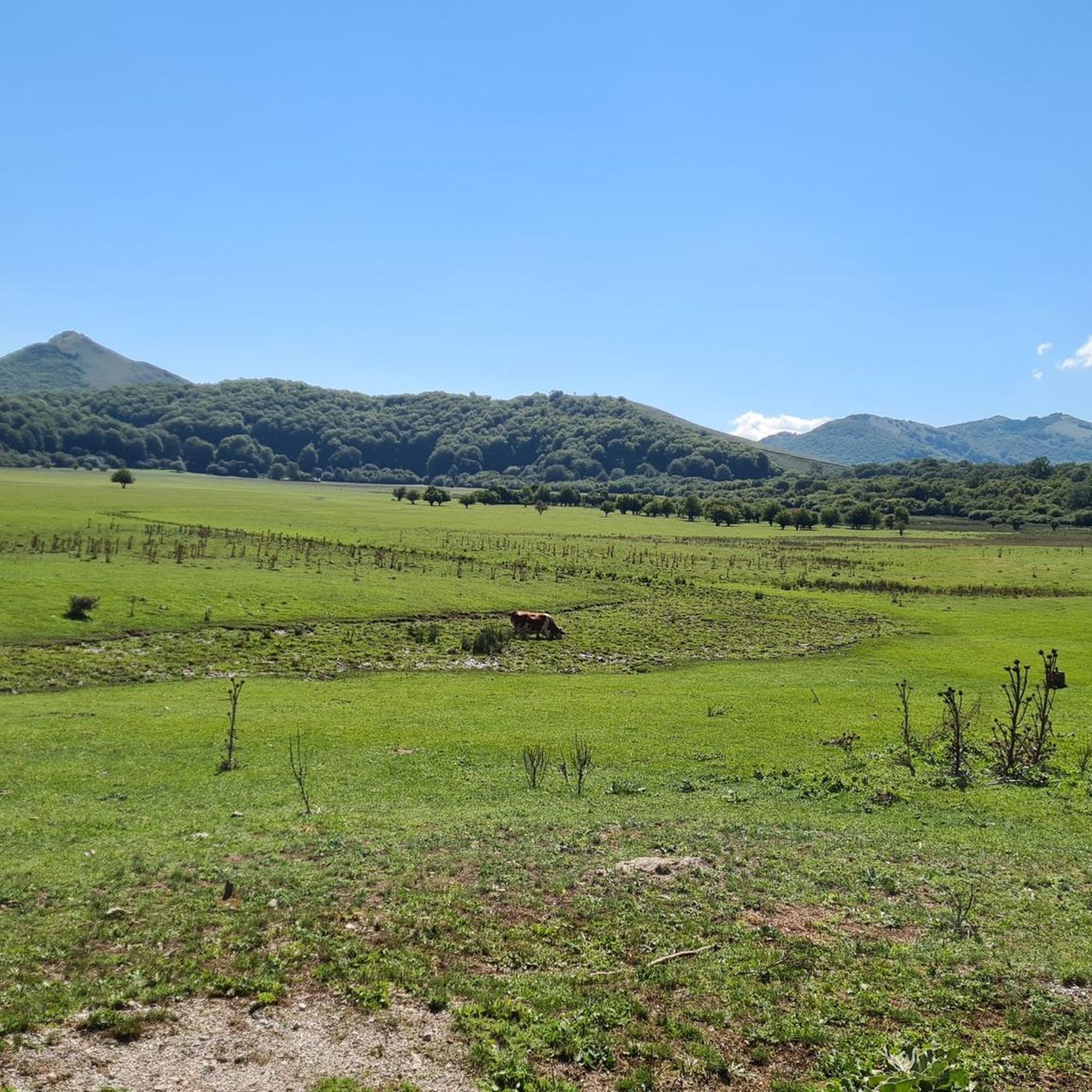
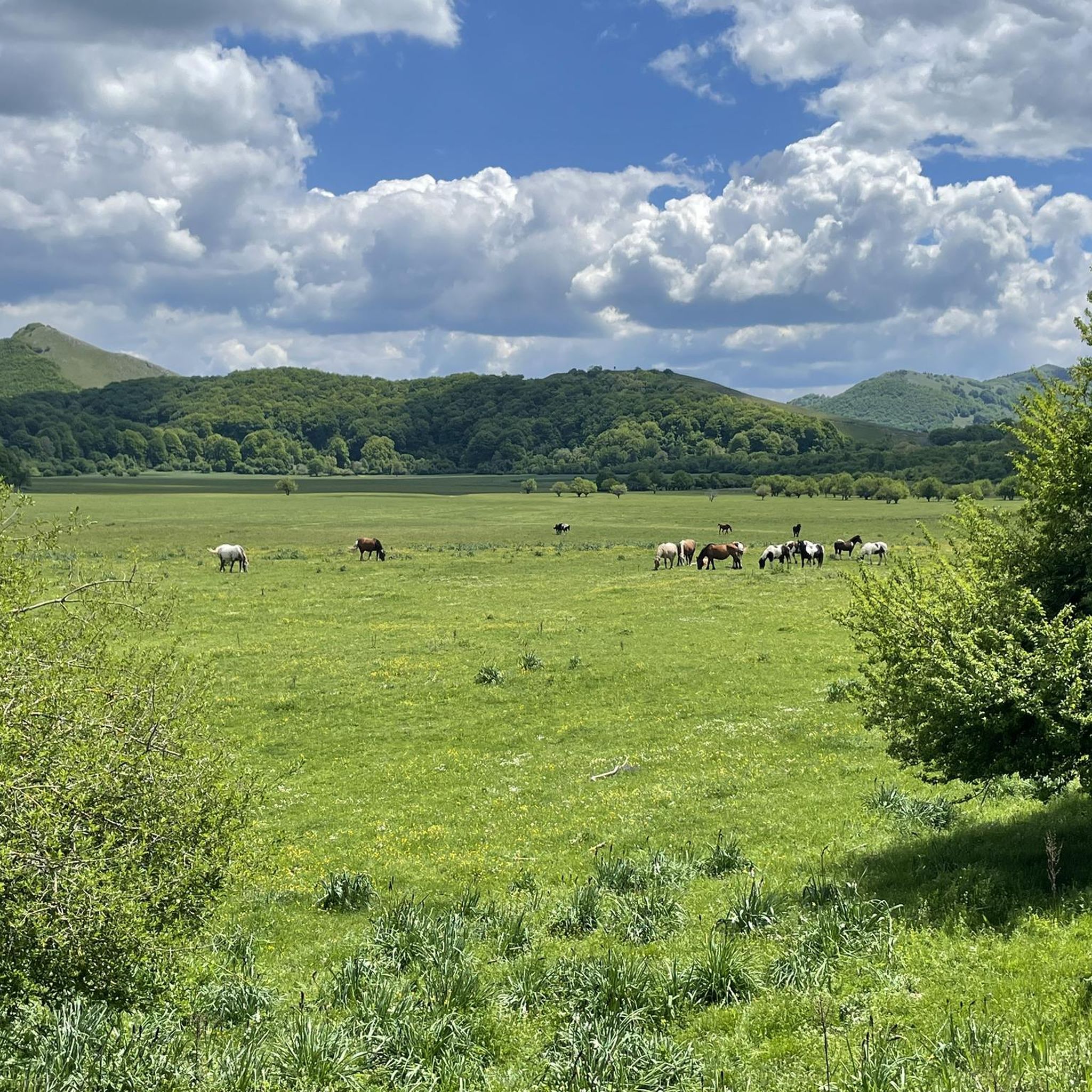
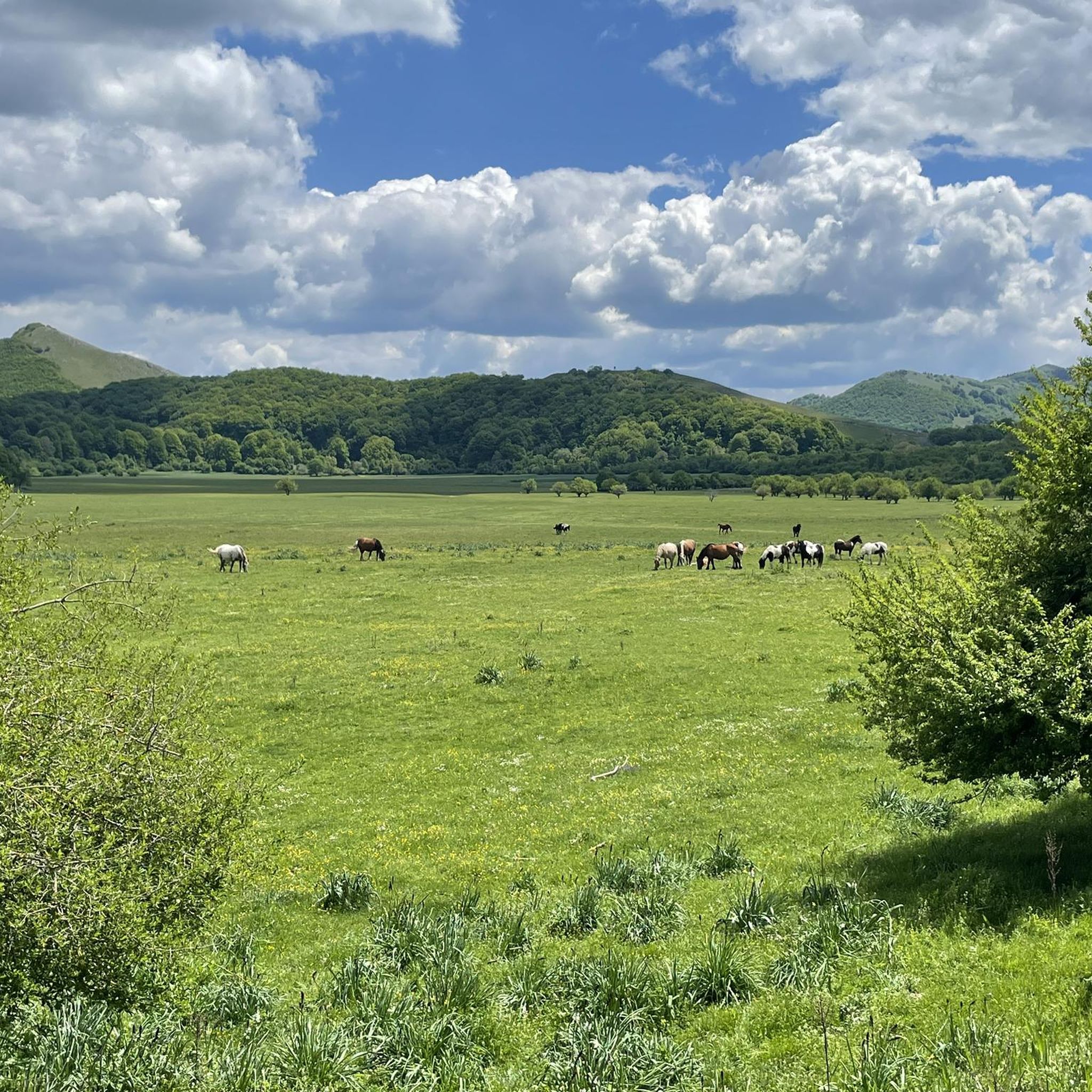
Road cycling routes in Ex Polveriera Militare Di Padula traverse a region characterized by varied terrain, including the expansive Mandranello Plain and green hills. The area features river paths and offers a mix of urban and countryside landscapes. Cyclists can expect routes with gentle inclines, descents, and flat sections, alongside more challenging options with significant elevation gains in the broader mountainous surroundings. The natural reserve setting provides a distinctive backdrop for road cycling.
Best road cycling routes in Ex Polveriera Militare Di Padula
- The most popular road cycling route is Villa Romana di Marsicovetere – Agri River loop from Paterno, a 21.2 miles (34.1 km) trail that takes 1 hour 35 minutes to complete. This moderate route follows the Agri River, offering scenic views.
- Another top favourite among local road cyclists is Loop tour from Padula and on the Tanagro along the Via Silente, an easy 19.9 miles (32.1 km) path. This route from Padula follows the Tanagro river, providing a pleasant ride.
- Local road cyclists also love the Roadbike loop from Marsico Nuovo, a 17.7 miles (28.5 km) trail leading through the local countryside, often completed in about 1 hour 20 minutes.
- Road cycling in Ex Polveriera Militare Di Padula is defined by open plains, river paths, and green hills. The network offers options for different ability levels, from easy riverside rides to more challenging routes with notable climbs.
- The routes in Ex Polveriera Militare Di Padula are highly rated by the komoot community with an average score of 4.7 stars from several reviews. More than 700 road cyclists have used komoot to explore Ex Polveriera Militare Di Padula's varied terrain.
Last updated: October 21, 2026
15
riders
64.2km
02:58
600m
600m
Moderate road ride. Good fitness required. Some segments of this route may be unpaved and difficult to ride.
10
riders
44.4km
02:44
950m
950m
Hard road ride. Very good fitness required. Mostly well-paved surfaces and easy to ride.

32.1km
01:32
240m
250m
Easy road ride. Great for any fitness level. Mostly well-paved surfaces and easy to ride.
5.0
(1)
30
riders
62.0km
02:51
640m
630m
Moderate road ride. Good fitness required. Mostly well-paved surfaces and easy to ride.
5.0
(1)
10
riders
51.4km
02:40
860m
850m
Moderate road ride. Good fitness required. Mostly well-paved surfaces and easy to ride.
Get access to more routes and recommendations from other explorers.
Already have an account?
Our route recommendations are based on thousands of hikes, rides, and runs completed by other people on komoot.
Start today with a free account
Your next adventure awaits.
Popular around Ex Polveriera Militare Di Padula

Tips from the Community

It is the place of spirit, art, culture and silence.
0
0

Amazing place along the silent road, worth a break
0
0

The Grumentum Archaeological Park preserves, within an exceptionally suggestive landscape, the remains of one of the major Roman cities of Regio III: Lucania et Bruttii. Initially a small Lucanian center allied with Rome, settled since the beginning of the 3rd century BC, it was crossed by Hannibal during the Second Punic War, when he took the side of the Carthaginians, and was the scene of a battle narrated by Livy. Following a slow process of Romanization, which provided for land assignments to the Romans through the centuriation system, the center was monumentalized starting from the middle of the 1st century BC, when it was refounded as a Roman colony. From this period onwards, it was equipped with all the typical monuments of Roman cities, in imitation of the Urbe. Today the site, a unique example in Basilicata of a Roman urban plan that is clearly legible as a whole, allows a visit through the public and private spaces of the Roman city, still delineated by the regularity of the ancient road axes. From the theater you can reach the Italic temple, the domus with mosaics and, along the paving of the main plateia, the area of the Forum with public, civil and religious buildings (Capitolium, Augusteo, Porticus, Curia, Basilica, Forensic Baths). The route then continues to the Terme Maggiori, an extraordinarily preserved thermal complex, rich in luxurious decorative apparatus (mosaics, imported marbles...), to the Basilica of Santa Maria Assunta, which represents the first cathedral when the center became the seat of a bishop. The route ends near the monumental amphitheater, one of the oldest masonry amphitheaters known to us. Strategically positioned on the eastern edge of the hill, it is located overlooking the Pietra del Pertusillo Lake, in the heart of the Appennino Lucano National Park. A visit to Grumentum allows you to fully appreciate the close relationship between archaeology and nature, between landscape and culture. Source Ministry of Culture Discover all our routes on www.viaggiatorelento.com
0
0

Great way to outsmart a rainy day in the Cilento
1
0

Archaeological area of the ancient Roman Grumentum.
0
0
Beautiful little village perched on the mountain slope.
0
0

The road crosses the clear waters of the Tanagro river surrounded by dense vegetation.
1
0
The Early Christian Baptistery of San Giovanni in Fronte is unique in Italy for the presence of a spring in the center of the church, with the waters collected in a tub for baptism by immersion. It was founded in the 4th century by Pope Marcellus I and represents one of the oldest Christian settlements of the Constantinian age.
1
0
Frequently Asked Questions
How many road cycling routes are available in Ex Polveriera Militare Di Padula?
There are over 50 road cycling routes in Ex Polveriera Militare Di Padula, offering a wide range of options for different skill levels and preferences.
Are there road cycling routes suitable for beginners?
Yes, the region offers several easy routes. An excellent option for beginners is the Loop tour from Padula and on the Tanagro along the Via Silente, which is 32.1 km long with moderate elevation gain, following the Tanagro river for a pleasant ride.
What kind of scenery will I encounter on the road cycling routes?
You'll experience diverse scenery, from the expansive Piana di Mandranello with its endorheic mountain lake to lush woodlands and numerous water springs within the Mandranello Natural Oasis. Many routes also follow river paths, offering a mix of natural landscapes and glimpses of the broader Lucanian Hills.
Are there challenging routes for experienced road cyclists?
Absolutely. While many routes feature gentle inclines, the broader mountainous surroundings offer more challenging options with significant elevation gains. There are 25 difficult routes available for those seeking a demanding ride.
Are there any circular road cycling routes in the area?
Yes, many routes are designed as loops, allowing you to start and finish at the same point. For example, the Villa Romana di Marsicovetere – Agri River loop from Paterno is a popular moderate 34.1 km circular route, and the Roadbike loop from Marsico Nuovo offers a 28.5 km ride through the countryside.
What historical sites or attractions can I see while cycling?
The region is rich in history. The area itself is a former military explosives depot with over 80 buildings, many in ruins, offering a unique historical backdrop. Beyond that, you can visit the magnificent Certosa di Padula, one of Italy's largest Baroque complexes, or cycle towards Monte Volturino for panoramic views of the entire valley.
What is the best time of year for road cycling in Ex Polveriera Militare Di Padula?
The region, situated at altitudes between 1000 and 1300 meters, is ideal for cycling during spring, summer, and early autumn. These seasons offer pleasant temperatures and lush green landscapes, perfect for enjoying the diverse terrain.
Are there any longer road cycling routes for endurance training?
Yes, for longer rides, consider the Viggiano loop from Marsico Nuovo, which spans 54.5 km with over 700 meters of elevation gain, providing a good challenge for endurance. Another option is the Villa Romana di Marsicovetere – Marsico Nuovo Reservoir loop from Marsico Nuovo, a 46 km route with significant climbing.
What do other road cyclists say about the routes in Ex Polveriera Militare Di Padula?
The routes in Ex Polveriera Militare Di Padula are highly rated by the komoot community, with an average score of 4.7 stars from numerous reviews. Cyclists often praise the varied terrain, from open plains and river paths to green hills, and the tranquil environment of the 'secret cycling routes' along often deserted secondary roads.
Is it possible to find quiet, less-trafficked roads for cycling?
Yes, the broader Lucanian Hills region, where Padula is located, is known for its 'secret cycling routes' along often deserted secondary roads. This makes it an attractive area for cyclists seeking serene and picturesque rides away from heavy traffic.
Most popular routes in Ex Polveriera Militare Di Padula

Get inspired with the komoot mobile app


Explore more
Browse the best Road cycling routes in other regions.
