The best running trails in Moore Und Weiher Um Brunnen
4.4
(217)
2,563
runners
355
runs
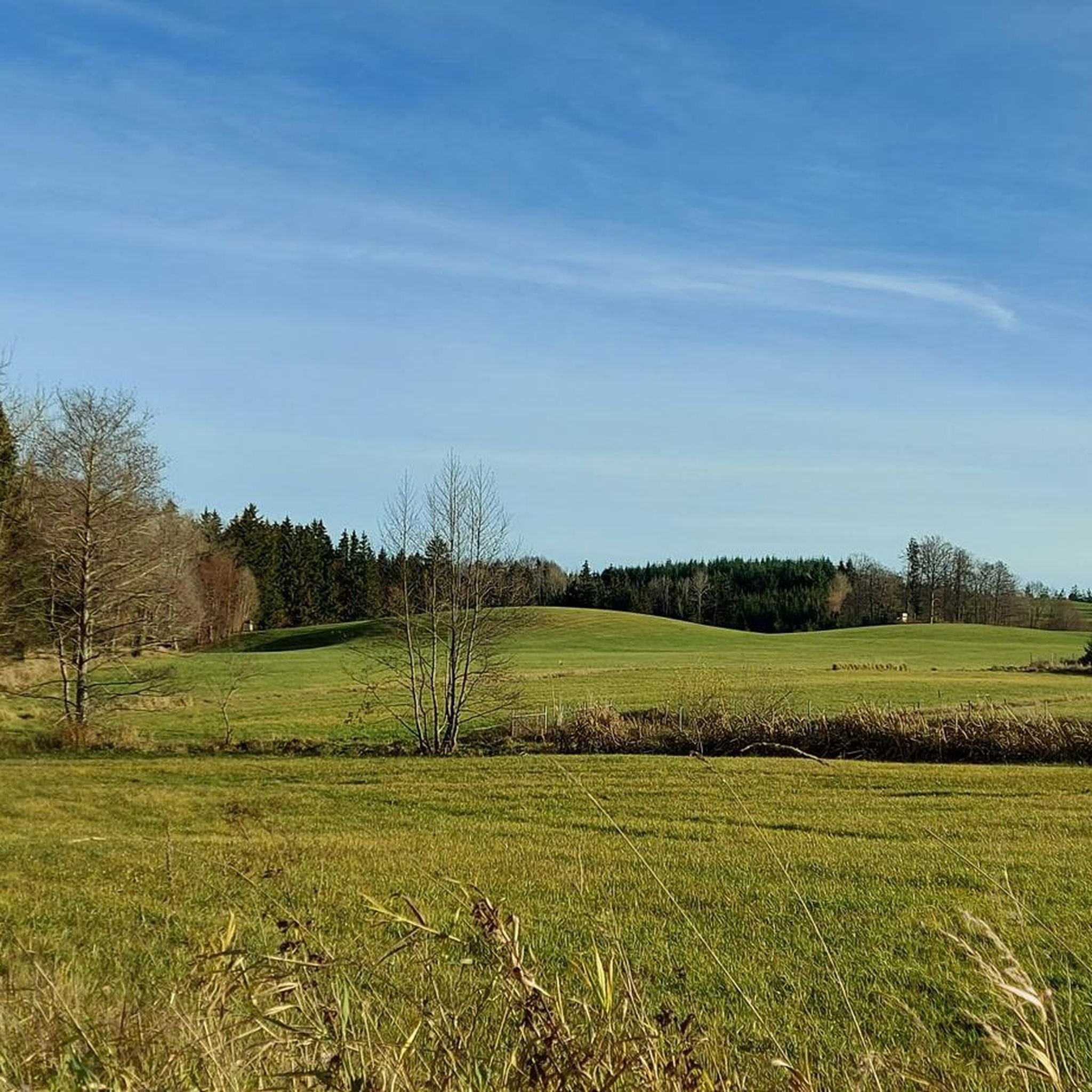
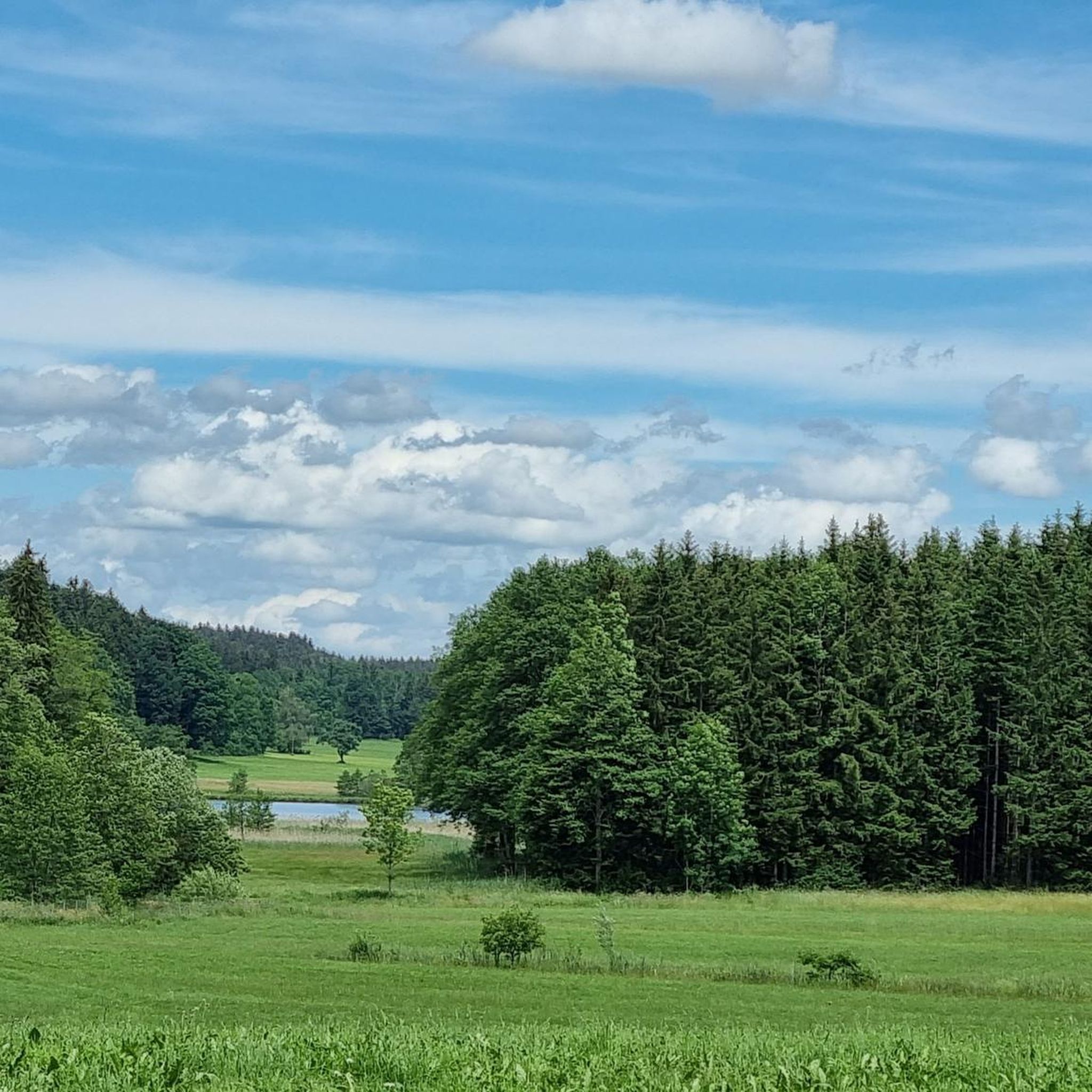
Jogging in Moore Und Weiher Um Brunnen offers a tranquil experience through a unique nature reserve. The region is characterized by its serene moorlands and numerous picturesque ponds, providing a calming atmosphere for runners. Accessible trails with minimal elevation gain make it suitable for various fitness levels, winding through diverse natural backdrops. This area's rich biodiversity and well-maintained paths create an ideal environment for outdoor exercise.
Best jogging routes in Moore Und Weiher Um Brunnen
- The most popular jogging route…
Last updated: July 8, 2026
18
runners
4.08km
00:26
40m
40m
Easy run. Great for any fitness level. Mostly paved surfaces. Suitable for all skill levels.
3
runners
5.25km
00:33
40m
40m
Moderate run. Good fitness required. Mostly paved surfaces. Suitable for all skill levels.

Sign up for free
5.0
(1)
27
runners
7.99km
00:50
80m
80m
Moderate run. Good fitness required. Mostly paved surfaces. Suitable for all skill levels.
5.0
(1)
18
runners
9.37km
00:59
80m
80m
Moderate run. Good fitness required. Mostly paved surfaces. Suitable for all skill levels.
5.0
(3)
7
runners
11.1km
01:11
130m
130m
Moderate run. Good fitness required. Mostly paved surfaces. Suitable for all skill levels.
Get access to more routes and recommendations from other explorers.
Sign up for free
Already have an account?
Our route recommendations are based on thousands of hikes, rides, and runs completed by other people on komoot.
Start today with a free account
Your next adventure awaits.
Login or Signup

Tips from the Community

Impressively large lake with great bird diversity and a quiet shore area!
0
0

Unfortunately the chapel was closed.
0
0
A wonderfully beautiful and quiet large pond where you can swim a few laps.
0
0

A pretty lake with several swimming opportunities. It is part of the Kißlegg Lake District, a group of ponds connected by moorland.
2
0

First mentioned in 1818, the pond was about four times as large until it was partially drained in the mid-19th century; the resulting terrain is still visible. Today, the Holzmühleweiher is a popular fishing spot. A small lido is located on its northwestern shore. Since 1995, the pond has been part of the designated Young Moraine Landscape Conservation Area between Amtzell and Vogt. Due to its poor water quality, the Holzmühleweiher was included in the Tübingen Regional Council's "Action Program for the Rehabilitation of Upper Swabian Lakes." Source: Wikipedia
2
0

Typical Allgäu-Upper Swabia 👍🏻☀️🙏🏻
2
0

dreamy while the dandelions bloom
1
0

Frequently Asked Questions
How many running trails are available in Moore Und Weiher Um Brunnen?
Moore Und Weiher Um Brunnen offers a wide selection of over 350 running routes. These range from easy, short jogs to more moderate and challenging trails, ensuring options for all fitness levels.
What kind of terrain can I expect on the jogging paths in this nature reserve?
The running paths in Moore Und Weiher Um Brunnen are generally characterized by easily accessible trails with minimal elevation gain, making them ideal for jogging. You'll experience a mix of surfaces winding through serene moorlands and alongside picturesque ponds, providing a tranquil and scenic environment.
Are there any circular running routes in the area?
Yes, the region features several excellent circular running routes. For example, the Holzmühleweiher loop from Moore und Weiher um Brunnen is an easy 2.5-mile option, while the Stockweiher Pond – Langwuhr Pond loop from Moore und Weiher um Brunnen offers a moderate 8.4-mile journey around multiple water bodies.
What natural features or landmarks can I see while running?
While running, you'll encounter the distinctive moor landscapes and numerous picturesque ponds that define the region. Notable water features include Holzmühle Pond and Brunner Pond. The area's rich biodiversity and unique wetlands offer a constantly changing natural backdrop.
What do other runners appreciate about the trails in Moore Und Weiher Um Brunnen?
The trails in Moore Und Weiher Um Brunnen are highly rated by the komoot community, with an average score of 4.5 stars from over 190 reviews. Runners often praise the serene natural landscape, the calming atmosphere provided by the ponds, and the well-maintained, easily accessible paths that make for a pleasant outdoor experience.
Are the running routes in Moore Und Weiher Um Brunnen suitable for families or beginners?
Absolutely. Many of the trails are categorized as easy, with minimal elevation gain, making them very suitable for families and beginners. There are 58 easy routes available, providing gentle introductions to running in this beautiful nature reserve.
Can I bring my dog on the running trails?
Yes, dogs are generally welcome on the trails in Moore Und Weiher Um Brunnen. However, as it is a nature reserve, it's important to respect local regulations, which typically require dogs to be kept on a leash to protect the sensitive ecosystem and wildlife.
Where can I find parking for the running routes?
While specific parking locations are not detailed in the guide, the area is known for its accessibility. Look for designated parking areas near the main entry points to the nature reserve, especially around popular starting points for trails like those near Brunner Pond or Holzmühleweiher.
How can I reach Moore Und Weiher Um Brunnen using public transport?
The nature reserve is accessible, but specific public transport routes can vary. It's advisable to check local bus schedules for connections from nearby towns like Kißlegg or Bad Wurzach, as these often provide access points to the surrounding natural areas.
Are there any challenging running routes for experienced runners?
Yes, for more experienced runners seeking a challenge, there are 31 difficult routes available. Additionally, 263 moderate routes offer longer distances and varied terrain, such as the Hare Pond – Langwuhr Pond loop from Wolfegg, which covers 8.8 miles through diverse scenery.
When is the best time of year to go running in Moore Und Weiher Um Brunnen?
The region is beautiful year-round, but spring and autumn often offer the most pleasant conditions for running, with mild temperatures and vibrant natural colors. Summer can also be enjoyable, especially around the ponds, while winter provides a unique, tranquil experience, though some paths might be affected by snow or ice.
What makes the moor landscapes unique for running?
The moor landscapes of Moore Und Weiher Um Brunnen offer a truly unique running experience. These wetlands are home to specialized flora and fauna, providing an interesting and diverse natural backdrop. Running on designated paths through these areas allows for an intimate encounter with this distinctive and ecologically significant ecosystem.
Most popular routes in Moore Und Weiher Um Brunnen
Most popular attractions in Moore Und Weiher Um Brunnen

Get inspired with the komoot mobile app


Explore more
Browse the best Running Trails & Routes in other regions.
