The best MTB trails in Moore Und Weiher Um Brunnen
4.6
(896)
3,012
riders
489
rides
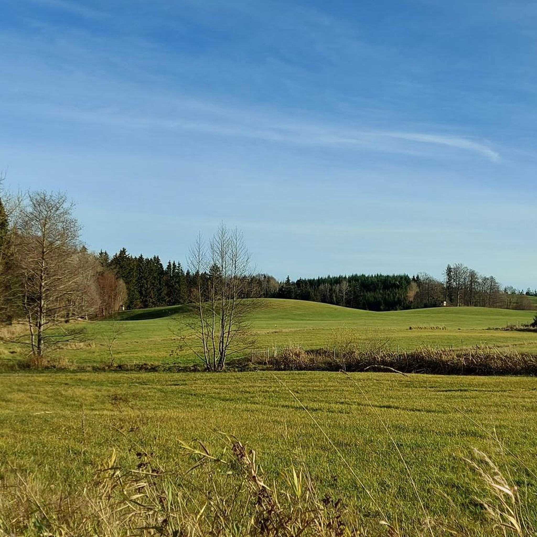
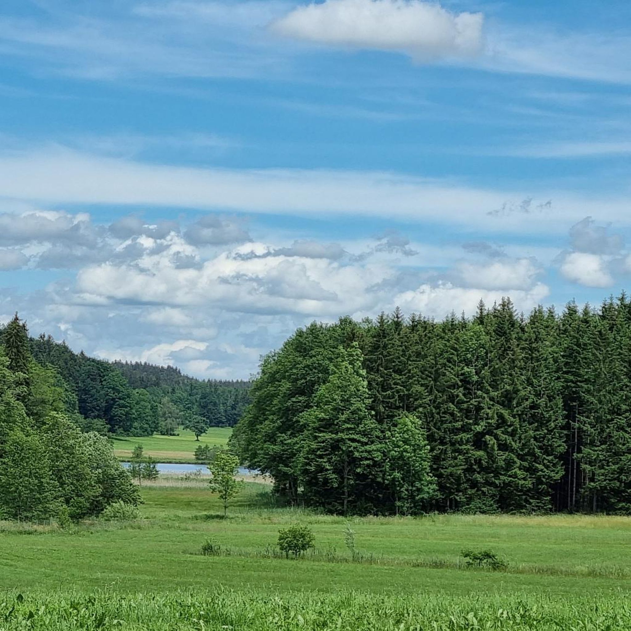
Mountain bike trails in Moore Und Weiher Um Brunnen traverse a landscape characterized by numerous ponds, moors, and wetlands, offering a unique riding experience. The region features gentle elevations and a network of paths that wind through natural parkland. This area provides varied terrain, from lakeside paths to more challenging routes, suitable for different skill levels.
Best mountain bike trails in Moore Und Weiher Um Brunnen
- The most popular mountain bike trail is Brunner Pond – Langwuhrweiher Lakeside Path loop…
Last updated: October 12, 2026
5.0
(1)
10
riders
Easy mountain bike ride. Great for any fitness level. Suitable for all skill levels.
3.0
(1)
8
riders
13.4km
00:48
100m
100m
Easy mountain bike ride. Great for any fitness level. Suitable for all skill levels.

5.0
(4)
14
riders
103km
06:42
980m
980m
Hard mountain bike ride. Very good fitness required. Advanced riding skills necessary.
5.0
(3)
4
riders
25.3km
01:27
210m
210m
Easy mountain bike ride. Great for any fitness level. Suitable for all skill levels.
4.5
(8)
36
riders
43.1km
03:19
480m
480m
Hard mountain bike ride. Good fitness required. Advanced riding skills necessary. Some portions of the route may require you to push your bike.
Get access to more routes and recommendations from other explorers.
Already have an account?
Our route recommendations are based on thousands of hikes, rides, and runs completed by other people on komoot.
Start today with a free account
Your next adventure awaits.

Tips from the Community


It's great that someone took the time and made it available to the public. Thank you 🙏🏼
1
0

A beautiful little lake with a narrow, idyllic road running alongside it. Good asphalt and very little traffic, making it a very pleasant ride.
2
0

The beautiful chapel at 758 meters is very popular with pilgrims, and not just on January 20, St. Bastian's Day. Located in the middle of the forest, the extremely well-maintained chapel is a real eye-catcher.
4
1

The water in the Stockweiher pond may have a mysteriously dark shimmer, but it is very clean. The moor lakes near Immenried have excellent water quality, which is regularly tested and is even beneficial to health. Source: https://www.oberschwaben-tourismus.de/attraktionen/naturbadesee-stockweiher-01f664853d
1
0


nature conservation at the highest level
2
0
Frequently Asked Questions
How many mountain bike trails are there in Moore Und Weiher Um Brunnen?
There are over 500 mountain bike trails available in Moore Und Weiher Um Brunnen, catering to various skill levels. This includes 179 easy routes, 311 moderate routes, and 24 difficult routes.
What do other mountain bikers enjoy the most about mountain biking in Moore Und Weiher Um Brunnen?
The area is highly rated by the komoot community, with an average score of 4.6 stars from over 690 reviews. Riders often praise the unique landscape characterized by numerous ponds, tranquil moors, and forested sections, offering varied terrain from lakeside paths to more demanding long-distance routes.
Are there easy mountain bike trails suitable for beginners?
Yes, Moore Und Weiher Um Brunnen offers 179 easy mountain bike routes. A great option for beginners is the Brunner Pond – Langwuhrweiher Lakeside Path loop from Moore und Weiher um Brunnen, an easy 12.2-mile (19.6 km) trail that provides scenic views along the water's edge.
What about more challenging mountain bike routes for experienced riders?
For experienced riders seeking a challenge, there are 24 difficult mountain bike routes. Consider the Holzmühle Pond – Langwuhrweiher Lakeside Path loop from Zeller See, a demanding 64.3-mile (103.4 km) path featuring significant elevation gain and diverse natural scenery.
Are there any circular mountain bike routes in the area?
Many of the mountain bike routes in Moore Und Weiher Um Brunnen are circular. An example is the Kisslegg Castle – Hare Pond loop from Eintürnen, a 25.1-mile (40.4 km) trail that leads through varied terrain and historical points of interest.
What natural attractions can I see while mountain biking in Moore Und Weiher Um Brunnen?
The region is known for its beautiful ponds and moors. You can encounter highlights such as Holzmühle Pond, Brunner Pond, and the Moors and ponds on the Holzmühlenweg. Many routes offer views of these tranquil water bodies and wetlands.
Are there any historical or cultural landmarks along the mountain bike routes?
Yes, some routes incorporate historical points of interest. For instance, the Kisslegg Castle – Hare Pond loop from Eintürnen passes by Kisslegg Castle, offering a blend of natural beauty and cultural heritage.
What is the best time of year to go mountain biking in Moore Und Weiher Um Brunnen?
The spring, summer, and early autumn months (April to October) generally offer the most favorable conditions for mountain biking in Moore Und Weiher Um Brunnen, with pleasant temperatures and drier trails. The landscape is particularly vibrant during these seasons.
Are there family-friendly mountain bike trails in Moore Und Weiher Um Brunnen?
Many of the easy and moderate routes are suitable for families, especially those that follow lakeside paths or have minimal elevation gain. The region's gentle elevations and well-maintained paths through natural parkland make it accessible for various ages and skill levels.
Where can I find parking for mountain bike trails in Moore Und Weiher Um Brunnen?
Specific parking information varies by trailhead. Many popular starting points for routes, especially near villages or larger ponds, often have designated parking areas. It's advisable to check the individual route details on komoot for specific parking recommendations before you go.
Can I find mountain bike trails with scenic views?
Absolutely. The region's defining feature is its landscape of ponds, moors, and wetlands, which provide numerous scenic vistas. Routes like the Brunner Pond – Langwuhrweiher Lakeside Path loop from Moore und Weiher um Brunnen offer continuous scenic views along the water's edge.
Is mountain biking possible in Moore Und Weiher Um Brunnen during winter?
While some trails may be accessible, winter conditions can make mountain biking challenging due to snow, ice, or muddy paths. It's recommended to check local weather forecasts and trail conditions before planning a winter ride. Some paths might be better suited for winter hiking or cross-country skiing if snow cover is significant.
Most popular routes in Moore Und Weiher Um Brunnen
Most popular attractions in Moore Und Weiher Um Brunnen

Get inspired with the komoot mobile app


Explore more
Browse the best MTB trails in other regions.
