The best MTB trails in Truper Blänken
4.7
(232)
1,131
riders
148
rides
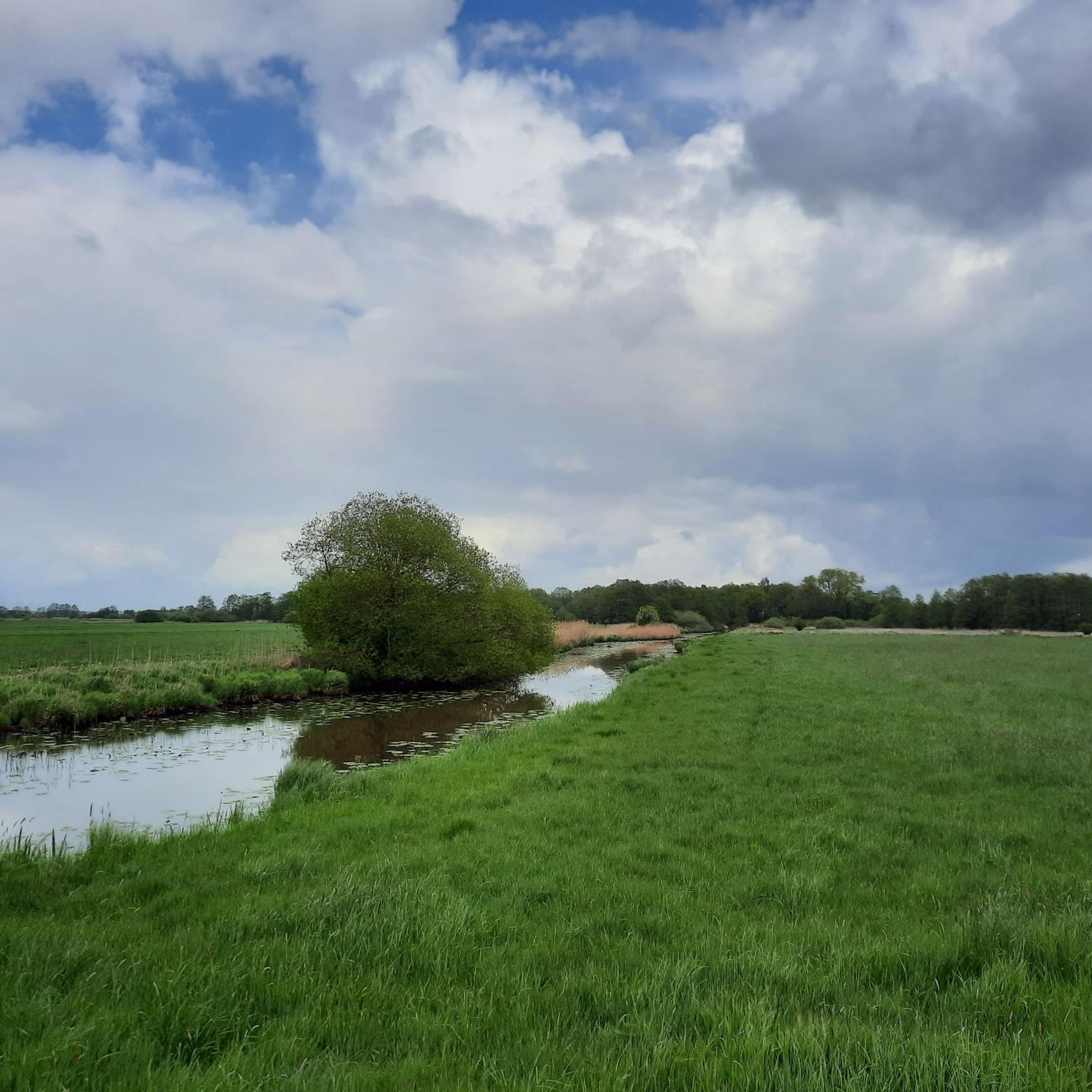
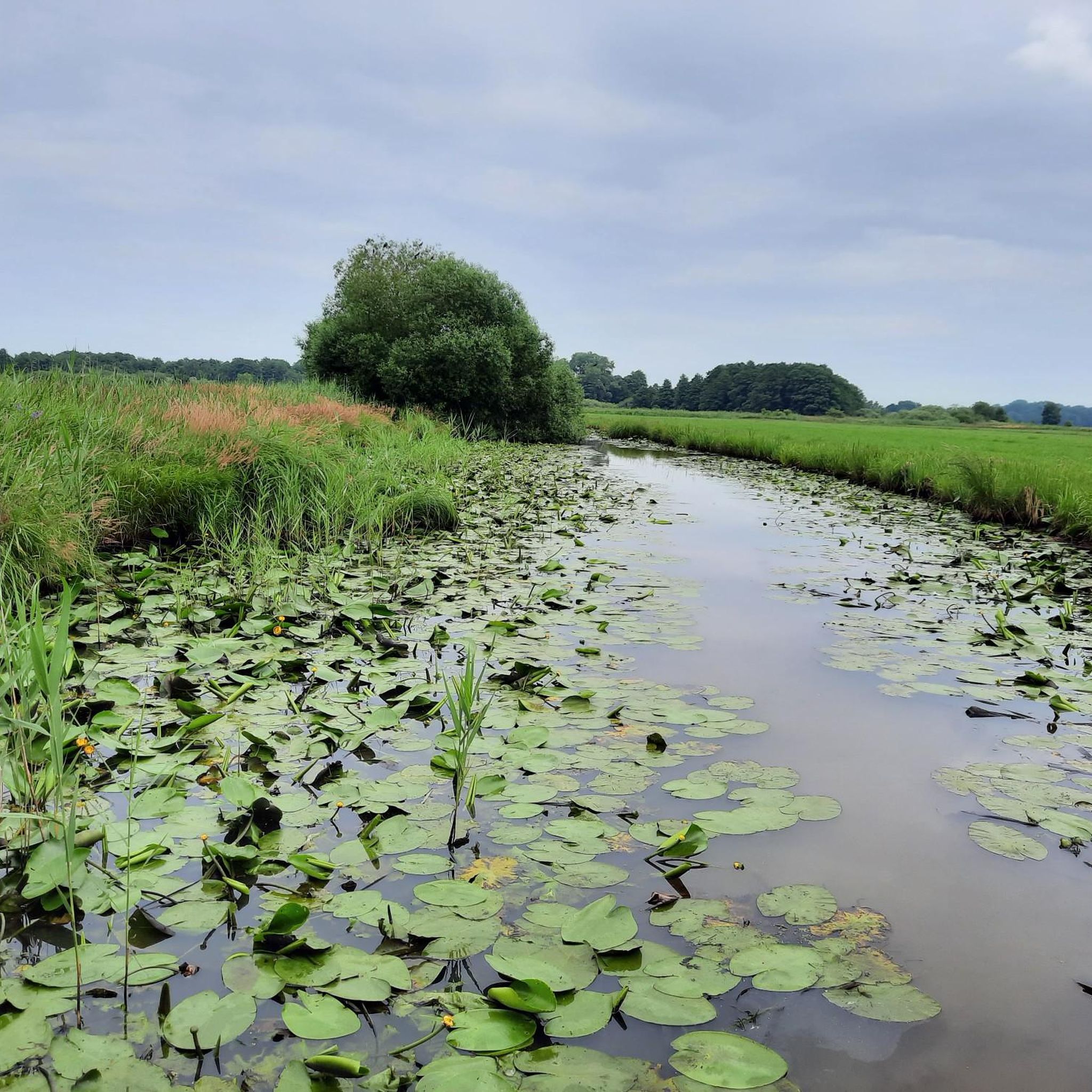
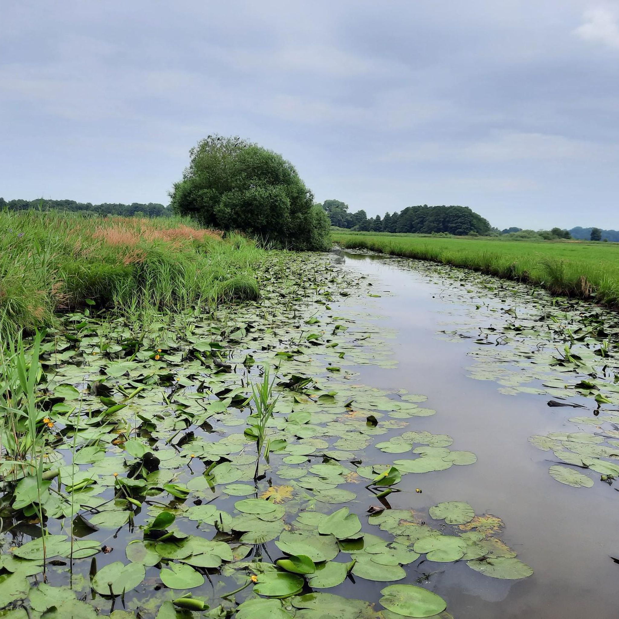
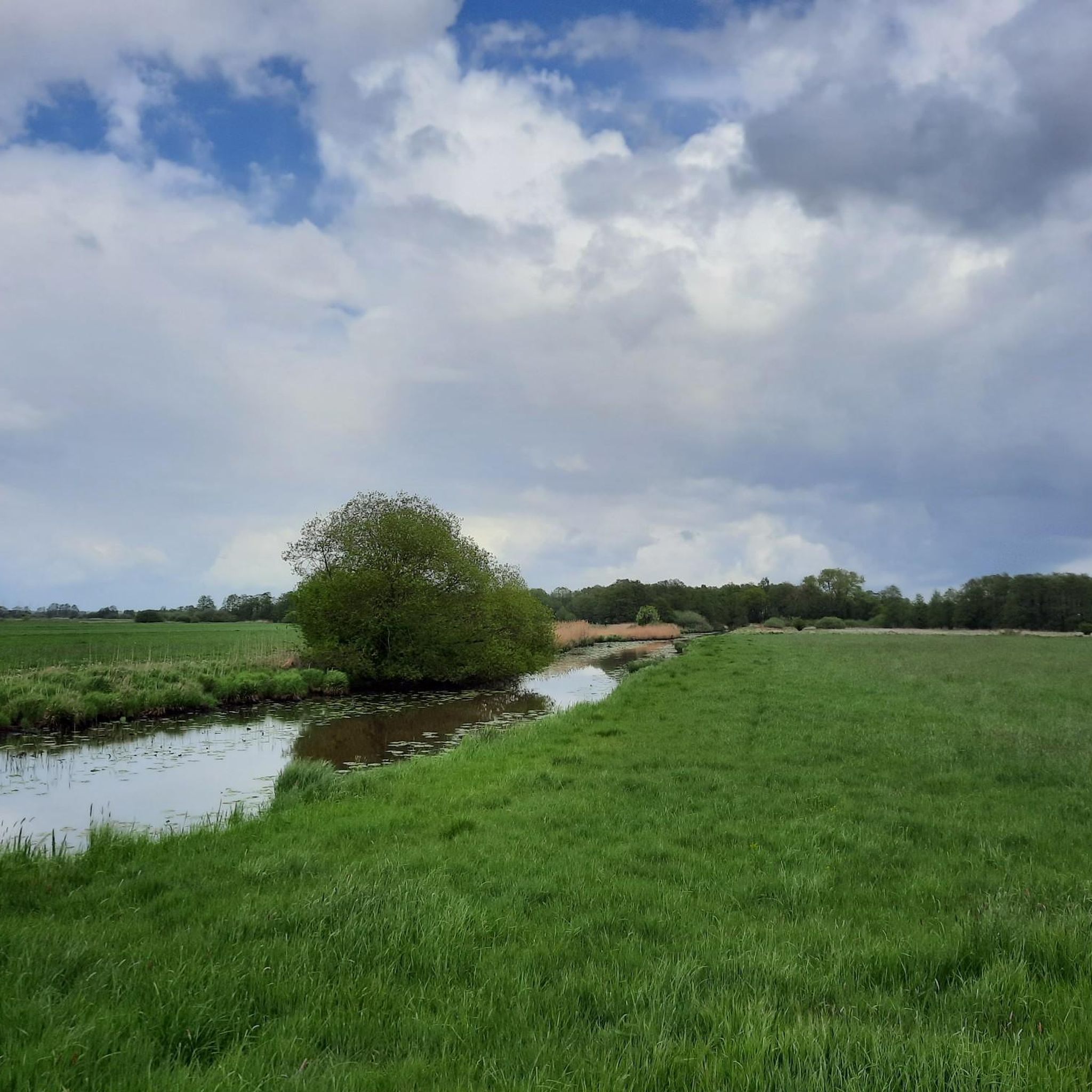
Mountain bike trails in Truper Blänken traverse a landscape characterized by flat terrain, river systems, and expansive meadows. The region, situated around Lilienthal, offers routes that follow the Wümme River and its various arms, providing a generally level riding experience. Truper Blänken mountain bike trails feature minimal elevation changes, making them suitable for riders seeking less strenuous routes. The area's composition of riverine paths and open fields defines the riding environment.
Best mountain bike trails in Truper Blänken
- The most…
Last updated: July 1, 2026
5.0
(1)
7
riders
31.5km
01:56
30m
30m
Moderate mountain bike ride. Great for any fitness level. Advanced riding skills necessary.
4.5
(2)
9
riders
40.6km
02:12
50m
50m
Moderate mountain bike ride. Good fitness required. Suitable for all skill levels.

Sign up for free
3
riders
59.2km
03:40
100m
100m
Moderate mountain bike ride. Good fitness required. Advanced riding skills necessary.
1
riders
25.8km
01:33
30m
30m
Moderate mountain bike ride. Great for any fitness level. Advanced riding skills necessary.
5.0
(1)
3
riders
17.2km
00:58
20m
20m
Easy mountain bike ride. Great for any fitness level. Suitable for all skill levels.
Get access to more routes and recommendations from other explorers.
Sign up for free
Already have an account?
Our route recommendations are based on thousands of hikes, rides, and runs completed by other people on komoot.
Start today with a free account
Your next adventure awaits.
Login or Signup

Tips from the Community

It's always lovely to cycle through nature and observe the animals, whether it's spring, summer, autumn or winter.
0
0

One of the many ways to cross the Wümme. It's a bit off the beaten track and therefore usually a quiet spot for a break.
1
0
Wümme always beautiful in the morning
0
0

When working in the fields you can sometimes get dusty
0
0

Here you can walk along the river and enjoy nature.
0
0

Beautiful group of figures "In Conversation".
0
0

Frequently Asked Questions
How many mountain bike trails are there in Truper Blänken?
Truper Blänken offers a wide selection of mountain bike trails, with over 150 routes available. These trails primarily feature flat terrain, river systems, and expansive meadows, making them suitable for various skill levels.
What is the typical difficulty level of mountain bike trails in Truper Blänken?
The mountain bike trails in Truper Blänken are generally considered easy to moderate. Out of over 150 routes, approximately 49 are easy, 100 are moderate, and only a few are rated as difficult. This makes the area ideal for riders seeking less strenuous routes with minimal elevation changes.
Are there any circular mountain bike routes in Truper Blänken?
Yes, many of the routes in Truper Blänken are designed as loops, allowing you to start and end at the same point. For example, the Wümme River – Hilly Singletrack Trail loop from Lilienthal is a moderate 25.5 km circular route that offers a mix of river paths and occasional singletrack sections.
What kind of terrain can I expect on the mountain bike trails in Truper Blänken?
The terrain in Truper Blänken is characterized by flat landscapes, river systems, and open meadows. You'll primarily ride along riverine paths, through open fields, and occasionally encounter singletrack sections. The routes follow the Wümme River and its various arms, providing a generally level riding experience.
What do other mountain bikers enjoy most about Truper Blänken?
The area is highly rated by the komoot community, with an average score of 4.6 stars from nearly 250 reviews. Mountain bikers often praise the scenic river paths, the peaceful open meadows, and the accessibility of the routes for various ability levels.
Are there any beginner-friendly mountain bike routes in Truper Blänken?
Absolutely. Truper Blänken has nearly 50 easy-rated mountain bike trails, perfect for beginners or those looking for a relaxed ride. An example is the Sodenstich loop from Lilienthal, an easy 17.1 km route with minimal elevation.
Are there any advanced mountain bike trails for experienced riders?
While the region is predominantly flat and offers easy to moderate routes, there are a few trails rated as difficult for more experienced riders. These routes might feature more technical singletrack sections or slightly longer distances, though significant elevation changes are rare in this area.
What are the typical distances and durations for mountain bike trails in Truper Blänken?
Trail distances vary, but many popular routes range from 17 km to over 50 km. For instance, the Sodenstich loop from Lilienthal is 17.1 km and takes about 1 hour to complete, while longer routes like the Wümme River – Hilly Singletrack Trail loop from Lilienthal cover 25.5 km in around 1 hour 30 minutes.
What natural features can I expect to see while mountain biking in Truper Blänken?
The region is defined by its riverine landscape, so you'll frequently encounter the Wümme River and its various arms. Expansive meadows and open fields are also prominent, offering wide views and a sense of tranquility. The area's flat topography means you'll experience a consistent riding surface amidst these natural settings.
Is Truper Blänken suitable for family-friendly mountain biking?
Yes, Truper Blänken is very suitable for family-friendly mountain biking due to its predominantly flat terrain and numerous easy-rated routes. The minimal elevation changes and scenic river paths make it an enjoyable experience for riders of all ages and skill levels.
What is the best time of year for mountain biking in Truper Blänken?
Given the flat terrain and river systems, mountain biking in Truper Blänken is generally pleasant from spring through autumn. Spring offers blooming meadows, while summer provides warm weather for extended rides. Autumn brings colorful foliage, and the flat paths are less affected by snow or ice than hilly regions, potentially allowing for winter riding on clear days.
Are there any specific highlights or points of interest along the mountain bike trails?
While the guide data doesn't specify individual highlights, the routes often follow the Wümme River, offering picturesque views of the waterway and surrounding natural landscapes. The Single trail in the Surheide – Otto Modersohn Museum loop from Lilienthal, for example, passes by the Otto Modersohn Museum, offering a cultural point of interest.
Most popular routes in Truper Blänken

Get inspired with the komoot mobile app


Explore more
Browse the best MTB trails in other regions.
