The best walks and hikes in Truper Blänken
4.5
(4620)
27,785
hikers
1,212
hikes
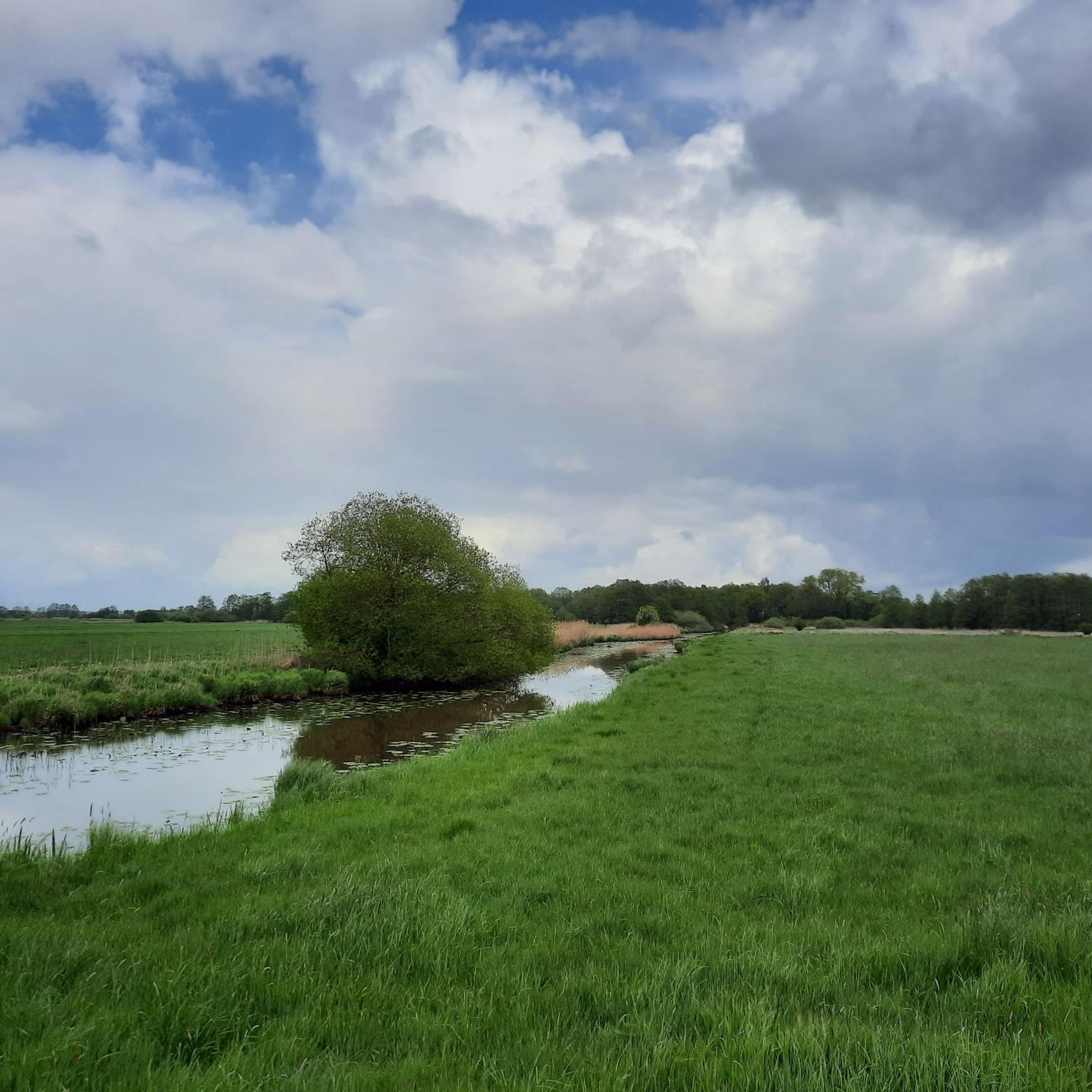
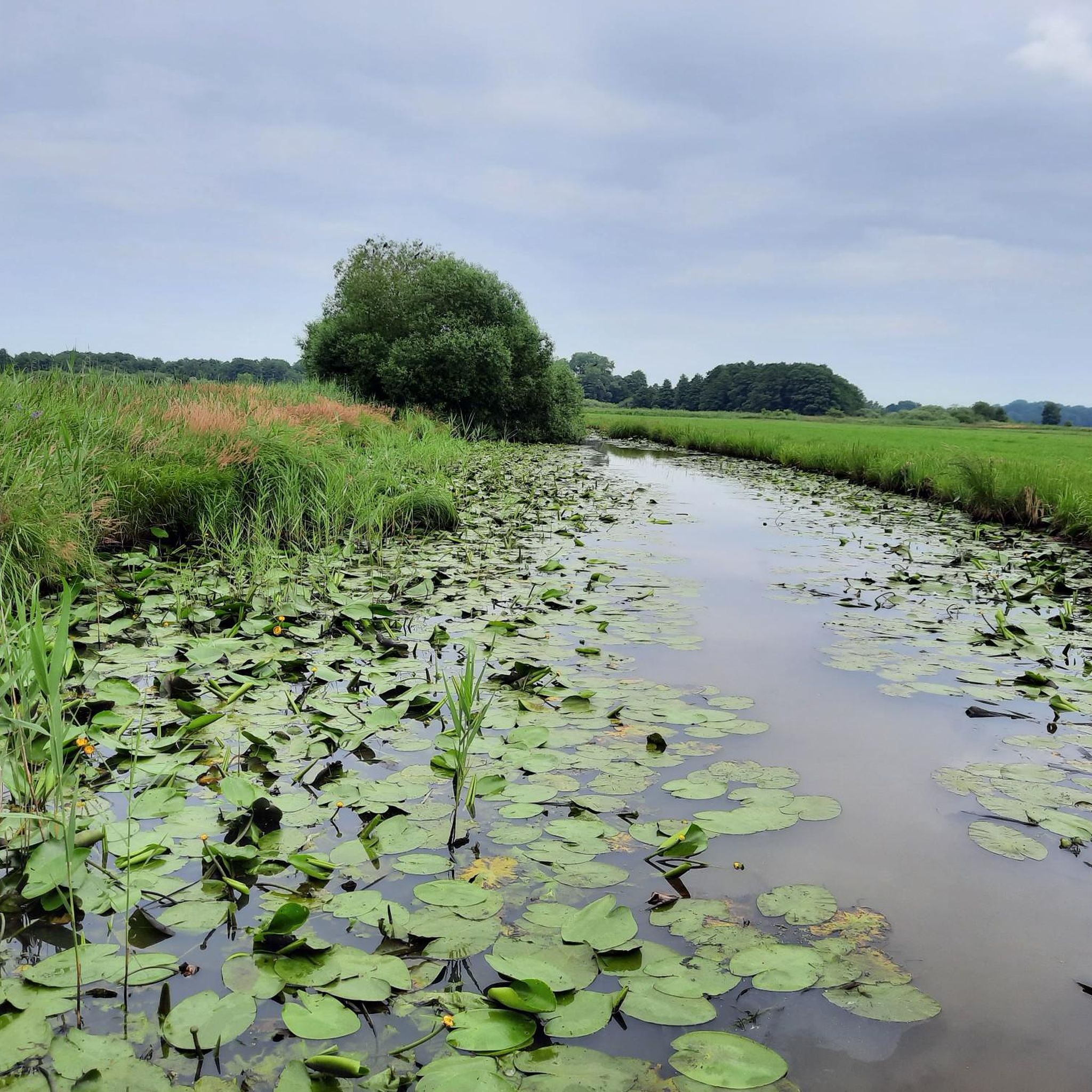
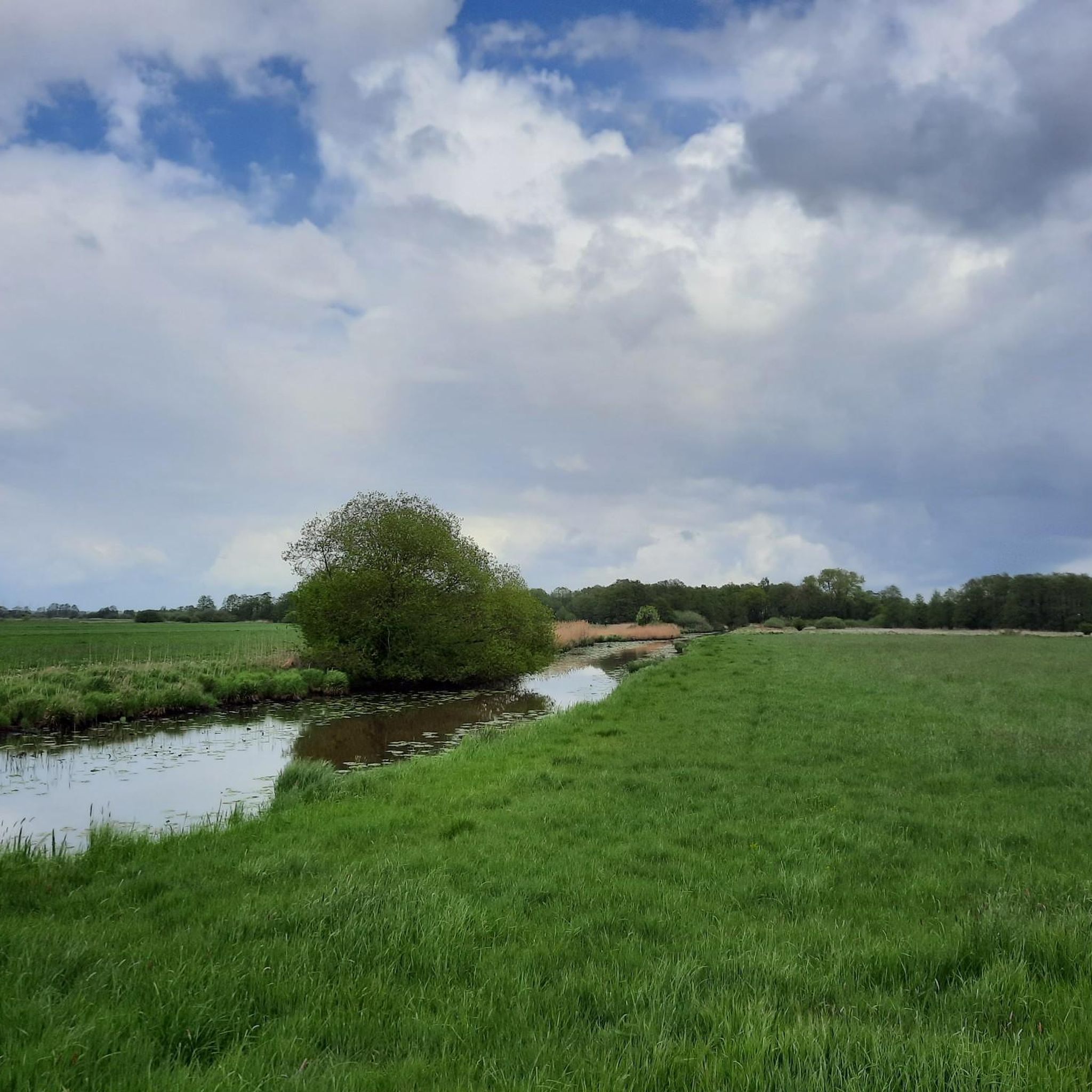
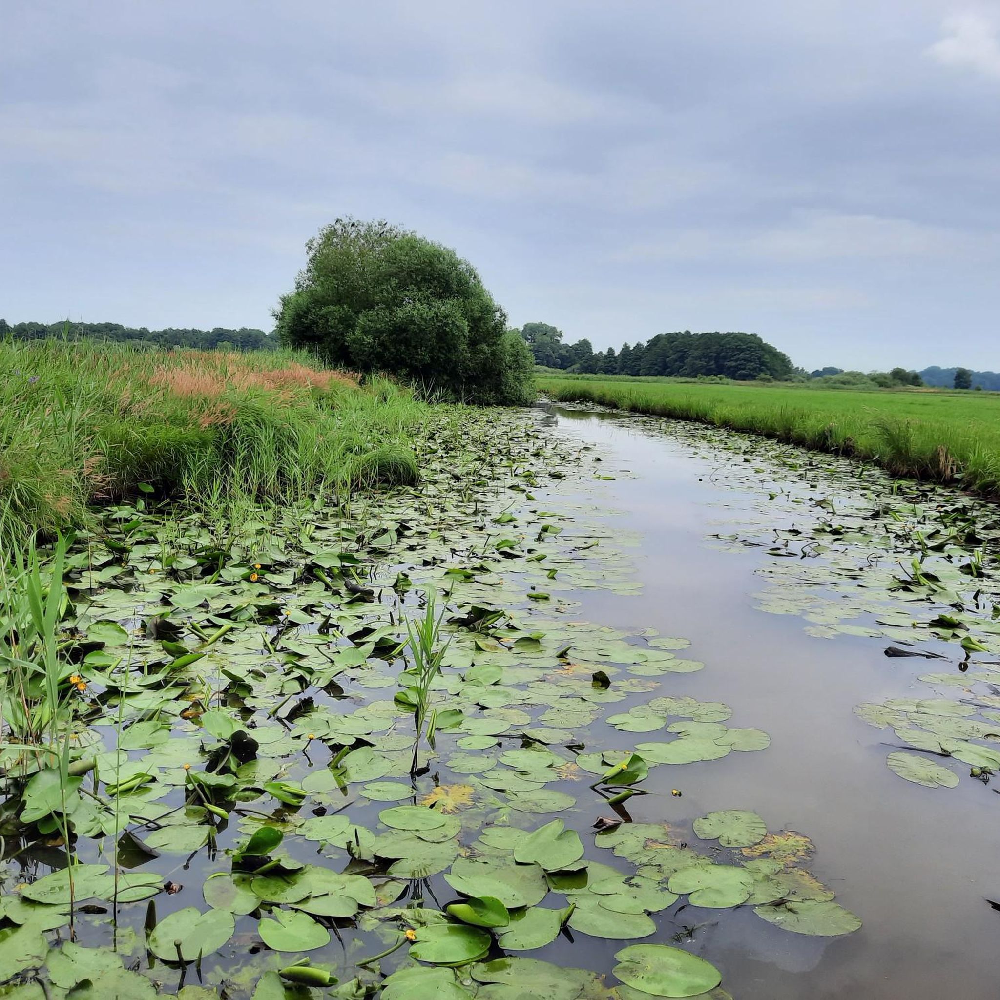
Hiking in Truper Blänken offers trails through a landscape characterized by its fleet systems, river views, and open fields. The area features a network of paths suitable for exploring the local natural environment. These hiking trails in Truper Blänken primarily traverse flat terrain, often alongside waterways and through agricultural areas.
Best hiking trails in Truper Blänken
- The most popular hiking route is Fleet Landscape loop from Frankenburg, an easy 2.8 miles (4.6 km) trail that takes 1 hour 9…
Last updated: July 2, 2026
4.1
(11)
41
hikers
4.56km
01:09
0m
0m
Easy hike. Great for any fitness level. Easily-accessible paths. Suitable for all skill levels.
4.9
(13)
57
hikers
Moderate hike. Good fitness required. Easily-accessible paths. Suitable for all skill levels.

Sign up for free
4.7
(27)
70
hikers
Moderate hike. Good fitness required. Easily-accessible paths. Suitable for all skill levels.
4.1
(10)
39
hikers
5.13km
01:17
10m
10m
Easy hike. Great for any fitness level. Easily-accessible paths. Suitable for all skill levels.
5.0
(2)
17
hikers
Easy hike. Great for any fitness level. Easily-accessible paths. Suitable for all skill levels.
Get access to more routes and recommendations from other explorers.
Sign up for free
Already have an account?
Our route recommendations are based on thousands of hikes, rides, and runs completed by other people on komoot.
Start today with a free account
Your next adventure awaits.
Login or Signup

Tips from the Community

Obviously a water hiking highlight, but the Wümme is so low in places that you could perhaps walk there.
0
0

Nice to ride the bike!
4
0

The bridge monument "Jan Reiners Bridge" is located on the Jan Reiners cycle path and commemorates the historic railway bridge that once crossed the Wümme. The Jan Reiners Railway, a narrow-gauge railway, ran between Bremen and Tarmstedt from 1900 to 1956. Part of the original bridge has been preserved as a monument and is now a popular resting place for cyclists and hikers on the cycle path. The original bridge had to make way for the construction of a bypass in 2008. However, a fragment of the bridge was erected as a monument on the initiative of the Borgfeld Citizens' Association to commemorate the historical significance of the Jan Reiners Railway.
1
0
The Wümme is a 121-kilometer-long river in northern Germany that flows through the federal states of Lower Saxony and Bremen. Its source is in the Lüneburg Heath, and it eventually flows into the Lesum, which in turn flows into the Weser. The Wümme partially marks the border between Lower Saxony and Bremen and is the main tributary of the Lesum. Together with the Lesum, the Wümme reaches a total length of 131.2 kilometers. The Wümme flows through several towns and villages, including Lauenbrück, Scheeßel, Rotenburg an der Wümme, Ottersberg, Fischerhude, Lilienthal and Bremen. It is known for its clean water quality and the picturesque landscapes along its course, which are characterized by wide meadows and floodplains.
3
0

Telescopeium Lilienthal Observatory
3
0

Small idyllic river, flows into the Lesum, then further into the Weser and North Sea.
4
0

Nice information board about bridge construction.
2
0
Frequently Asked Questions
How many hiking trails are available in Truper Blänken?
Truper Blänken offers a wide selection of hiking routes, with over 1200 trails to explore. The majority of these, more than 900, are classified as easy, making them accessible for most hikers. Additionally, there are around 300 moderate trails and about 30 more challenging routes for experienced adventurers.
What is the typical terrain like for hiking in Truper Blänken?
Hiking in Truper Blänken is characterized by its predominantly flat terrain. Trails often follow waterways, traverse open fields, and pass through agricultural areas. The elevation gain on most routes is minimal, making for generally easy walks through a landscape defined by its fleet systems and river views.
Are there many circular hiking routes in Truper Blänken?
Yes, many of the hiking trails in Truper Blänken are designed as circular routes, allowing you to start and end at the same point. Popular examples include the Fleet Landscape loop from Frankenburg, which offers views of local waterways, and the Inn at the Lock – Jan Reiners Bridge Memorial loop from Untere Wümme, which follows the Wümme River.
Are the hiking trails in Truper Blänken suitable for families with children?
Given the predominantly flat and easy nature of many trails, Truper Blänken is well-suited for family outings. Shorter, easy loops like the Fleet Landscape loop from Frankenburg are ideal for walks with children, offering manageable distances and gentle paths.
What kind of natural features or landmarks can I expect to see while hiking?
The hiking trails in Truper Blänken primarily showcase the region's unique fleet systems, river landscapes, and expansive open fields. You'll encounter scenic views along waterways and agricultural areas. Some routes, like the Inn at the Lock – Jan Reiners Bridge Memorial loop from Untere Wümme, pass by historic points of interest such as the Jan Reiners Bridge Memorial.
Is Truper Blänken a good place for dog walking?
Yes, Truper Blänken is generally suitable for dog walking, with many trails traversing open fields and alongside waterways. It's always recommended to keep dogs on a leash, especially in nature reserve areas or near agricultural land, to protect local wildlife and livestock.
What do other hikers enjoy most about hiking in Truper Blänken?
The area is highly rated by the komoot community, with an average score of 4.5 stars from over 4200 reviews. Hikers often praise the peaceful, flat routes perfect for relaxed strolls, the scenic views of the waterways and open fields, and the accessibility of the trails for various fitness levels.
Are there any easy hiking routes for beginners in Truper Blänken?
Absolutely. Truper Blänken is an excellent destination for beginners, with over 900 easy routes. A great option is the Fleet Landscape loop from Lilienthal, which is an easy 3.2-mile (5.1 km) trail, perfect for a gentle introduction to the area's scenery.
How long do typical hikes in Truper Blänken take?
Hike durations vary depending on the route chosen. For example, the easy Fleet Landscape loop from Frankenburg typically takes just over an hour to complete. Longer, moderate routes like the Bench with a view of the field – Melkhus Lütjental loop from Lilienthal might take around 2 hours.
Are there options for longer, more moderate hikes in Truper Blänken?
Yes, for those looking for a longer outing, there are nearly 300 moderate trails. The Inn at the Lock – Jan Reiners Bridge Memorial loop from Untere Wümme is a moderate 7.0-mile (11.2 km) path that offers a more extended experience along the Wümme River and past a historic bridge.
Can I find trails that offer views of the Wümme River?
Yes, several trails in Truper Blänken provide views of the Wümme River. The Inn at the Lock – Jan Reiners Bridge Memorial loop from Untere Wümme is a prime example, featuring sections that run directly alongside the river and pass by a significant memorial.
Are there any trails that pass by local points of interest or cafes?
Some routes are designed to pass by local points of interest. For instance, the Bench with a view of the field – Melkhus Lütjental loop from Lilienthal leads through open fields and past local spots like Melkhus Lütjental, which can be a pleasant stop during your hike.
Most popular routes in Truper Blänken

Get inspired with the komoot mobile app


Explore more
Browse the best Hikes in other regions.
