The best MTB trails in Schwarztonnensand
4.2
(25)
177
riders
31
rides
Mountain bike trails in Schwarztonnensand are primarily found in the surrounding Lower Elbe river region, a landscape characterized by flat terrain, river dikes, and small forested areas. While Schwarztonnensand itself is a protected nature reserve and not accessible for mountain biking, the nearby areas offer routes along the Elbe and through the marshlands. The elevation gains on these trails are minimal, reflecting the riverine environment.
Best mountain bike trails in Schwarztonnensand
- The most popular mountain bike trail is Fort Grauerort…
Last updated: June 26, 2026
4.0
(2)
11
riders
Moderate mountain bike ride. Good fitness required. Suitable for all skill levels.
4
riders
Easy mountain bike ride. Great for any fitness level. Suitable for all skill levels.

Sign up for free
5
riders
18km
01:00
10m
10m
Easy mountain bike ride. Great for any fitness level. Suitable for all skill levels.
4.5
(4)
16
riders
Easy mountain bike ride. Great for any fitness level. Suitable for all skill levels.
4.5
(2)
10
riders
Moderate mountain bike ride. Good fitness required. Suitable for all skill levels.
Get access to more routes and recommendations from other explorers.
Sign up for free
Already have an account?
Our route recommendations are based on thousands of hikes, rides, and runs completed by other people on komoot.
Start today with a free account
Your next adventure awaits.
Login or Signup

Tips from the Community

The Lühe pier in the Altes Land region is a popular destination on the Elbe River. It is home to the Lühe-Schulau ferry, which connects Lower Saxony with Schleswig-Holstein (Wedel). The pier is a central meeting point for cyclists, hikers, tourists, and ship enthusiasts. The surrounding area is characterized by the Altes Land orchards and is located near Hamburg.
1
0
We checked out the bike park in Siebenhöfen, but it seems nobody has been there for a while, it's very overgrown. Bikepark Altes Land is located on a recreational area in Grünendeich. The facility was opened in June 2018 and serves as a skill and action course for bicycle and cross-bike riders. The bike park is located near the Elbe dike, behind the Lühesand Grill snack bar. The construction was a joint project of the municipality of Hollern-Twielenfleth and the company Turbomatik. A great cycling and hiking route runs along here.
0
0

Nice view of the sea and with company of sheep in Summer
0
0
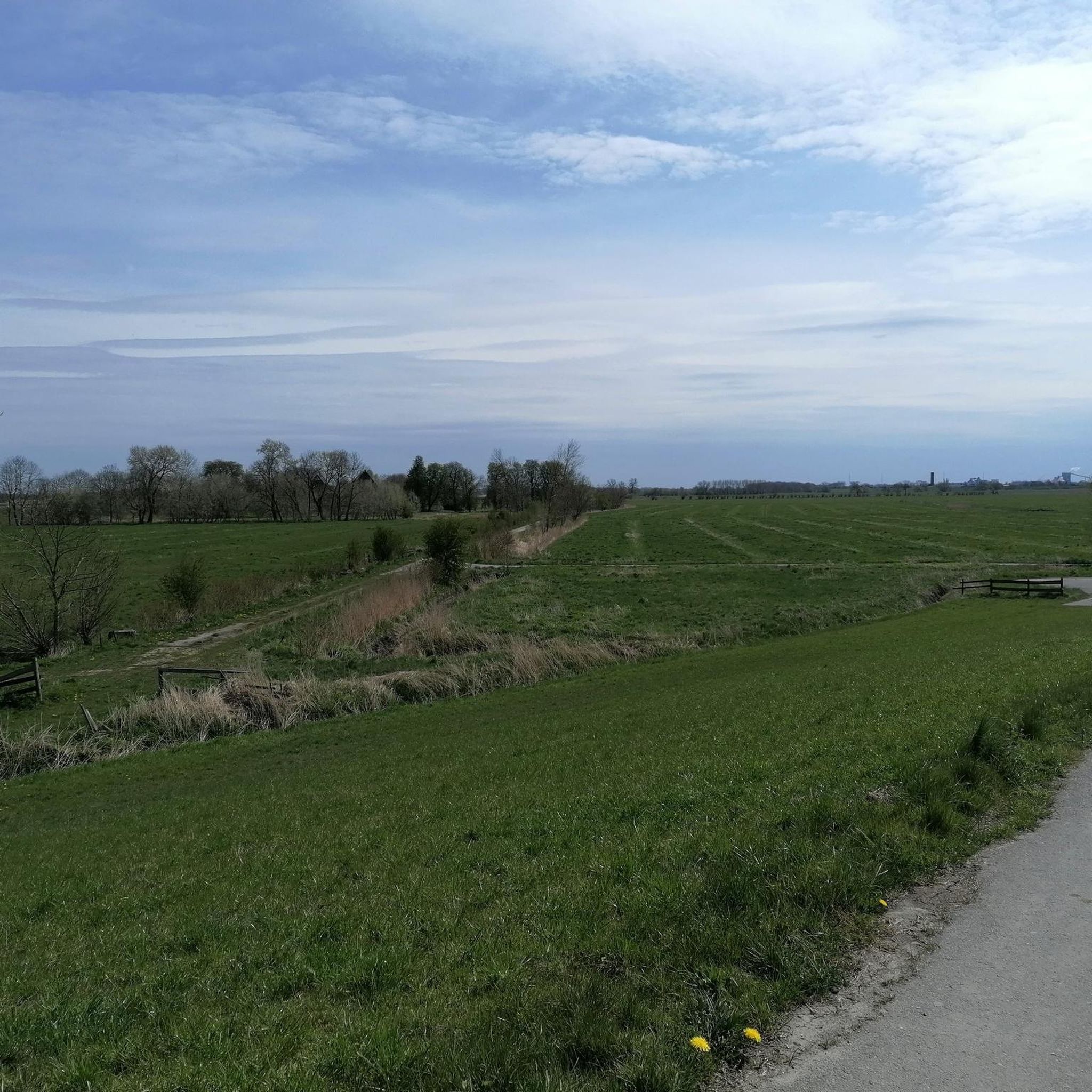
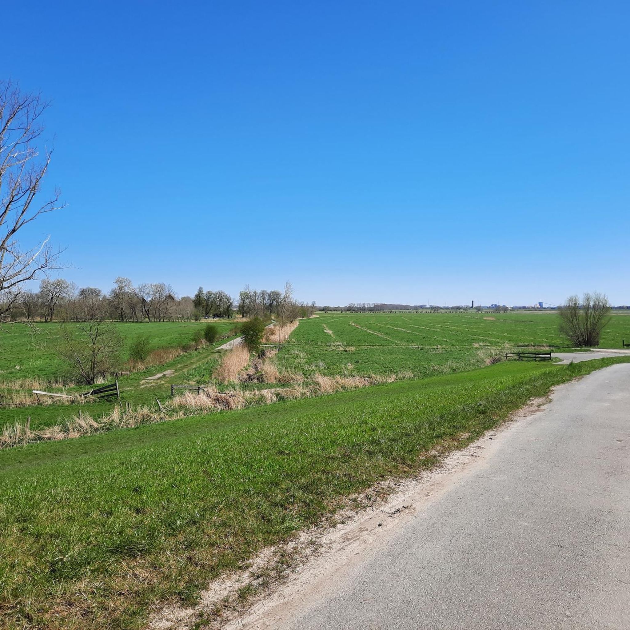
A great bike and hiking trail runs along here amidst beautiful nature.
2
1
A great bike and hiking route leads along here amidst beautiful nature.
2
0
A great cycling and hiking route leads along here in the midst of beautiful nature. A visit is highly recommended.
1
0
Great views of the Elbe 1 and Elbe 2 masts can be enjoyed from a fantastic bike tour along the motorway amidst the apple orchards.
2
0
Elbe Crossing 2 is a 380 kV three-phase overhead power line built between 1976 and 1978 along the Elbe River. It was commissioned in 1978. The line connects the Wilster substation with the Dollern substation. Designed for four three-phase circuits with an operating voltage of 380 kV, this crossing complements the Elbe Crossing, which was commissioned in 1962. TenneT TSO operates the Elbe Crossing.
3
0
Frequently Asked Questions
Can I mountain bike directly in Schwarztonnensand?
No, Schwarztonnensand is a strictly protected nature reserve and is not accessible for mountain biking or general recreational activities. It serves as an important habitat and resting place for numerous bird species and boasts unique plant diversity. Access is only permitted with exceptional authorization.
Where can I mountain bike if Schwarztonnensand itself is protected?
While Schwarztonnensand is protected, the surrounding Lower Elbe river region offers a network of mountain bike trails. These routes are characterized by flat terrain, river dikes, and small forested areas, providing options for various skill levels.
What kind of terrain can I expect on mountain bike trails near Schwarztonnensand?
The terrain in the Lower Elbe region is predominantly flat, defined by river dikes, marshlands, and small forested sections along the Elbe. You can expect minimal elevation gains, making for a generally relaxed riding experience.
How difficult are the mountain bike trails in the Lower Elbe region?
The mountain bike trails in the Lower Elbe region are primarily easy to moderate. Out of 31 available routes, 22 are classified as easy and 9 as moderate, with no difficult trails. This makes the area suitable for a wide range of riders, including beginners.
Are there any long-distance mountain bike routes in the area?
Yes, there are longer routes available. For example, the Fort Grauerort – Lühe-Anleger Ferry Terminal loop from Barnkrug, Am Elbdeich (Ost) is a moderate 34.8-mile (56.0 km) trail that follows the Elbe dikes and passes through rural landscapes.
Are there easy mountain bike trails suitable for beginners?
Absolutely. Many trails in the Lower Elbe region are easy and perfect for beginners or those looking for a relaxed ride. An example is the Schwarzer Berg Forest – Stadermoor loop from Barnkrug, Am Elbdeich (Ost), an easy 16.7-mile (26.9 km) path exploring wooded and open terrain.
Are there any circular mountain bike routes available?
Yes, many routes in the area are designed as loops. For instance, the Kollmar Harbour Beach – Glückstadt Harbor loop from Neuendorf, Lühnhüserdeich is a 17.2-mile (27.8 km) circular trail leading through the Elbe marshlands.
What do other mountain bikers enjoy most about mountain biking in the Lower Elbe region?
The trails in the Lower Elbe region are highly rated by the komoot community, with an average score of 4.2 stars from over 25 reviews. Riders often praise the relaxed atmosphere, the scenic views along the Elbe dikes, and the accessibility of the routes for various skill levels.
Is public transport available to access the mountain bike trails?
Access to the trails often involves reaching starting points in towns and villages along the Lower Elbe. While specific public transport options vary, regional buses and local train services connect some of these areas. It's advisable to check local transport schedules for the specific starting point of your chosen route.
What is the best time of year to go mountain biking in the Lower Elbe region?
The spring, summer, and early autumn months generally offer the most pleasant conditions for mountain biking in the Lower Elbe region. During these times, the weather is typically mild, and the trails are dry. Always check local weather forecasts before heading out.
Are there any family-friendly mountain bike trails in the area?
Given the predominantly easy to moderate difficulty of the trails and the flat terrain, many routes in the Lower Elbe region are suitable for families. The absence of difficult climbs or technical descents makes it a good area for rides with children or less experienced riders.
Can I bring my dog on the mountain bike trails?
Generally, dogs are permitted on public trails in the Lower Elbe region, but they should always be kept on a leash, especially when passing through agricultural areas, near livestock, or in designated nature protection zones. Always be mindful of local regulations and other trail users.
Are there any cafes or places to eat near the mountain bike routes?
Yes, the routes often pass through or near small towns and villages along the Elbe, where you can find local cafes, restaurants, and pubs. These establishments offer opportunities to refuel and relax during or after your ride.
Most popular routes in Schwarztonnensand

Get inspired with the komoot mobile app


Explore more
Browse the best MTB trails in other regions.
