Attractions and Places To See in Entlastungspolder Holter Hammrich - Top 6
Best attractions and places to see in Entlastungspolder Holter Hammrich, located in the Leer district of East Frisia, Germany, is primarily a flood relief polder. This area has become a significant site for nature conservation, featuring a bird sanctuary that provides habitat for over 60 breeding bird species. The polder's diverse landscape includes grasslands, shallow water zones, and dikes, offering opportunities for recreation. It is bordered by the Leda river, Hauptfehnkanal, and Holter Sieltief.
Best attractions and places to see…
Last updated: July 5, 2026
Bird Sanctuary
Highlight (Segment) • Natural
Translated by Google •
Tip by

Holter Hammrich Relief Polde
Highlight (Segment) • Natural
Translated by Google •
Tip by
Sign up now to discover places like this
Get recommendations on the best single tracks, peaks, & plenty of other exciting outdoor places.
Sign up for free
Relief polder Leer
Highlight • Structure
In connection with the construction and commissioning of the Leda tidal barrier (1954), a storage area of approx. 135 hectares was created south of Leer in 1957. In the …
Translated by Google •
Tip by

Polder Hofer Hammrich Nature Reserve
Highlight • Natural Monument
Translated by Google •
Tip by
View of the Leda from Holter Siel
Highlight • Viewpoint
Translated by Google •
Tip by

Sign up for free to discover even more attractions in Entlastungspolder Holter Hammrich.
Sign up for free
Already have an account?
Start today with a free account
Your next adventure awaits.
Login or Signup
Tips from the Community

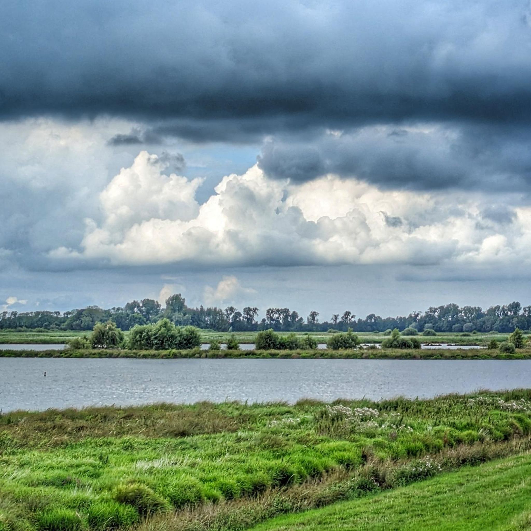
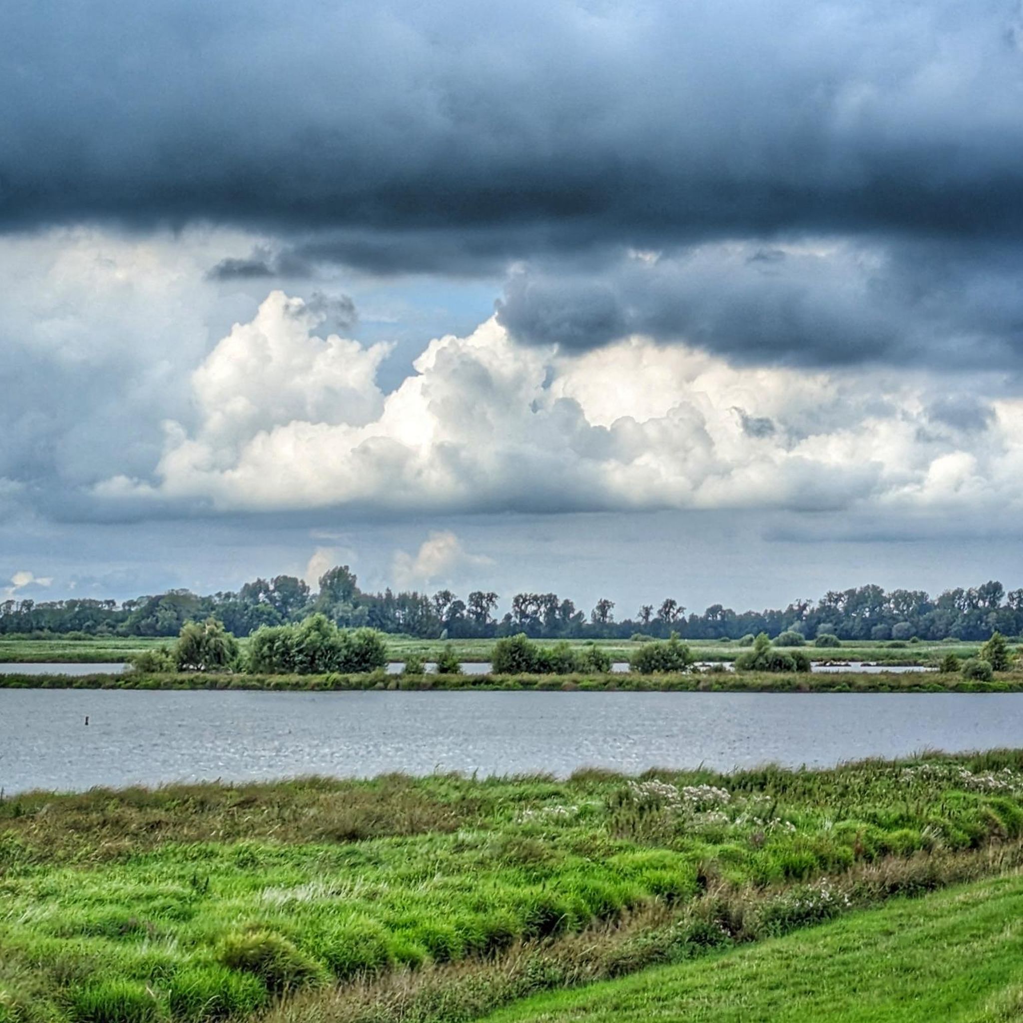
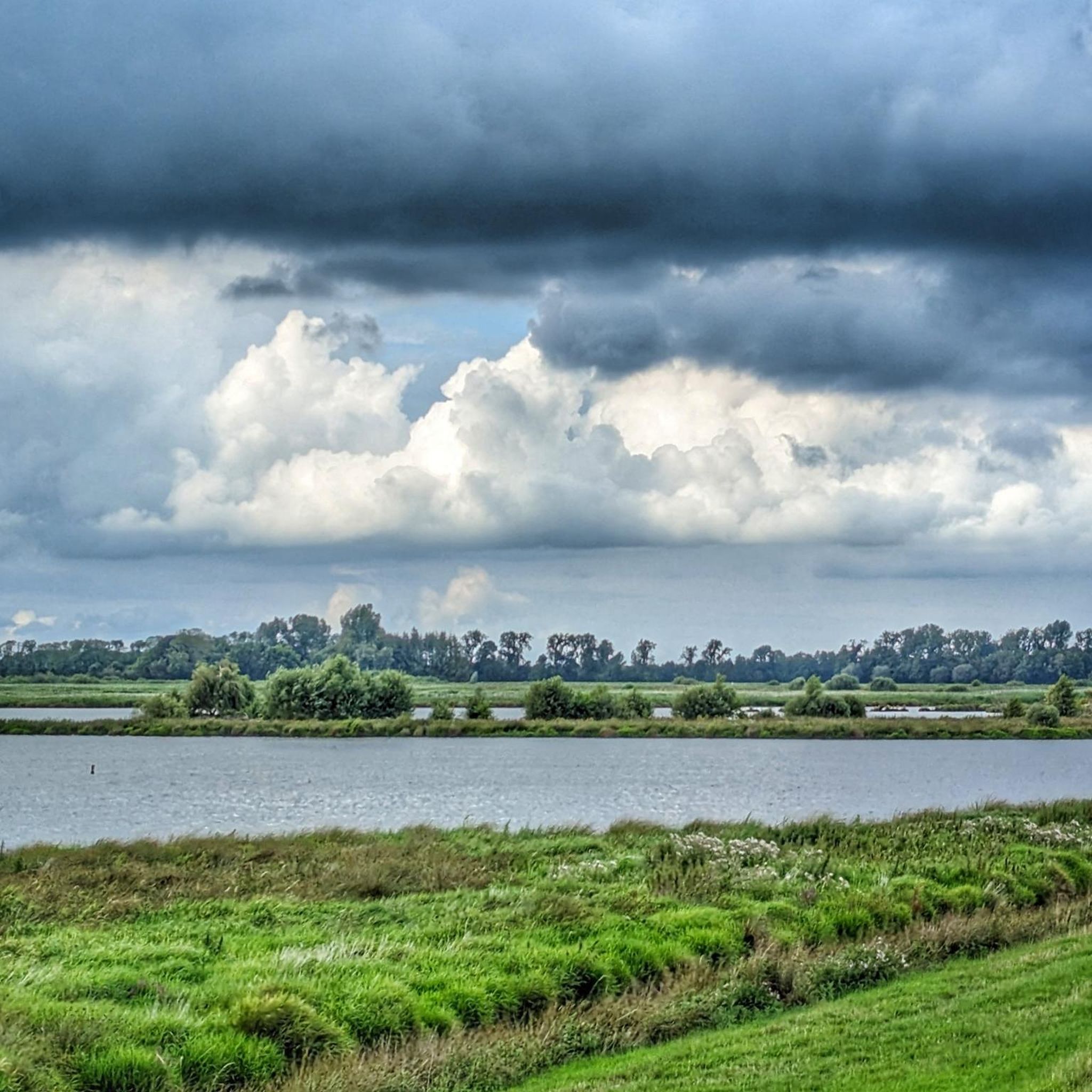
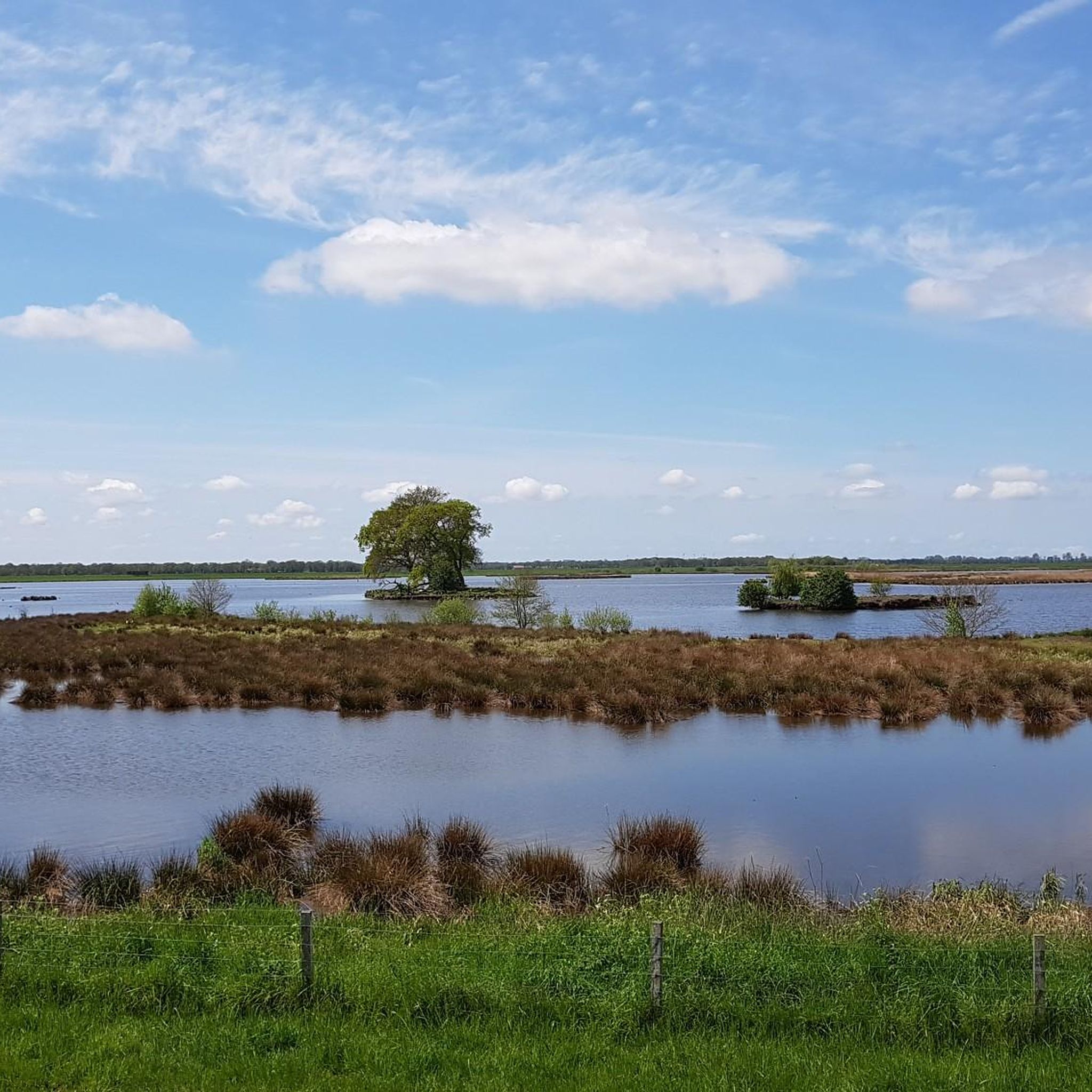
The Holter Hammrich Polder nature reserve is located directly on the Leda near Uplengen. It serves flood protection and is an important habitat for meadow birds. The Leda forms a wide floodplain there, but the area itself may not be entered to protect wildlife.
0
0

A paradise for birds and other aquatic animals.
1
0

We really enjoyed the walk along the Leda. Our tour "Land between the streams" This HL should be better named "Entlastungspolder Holter Hammrich" 😉 But that's always the problem when the HL is set for a section rather than at specific points. This HL is easy to reach with any type of bike and on foot.
6
0

It's good to cycle here .🚴♀️🚴
6
2

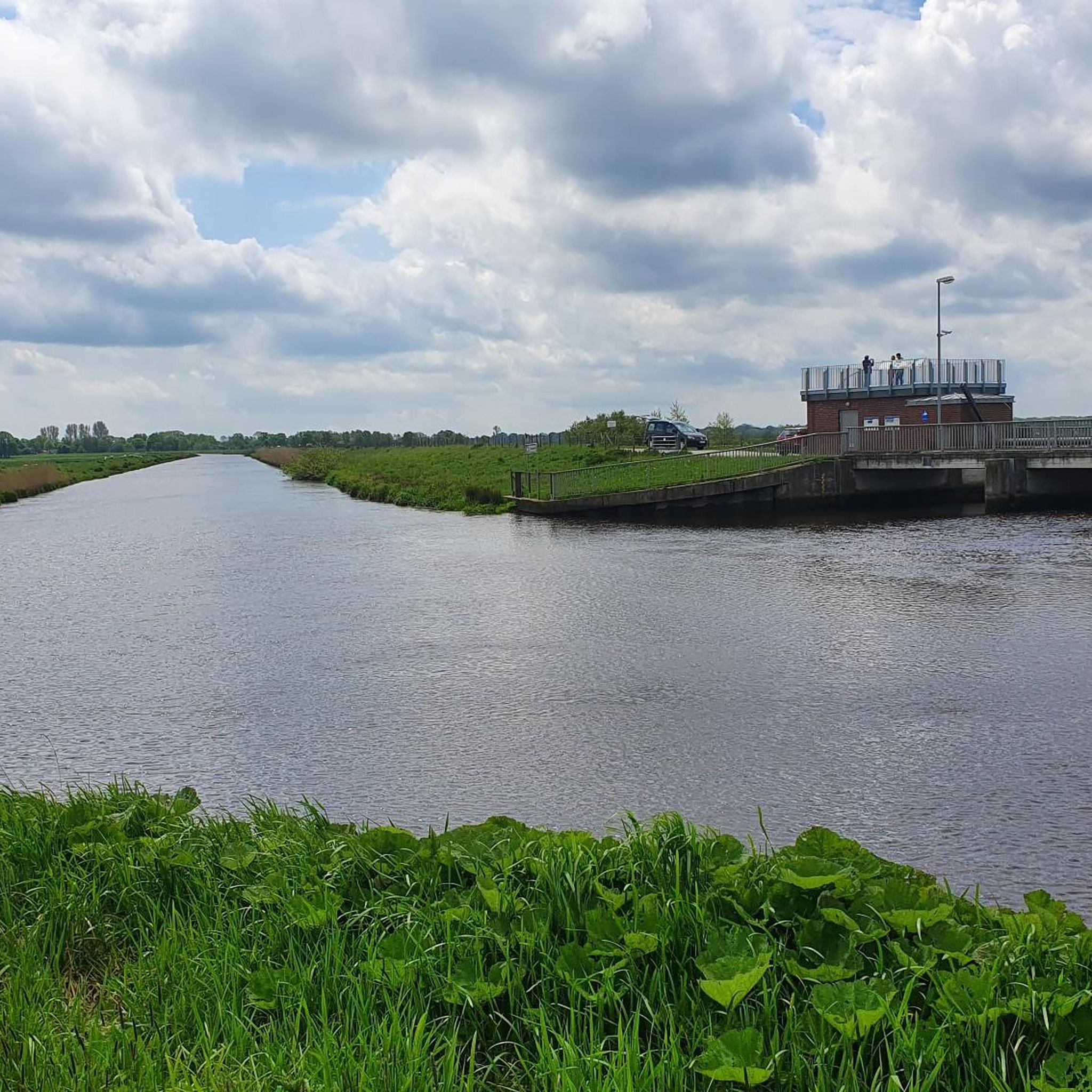
Description In connection with the construction and commissioning of the Leda tidal barrier (1954), a storage area of approx. 135 hectares was created south of Leer in 1957. In the event of storm surges, the barrage in the Leda is closed. Then, when there is a lot of precipitation, the inflowing headwater of the Leda can be diverted to the storage area through a small barrage if necessary. The area protected by dykes is mainly grassland with a water surface of around 12 ha. The ASV has leased this water area since the relief polder was built. The body of water consists of an arc-shaped Leda half loop and merges into a drainage canal. The half loop has a length of approx. 350 m and is between 100 m and 150 m wide, the canal part is approx. 450 m long with a width of 30 m to 60 m. The depth varies between 1 m and 2.5 m. Although the side ditches in the canal section are part of the lease agreement, they may not be entered or fished on.
6
0

The Arnold-Goudschalweg is currently completely (!) closed at the pumping station due to construction work!
4
0
The relief polder Holter Hammrich is a unique opportunity for nature. The relief polder Holter Hammrich is a unique opportunity for nature. Due to the natural site conditions, in particular the height development in the terrain, the Holter Hammrich is ideal for common goals of flood prevention and nature conservation. The structures used to regulate the water level allow the water level to fluctuate as it occurs in natural floodplains. This supports the increased settlement of characteristic breeding birds and amphibians. Various information and observation options have been set up for visitors to the Holter Hammrich polder so that they can encounter this nature experience up close.
7
2
Frequently Asked Questions
What kind of natural features can I explore in Entlastungspolder Holter Hammrich?
The area is a significant flood relief polder with a diverse landscape. You'll find extensive grasslands, shallow water zones, woodlands, reeds, and wet meadows. It's bordered by the Leda river, the Hauptfehnkanal, and the Holter Sieltief. The polder's design allows for natural water level fluctuations, creating a dynamic ecosystem.
Is Entlastungspolder Holter Hammrich a good place for birdwatching?
Absolutely. The polder is renowned as a bird sanctuary, providing a crucial habitat for over 60 different breeding bird species. The western part, known as 'Leyßer Hammrich,' is specifically designed for meadow birds. You can observe this fascinating wildlife from various observation points, including a lookout tower within the Bird Sanctuary.
Are there walking or cycling paths available?
Yes, Entlastungspolder Holter Hammrich features an extensive network of well-maintained paths perfect for hiking, walking, and cycling. You can enjoy tranquil routes through the meadow landscape, along sandy paths, and narrow country roads. The surrounding dikes also offer scenic views for leisurely strolls.
What outdoor activities can I do near these attractions?
Beyond exploring the polder itself, the region offers various outdoor activities. You can find numerous cycling routes, including those along the historic Hauptfehnkanal. For those who prefer to explore on foot, there are also dedicated running trails in the area.
Are there any family-friendly attractions or activities?
Many areas within the polder are considered family-friendly, such as the Holter Hammrich Relief Polde and the Bird Sanctuary. The extensive network of paths is suitable for walks with children, and observation points allow families to spot diverse animal life. There's even a publicly accessible stamping box along the Heuweg for the Nordsee-Reisepass, which can be a fun activity for kids.
What is the best time of year to visit Entlastungspolder Holter Hammrich?
The polder is beautiful year-round, but spring and autumn are particularly rewarding for birdwatching due to migration periods. The diverse landscape is also vibrant during these seasons. During late 2023/early 2024, the polder was utilized for flood relief, demonstrating its critical function, which can also offer a unique perspective on its purpose.
Are there any cultural or historical sites nearby?
While the polder itself is primarily a natural and flood control area, the historic Hauptfehnkanal borders it to the east. This canal, completed in 1781, once served as a vital shipping route. Additionally, the Fehn- und Schiffahrtsmuseum, though not directly inside the polder, is a nearby point of interest that offers insights into local history of fen colonization and shipping.
What should I know about visiting with dogs?
To protect the sensitive wildlife and plants, visitors are advised to stay on designated paths. Dog owners should observe leash regulations throughout the polder area to ensure the safety and tranquility of the bird sanctuary.
Are there observation points to view the wildlife?
Yes, several information and observation points are available, allowing visitors to experience the natural environment and observe the diverse animal life up close. One such point offers views over the water surfaces in the polder, and the Bird Sanctuary includes a lookout tower for enhanced viewing.
What is the significance of the 'Hammrich' in the name?
The term 'Hammrich' refers to low-lying grassland, often marshy, that is typically used for meadows or pastures. In East Frisia, it describes the transitional land between geest and marshland, accurately reflecting the landscape of the Entlastungspolder Holter Hammrich.
What is the purpose of the Entlastungspolder Holter Hammrich?
The primary purpose of the Entlastungspolder Holter Hammrich is flood relief, having been officially put into operation in 2011. It serves as a critical flood control measure for the region. Beyond this, it has also become a significant area for nature conservation, particularly as a bird sanctuary.
Can I find information about the area during my visit?
Yes, there are information boards at various observation points within the polder. These boards provide details about the area's flora, fauna, and its function as both a flood control measure and a nature reserve.
Most popular routes in Entlastungspolder Holter Hammrich
Most popular attractions in Entlastungspolder Holter Hammrich

Get inspired with the komoot mobile app


Explore more
Still not found the Highlight you’re looking for? See guides of the top attractions in other regions:
