The best walks and hikes in Entlastungspolder Holter Hammrich
4.5
(1234)
6,681
hikers
455
hikes
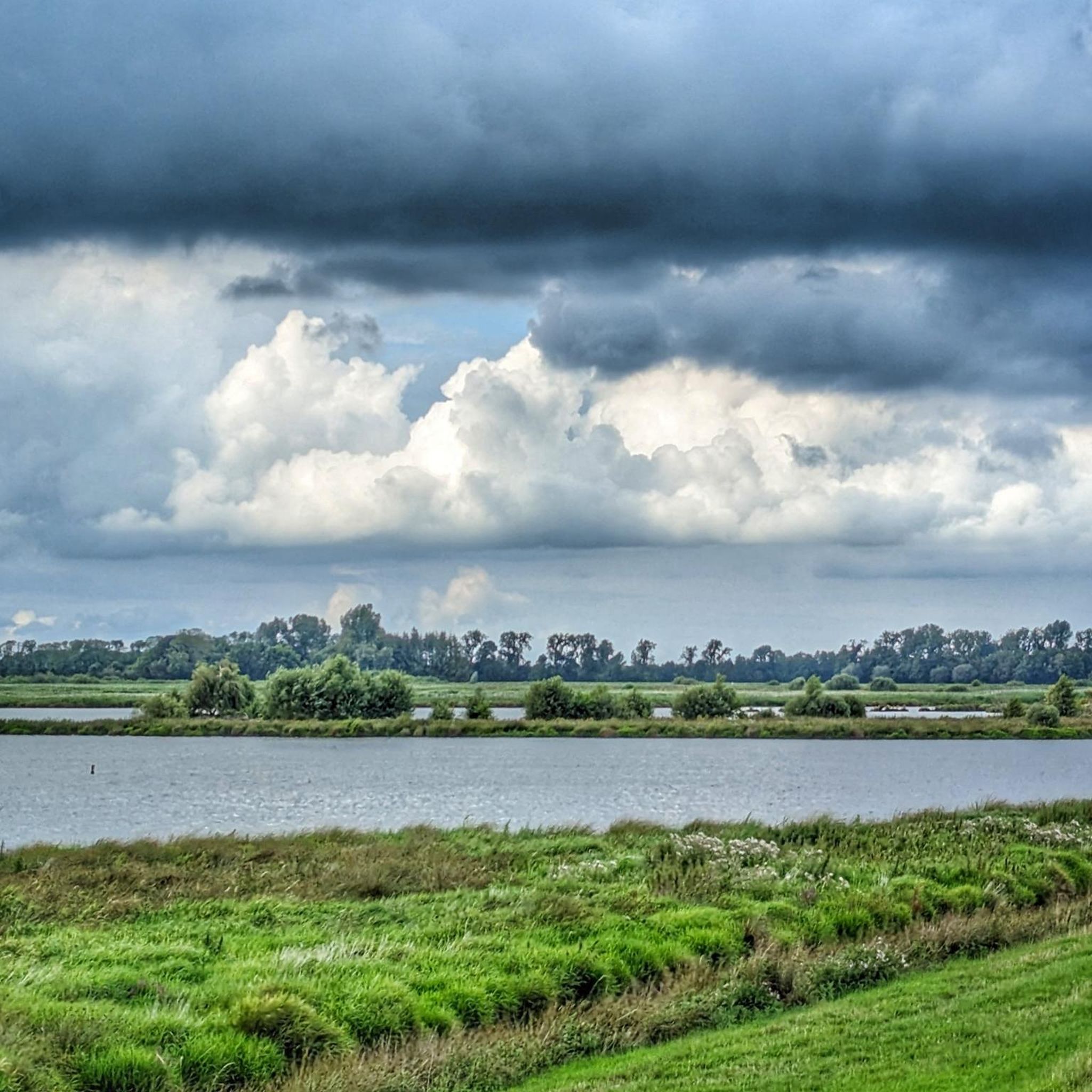
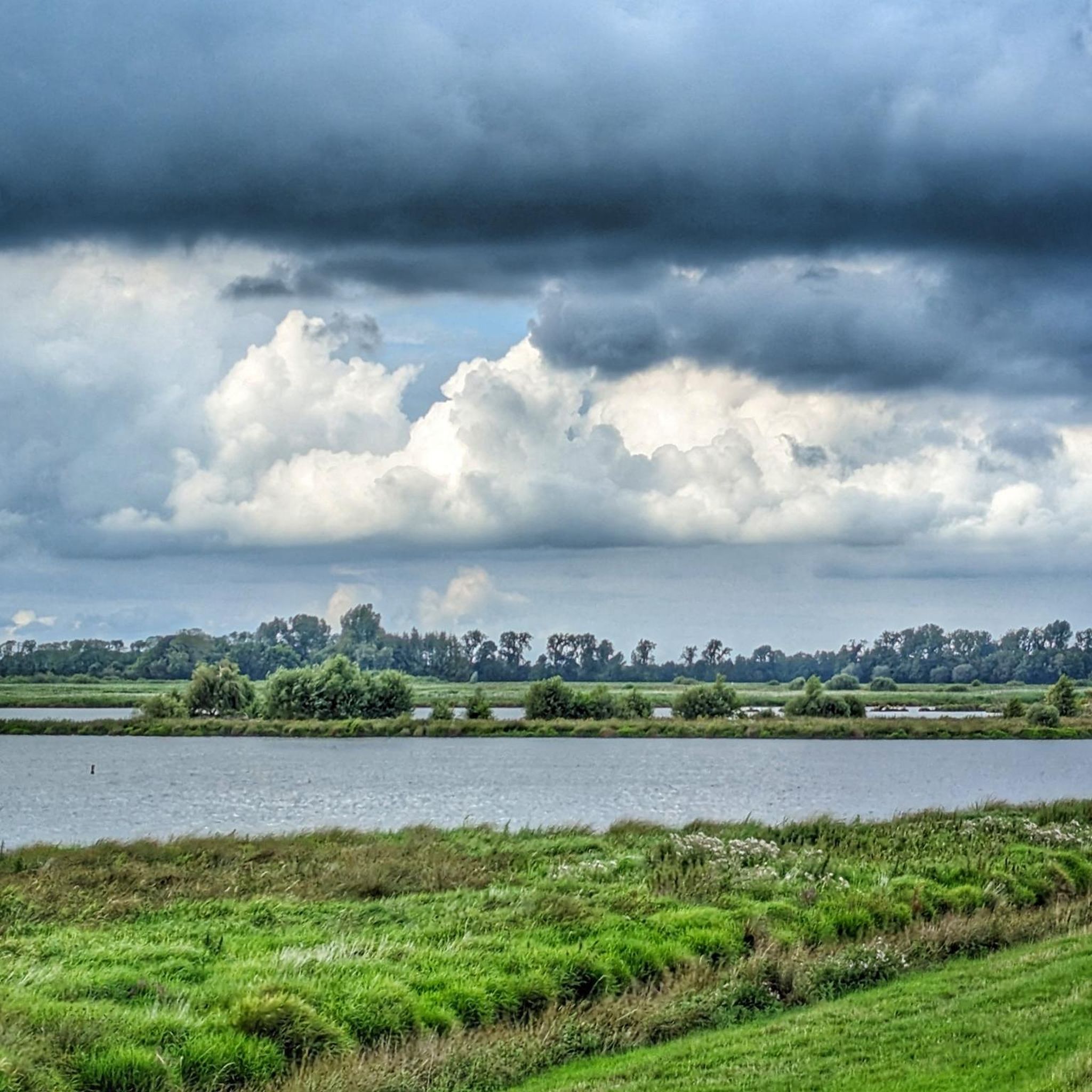
Hiking in Entlastungspolder Holter Hammrich traverses a unique flood retention polder in Lower Saxony, characterized by extensive wetlands and grasslands. The landscape features a mosaic of shallow water zones, reed beds, and dikes, offering diverse habitats. Elevated dike systems provide panoramic views of the surrounding Leda-Jümme lowlands. This area combines functional flood defense with significant nature conservation, particularly for birdlife.
Best hiking trails in Entlastungspolder Holter Hammrich
- The most popular hiking route is Polder Holter Hammrich loop from Entlastungspolder Holter…
Last updated: July 12, 2026
4.8
(44)
141
hikers
Easy hike. Great for any fitness level. Easily-accessible paths. Suitable for all skill levels.
5.0
(1)
14
hikers
4.66km
01:10
0m
0m
Easy hike. Great for any fitness level. Easily-accessible paths. Suitable for all skill levels.

Sign up for free
5.0
(1)
13
hikers
Easy hike. Great for any fitness level. Easily-accessible paths. Suitable for all skill levels.
5.0
(1)
10
hikers
5.18km
01:18
10m
10m
Easy hike. Great for any fitness level. Easily-accessible paths. Suitable for all skill levels.
4.3
(3)
10
hikers
8.45km
02:08
10m
10m
Moderate hike. Good fitness required. Easily-accessible paths. Suitable for all skill levels.
Get access to more routes and recommendations from other explorers.
Sign up for free
Already have an account?
Our route recommendations are based on thousands of hikes, rides, and runs completed by other people on komoot.
Start today with a free account
Your next adventure awaits.
Login or Signup
Tips from the Community

The Ledabrücke in Potshausen is the oldest bascule bridge in the municipality of Ostrhauderfehn. It is already mentioned in the "Hagisch verglyk over de Gravemina" from 1662.
0
0
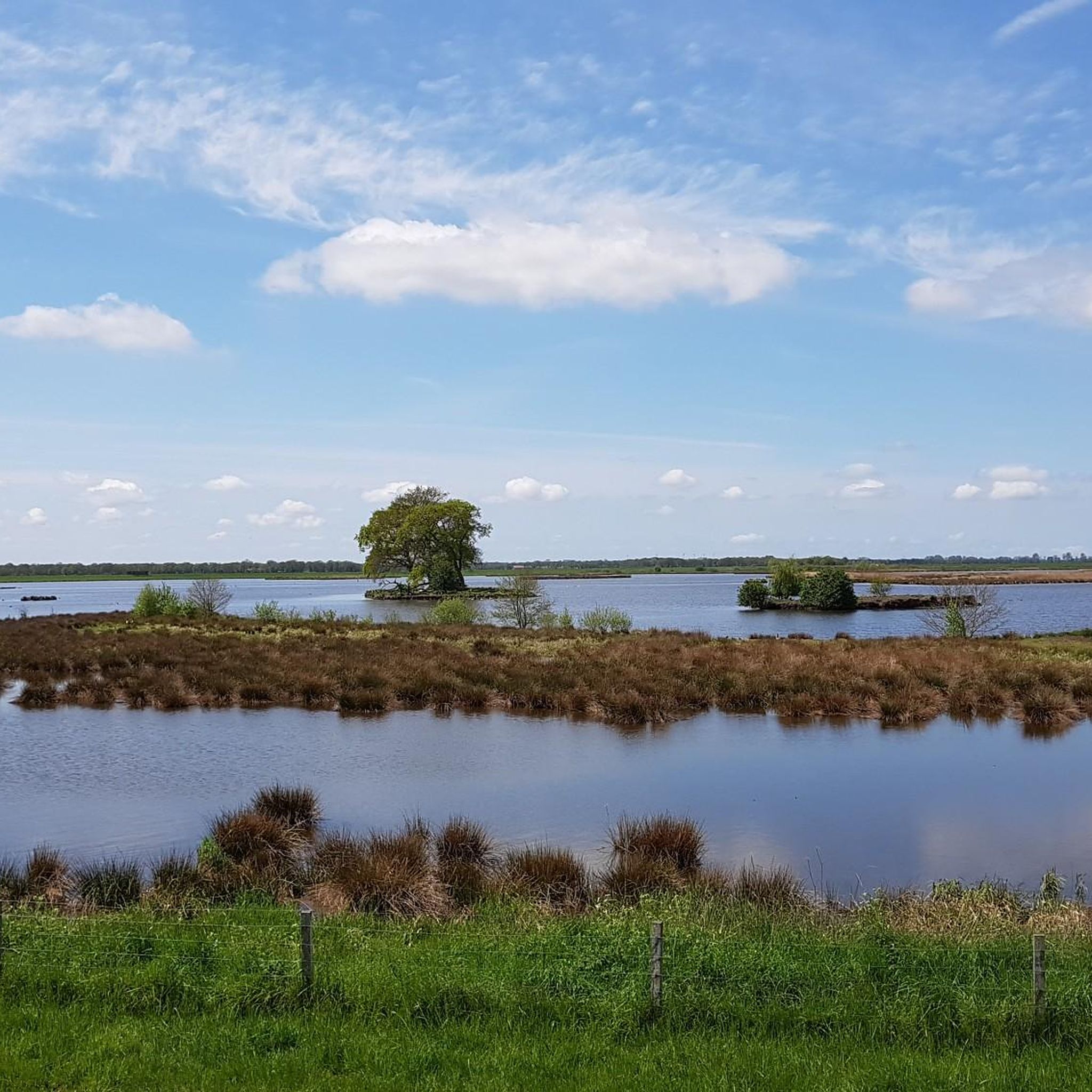
Nature reserve Polder Holter Hammrich and directly on the circular route (Heuweg). Sheep and birds are often found on the grassy areas. Cyclists can follow nodes 72 and 73.
0
0
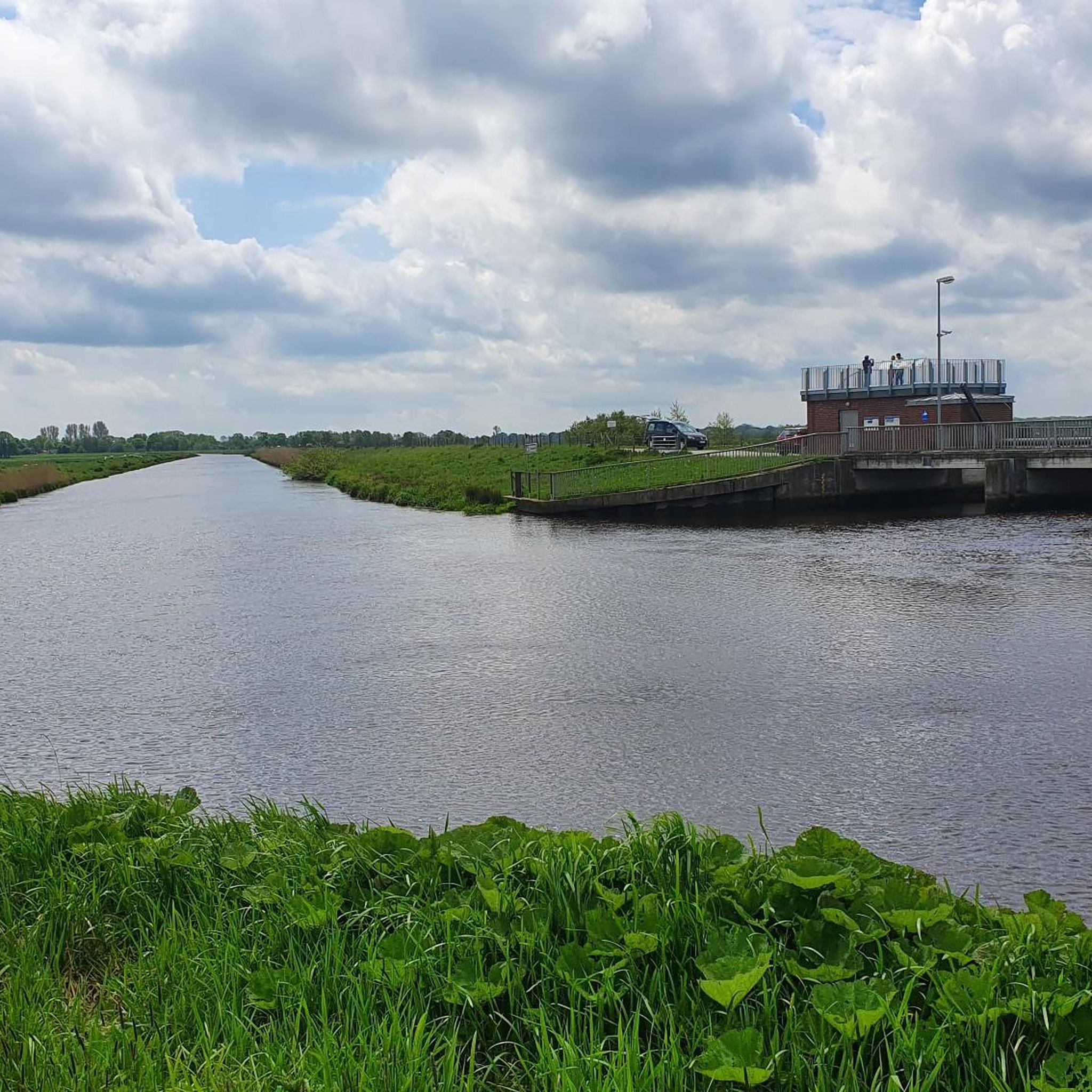
Viewing platform with viewing windows onto the Polder Holter Hammrich nature reserve and directly on the circular route (Heuweg). Sheep and birds are often found on the grassy areas. Cyclists can follow nodes 72 and 73.
0
0
Viewing platform with viewing windows onto the Polder Holter Hammrich nature reserve and directly on the circular route (Heuweg). Sheep and birds are often found on the lawns. Cyclists can follow nodes 72 and 73.
0
0
Hiking & Cycling: The flat, well-maintained paths along the canal offer excellent conditions. A popular Leda Hauptkanal Rundtour (e.g. from Potshausen) is about 6.8 km to 8 km long.
0
0
The Polder Holter Hammrich nature reserve is located directly on the Leda near Uplengen. It serves as flood protection and is an important habitat for meadow birds. The Leda forms a wide lowland there, but the area itself may not be entered to protect wildlife.
0
0
The Polder Holter Hammrich nature reserve is located directly on the Leda near Uplengen. It serves flood protection and is an important habitat for meadow birds. The Leda forms a wide floodplain there, but the area itself may not be entered to protect wildlife.
0
0

The Ledabrücke Amdorf is a road bridge near Amdorf in the Leer district. The timber-framed arch bridge was built in 1955/56. It replaced a ferry connection across the Leda that had existed since 1886 and is considered the narrowest car bridge in Germany.
0
0
Frequently Asked Questions
How many hiking trails are available in Entlastungspolder Holter Hammrich?
There are over 460 hiking routes in Entlastungspolder Holter Hammrich. The majority, around 360, are easy trails, with about 90 moderate and a few difficult options available.
What is the terrain like in Entlastungspolder Holter Hammrich?
The terrain is characterized by extensive wetlands, grasslands, and a system of dikes. You'll find a mosaic of shallow water zones, reed beds, and open landscapes. The dikes often provide elevated vantage points for panoramic views of the surrounding Leda-Jümme lowlands.
What kind of wildlife can I expect to see while hiking?
Entlastungspolder Holter Hammrich is a significant bird sanctuary, home to over 60 different breeding bird species. Hikers can observe various meadow and wading birds such as the Black-tailed Godwit, Avocet, Northern Lapwing, and Eurasian Curlew. Observation points with protective screens are available to help you spot them without disturbance.
Are there easy hiking trails suitable for beginners or casual walkers?
Yes, the area is very well-suited for beginners and casual walkers. Over 360 of the available routes are classified as easy. Many trails, like the Hiking loop from Entlastungspolder Holter Hammrich, lead through the polder's wetlands and grasslands on generally flat paths.
Are there any circular routes in Entlastungspolder Holter Hammrich?
Yes, circular routes are a popular way to explore the polder. A well-known option is the Polder Holter Hammrich loop from Entlastungspolder Holter Hammrich, which is 7.1 km long and often runs along the dikes, offering expansive views.
Are dogs allowed on the hiking trails?
Dogs are generally allowed, but it's important to be aware of leash requirements, especially given the area's status as a sensitive bird sanctuary. Staying on marked paths and keeping dogs leashed helps protect the local flora and fauna.
Are the trails suitable for families with children?
Many trails in Entlastungspolder Holter Hammrich are easy and suitable for families. The flat terrain and well-maintained paths make it accessible for all ages. The opportunity for birdwatching and the open landscape can be engaging for children.
What are the main attractions or viewpoints in Entlastungspolder Holter Hammrich?
Key attractions include the Bird Sanctuary itself, offering exceptional birdwatching opportunities. Elevated viewpoints are strategically placed, such as at the Holter Schöpfwerk (pumping station) and at the inlet/outlet structure at the mouth of the Hauptfehnkanal. A protective screen with information boards in the south of the polder also provides excellent viewing slits for observing wildlife. The historical Hauptfehnkanal is also a notable feature.
Where can I park when visiting Entlastungspolder Holter Hammrich?
Specific parking areas are available near the main access points to the polder. Look for designated parking lots close to trailheads, particularly around the Holter Schöpfwerk or other entry points to the dike system.
How can I reach Entlastungspolder Holter Hammrich using public transport?
Public transport options to Entlastungspolder Holter Hammrich are limited. It is advisable to check local bus schedules for connections from nearby towns like Leer. However, for direct access to trailheads, a car is often the most convenient option.
What is the best time to visit Entlastungspolder Holter Hammrich for hiking?
The polder is beautiful year-round, but spring and autumn are particularly good for birdwatching as migratory birds pass through. Winter and spring may see intentional flooding in the Leyßer Hammrich section, mimicking natural floodplain conditions, which can offer unique landscapes. Summer provides pleasant conditions for walking, with shaded rest areas available along some trails.
What do other hikers enjoy most about hiking in Entlastungspolder Holter Hammrich?
The area is highly rated by the komoot community, with an average score of 4.5 stars from over 900 reviews. Reviewers often praise the natural tranquility, the wide-open views, and the sense of quiet enjoyment that allows visitors to immerse themselves in nature. The well-maintained paths and excellent birdwatching opportunities are also frequently highlighted.
Most popular routes in Entlastungspolder Holter Hammrich
Most popular attractions in Entlastungspolder Holter Hammrich

Get inspired with the komoot mobile app


Explore more
Browse the best Hikes in other regions.
