The best walks and hikes in Nsg Lengericher Osning
4.5
(24664)
84,235
hikers
15
hikes
Hiking in Nsg Lengericher Osning offers diverse landscapes within the Teutoburg Forest, featuring a ridge trail experience. The region is characterized by significant natural features such as the Lengericher Canyon, known for its clear, turquoise water, and the Dörenther Cliffs with their distinctive sandstone rock formations. The area encompasses varied forests and topography, providing a range of hiking experiences.
Best hiking trails in Nsg Lengericher Osning
- The most popular hiking route is Solitary Tree in the Field – View of…
Last updated: July 5, 2026
4.1
(7)
55
hikers
Easy hike. Great for any fitness level. Easily-accessible paths. Suitable for all skill levels.
4.5
(11)
68
hikers
5.68km
01:32
70m
70m
Easy hike. Great for any fitness level. Easily-accessible paths. Suitable for all skill levels.

Sign up for free
4.8
(9)
45
hikers
7.38km
02:04
150m
150m
Moderate hike. Good fitness required. Easily-accessible paths. Suitable for all skill levels.
5.0
(2)
36
hikers
5.19km
01:22
50m
50m
Easy hike. Great for any fitness level. Easily-accessible paths. Suitable for all skill levels.
4.6
(7)
15
hikers
3.77km
01:04
80m
80m
Easy hike. Great for any fitness level. Easily-accessible paths. Suitable for all skill levels.
Get access to more routes and recommendations from other explorers.
Sign up for free
Already have an account?
Our route recommendations are based on thousands of hikes, rides, and runs completed by other people on komoot.
Start today with a free account
Your next adventure awaits.
Login or Signup
Popular around Nsg Lengericher Osning
Other adventures in Nsg Lengericher Osning

Tips from the Community


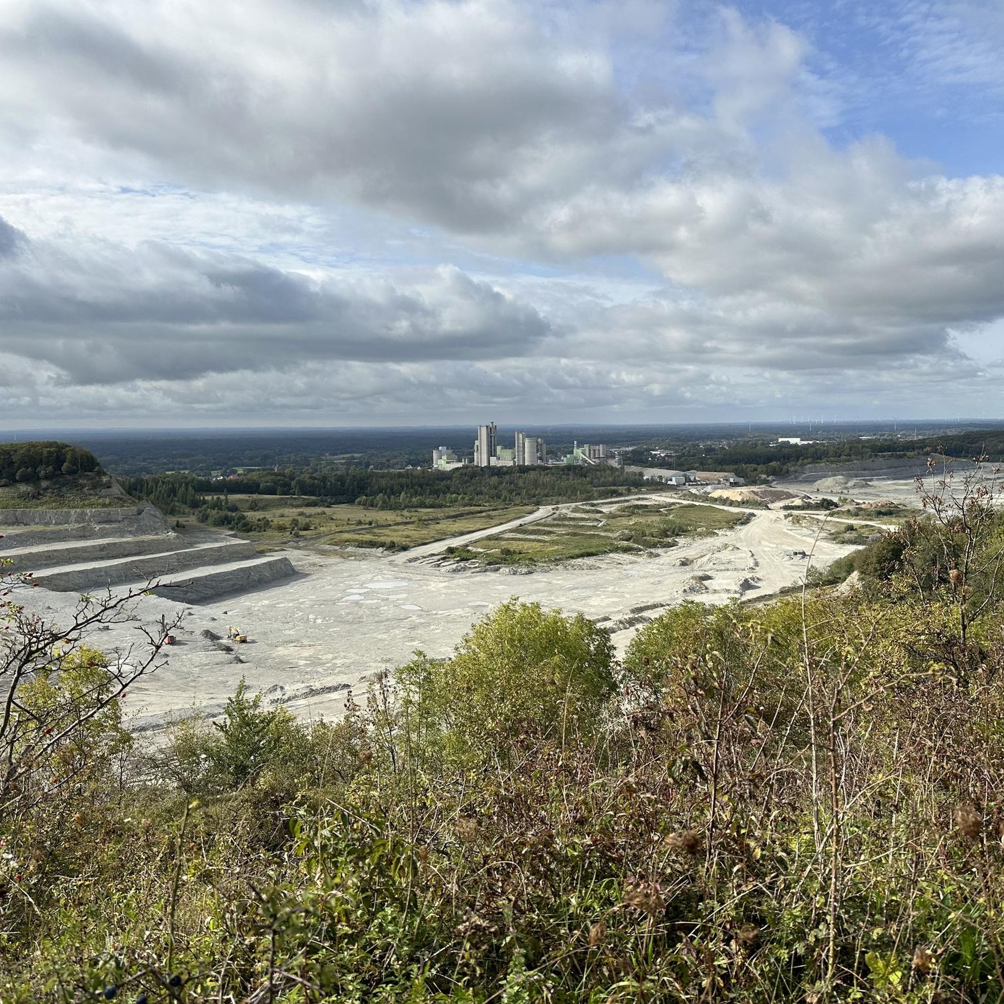
At the beginning of 05.2026 I walked the premium circular hiking trail "Canyon-Blick". This view is one of the many big and small highlights of this Teuto loop!
0
0

This is the digital stamping point for the Hermannshöhenweg. You can find all further information in my collection: https://www.komoot.com/de-de/collection/2455519/-hermannshoehen-wandernadel
0
0

During flowering time you will find beautiful hydrangea fields on the grounds.
15
0
Old cemetery with a small chapel.
15
1

Beautiful view. There were no goats :-( But there were cows further ahead.
0
0
Nice idea, reminiscent of the lower gardens in very windy areas, e.g. on the Orkney Islands.
0
0

Beautiful hydrangea garden
0
0
Frequently Asked Questions
How many hiking trails are available in Nsg Lengericher Osning?
Nsg Lengericher Osning offers a diverse network of over 15 hiking trails. These routes cater to various fitness levels, ranging from easy strolls to more challenging excursions through the Teutoburg Forest.
Are there easy hiking trails suitable for beginners or families?
Yes, Nsg Lengericher Osning has 10 easy hiking trails perfect for beginners or families. An excellent option is the Solitary Tree in the Field – View of Lengerich Canyon loop from Lengerich, which is 3.1 miles (5.1 km) long and offers scenic views of the Lengerich Canyon.
What kind of landscapes can I expect to see while hiking in Nsg Lengericher Osning?
The region is characterized by diverse landscapes within the Teutoburg Forest. You'll encounter varied forests, ridge trails, and significant natural features like the strikingly clear, turquoise waters of the Lengericher Canyon and the bizarre sandstone formations of the Dörenther Cliffs.
Are there any challenging routes for experienced hikers?
For experienced hikers, Nsg Lengericher Osning offers 2 difficult trails. One challenging option is the View of Dyckerhoff Quarry loop from Sudenfeld, a 6.6-mile (10.6 km) route with significant elevation changes.
What are some notable natural attractions or viewpoints in the area?
Hikers can explore several natural attractions and viewpoints. The View of Lengerich offers panoramic vistas, and the Impressive beech forest provides a serene natural experience. The Lengericher Canyon itself is a major highlight, known for its unique blue water.
What do other hikers say about the trails in Nsg Lengericher Osning?
The trails in Nsg Lengericher Osning are highly rated by the komoot community, with an average score of 4.5 stars from over 7,500 reviews. Hikers often praise the varied terrain, the scenic views, and the well-maintained paths that lead through forests and past unique geological features.
Are there any circular hiking routes in Nsg Lengericher Osning?
Yes, many routes in Nsg Lengericher Osning are circular, allowing you to start and end at the same point. An example is the View of Lienener Osning loop from NSG Lengericher Osning, an easy 3.5-mile (5.7 km) path offering scenic views.
Is there parking available near the trailheads?
Parking is generally available at various access points and trailheads throughout Nsg Lengericher Osning. Many popular routes, such as the Nature and Geotrail Dyckerhoff – View of the Lengerich Quarry loop from Lengerich (Westf), are accessible with nearby parking facilities.
What is the best time of year to go hiking in Nsg Lengericher Osning?
Nsg Lengericher Osning is enjoyable year-round, but spring and autumn are particularly popular. Spring brings lush greenery and blooming wildflowers, while autumn offers vibrant foliage. Summer is great for longer days, and even winter can be beautiful with snow, though some paths might be slippery.
Are there any long-distance hiking paths that pass through the region?
Yes, sections of the famous Hermannsweg, a long-distance ridge trail extending approximately 160 kilometers through the Teutoburg Forest, are accessible within Nsg Lengericher Osning. This allows hikers to experience a part of this historic route.
Are there any routes that offer views of the Lengericher Canyon?
Absolutely. Several routes provide stunning views of the Lengericher Canyon. The View of Tecklenburg – View of Lengericher Canyon loop from Lengerich is a great option, offering picturesque vistas of both the canyon and the historic town of Tecklenburg.
Most popular routes in Nsg Lengericher Osning
Most popular attractions in Nsg Lengericher Osning

Get inspired with the komoot mobile app


Explore more
Browse the best Hikes in other regions.
