The best cycling routes in Breitenroder-Oebisfelder Drömling
4.6
(1991)
8,827
riders
440
rides
Touring cycling in Breitenroder-Oebisfelder Drömling offers routes through a unique lowland area, recognized as both a Biosphere Reserve and a Nature Park. This region, originally marshland, features an extensive network of thousands of ditches, dams, and waterways, creating diverse habitats. The landscape is characterized by a mosaic of alder marsh and alder-ash forests, wet meadows, and water oases. These features provide varied terrain for touring cyclists.
Best touring cycling routes in Breitenroder-Oebisfelder Drömling
- The most popular touring cycling route is…
Last updated: July 11, 2026
4.8
(11)
18
riders
33.7km
02:20
40m
40m
Moderate bike ride. Good fitness required. Mostly paved surfaces. Suitable for all skill levels.
4.5
(4)
13
riders
Easy bike ride. Great for any fitness level. Mostly paved surfaces. Suitable for all skill levels.

Sign up for free
4.3
(3)
9
riders
32.5km
01:59
60m
60m
Easy bike ride. Great for any fitness level. Mostly paved surfaces. Suitable for all skill levels.
5.0
(1)
2
riders
44.1km
02:56
40m
40m
Moderate bike ride. Good fitness required. Mostly paved surfaces. Suitable for all skill levels.
5.0
(1)
2
riders
Easy bike ride. Great for any fitness level. Mostly paved surfaces. Suitable for all skill levels.
Get access to more routes and recommendations from other explorers.
Sign up for free
Already have an account?
Our route recommendations are based on thousands of hikes, rides, and runs completed by other people on komoot.
Start today with a free account
Your next adventure awaits.
Login or Signup
Tips from the Community

When you are there, don't just walk over it, but take time for a short walk by the water. The bridge looks particularly beautiful if you photograph or view it slightly from the side of the bank – this way you capture the entire wooden structure with its reflection in the water. In the immediate surroundings, it is also worth taking a look at the old mill or river landscape: The combination of the wooden bridge, water, and nature makes the place particularly calm and atmospheric – ideal for a short break or a brief stroll.
0
0
If you are looking for a beautiful view of the Drömling, a small detour to the higher-lying peripheral areas of the nature park is particularly worthwhile. A good tip is the area around the villages between Wolfsburg and Oebisfelde: There, open sightlines repeatedly open up over the wide, flat moor and meadow landscape of the Drömling. It is particularly atmospheric in the early morning or just before sunset, when fog hangs over the meadows and the landscape appears very calm.
0
0
A resting place with nature information in the Ohre-Drömling nature reserve is typically a small, naturally designed stopping point within the wide lowland landscape of the Naturpark Drömling. These resting places are not only intended for rest, but primarily serve to make the special landscape and its flora and fauna understandable.
0
0
The wooden bridge and the nature trail along the Ohre river are located in the Ohreaue area in the border region between Lower Saxony and Saxony-Anhalt and are a quiet, nature-close section along the river Ohre. The path leads over a small wooden bridge that crosses the river or an arm of the Ohre. Particularly typical is the very original landscape: floodplain meadows, wet bank areas, reed zones, and in places natural sections directly on the water. The path is mostly narrow and is used by both walkers and cyclists.
0
0
The „concrete path through the Ohre-Drömling“ is a rather inconspicuous, but scenically interesting section of the path in the area of the Drömling nature and cultural landscape region, which extends between Lower Saxony and Saxony-Anhalt. The term usually refers to a paved economic or cycle path (concrete slab path) that leads through the typical, very flat and water-rich lowland landscape. These paths were originally created in the Drömling for agriculture, drainage and ditch maintenance – today they are also frequently used by cyclists and walkers.
0
0
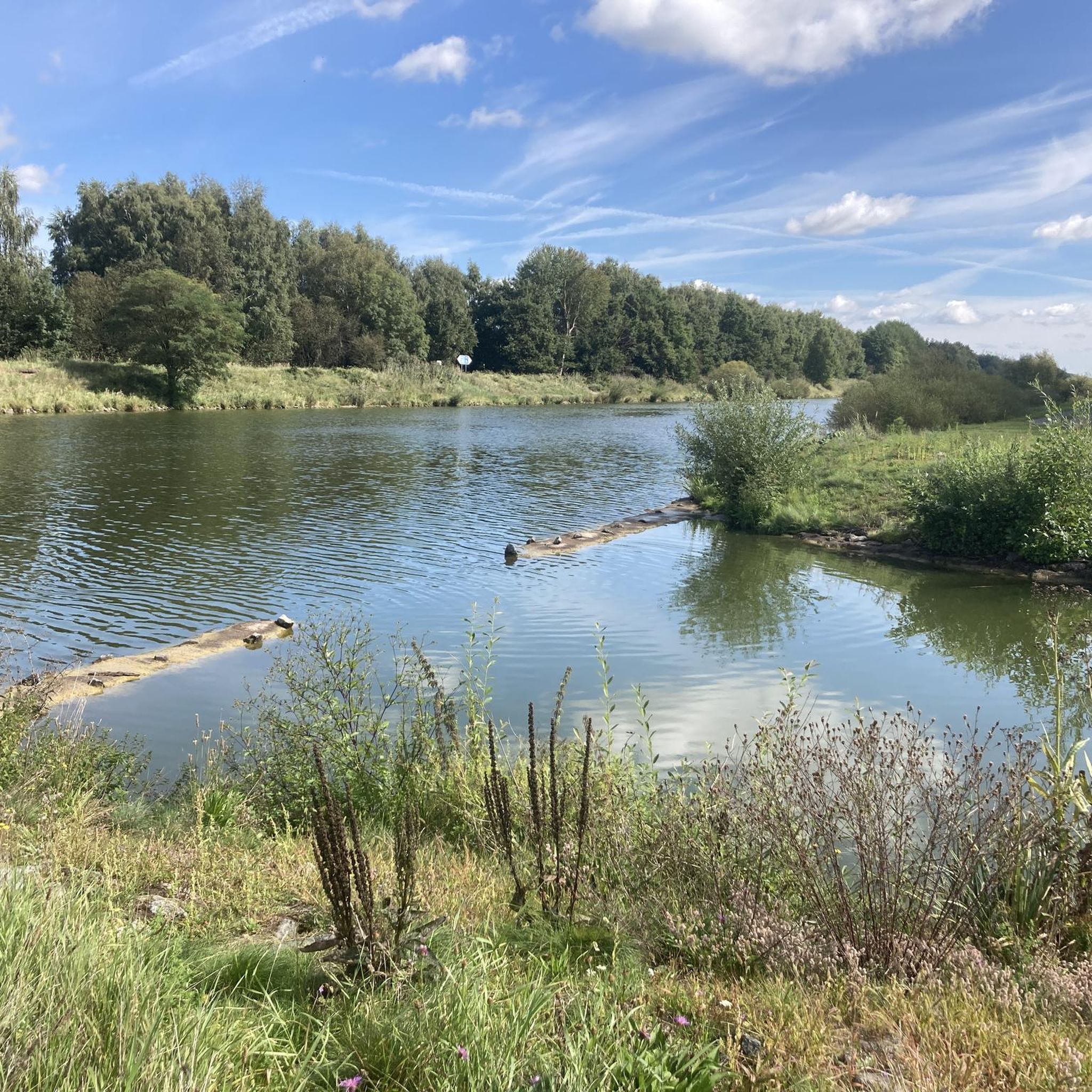
The Aller near Grafhorst is a quiet stretch of the Aller river (river), which is particularly suitable for walks and nature observation.
0
0
The nature trail in the Ohre-Drömling is a beautiful, quiet loop through one of the region's characteristic lowland landscapes. In the Drömling Nature Park, you can discover typical floodplains, ditches, and wet meadows on well-signposted paths, which were formerly strongly shaped by the waters of the Ohre.
0
0
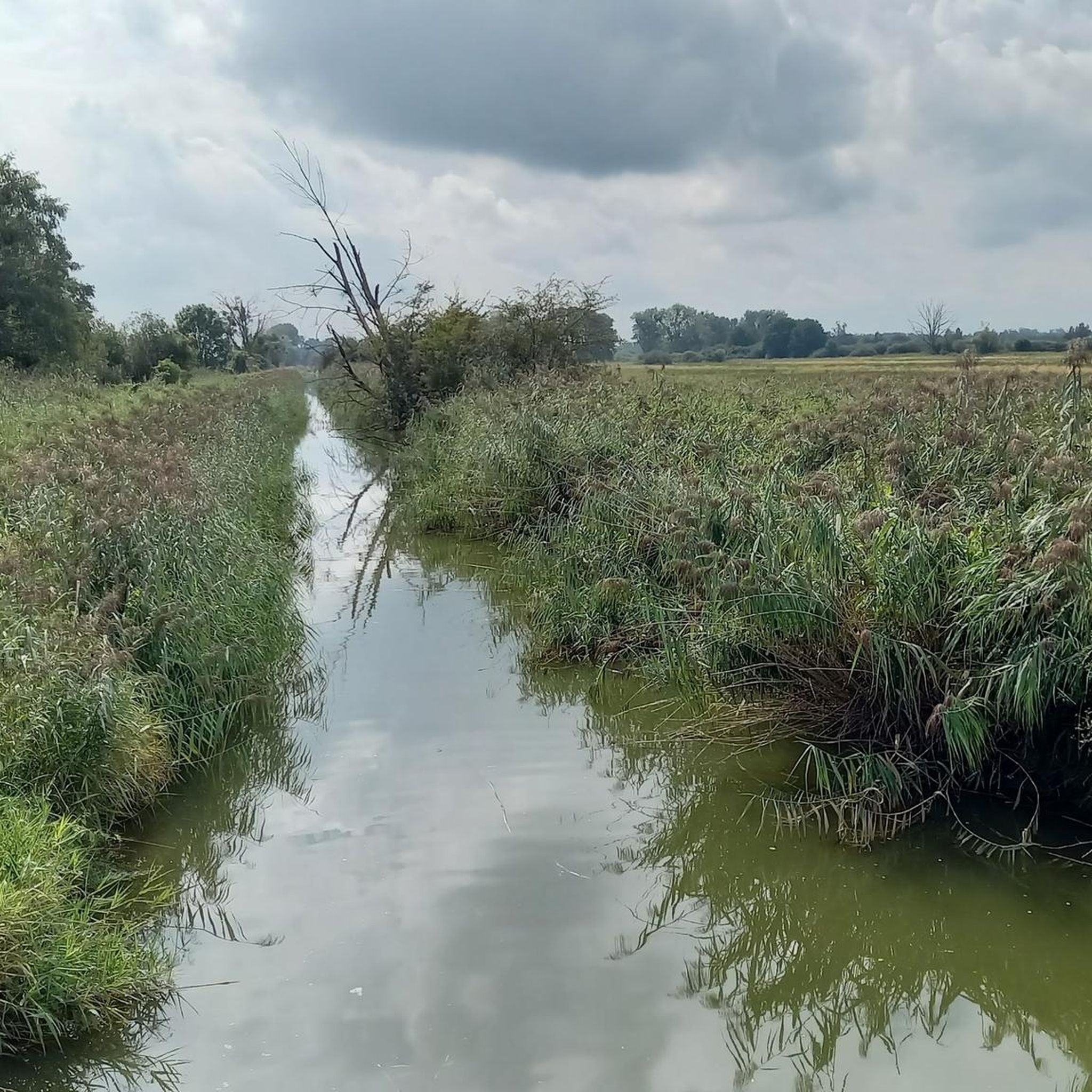
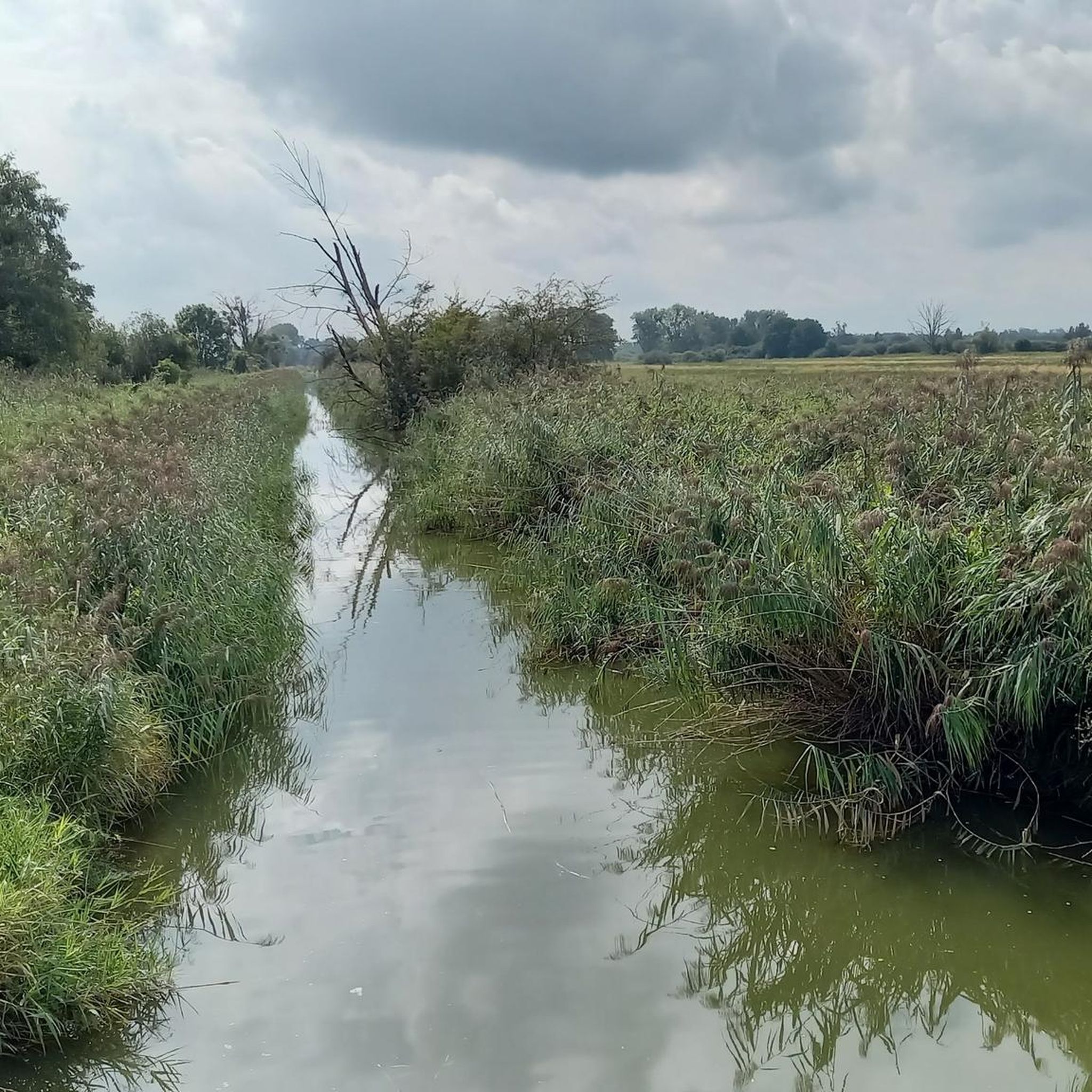
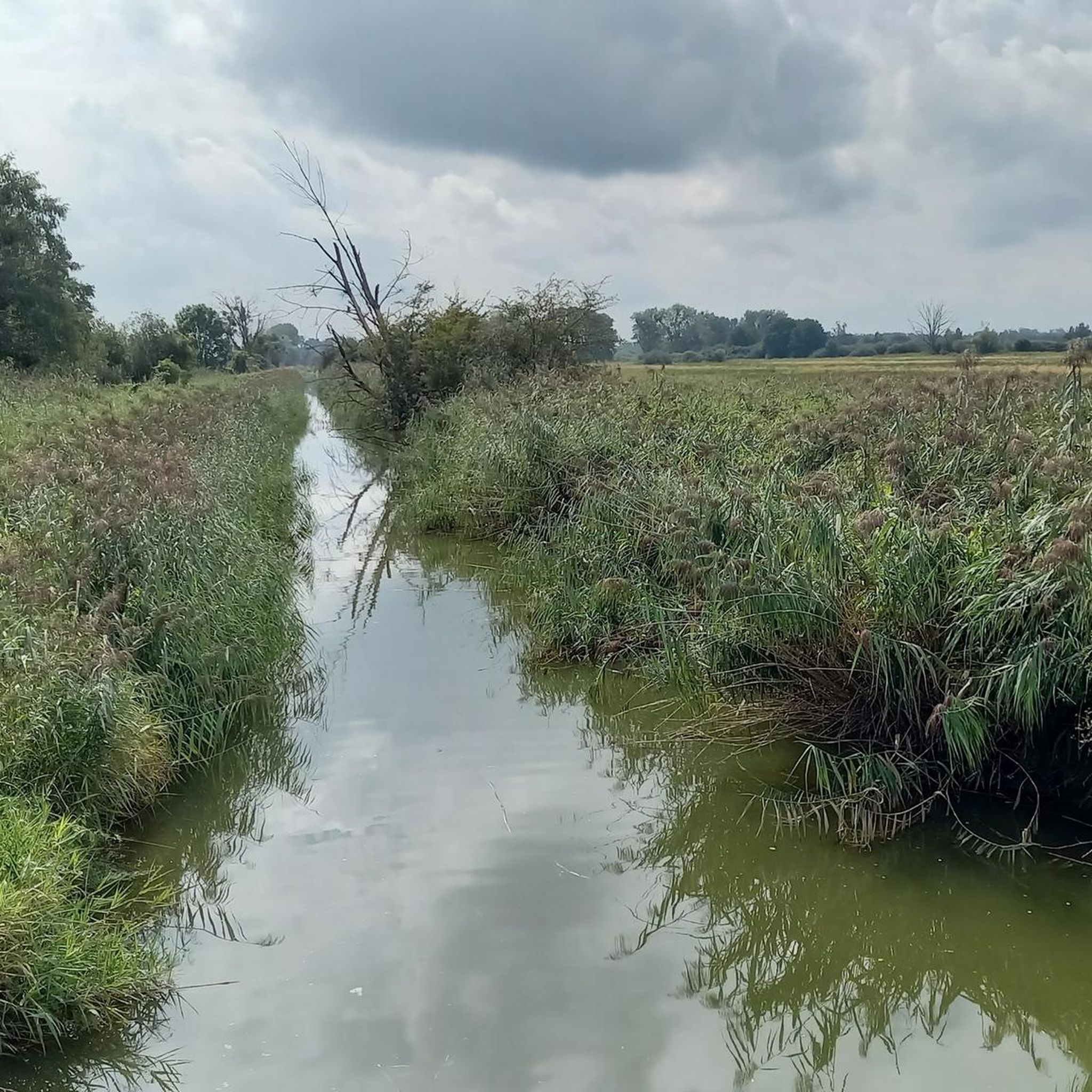
The best way to explore the area is by bike or on foot along the well-developed dike and canal paths. The many ditches may seem inconspicuous at first glance, but they are a unique wetland with high biodiversity – with a little patience, you can observe beavers, storks, and rare water birds here. The atmosphere is most beautiful and animal observation is best in the early morning or evening hours.
0
0
Frequently Asked Questions
How many touring cycling routes are available in Breitenroder-Oebisfelder Drömling?
There are over 400 touring cycling routes in Breitenroder-Oebisfelder Drömling, offering a wide variety of options for different skill levels and preferences. You'll find everything from easy, short loops to more challenging, longer tours.
What is the overall difficulty level of touring cycling routes in Breitenroder-Oebisfelder Drömling?
The majority of touring cycling routes in Breitenroder-Oebisfelder Drömling are considered easy, with 299 routes falling into this category. There are also 88 moderate routes and 53 difficult routes for those seeking more of a challenge. This ensures options for all experience levels.
What do other touring cyclists say about the routes in Breitenroder-Oebisfelder Drömling?
The touring cycling routes in Breitenroder-Oebisfelder Drömling are highly rated by the komoot community, with an average score of 4.6 stars from over 1,700 reviews. Cyclists often praise the unique natural landscapes, the extensive network of well-maintained paths, and the opportunities for wildlife observation.
Are there many circular touring cycling routes in the Drömling region?
Yes, Breitenroder-Oebisfelder Drömling offers numerous circular touring cycling routes, perfect for exploring the region without retracing your steps. Examples include the Drömling Nature Reserve – Kunrau Castle loop from Buchhorst, which takes you through parts of the nature reserve, and the View of the Aller – View of the Drömling loop from Buchhorst, offering scenic vistas.
Are there family-friendly touring cycling routes in Breitenroder-Oebisfelder Drömling?
Absolutely. Many routes in the Drömling are suitable for families, especially the numerous easy paths. The region's flat terrain and predominantly paved surfaces make for a comfortable ride. A great option is the Stork Nest at Hopfenhorst – Dannefeld half-timbered church loop from Buchhorst, an easy 19.6 km path through varied natural landscapes.
What are the best times of year for touring cycling in Breitenroder-Oebisfelder Drömling?
Spring and autumn are particularly rewarding for touring cycling in Breitenroder-Oebisfelder Drömling. In spring, the wet meadows burst with yellow buttercups, white lady's smock, and violet cuckoo-carnations. Autumn offers impressive bird migration, with thousands of geese and cranes using the area as a resting place. Summer is also pleasant, but be prepared for more sun exposure.
Are there any specific viewpoints or interesting sights along the touring cycling routes?
Yes, the Drömling region is rich in natural and historical sights. You can find viewpoints along the Aller Canal offering panoramic vistas. The town of Oebisfelde boasts one of Europe's oldest preserved swamp castles. The village of Buchhorst is known for its large stork population, and information boards (
What kind of wildlife can I expect to see while cycling in Breitenroder-Oebisfelder Drömling?
Breitenroder-Oebisfelder Drömling is a haven for wildlife. You can observe storks, herons, Heck cattle, and Konik horses at various animal observation facilities. During autumn, thousands of geese and cranes migrate through the area, and in winter, mute swans and goosanders are common. The diverse habitats support many rare and endangered species.
Is public transport available to reach the touring cycling routes?
While specific public transport connections directly to all trailheads may vary, the Drömling Information Center in Oebisfelde serves as a central hub and can provide guidance on reaching different parts of the region. It's advisable to check local bus or train schedules depending on your starting point.
Where can I find parking for touring cycling routes in Breitenroder-Oebisfelder Drömling?
Parking is generally available in and around the towns and villages that serve as starting points for touring cycling routes, such as Buchhorst or Oebisfelde. Look for designated parking areas near popular trailheads or information centers. The Drömling Information Center in Oebisfelde can also provide specific parking recommendations.
Can I bring my dog on touring cycling routes in Breitenroder-Oebisfelder Drömling?
Many touring cycling routes in Breitenroder-Oebisfelder Drömling are suitable for cycling with dogs, especially the quieter paths through natural areas. However, as it's a Biosphere Reserve and Nature Park, it's important to keep dogs on a leash to protect wildlife and respect other visitors. Always check local regulations for specific routes or protected areas.
Are there any longer touring cycling routes for experienced cyclists?
Yes, for more experienced cyclists, there are several longer routes. The Robert Hoffmann Lock – Drömling Lock Temple loop from Buchhorst is a moderate 44.1 km tour. Additionally, the Oebisfelder Sumpfburg- und Ländchen-Tour (OSL) is a 43-kilometer route, and the Miester Kolonien-Tour (MKT) is a 57-kilometer circular tour, both offering extensive exploration of the region.
Most popular routes in Breitenroder-Oebisfelder Drömling

Get inspired with the komoot mobile app


Explore more
Browse the best Cycling routes in other regions.
