The best walks and hikes in Breitenroder-Oebisfelder Drömling
4.6
(876)
3,633
hikers
312
hikes
Hiking in Breitenroder-Oebisfelder Drömling offers exploration within a unique wetland landscape, recognized as a UNESCO Biosphere Reserve since 2019. The region is characterized by an intricate network of approximately 2,200 kilometers of watercourses, earning it the moniker "Land of a thousand ditches." Hikers traverse a mosaic of alder marsh, alder-ash forests, wet meadows, and deciduous forests. This diverse environment provides habitats for various animal and plant species.
Best hiking trails in Breitenroder-Oebisfelder Drömling
- The most popular hiking route is Drömling…
Last updated: July 11, 2026
4.5
(4)
11
hikers
Moderate hike. Good fitness required. Easily-accessible paths. Suitable for all skill levels.
4.0
(3)
11
hikers
Moderate hike. Good fitness required. Easily-accessible paths. Suitable for all skill levels.

Sign up for free
5.0
(6)
9
hikers
6.37km
01:36
10m
10m
Easy hike. Great for any fitness level. Easily-accessible paths. Suitable for all skill levels.
4.0
(3)
9
hikers
Moderate hike. Good fitness required. Easily-accessible paths. Suitable for all skill levels.
4.5
(2)
6
hikers
6.14km
01:33
10m
10m
Easy hike. Great for any fitness level. Easily-accessible paths. Suitable for all skill levels.
Get access to more routes and recommendations from other explorers.
Sign up for free
Already have an account?
Our route recommendations are based on thousands of hikes, rides, and runs completed by other people on komoot.
Start today with a free account
Your next adventure awaits.
Login or Signup
Tips from the Community

Opt for extensive year-round or seasonal grazing in small herds, ideally with robust breeds (e.g. cold-blooded types or Koniks). What is crucial in the Drömling is not a "clean pasture", but a mosaic-like structure: the horses should use areas with varying intensity – this simultaneously creates short-grazed areas, taller grass, and overgrown zones. It is precisely this diversity that promotes typical species of the floodplain and wet meadow landscape.
0
0
This landscape is particularly valuable because it combines open meadow areas with individual trees and groups of shrubs. This creates a mosaic of habitats that benefits many animal species – especially insects, ground-nesting birds, and birds like the red-backed shrike. When you are out and about there, it is worth paying attention to the transitions between open grassland and wooded areas: It is precisely there that biodiversity is usually highest. You can often also recognise traces of extensive grazing – it ensures that the area does not become overgrown and remains permanently open.
0
0
The location is practically especially well accessible by bike, and you can easily combine your picnic with a walk along the ditch. Make sure to take your trash back with you – it is usually clean there, but it is not a managed rest stop.
0
0
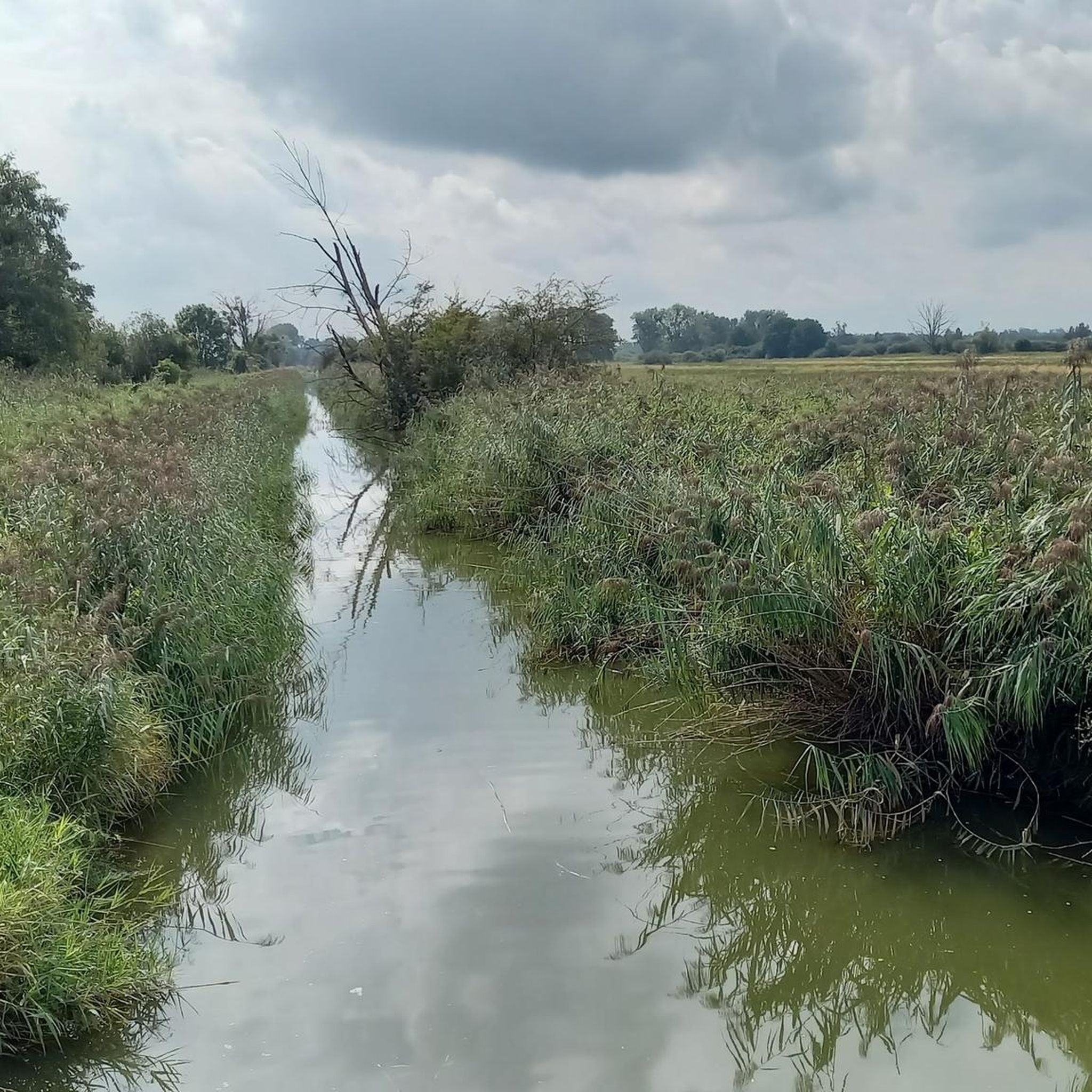
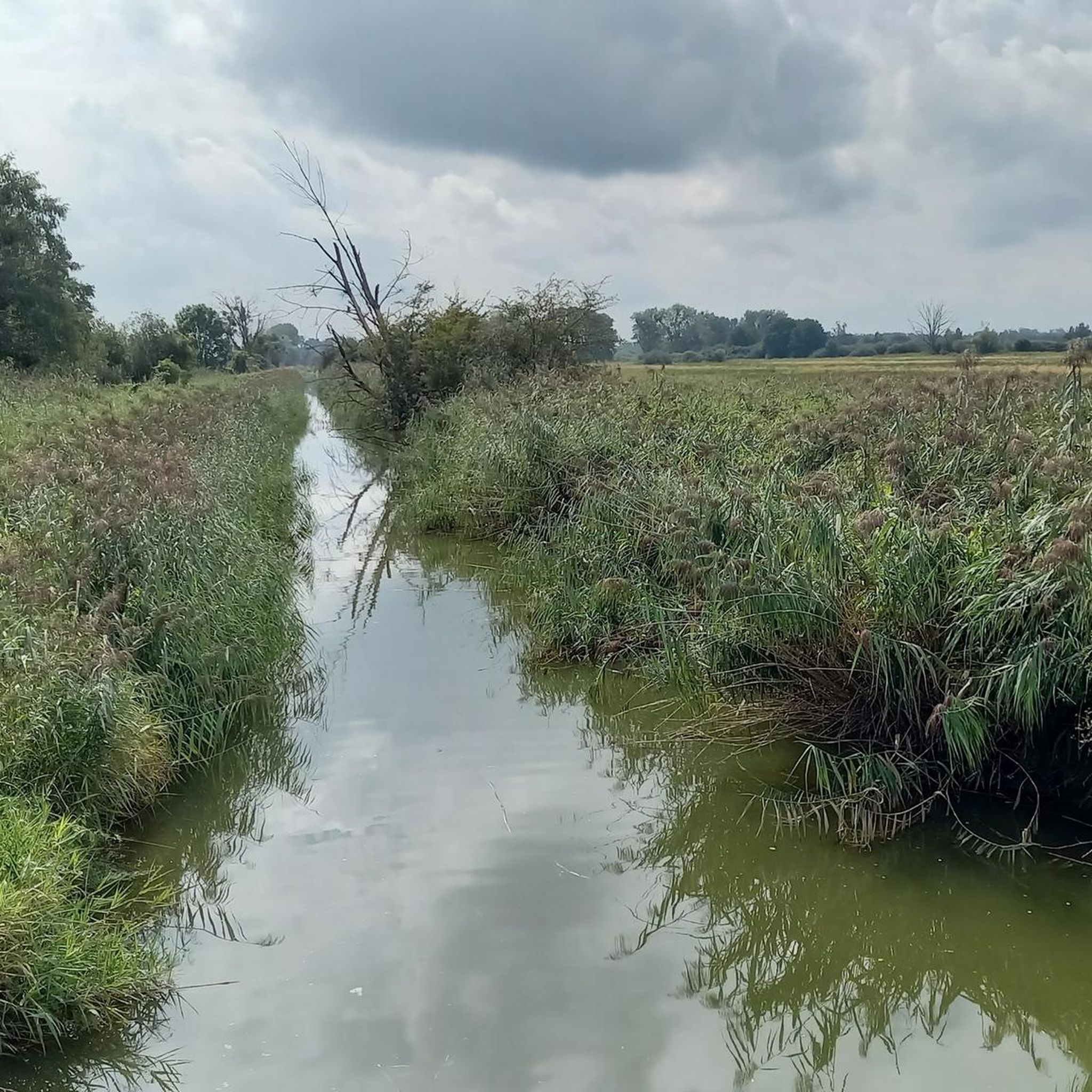
At first glance, the Drömling appears almost "flat and inconspicuous", but it is hydrologically very special. The area is crisscrossed by a dense network of ditches, canals, and drainage structures. These were originally created to make the swamps partially usable. Nevertheless, a large part of the typical wetland structure has been preserved.
0
0
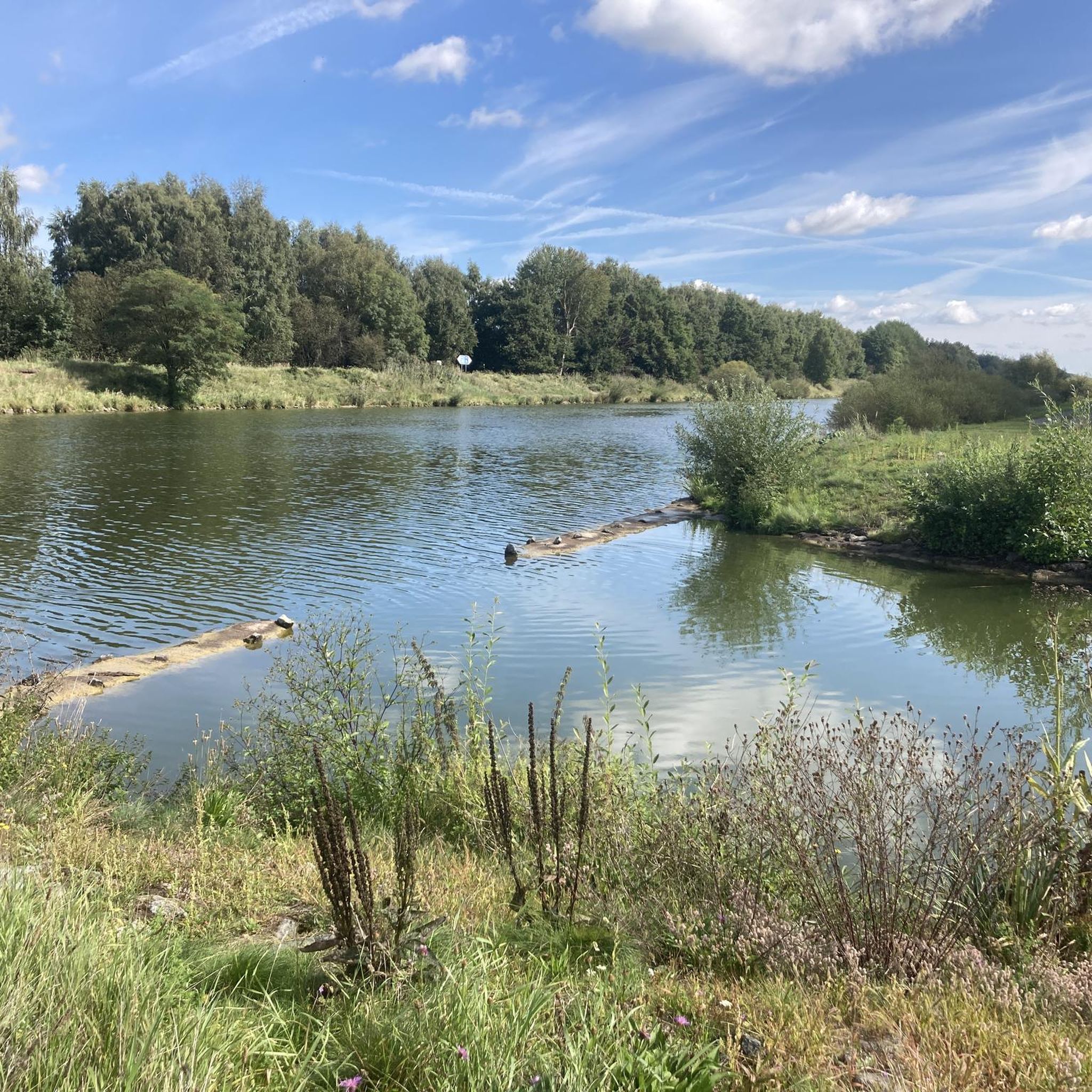
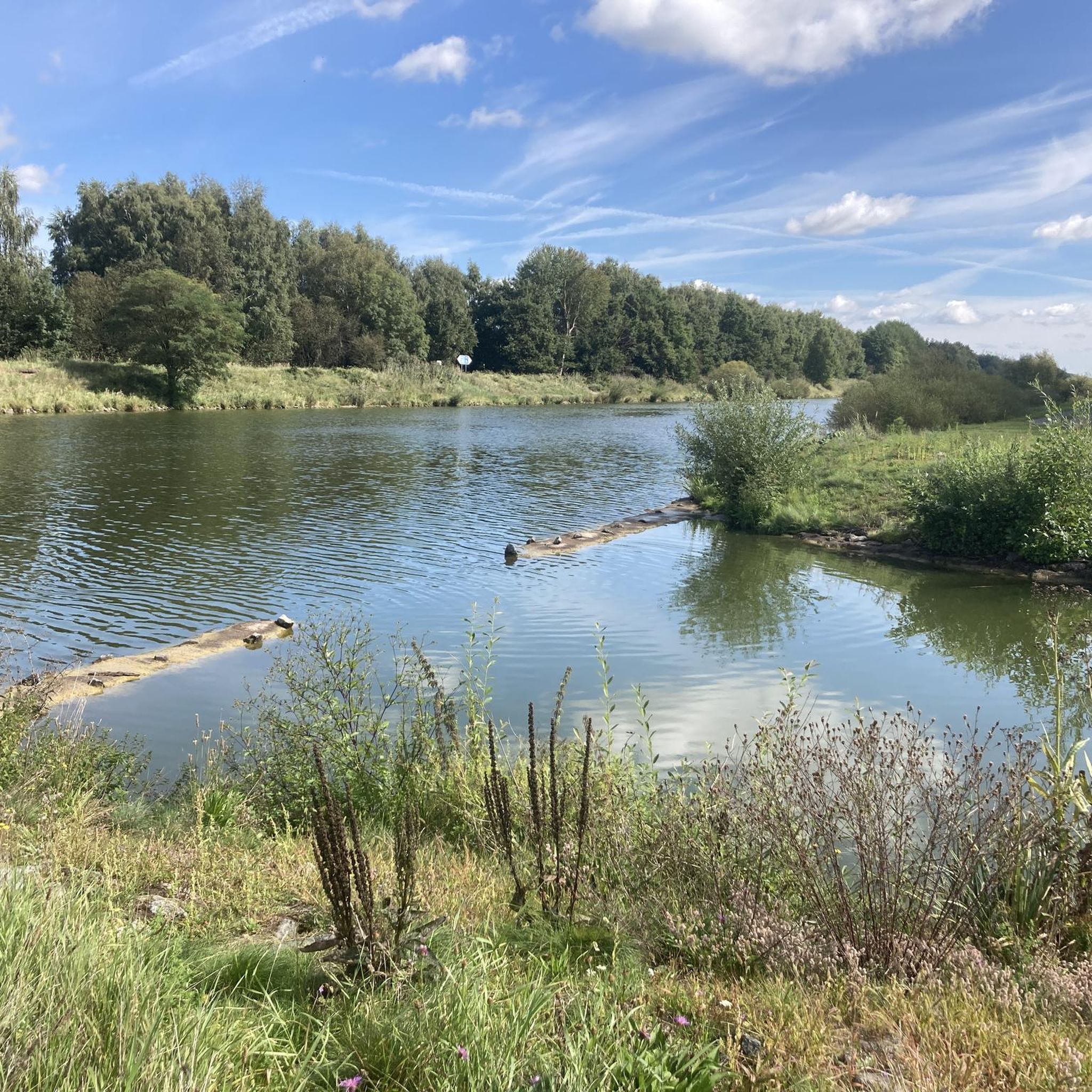
The Steimker Graben habitat island in Wolfsburg is a beautiful example of how nature can be preserved and enhanced in the middle of residential areas. A species-rich habitat has developed along the ditch, offering protection and food for insects, birds, and small animals.
0
0
The Ohre is a small but interesting border river in northern Germany. It runs partly along the former inner-German border and later flows into the Elbe.
0
0
In the southern Drömling near Buchhorst, it is worth taking a look along the ditches and meadows towards the pumping station – there are several white stork nests there, which are well integrated into the typical wetland landscape with canals and grassland. Especially in the morning or late afternoon, the storks can often be observed there searching for food as they commute between the nests and the meadows.
0
0
The parking lot is an ideal starting point for a tour through the flat but very varied wetland landscape of the Drömling Biosphere Reserve. From here, several well-marked hiking and cycling trails lead directly into the area with ditches, meadows, and floodplains – perfect for quiet nature observations.
0
0
Frequently Asked Questions
How many hiking trails are available in Breitenroder-Oebisfelder Drömling?
There are over 300 hiking routes available in Breitenroder-Oebisfelder Drömling. These range from easy walks to more challenging moderate hikes, offering diverse options for all fitness levels.
What kind of terrain can I expect on hikes in Breitenroder-Oebisfelder Drömling?
The region is known as the 'Land of a thousand ditches,' characterized by an intricate network of watercourses. You'll hike through a mosaic of alder marsh, alder-ash forests, wet meadows, and deciduous forests, providing a unique wetland experience.
Are there easy hiking options suitable for beginners or families?
Yes, Breitenroder-Oebisfelder Drömling offers over 200 easy hiking routes. These trails are generally accessible and suitable for shorter excursions, perfect for families or those looking for a relaxed walk. An example is the Stork Nest – Aller Canal loop from Ohre-Drömling, which is an easy 6.1 km path.
What is the best time of year to go hiking in Breitenroder-Oebisfelder Drömling?
The Drömling is beautiful year-round. Autumn is particularly impressive for bird migration, as thousands of geese and cranes use the area as a resting place. Winter offers opportunities to spot mute swans, whooper swans, goosanders, and cormorants. Spring and summer are ideal for enjoying the lush wetlands and diverse flora.
Can I observe wildlife while hiking in the Drömling?
Absolutely. Breitenroder-Oebisfelder Drömling is rich in wildlife. You can spot various birds like storks and herons, especially during migration. Beavers are active along the Aller Canal, and in the Roewitz Semi-Open Pasture Landscape, you might see Heck cattle, Konik horses, and red deer. Look out for stork nests in areas like Buchhorst and Hopfenhorst.
Are there any circular walks available in Breitenroder-Oebisfelder Drömling?
Yes, many trails in the Drömling are circular, allowing you to start and end at the same point. For a longer moderate option, consider the Ohre Border River – Drömling Wetlands loop from Buchhorst, which covers 18.0 km.
Are dogs allowed on the hiking trails?
Generally, dogs are welcome on trails in Breitenroder-Oebisfelder Drömling. However, as it is a UNESCO Biosphere Reserve with abundant wildlife, it's crucial to keep dogs on a leash to protect the local fauna and flora, especially in sensitive wetland areas and near observation points.
Are there any viewpoints or observation towers along the trails?
Yes, the region offers several facilities for expansive views. The Niedermoore Stauburg Observation Tower and the rebuilt Walbeck Border Tower provide excellent vantage points to observe the natural surroundings and its diverse wildlife. Some routes, like the Kaiserwinkel Observation Tower – Drömling Biosphere Reserve loop from Giebel (gemeindefreies Gebiet), specifically include observation towers.
What do other hikers enjoy most about hiking in Breitenroder-Oebisfelder Drömling?
The area is highly rated by the komoot community, with an average score of 4.6 stars from over 800 reviews. Hikers often praise the unique wetland environment, the opportunities for wildlife observation, and the well-maintained paths that allow for peaceful exploration of this UNESCO Biosphere Reserve.
Is there parking available at the trailheads?
Yes, accessibility for visitors has been enhanced, with new parking lots introduced in 2024 to serve the hiking trails. You will find designated parking areas at various starting points for your hikes.
What are the typical lengths of hiking routes in the Drömling?
Hiking routes in Breitenroder-Oebisfelder Drömling vary in length. You can find options for short excursions, typically up to 2 hours, as well as longer explorations that can take 5 hours or more. For example, the Stork Nest – Aller Canal loop from Ohre-Drömling is about 6.1 km, while the Ohre Border River – Drömling Wetlands loop from Buchhorst is 18.0 km.
Are there any places to eat or drink near the hiking trails?
While specific cafes or restaurants directly on the trails are limited due to the natural reserve status, you can find dining options in the nearby towns and villages surrounding the Breitenroder-Oebisfelder Drömling area. It's advisable to pack snacks and drinks for your hike.
Most popular routes in Breitenroder-Oebisfelder Drömling

Get inspired with the komoot mobile app


Explore more
Browse the best Hikes in other regions.
