The best MTB trails in Breitenroder-Oebisfelder Drömling
4.7
(155)
447
riders
66
rides
Mountain biking in Breitenroder-Oebisfelder Drömling offers routes through a unique wetland landscape, characterized by an extensive network of watercourses, moist forests, meadows, and moors. The region, a UNESCO Biosphere Reserve, features varied forest types including alder marsh and oak-hornbeam, with minimal elevation changes. This lowland area provides diverse ecosystems for mountain bike trails, suitable for exploring its natural features.
Best mountain bike trails in Breitenroder-Oebisfelder Drömling
- The most popular mountain bike trail is Giebelmoor loop from Rühen, a 23.0…
Last updated: June 27, 2026
4.2
(5)
10
riders
37.1km
02:12
50m
50m
Moderate mountain bike ride. Good fitness required. Suitable for all skill levels.
4.7
(9)
24
riders
33.6km
02:03
30m
30m
Moderate mountain bike ride. Good fitness required. Suitable for all skill levels.

Sign up for free
9
riders
22.6km
01:30
100m
100m
Moderate mountain bike ride. Great for any fitness level. Advanced riding skills necessary.
5.0
(2)
11
riders
80.1km
05:04
130m
130m
Hard mountain bike ride. Very good fitness required. Advanced riding skills necessary.
4.6
(5)
14
riders
Easy mountain bike ride. Great for any fitness level. Suitable for all skill levels.
Get access to more routes and recommendations from other explorers.
Sign up for free
Already have an account?
Our route recommendations are based on thousands of hikes, rides, and runs completed by other people on komoot.
Start today with a free account
Your next adventure awaits.
Login or Signup
Tips from the Community

A small tip: take a moment there and read the inscriptions carefully, if available – many of these monuments in the Drömling tell not only of the fallen, but also of how severely the small villages in the region were affected by the First World War. When you are there, it is also worth consciously perceiving the surroundings: the Drömling is today a very quiet, almost secluded landscape. This contrast between quiet nature and the place of remembrance often makes the visit particularly impressive.
0
0
The Ohre-Drömling nature reserve is located in the border region between Lower Saxony and Saxony-Anhalt and is one of the characteristic lowland wetlands of Northern Germany. At its center is the region around the Ohre River and the large moor and meadow area of the Drömling. The Drömling is an originally very marshy landscape that has been heavily altered over the centuries by drainage and agricultural use. Nevertheless, it has remained an important refuge for many animal and plant species to this day. Typical features include extensive ditches, wet meadows, swamp forests, and small streams.
0
0
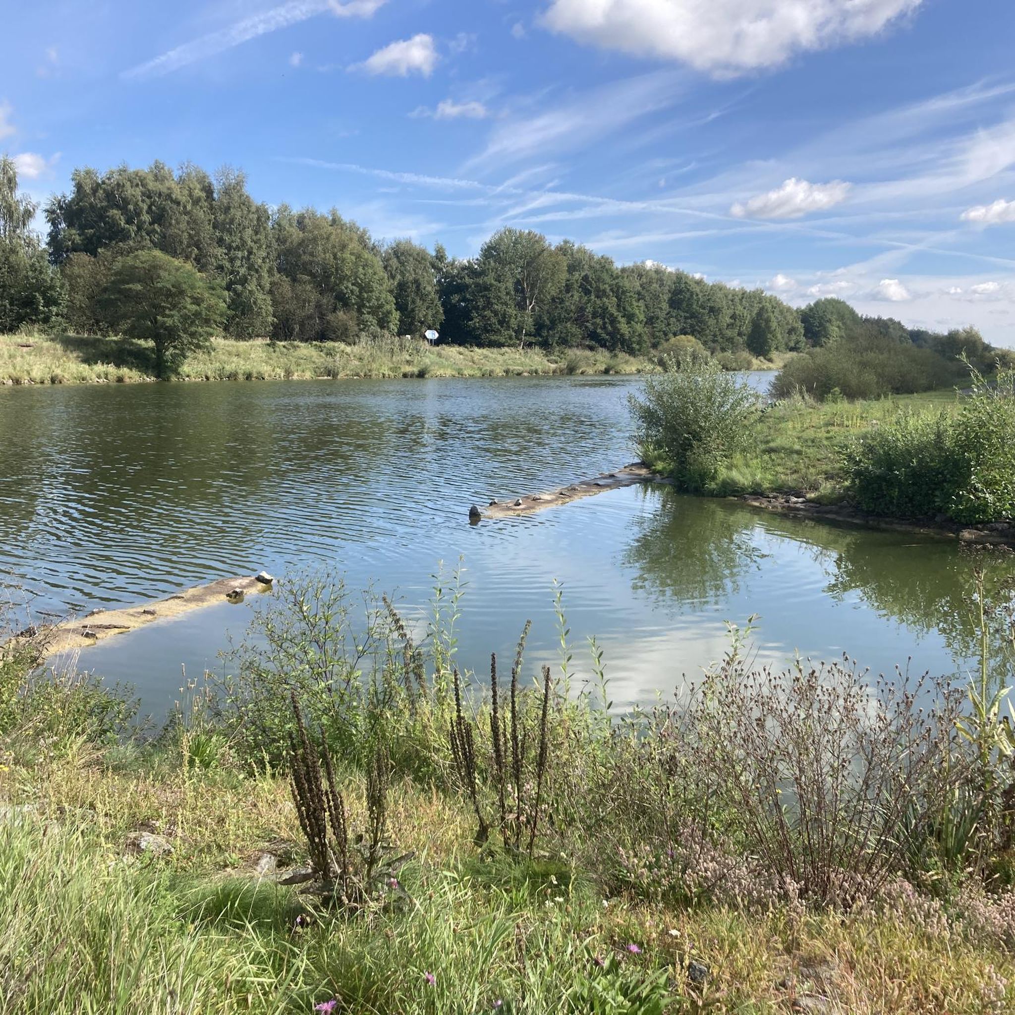
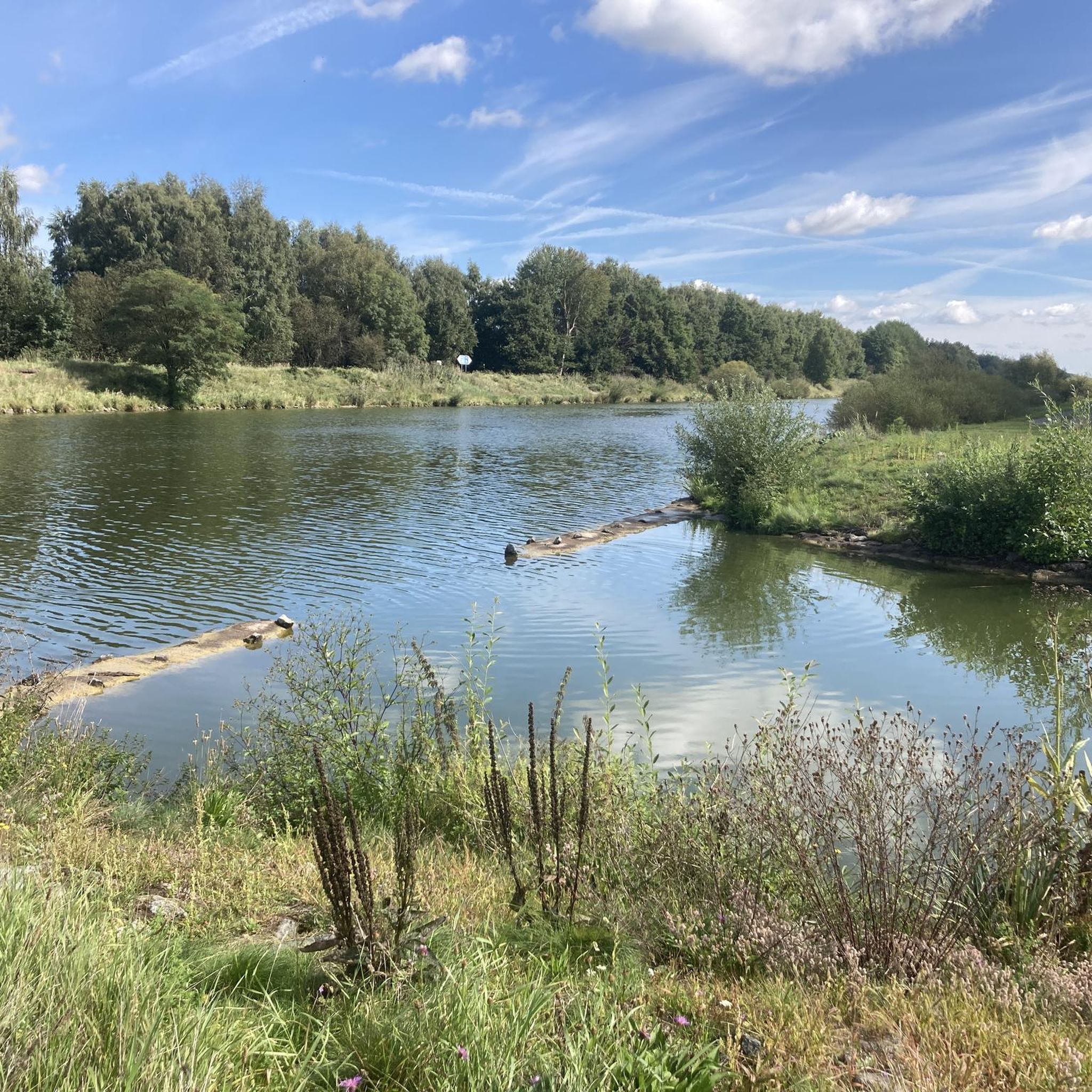
The small weir on the Aller near Grafhorst is a rather inconspicuous, but important structure for regulating the water level of the Aller. It ensures that the river is controlled and dammed up, while also helping with flood protection in the region.
0
0
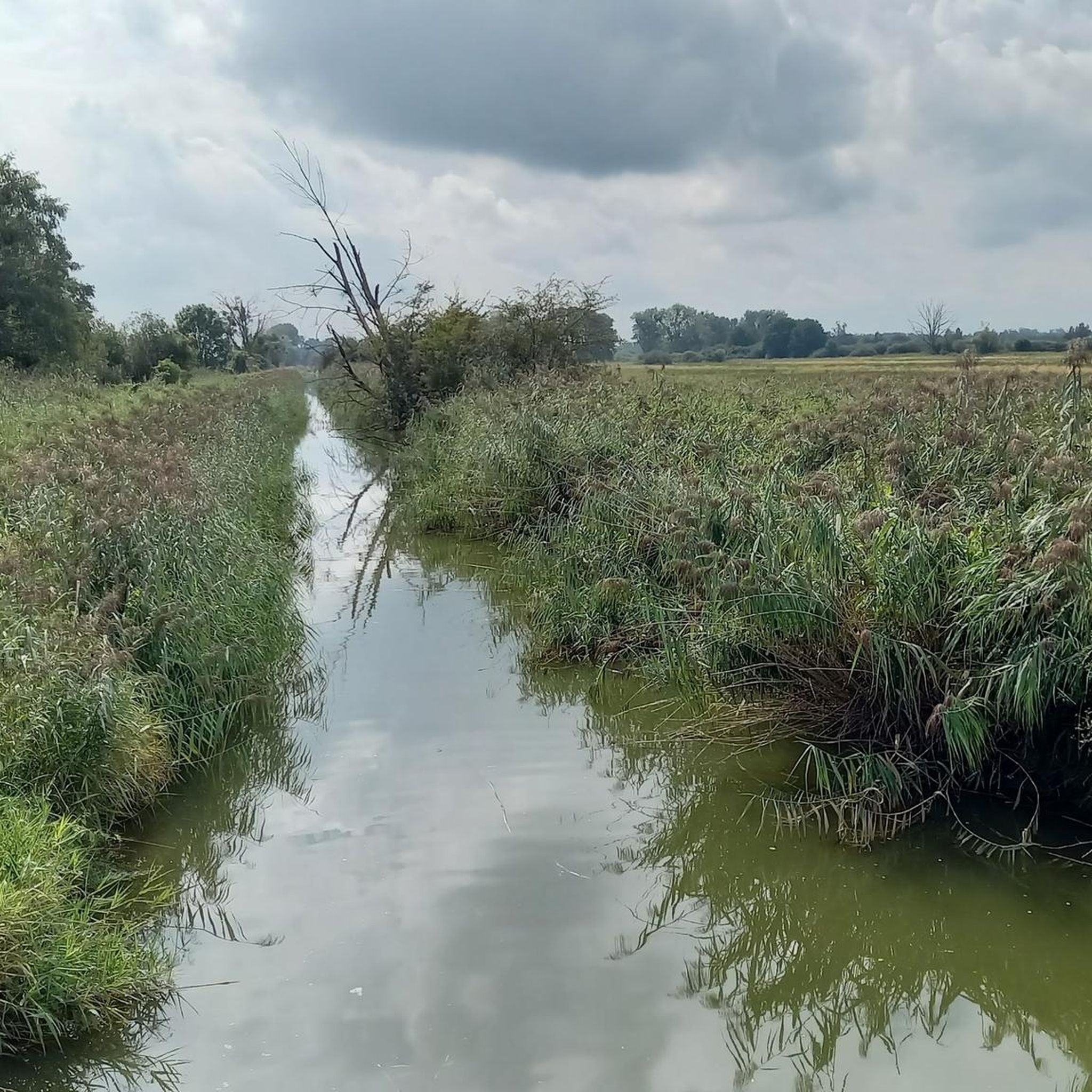
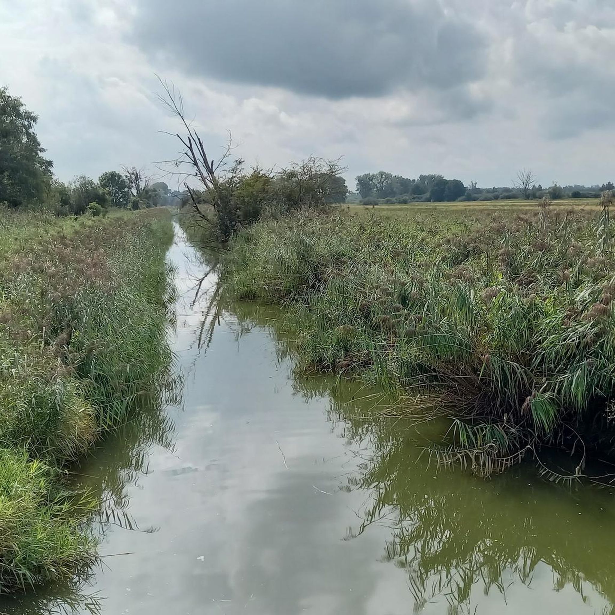
A nice tip for the route along the Steimker Graben: It's best to walk the route early in the morning or late in the afternoon, when it's quieter and the light is particularly pleasant. The route is well-suited for walking or cycling and offers plenty of greenery and a relaxed atmosphere right by the water – ideal for switching off for a while.
0
0

As I said, I would have liked to have seen it in peace, if it had been dry and I had had enough time.
0
0
It's a shame it was drizzling and I absolutely had to catch my train, otherwise I would have gladly taken my time again!
0
0
Very elaborate and created with great attention to detail.
0
0
The restaurant is located directly on the Mittellandkanal in the municipality of Rühen (near Wolfsburg-Vorsfelde). The outdoor area is particularly popular in summer, as you can sit directly on the bank and watch the ships go by. It is considered cozy and down-to-earth, often like a classic club-house restaurant (it is located directly at the sports field of SV Blau-Weiß Rühen) with a maritime flair due to its canal location.
0
0
Frequently Asked Questions
How many mountain bike trails are available in Breitenroder-Oebisfelder Drömling?
There are over 70 mountain bike trails in Breitenroder-Oebisfelder Drömling. The network includes 33 easy routes, 37 moderate routes, and 3 more challenging options, offering a diverse range for all skill levels.
What kind of terrain can I expect on mountain bike trails in Breitenroder-Oebisfelder Drömling?
The region is known for its unique wetland landscapes, often referred to as the 'land of a thousand ditches.' You'll encounter extensive networks of watercourses, moist forests (including alder marsh and oak-hornbeam), meadows, and moors. The terrain generally features minimal elevation changes, making for mostly flat to gently rolling rides through diverse ecosystems.
Are there any family-friendly mountain bike trails in the area?
Yes, with 33 easy routes available, Breitenroder-Oebisfelder Drömling offers many family-friendly options. These trails typically feature flat terrain and scenic paths through forests and along watercourses, suitable for riders of varying ages and abilities. An example of an easy route is the View of the Allersee – Northwest Beach, Allersee loop from Grafhorst, which is 27.2 km long.
What are some notable natural features or landmarks to look out for while mountain biking?
The Drömling is a UNESCO Biosphere Reserve, so you'll be riding through protected natural habitats. Keep an eye out for the extensive network of ditches and rivers, diverse forest types like alder marsh forests, and open meadows. The Giebelmoor is particularly densely wooded. You might also spot various bird species, including storks and herons, especially near observation towers like those in the Niedermoore Stauburg.
Are there any circular mountain bike routes in Breitenroder-Oebisfelder Drömling?
Yes, many of the trails in the region are designed as loops, allowing you to start and end at the same point. For example, the popular Giebelmoor loop from Rühen is a 37.1 km moderate route, and the Allersee – View of the Allersee loop from Grafhorst is a 33.6 km moderate loop offering scenic views.
What do other mountain bikers enjoy most about riding in Breitenroder-Oebisfelder Drömling?
The area is highly rated by the komoot community, with an average score of 4.6 stars from over 150 reviews. Riders frequently praise the unique wetland landscapes, the peaceful atmosphere of the moist forests and meadows, and the well-maintained trails that offer a great way to experience the diverse ecosystems of this UNESCO Biosphere Reserve.
Are dogs allowed on the mountain bike trails?
While the Drömling is a nature park and UNESCO Biosphere Reserve, dogs are generally allowed on trails if kept on a leash. This helps protect the diverse wildlife, including rare and endangered species. Always ensure your dog is under control and respect local signage regarding protected areas.
Are there any longer mountain bike tours for experienced riders?
Yes, for those seeking a longer challenge, there are routes like the difficult Kunrau Castle – View of the Mittelland Canal loop from Oebisfelde, which spans 84 km. This route offers an extended exploration of the region's landscapes and cultural points of interest.
What is the best time of year to go mountain biking in Breitenroder-Oebisfelder Drömling?
The Drömling region is beautiful year-round, but spring and autumn often offer the most pleasant conditions for mountain biking. In spring, you can witness the awakening of nature and observe many bird species. Autumn provides vibrant colors and cooler temperatures. Summers are also suitable, but be prepared for potentially warmer weather and more insects due to the wetland environment.
Are there any historical attractions or points of interest along the routes?
Yes, beyond the natural beauty, the region offers historical sites. The 'Oebisfelder Sumpfburg' (moated castle), one of Europe's oldest preserved moated castles, is a significant attraction that can be incorporated into cycling routes. Information boards along paths also provide context about the area's history and development.
Where can I find parking for mountain biking in Breitenroder-Oebisfelder Drömling?
Parking is typically available at various entry points to the Drömling region and near larger towns like Oebisfelde or Grafhorst, which serve as common starting points for many routes. Specific parking information can often be found on individual route pages or local tourist information websites.
Are there cafes or places to eat near the mountain bike trails?
While the Drömling is sparsely populated, you will find cafes and restaurants in the surrounding villages and towns, such as Oebisfelde, Grafhorst, or Rühen. These locations are often starting or ending points for tours, making them convenient for refreshments before or after your ride.
Most popular routes in Breitenroder-Oebisfelder Drömling

Get inspired with the komoot mobile app


Explore more
Browse the best MTB trails in other regions.
