The best road cycling routes in Kopperhaugene Og Vindernhøgda Friluftslivsområde
4.5
(5)
767
riders
5
rides
Road cycling in Kopperhaugene Og Vindernhøgda Friluftslivsområde offers routes through hilly and forested landscapes near Oslo. The region features significant elevation changes, with prominent hills like Kobberhaugene (526 m) and Vindernhøgda (489 m). These areas provide challenging climbs and descents, characteristic of the broader Marka forests surrounding Oslo. The road cycling routes in Kopperhaugene Og Vindernhøgda Friluftslivsområde connect to a larger network, offering diverse terrain.
Best road cycling routes in Kopperhaugene Og Vindernhøgda Friluftslivsområde
- The most popular road cycling route is Voksenåsen – Holmenkollen Ski Jump loop from Lillevann, a 35.5 miles (57.1 km) trail that takes 3 hours 1 minute to complete. This route features significant elevation gain through forested areas.
- Another top favourite among local road cyclists is Bogstad Manor loop from Gulleråsen, a moderate 23.8 miles (38.3 km) path. This route passes by historical sites and offers varied terrain.
- Local road cyclists also love the Holmenkollen Ski Jump – Vigeland Sculpture Park loop from Holmenkollen, a 37.4 miles (60.2 km) trail leading through urban and natural landscapes, often completed in about 2 hours 58 minutes.
- Road cycling in Kopperhaugene Og Vindernhøgda Friluftslivsområde is defined by hilly terrain, forested landscapes, and panoramic views. The network offers options for different ability levels, from moderate to difficult.
- The routes in Kopperhaugene Og Vindernhøgda Friluftslivsområde are highly rated by the komoot community with an average score of 4.0 stars from a few reviews. More than 700 road cyclists have used komoot to explore Kopperhaugene Og Vindernhøgda Friluftslivsområde's varied terrain.
Last updated: October 22, 2026
17
riders
44.1km
02:12
610m
610m
Moderate road ride. Good fitness required. Mostly well-paved surfaces and easy to ride.
38
riders
39.1km
02:01
550m
550m
Moderate road ride. Good fitness required. Some segments of this route may be unpaved and difficult to ride.

21
riders
Moderate road ride. Good fitness required. Some segments of this route may be unpaved and difficult to ride.
10
riders
29.3km
01:25
350m
350m
Moderate road ride. Good fitness required. Some segments of this route may be unpaved and difficult to ride.
7
riders
140km
06:24
1,350m
1,350m
Hard road ride. Very good fitness required. Some segments of this route may be unpaved and difficult to ride.
Our route recommendations are based on thousands of hikes, rides, and runs completed by other people on komoot.
Start today with a free account
Your next adventure awaits.
Popular around Kopperhaugene Og Vindernhøgda Friluftslivsområde
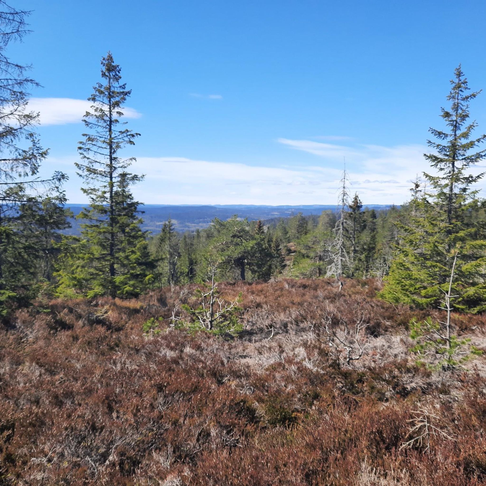
Hiking in Kopperhaugene Og Vindernhøgda Friluftslivsområde
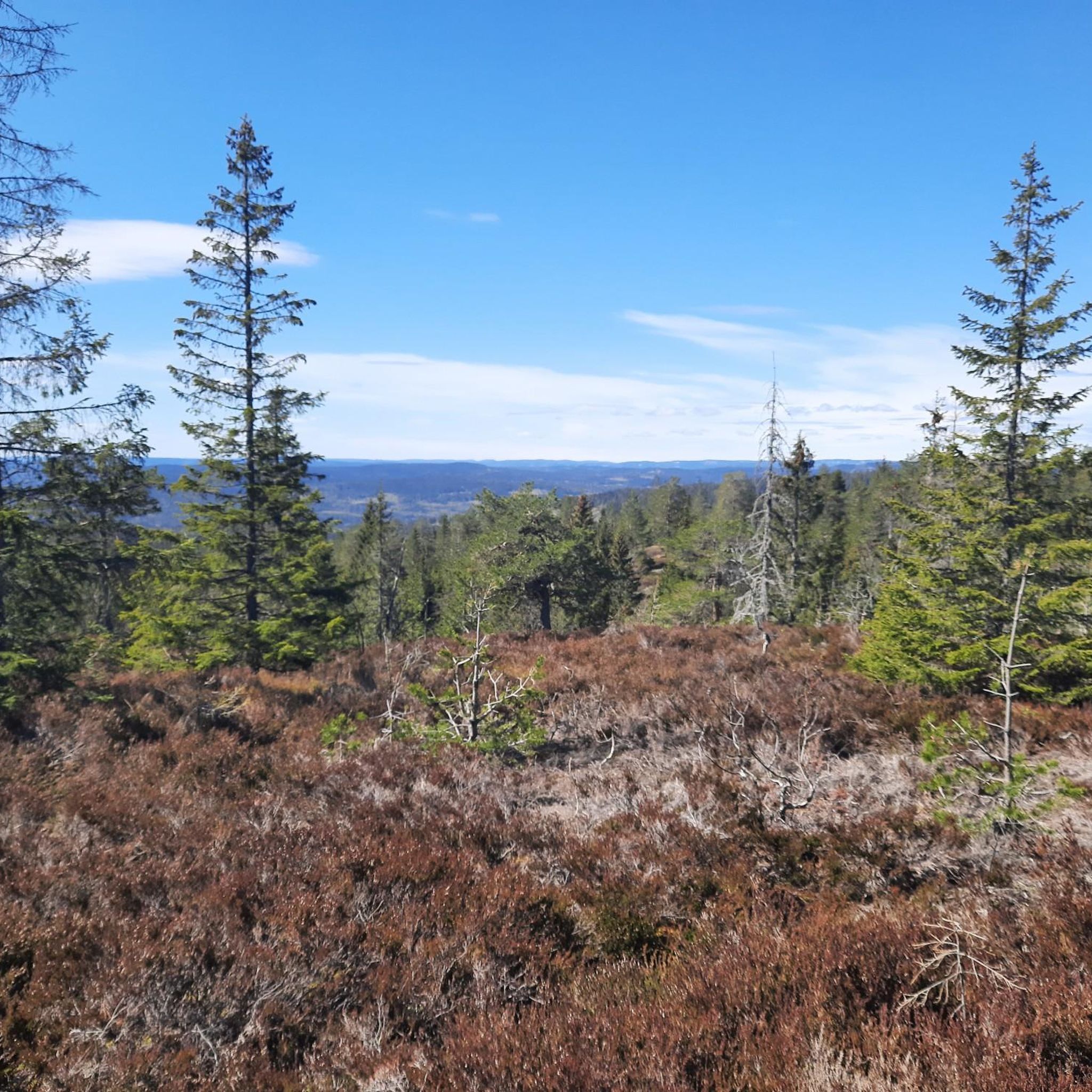
Cycling in Kopperhaugene Og Vindernhøgda Friluftslivsområde
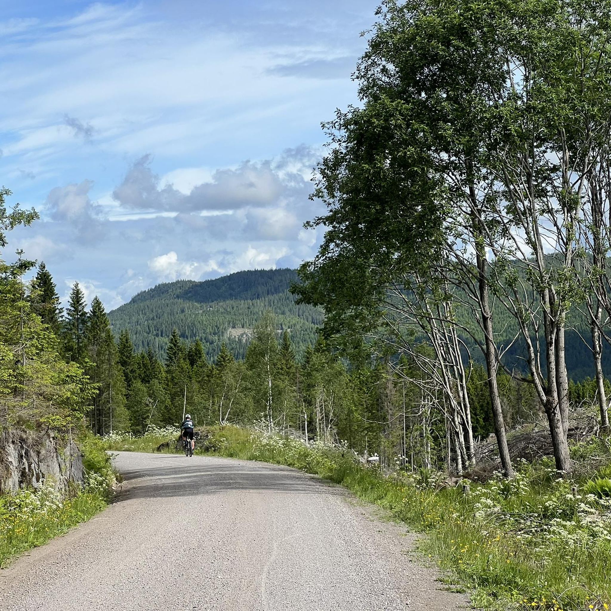
MTB Trails in Kopperhaugene Og Vindernhøgda Friluftslivsområde
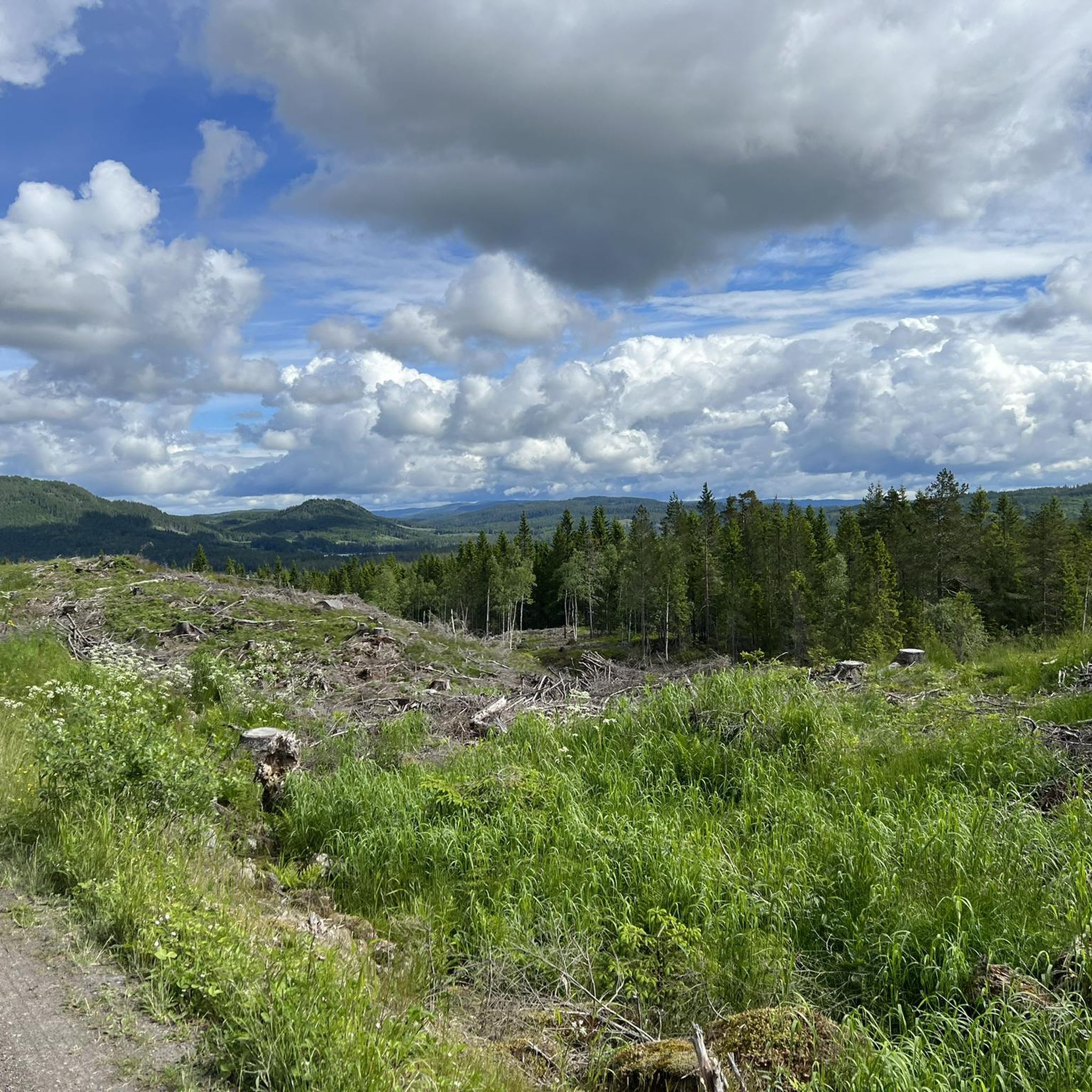
Running Trails in Kopperhaugene Og Vindernhøgda Friluftslivsområde

Gravel biking in Kopperhaugene Og Vindernhøgda Friluftslivsområde
Tips from the Community

Bånkallia Nature Trail combines an easy woodland walk with interpretive signs about the area's forests, wildlife, plants and cultural history. It's an enjoyable route for families and anyone looking to learn more about the natural and cultural heritage of the Grorud Valley.
0
0
One of the oldest historic farms in the Grorud Valley, Bånkall Farm is now home to a popular café serving seasonal food, homemade cakes and locally sourced ingredients. It's a great place to take a break before or after exploring the surrounding woodland trails.
0
0

This is a pilgrim shelter located right on the Gudbrandsdalsleden and Tunsbergleden routes in Bærum. The hut offering basic accommodation with sleeping spots in the loft, shower and toilet facilities.
0
0
Kadettangen is one of Bærum’s most popular waterfront recreation areas, known for its sandy beach, swimming facilities and open green spaces. The diving platform is a favourite summer attraction, offering a refreshing way to enjoy the clear waters of the Oslofjord.
0
0
Completed in 1926 and later expanded, Bærum Town Hall is one of Sandvika’s most distinctive public buildings. Outside, you’ll find Friheten (“Freedom”), Arnold Haukeland’s striking equestrian sculpture, which has become a local landmark and an important example of modern Norwegian public art.
0
0

Well-visited and yet there never is a feeling of crowding here... For friends of the well-maintained selfie... the ideal posing spot...😉
3
1

A narrow path along the Sandvikselva river. The banks and the riverbed are still in their natural state here.
0
0
The Sandvika small boat harbor („Småbåtshavn“) is a marina used by local residents and visitors for mooring leisure boats and accessing the Oslofjord.
0
0
Frequently Asked Questions
How many road cycling routes are available in Kopperhaugene Og Vindernhøgda Friluftslivsområde?
There are 6 road cycling routes detailed in Kopperhaugene Og Vindernhøgda Friluftslivsområde, offering a variety of experiences through the region's hilly and forested landscapes.
What kind of terrain can I expect when road cycling in this region?
Road cycling in Kopperhaugene Og Vindernhøgda Friluftslivsområde is characterized by hilly and forested landscapes. You'll encounter significant elevation changes, with prominent hills like Kobberhaugene (526 m) and Vindernhøgda (489 m), providing both challenging climbs and rewarding descents. The routes are generally paved, connecting to the broader Oslo cycling network.
Are there routes suitable for beginners or less experienced road cyclists?
Yes, there is one easy route available. The Water Tap loop from Gråkammen is a good option, covering 22.8 km with 287 meters of elevation gain, making it suitable for those looking for a less strenuous ride.
Where can I find challenging road cycling routes in Kopperhaugene Og Vindernhøgda Friluftslivsområde?
For a more challenging experience, consider routes with significant elevation. The Voksenåsen – Holmenkollen Ski Jump loop from Lillevann, for example, covers 57.1 km with 875 meters of elevation gain, offering a substantial workout through forested areas.
Are there any scenic viewpoints or landmarks along the road cycling routes?
The hilly terrain around Kopperhaugene Og Vindernhøgda Friluftslivsområde, similar to areas like Holmenkollen, offers panoramic city and fjord vistas. Routes like the Holmenkollen Ski Jump – Vigeland Sculpture Park loop from Holmenkollen pass by iconic landmarks such as the Holmenkollen Ski Jump and the Vigeland Sculpture Park, blending natural beauty with cultural sights.
What is the best time of year for road cycling in this region?
The best time for road cycling is typically during the warmer months, from spring through autumn, when the roads are clear of snow and ice. The forested landscapes are particularly beautiful during these seasons. Winter cycling is possible but requires appropriate gear and caution due to potential snow and icy conditions.
Are there any circular road cycling routes available?
Yes, many of the routes in the region are designed as loops, allowing you to start and end at the same point. Examples include the Voksenåsen – Holmenkollen Ski Jump loop from Lillevann and the Bogstad Manor loop from Gulleråsen.
Is public transport available to access the road cycling routes?
Kopperhaugene Og Vindernhøgda Friluftslivsområde is well-integrated into the wider Oslo region's transport network. While specific stops vary by route, Oslo's public transport system (buses, trams, and metro) can often get you close to starting points for many cycling routes in the surrounding Marka forests.
What do other road cyclists enjoy most about road cycling in Kopperhaugene Og Vindernhøgda Friluftslivsområde?
The area is highly rated by the komoot community, with an average score of 4.0 stars. Reviewers often praise the challenging climbs, scenic descents, and the blend of forested natural environments with views of the city and fjord. The diverse terrain caters to various fitness levels.
Are there any family-friendly road cycling options in the area?
While the region is known for its hilly terrain, the Water Tap loop from Gråkammen is an easy route that could be suitable for families with older children or those looking for a less demanding ride. It's always recommended to check the route profile for elevation and distance to ensure it matches your family's ability.
Are there any specific permits required for road cycling in Kopperhaugene Og Vindernhøgda Friluftslivsområde?
Generally, no specific permits are required for road cycling on public roads within Kopperhaugene Og Vindernhøgda Friluftslivsområde or the broader Marka forests. However, always respect local regulations and private property signs, especially if venturing off designated routes.
Can I find cafes or places to stop for refreshments along the routes?
While the immediate 'friluftslivsområde' is primarily natural, its proximity to Oslo means that many routes will pass through or near areas with cafes, restaurants, and shops, especially closer to urban centers or popular viewpoints like Holmenkollen. Planning your route with potential stops in mind is advisable.
Most popular routes in Kopperhaugene Og Vindernhøgda Friluftslivsområde

Get inspired with the komoot mobile app


Explore more
Browse the best Road cycling routes in other regions.
