The best running trails in Canning River Regional Park
4.7
(17)
2,815
runners
67
runs
Jogging in Canning River Regional Park offers access to a diverse natural environment just southeast of Perth's CBD. The park features predominantly flat terrain, making it suitable for various fitness levels, with a mix of sealed paths and less-defined trails along the riverbanks. The landscape is characterized by wetlands, dense woodlands, and the meandering Canning River, providing varied scenery for runners. This area is a significant wetland habitat, supporting diverse plant and bird species.
Best jogging routes in Canning River Regional Park
- The most popular jogging route is Canning River Regional Park loop from Wilson Park, a 3.4 miles (5.5 km) trail that takes 34 minutes to complete. This route offers a gentle loop through the park's natural setting.
- Another top favourite among local runners is Shelley Water loop from Canning River Regional Park, a moderate 3.4 miles (5.5 km) path. This trail features mostly paved surfaces with minimal elevation gain, suitable for all skill levels.
- Local runners also love the Canning River loop from Canning River Regional Park, a 4.8 miles (7.8 km) trail leading through riverine landscapes, often completed in about 48 minutes.
- Jogging in Canning River Regional Park is defined by serene river views, diverse wetland ecosystems, and accessible flat terrain. The network offers options for different ability levels, from easy loops to longer, more challenging runs.
- The routes in Canning River Regional Park are highly rated by the komoot community with an average score of 4.9 stars from over 60 reviews. More than 6,400 runners have used komoot to explore Canning River Regional Park's varied terrain.
Last updated: October 21, 2026
87
runners
8.38km
00:52
20m
20m
Moderate run. Good fitness required. Mostly paved surfaces. Suitable for all skill levels.
78
runners
5.50km
00:34
10m
10m
Moderate run. Good fitness required. Mostly paved surfaces. Suitable for all skill levels.

50
runners
5.46km
00:34
10m
10m
Moderate run. Good fitness required. Mostly paved surfaces. Suitable for all skill levels.
5.0
(1)
18
runners
7.67km
00:47
20m
20m
Moderate run. Good fitness required. Mostly paved surfaces. Suitable for all skill levels.
21
runners
13.0km
01:21
20m
20m
Moderate run. Good fitness required. Mostly paved surfaces. Suitable for all skill levels.
Get access to more routes and recommendations from other explorers.
Already have an account?
Our route recommendations are based on thousands of hikes, rides, and runs completed by other people on komoot.
Start today with a free account
Your next adventure awaits.
Popular around Canning River Regional Park
Tips from the Community

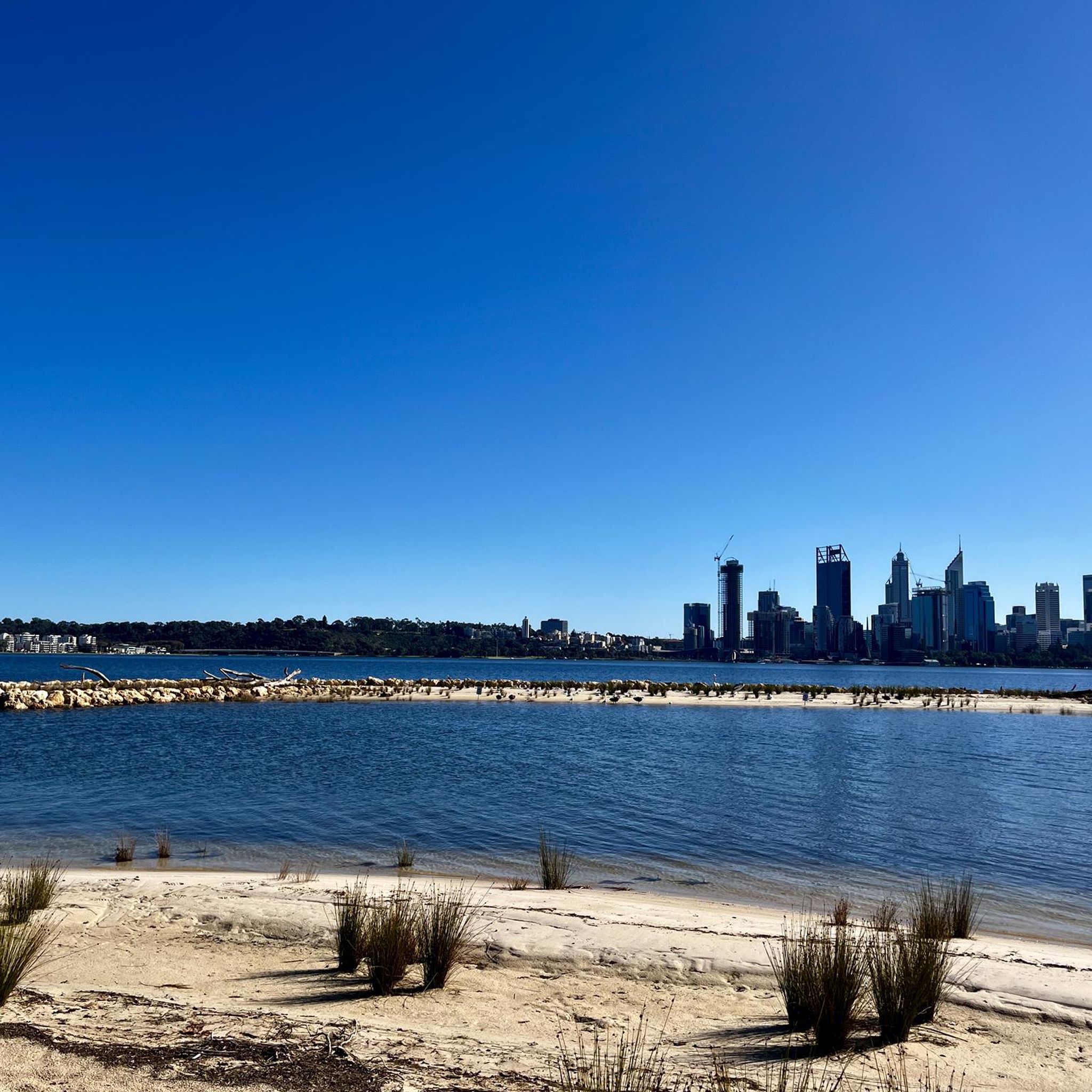
The Shelley Jetty is a wooden jetty in Shelley Beach Park that has a ladder at the end for swimmers or boaters. It has peaceful views and is just across from some public restrooms.
0
0
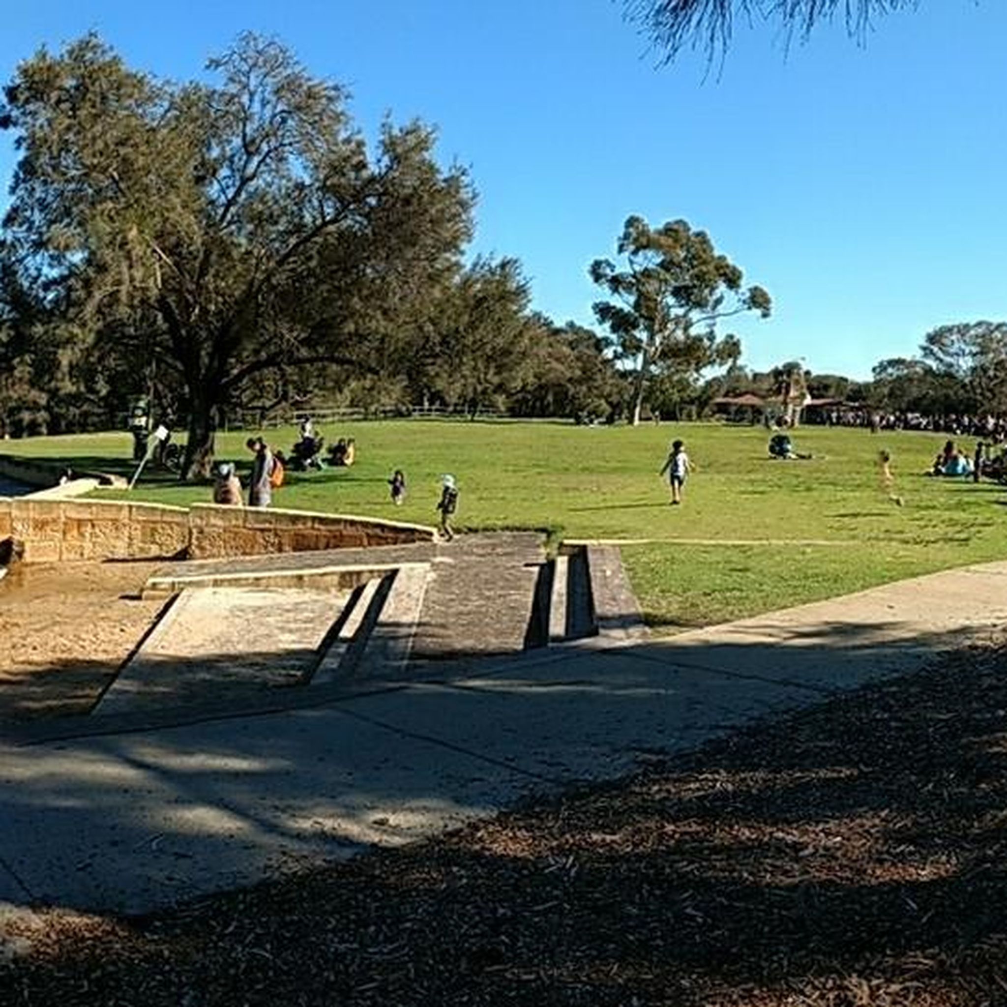
This large conserved greenspace is made up of forests, marshlands and a park, spanning almost 100 hectares. Fern Park sitting on its northern end with amenities like shaded picnic areas, BBQs, restrooms, and the Lo Quay River Cafe.
0
0
Frequently Asked Questions
How many jogging routes are available in Canning River Regional Park?
Canning River Regional Park offers a wide variety of running experiences, with nearly 100 routes available. These range from easy, flat paths to more challenging, longer runs, catering to all fitness levels. You'll find options for a quick jog or a longer exploration of the park's diverse landscapes.
What kind of terrain can I expect on the running trails?
The park is predominantly flat, making it very accessible for runners. You'll encounter a mix of sealed, well-signed paths, less-defined trails along the riverbanks, and sections with concrete, bitumen, boardwalks, and bridges. This variety ensures a dynamic and engaging running experience through wetlands, woodlands, and riverine landscapes.
Are there any family-friendly jogging routes in the park?
Yes, Canning River Regional Park is excellent for families. Many routes are flat and well-maintained, suitable for all ages. The 4km Butterflies, Birds & Bridges Loop Trail, starting from Kent Street Weir, is particularly popular and wheelchair-friendly, offering an enjoyable experience for everyone. The park also features picnic areas and playgrounds, making it a great family outing.
Can I bring my dog on the jogging trails?
Canning River Regional Park is generally dog-friendly, but it's important to check local signage for specific regulations regarding leashing and restricted areas. Many trails allow dogs on a leash, providing a great opportunity to enjoy a run with your canine companion amidst the natural beauty of the park.
What are some notable landmarks or natural features to look out for while running?
As you jog through the park, you'll encounter several points of interest. The Kent Street Weir is a central hub with amenities and a starting point for trails. You'll also experience the meandering Canning River, lush wetlands, and diverse woodlands. Keep an eye out for the historic Woodloes Homestead and various wetland boardwalks that offer close-up views of the river ecology and birdlife.
Are there any circular jogging routes available?
Yes, the park features several excellent circular routes. A popular option is the Canning River loop from Canning River Regional Park, which is 4.8 miles (7.8 km) long and takes you through beautiful riverine landscapes. Another great choice is the Shelley Water loop from Canning River Regional Park, a moderate 3.4 miles (5.5 km) path with mostly paved surfaces.
Where can I park when visiting Canning River Regional Park for a run?
The park is well-equipped with accessible parking facilities. Key areas like Kent Street Weir and Mariamup Street Parkland offer convenient parking options, providing easy access to various trailheads. These spots are often good starting points for your run.
What is the best time of year to go jogging in Canning River Regional Park?
The park is enjoyable year-round, but the cooler months (autumn and spring) are particularly pleasant for jogging, offering mild temperatures. During summer, early mornings or late afternoons are ideal to avoid the heat. The diverse flora and fauna provide different scenic experiences throughout the seasons.
Are there any facilities or cafes nearby for after my run?
Yes, the park offers several amenities. The Kent Street Weir area is a hub with picnic areas, BBQs, and the Canning River Cafe, perfect for a post-run refreshment. You'll also find accessible toilets, water fountains, and shade shelters throughout the park for your convenience.
What do other runners enjoy most about jogging in Canning River Regional Park?
The running routes in Canning River Regional Park are highly rated by the komoot community, with an average score of 4.8 stars from over 60 reviews. Runners often praise the serene river views, the diverse wetland ecosystems, and the accessible flat terrain. The variety of paths, from sealed to less-defined, and the abundant wildlife spotting opportunities are also frequently highlighted as major draws.
Are there any longer, more challenging running routes for experienced runners?
While many routes are flat, the park does offer options for longer distances. For a more challenging run, consider the View of the Canning River loop from Niana Station, which spans approximately 16.7 miles (26.9 km) and features more elevation gain. This route provides an extensive exploration of the park's wider area.
Most popular routes in Canning River Regional Park

Get inspired with the komoot mobile app


Explore more
Browse the best Running Trails & Routes in other regions.
