The best road cycling routes in Canning River Regional Park
4.6
(128)
5,358
riders
61
rides
Road cycling in Canning River Regional Park offers diverse landscapes along the Canning River, providing a tranquil urban retreat. The park features a mix of paved and unpaved shared paths, with many routes offering consistently flat terrain. Cyclists can explore wetlands, woodlands, and river foreshores, connecting various parklands. The area is generally flat, making it accessible for different fitness levels.
Best road cycling routes in Canning River Regional Park
- The most popular road cycling route is Mount Henry Bridge loop from Niana Station, an 89.7 miles (144.4 km) trail that takes 5 hours 42 minutes to complete. This difficult route includes varied terrain and significant elevation changes.
- Another top favourite among local road cyclists is Elizabeth Quay Bridge – Perth Water Bike Trail loop from Niana Station, a moderate 45.5 miles (73.2 km) path. This route offers views along the Perth Water Bike Trail and takes approximately 3 hours 31 minutes.
- Local road cyclists also love the View of Perth Skyline – Zig Zag Scenic Drive loop from Canning Junction, a 49.8 miles (80.2 km) trail leading through areas with panoramic views, often completed in about 4 hours 8 minutes.
- Road cycling in Canning River Regional Park is defined by river foreshores, diverse wetlands, and shared urban paths. The network offers options for different ability levels, from easy, flat rides to more challenging routes with greater distances.
- The routes in Canning River Regional Park are highly rated by the komoot community with an average score of 4.7 stars from over 100 reviews. More than 5,000 road cyclists have used komoot to explore Canning River Regional Park's varied terrain.
Last updated: July 15, 2026
4.0
(1)
193
riders
138km
05:26
360m
360m
Hard road ride. Very good fitness required. Mostly well-paved surfaces and easy to ride.
40
riders
72.4km
03:30
410m
410m
Moderate road ride. Good fitness required. Mostly well-paved surfaces and easy to ride.

Sign up for free
46
riders
79.0km
04:03
910m
910m
Hard road ride. Very good fitness required. Some segments of this route may be unpaved and difficult to ride.
6
riders
32.2km
01:35
220m
220m
Easy road ride. Great for any fitness level. Mostly well-paved surfaces and easy to ride.
6
riders
85.2km
03:31
330m
330m
Moderate road ride. Good fitness required. Mostly well-paved surfaces and easy to ride.
Get access to more routes and recommendations from other explorers.
Sign up for free
Already have an account?
Our route recommendations are based on thousands of hikes, rides, and runs completed by other people on komoot.
Start today with a free account
Your next adventure awaits.
Login or Signup
Popular around Canning River Regional Park

Tips from the Community

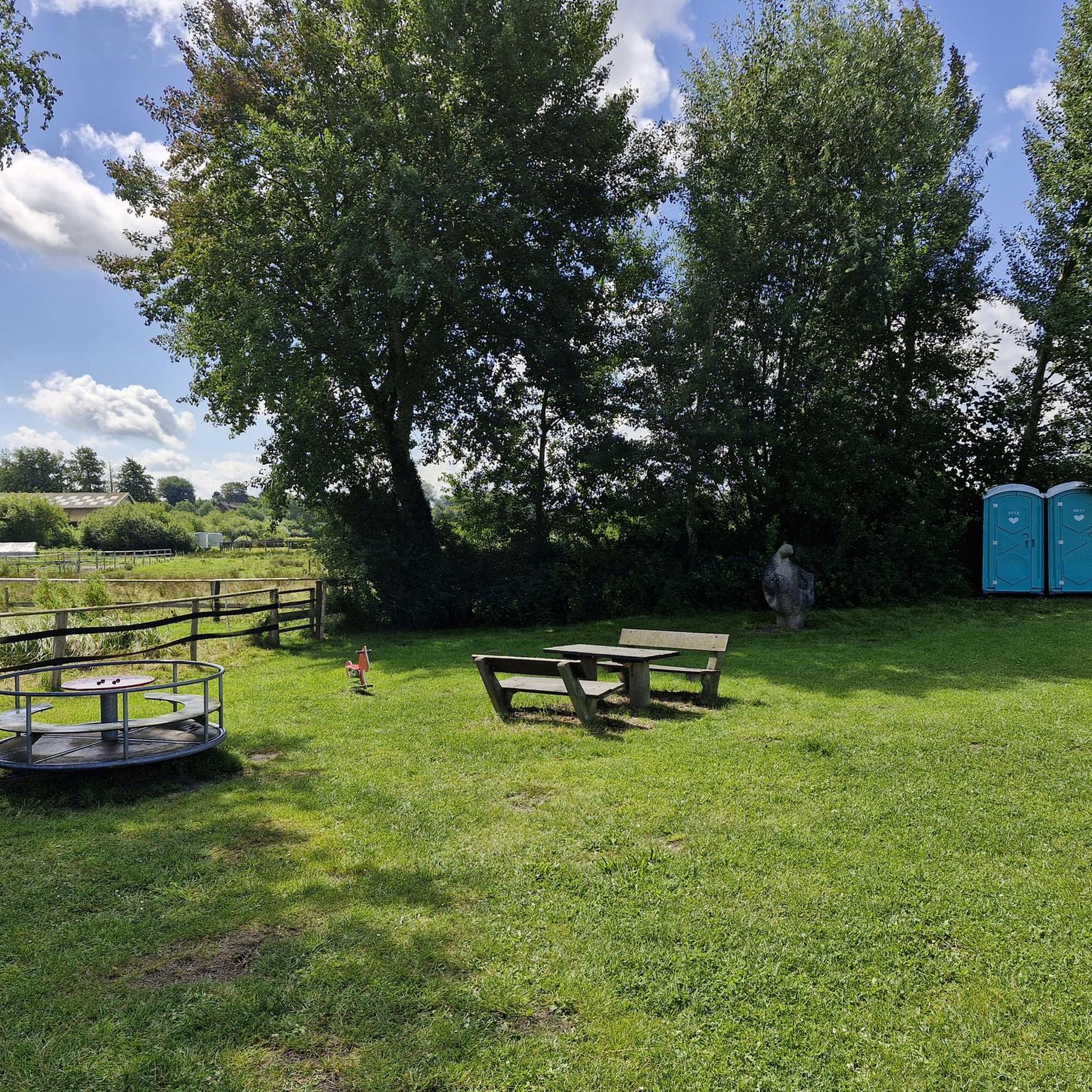
Mount Henry Bridge Reserve sits directly in the shadow of the historic Mount Henry Bridge. It's a popular riverside stop for families, fitness enthusiasts, and walkers and has public toilets, manicured grassy picnic fields, some park benches, and a large car park. The kids' playgrounds here are a stand-out amenity, with modern design including shade sails. For adults, there's free fitness equipment, the Mount Henry Jetty and the Kerbside Café.
0
0

The Bibbulmun Track northern terminus marks the official beginning of one of Australia’s great long-distance walks, stretching about one thousand kilometres from Kalamunda to Albany on Western Australia’s south coast. The trail is named after the Bibbulmun people of the Noongar Nation, and walkers are guided by the famous yellow Waugal trail markers representing the Rainbow Serpent from Noongar culture. Information boards, track maps, and nearby bushland trails make this a popular starting point for both day walkers and long-distance hikers.
0
0

Known for its jarrah forests, Korung National Park sits just an hour outside of Perth. The park is popular with hikers and mountain bikers, but be aware that there are limited facilities, so it's best to come prepared to be self- sufficient.
0
0
This granite obelisk commemorates members of the 10th Light Horse Regiment who died during World War I. The memorial was unveiled in 1921 and honours one of Western Australia’s best-known mounted infantry regiments, which served at Gallipoli before later campaigns through Sinai, Palestine, Jerusalem, and Damascus.
0
0
The Shelley Jetty is a wooden jetty in Shelley Beach Park that has a ladder at the end for swimmers or boaters. It has peaceful views and is just across from some public restrooms.
0
0
This large conserved greenspace is made up of forests, marshlands and a park, spanning almost 100 hectares. Fern Park sitting on its northern end with amenities like shaded picnic areas, BBQs, restrooms, and the Lo Quay River Cafe.
0
0

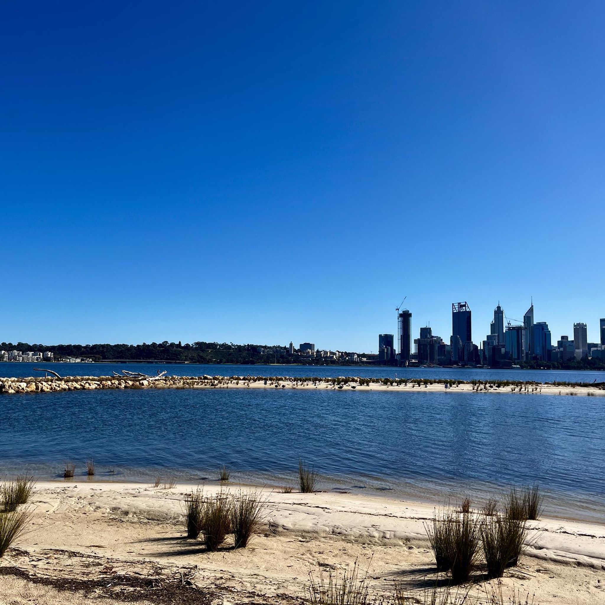
Kaarta Gar-up Lookout is a fantastic viewpoint in Kings Park that offers breathtaking views of the Swan River and the Perth skyline. Nestled next to the State War Memorial, it includes a spacious open platform that allows for unobstructed panoramas of the city and the surrounding parkland.
0
0
Jacob’s Ladder is a steep outdoor staircase on the edge of Kings Park, and is a popular spot for local residents to exercise. It consists of about 242 concrete steps rising roughly 41 metres, with narrow sections and occasional pull-outs along the way. The climb connects Mounts Bay Road to the park above and is known for both its physical challenge and great elevated city views.
0
0
Frequently Asked Questions
How many road cycling routes are available in Canning River Regional Park?
There are over 60 road cycling routes in Canning River Regional Park, catering to various fitness levels. You'll find a good mix, with 22 easy routes, 35 moderate routes, and 7 more challenging options.
What kind of terrain can I expect on road cycling routes in Canning River Regional Park?
The park offers a diverse range of terrain. Many routes feature consistently flat, paved surfaces, particularly along the river foreshores, making them accessible for all fitness levels. However, some segments can be more challenging and may include unpaved sections, offering a varied experience for cyclists.
Are there any family-friendly cycling options in Canning River Regional Park?
Yes, Canning River Regional Park is generally flat and features many sealed, well-signed shared paths, making it suitable for families. Routes like the 4-kilometer Butterflies, Birds and Bridges Trail are particularly accessible and showcase diverse ecosystems.
What are some notable natural features or landmarks I can see while cycling in the park?
The park is rich in natural beauty and historical sites. You can cycle past the meandering Canning River, explore diverse wetlands and woodlands, and spot over 150 bird species. A significant landmark is the Kent Street Weir, which also offers amenities like a cafe and picnic facilities. Other points of interest include the Wilson Wetlands and remnants of early European settlement like Woodloes Homestead.
Where can I find parking for road cycling in Canning River Regional Park?
Parking is available at various access points within Canning River Regional Park. The Kent Street Weir is a popular starting point and offers facilities, including parking. You can also find parking near other park entrances and attractions like Riverton Jetty Park.
Are there any cafes or places to stop for refreshments along the cycling routes?
Yes, the Kent Street Weir features a cafe, making it a convenient stop for refreshments. Additionally, some routes, like the Little Banksia Café – Café in South Perth loop from Niana Station, are specifically designed to include cafe stops, offering opportunities to refuel during your ride.
What do other road cyclists enjoy most about cycling in Canning River Regional Park?
The area is highly rated by the komoot community, with an average score of 4.7 stars from over 100 reviews. Cyclists often praise the diverse landscapes, the tranquil urban retreat along the Canning River, and the variety of routes that cater to different abilities, from easy, flat rides to more challenging distances.
Can I access the park using public transport?
Yes, the park is accessible via public transport, connecting to different parklands. Niana Station is mentioned as a starting point for several routes, indicating good public transport links to the area.
Are there any loop routes for road cycling in Canning River Regional Park?
Yes, many routes in the park are designed as loops, offering convenient starting and ending points. Examples include the Mount Henry Bridge loop from Niana Station and the Elizabeth Quay Bridge – Perth Water Bike Trail loop from Niana Station.
What is the best time of year to go road cycling in Canning River Regional Park?
The park is enjoyable for cycling year-round, but the cooler, drier months (typically autumn and spring) are often preferred for outdoor activities in Western Australia. These seasons offer pleasant temperatures for longer rides and exploring the diverse ecosystems.
Are there any resources for more information about cycling in the Canning area?
For additional information on cycling and walking within the City of Canning, you can visit the official City of Canning website: canning.wa.gov.au.
What kind of wildlife might I encounter on the cycling paths?
Canning River Regional Park is a haven for nature lovers. While cycling, you might spot over 150 bird species, including black swans and pelicans, as well as kangaroos and Western Longneck Turtles, especially in areas with wetlands and dense woodlands.
Most popular routes in Canning River Regional Park

Get inspired with the komoot mobile app


Explore more
Browse the best Road cycling routes in other regions.
