The best walks and hikes in Canning River Regional Park
4.8
(125)
1,990
hikers
41
hikes
Hiking in Canning River Regional Park offers diverse landscapes along the Canning River, transitioning from estuarine to freshwater environments. The terrain features salt marshes, billabongs, and woodlands, with minimal elevation changes. This urban park provides a network of trails suitable for exploring its varied ecosystems and natural features.
Best hiking trails in Canning River Regional Park
- The most popular hiking route is Canning River loop from Canning River Regional Park, a 2.7 miles (4.3 km) trail that takes 1…
Last updated: October 16, 2026
4.0
(2)
36
hikers
4.26km
01:05
10m
10m
Easy hike. Great for any fitness level. Easily-accessible paths. Suitable for all skill levels.
4
hikers
7.44km
01:53
20m
20m
Easy hike. Great for any fitness level. Easily-accessible paths. Suitable for all skill levels.

5.0
(1)
6
hikers
8.23km
02:05
10m
10m
Moderate hike. Good fitness required. Easily-accessible paths. Suitable for all skill levels.
5
hikers
8.74km
02:13
20m
20m
Moderate hike. Good fitness required. Easily-accessible paths. Suitable for all skill levels.
11
hikers
7.50km
01:53
10m
10m
Easy hike. Great for any fitness level. Easily-accessible paths. Suitable for all skill levels.
Get access to more routes and recommendations from other explorers.
Already have an account?
Our route recommendations are based on thousands of hikes, rides, and runs completed by other people on komoot.
Start today with a free account
Your next adventure awaits.

Tips from the Community

Canning River Regional Park follows six kilometres of the river through wetlands, paperbark forest, saltmarsh and open woodland, so the scenery changes quite a bit as you move through it. The river, known as Dyarlgaard in Noongar country, has long been important to Whadjuk people. Keep an eye out for waterbirds around the quieter wetlands, and dogs are welcome as long as they stay on lead.
0
0
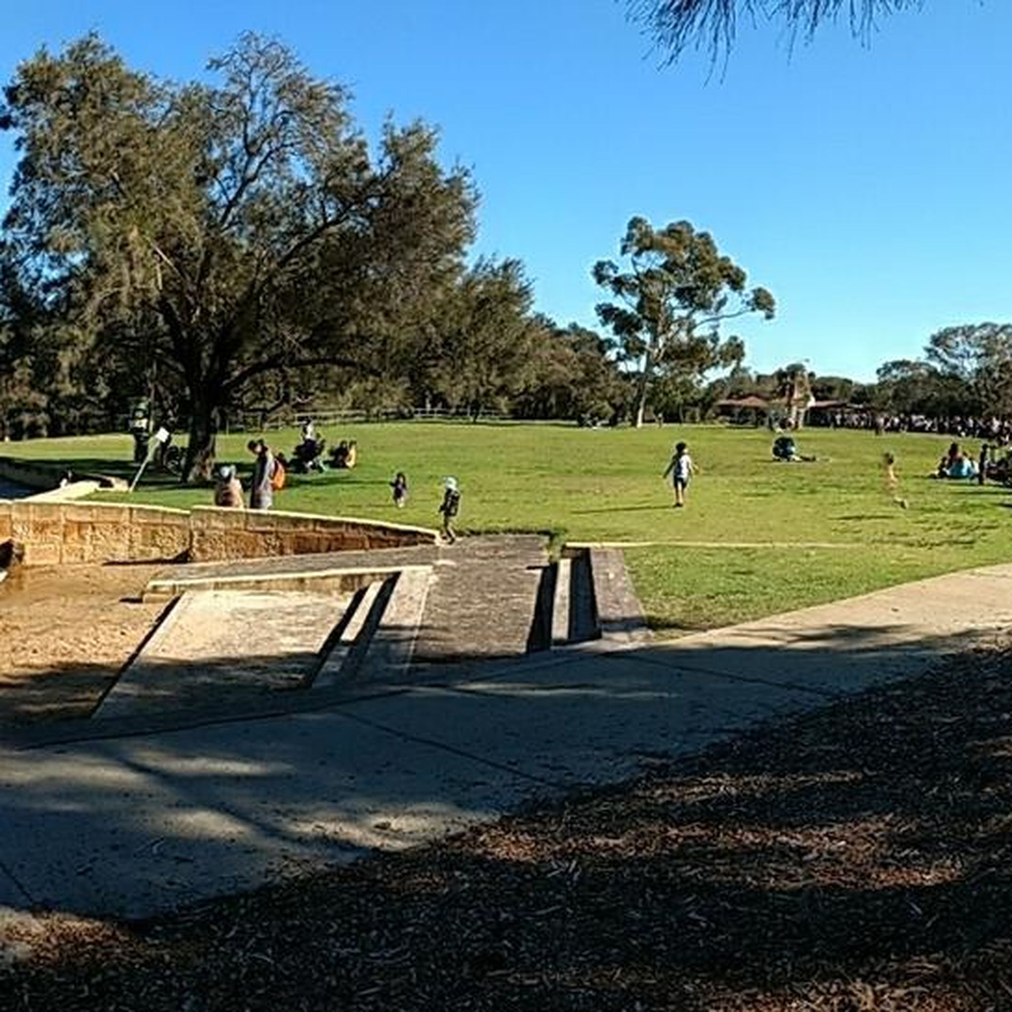
Samphire Flats is one of the more open wetland sections along the route, where low salt-tolerant plants spread across the ground beside the river. Water levels and colour can change a lot through the seasons, so the area can look completely different depending on when you visit. Slow down here and scan the shallows, as these wetlands are an important feeding area for waterbirds.
0
0
Shelley Beach sits along a lovely stretch of the Canning River, with calm water in front of you and a wide grassy foreshore just behind. The suburb actually takes its name from the shells once found along these river beaches, which is a nice detail to keep in mind as you walk the shoreline. There are shaded spots, picnic areas and easy access to the foreshore path if you want to linger.
0
0
Bull Creek is where the foreshore starts to feel a little more sheltered, with reeds, river gums and quieter water replacing some of the broader Canning River views. This estuary is an important habitat for fish and waterbirds, and dolphins are occasionally seen here too. The area is known as Gabbiljee to Whadjuk Noongar people, meaning “watery place at the end of the river,” which suits the landscape perfectly.
0
0

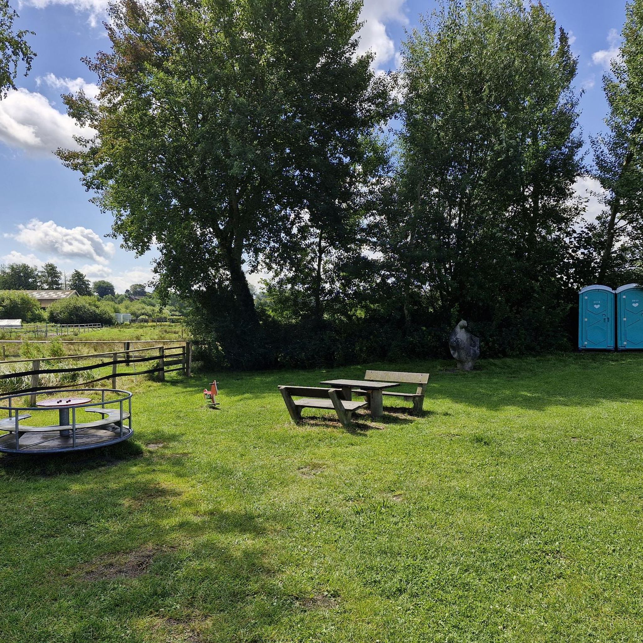
This large conserved greenspace is made up of forests, marshlands and a park, spanning almost 100 hectares. Fern Park sitting on its northern end with amenities like shaded picnic areas, BBQs, restrooms, and the Lo Quay River Cafe.
0
0

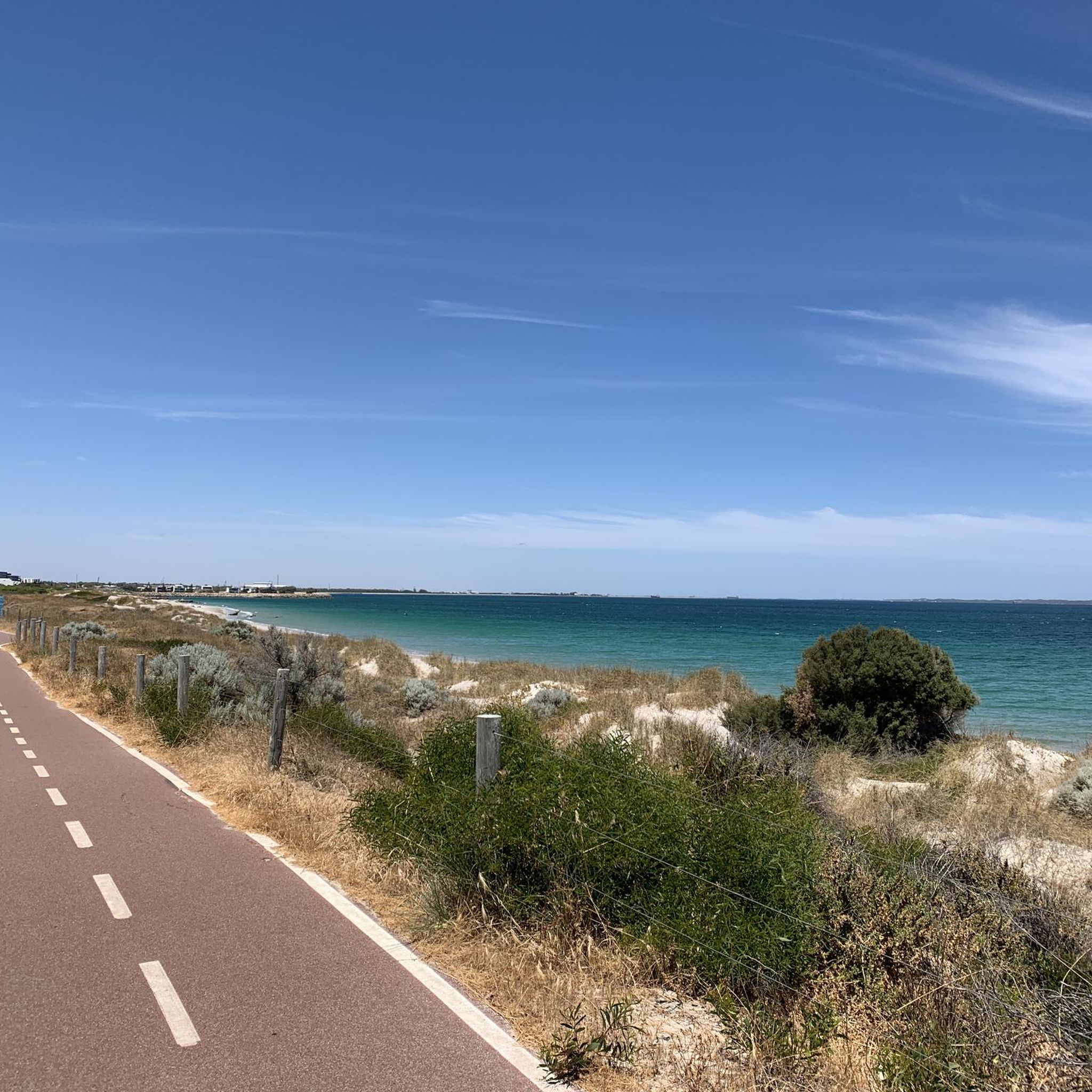
Great walking / cycling path along the edge of the water around Rossmoyne. Lots of scenic nature on one side with beautiful big mansions to look at on the other side.
0
0
Frequently Asked Questions
How many hiking trails are available in Canning River Regional Park?
Canning River Regional Park offers over 40 hiking routes, catering to various preferences. Most of these, around 33, are classified as easy, with 10 moderate options for those seeking a bit more challenge.
What kind of terrain and natural features can I expect to see while hiking?
The park features diverse landscapes, transitioning from estuarine to freshwater environments. You'll encounter salt marshes, billabongs, lush forests, and woodlands. The Canning River itself is a central feature, meandering through the park, offering serene views and opportunities to observe aquatic life. The terrain generally has minimal elevation changes, making for pleasant walks.
Are there any easy hikes suitable for families or beginners?
Yes, many trails are suitable for families and beginners. For instance, the Canning River loop from Canning River Regional Park is an easy 4.3 km route that follows the river. Another excellent option is the Butterflies, Birds and Bridges Loop Trail, which is 4 km and wheelchair-friendly, starting at Kent Street Weir.
Are dogs allowed on the trails in Canning River Regional Park?
While the park is a popular spot for outdoor activities, specific rules regarding dogs on trails can vary. It's generally recommended to keep dogs on a leash and check local signage for designated dog-friendly areas or restrictions within the regional park to ensure compliance and protect local wildlife.
Are there any circular routes available for hikers?
Yes, the park features several popular circular routes. The Wilson Lagoon – Canning River loop from Canning River Regional Park is an easy 7.5 km path, and the Canning River – Wilson Lagoon loop from Canning River Regional Park is a moderate 8.8 km trail. Both explore riverine and wetland environments, offering great bird-watching opportunities.
What kind of wildlife or bird-watching opportunities are there?
Canning River Regional Park is a haven for wildlife, especially birds. The diverse habitats, including wetlands and the river, attract a wide array of birdlife such as black swans, pelicans, cormorants, and ibis. The Butterflies, Birds and Bridges Loop Trail and the Wilson Wetlands are particularly good spots for bird-watching.
Are there any historical sites or interesting landmarks to explore along the trails?
Yes, the park has both natural and historical significance. The Kent Street Weir, built in 1927, is a notable landmark. The park is also recognized as Noongar country, holding rich Aboriginal history. Additionally, remnants of early European settlement, such as Woodloes Homestead, add a historical dimension to your visit.
Where can I park when visiting Canning River Regional Park?
The Kent Street Weir precinct is a primary access point and offers parking facilities. Given the park's popularity, especially on weekends, it's advisable to arrive early to secure a spot. Other access points along the park's perimeter may also offer parking, so check local maps for specific trailheads.
What is the best time of year to hike in Canning River Regional Park?
Perth generally experiences a Mediterranean climate. The cooler, drier months from autumn (March-May) through spring (September-November) are often ideal for hiking, offering comfortable temperatures. Summer can be very hot, so early morning or late afternoon hikes are recommended during this period.
Are there facilities like cafes or picnic areas in the park?
Yes, the Kent Street Weir precinct is well-equipped with amenities. You'll find a café there, as well as picnic areas perfect for a post-hike meal. Canoe launch points are also available for those interested in water activities.
What do other hikers enjoy most about Canning River Regional Park?
The trails in Canning River Regional Park are highly rated by the komoot community, with an average score of 4.7 stars from over 130 reviews. Hikers frequently praise the park's diverse landscapes, the tranquility of the river, and the excellent opportunities for bird-watching. The well-maintained paths and accessibility for various skill levels are also often highlighted.
How long do the hiking trails typically take to complete?
Trail durations vary depending on the route and your pace. For example, the easy Canning River loop from Canning River Regional Park (4.3 km) typically takes about 1 hour 5 minutes. Longer routes like the moderate Canning River – Wilson Lagoon loop from Canning River Regional Park (8.8 km) can take around 2 hours 14 minutes.
Most popular routes in Canning River Regional Park

Get inspired with the komoot mobile app


Explore more
Browse the best Hikes in other regions.
