The best road cycling routes in Aguacaliente
4.5
(27)
1,276
riders
25
rides
Road cycling in Aguacaliente offers diverse terrain, from challenging climbs to open roads and picturesque landscapes. The region is characterized by mountain ranges like Cerro del Muerto, featuring rolling hills and notable ascents. Semi-desert landscapes, protected natural areas such as Sierra Fría, and dams like Malpaso Dam provide varied backdrops for cycling routes. This infrastructure supports a strong cycling culture, appealing to cyclists of various skill levels.
Best road cycling routes in Aguacaliente
- The most popular road cycling route is…
Last updated: July 2, 2026
85
riders
25.8km
01:10
160m
160m
Easy road ride. Great for any fitness level. Mostly well-paved surfaces and easy to ride.
5.0
(1)
47
riders
98.8km
04:52
1,340m
1,340m
Hard road ride. Very good fitness required. Mostly well-paved surfaces and easy to ride.

Sign up for free
4.0
(1)
36
riders
48.3km
02:37
910m
910m
Hard road ride. Very good fitness required. Mostly well-paved surfaces and easy to ride.
5.0
(1)
27
riders
Hard road ride. Very good fitness required. Mostly well-paved surfaces and easy to ride.
33
riders
56.0km
03:00
1,020m
1,020m
Hard road ride. Very good fitness required. Mostly well-paved surfaces and easy to ride.
Get access to more routes and recommendations from other explorers.
Sign up for free
Already have an account?
Our route recommendations are based on thousands of hikes, rides, and runs completed by other people on komoot.
Start today with a free account
Your next adventure awaits.
Login or Signup
Popular around Aguacaliente
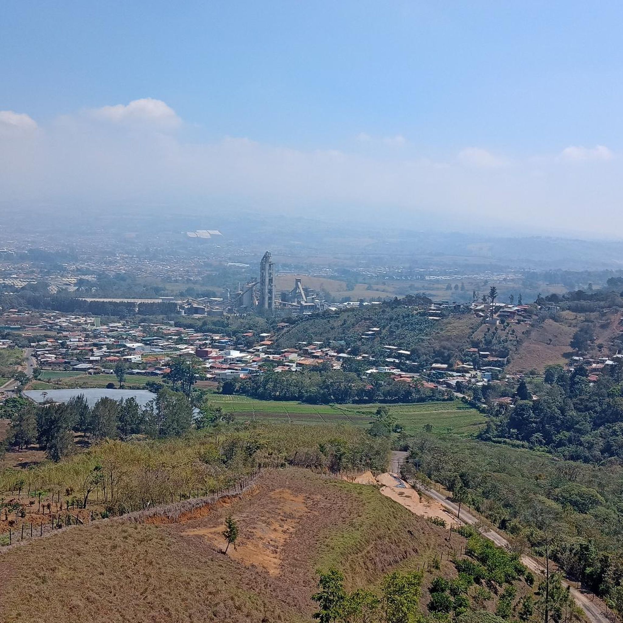

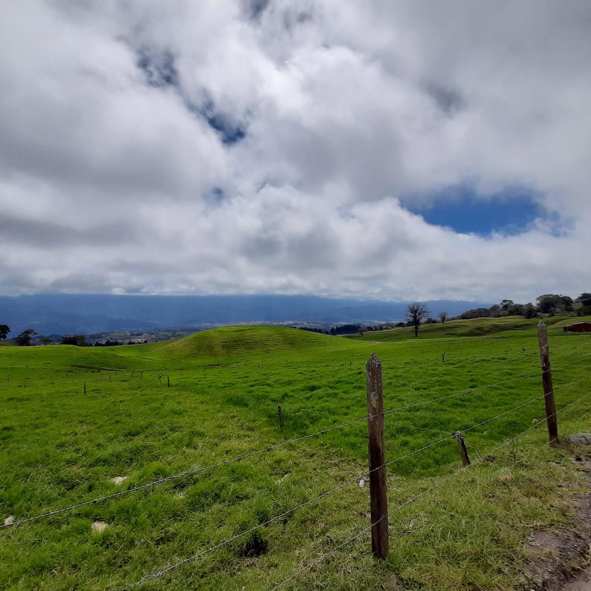

Tips from the Community


Going in the summer helps you appreciate the place.
0
1
The place is very spacious, it is recommended to go in summer for good photos, completely pedalable. You can see the video "Basilica de los Angeles" on our Official Channel "BIKERS COSTA RICA" https://www.facebook.com/reel/1191863962050845
0
1

A green oasis. One of the largest in the city.
2
0


In the year 1876, by order of the Plaza Commander and Governor of the Province, Fadrique Gutiérrez (1844-1897). Without being an architect, he himself designed the work. The Heredian historian Luis Dobles Segreda points out that it was part of a project of four towers in total, one in each corner of the place where the Cabildo was located. Apparently construction was suspended due to lack of financial resources.
0
0

Here you will find peace and relaxation
0
0

Frequently Asked Questions
How many road cycling routes are available in Aguacaliente?
There are over 25 road cycling routes in Aguacaliente, catering to various skill levels. You'll find options ranging from easy loops to challenging paths with significant elevation changes.
What is the general terrain like for road cycling in Aguacaliente?
Road cycling in Aguacaliente features diverse terrain, including mountain ranges, semi-desert landscapes, and protected natural areas. Routes often include rolling hills and notable ascents, providing a varied experience for cyclists.
Are there any easy road cycling routes suitable for beginners or families in Aguacaliente?
Yes, Aguacaliente offers several easy routes. For instance, the Copatchi – Quijongo El Guarco loop from Oreamuno is an easy 24.5-mile (39.3 km) trail that provides a pleasant ride through varied local terrain.
Where can I find challenging road cycling routes in Aguacaliente?
For experienced cyclists seeking a challenge, Aguacaliente has many difficult routes. The El Fortín – Santa Ana Park Sports Complex loop from Cartago is a demanding 62.5-mile (100.6 km) path with significant elevation changes. Another challenging option is the Cristo de Sabanilla – Descent loop from Cartago.
What kind of landmarks or natural attractions can I see along the road cycling routes in Aguacaliente?
Aguacaliente's routes offer access to various natural and cultural landmarks. You might encounter natural wonders like the San Gerardo de Dota Waterfall or the Savegre River. Cultural highlights include the Basilica of Our Lady of the Angels and the Cathedral of Cartago.
Are there any routes that pass by volcanoes or significant natural monuments?
Yes, some routes offer views or access to impressive natural features. The Irazú Volcano National Park is a prominent natural monument in the region, and you can also find highlights like the Tree Ferns on Tapantí Rainforest Trail and the Río Orisí in Tapantí National Park.
What do other road cyclists say about the routes in Aguacaliente?
The road cycling routes in Aguacaliente are highly regarded by the komoot community, holding an average rating of 4.6 stars from over 40 reviews. Cyclists often praise the varied landscapes and the options available for different ability levels.
Are there any circular road cycling routes in Aguacaliente?
Many of the routes in Aguacaliente are designed as loops, offering circular journeys. Examples include the Copatchi – Quijongo El Guarco loop from Oreamuno and the Cristo de Sabanilla – Copatchi loop from Plaza Paraíso, allowing you to start and end at the same point.
What is the best time of year for road cycling in Aguacaliente?
Aguacaliente's climate generally allows for road cycling year-round, but conditions can vary. It's always a good idea to check local weather forecasts before heading out, especially during rainy seasons, to ensure optimal riding conditions.
Are there any specific routes that offer great viewpoints?
While specific viewpoints are not detailed for every route, the region's mountainous and semi-desert landscapes inherently offer panoramic views. Routes with significant elevation gains, such as those in the mountain ranges, are likely to provide stunning vistas of the surrounding scenery.
Is there public transport access to the start of road cycling routes in Aguacaliente?
Many routes start near towns or cities like Cartago and Oreamuno, which typically have public transport options. For specific route access, it's recommended to check local bus schedules or transport services to the starting points of your chosen routes.
Are there any routes that pass through local markets or interesting towns?
Yes, some routes may lead you through or near local towns. For example, the Cartago Farmers Market is a notable point of interest in the region, offering a glimpse into local life and produce.
Most popular routes in Aguacaliente
Most popular attractions in Aguacaliente

Get inspired with the komoot mobile app


Explore more
Browse the best Road cycling routes in other regions.
