The best walks and hikes in Aguacaliente
4.8
(134)
857
hikers
22
hikes
Hiking in Aguacaliente offers diverse terrain, characterized by cloud forests, river valleys, and varied elevations. The region features lush jungle environments and areas with dense vegetation, providing a contrast to more arid landscapes found in other Aguacaliente locations. Trails often follow rivers and lead to viewpoints, showcasing the natural features of the area.
Best hiking trails in Aguacaliente
- The most popular hiking route is La Quebrada Cloud Forest Trail – Mirador SIWÕ' loop from Zapotal, a 3.2 miles (5.1…
Last updated: July 1, 2026
4.8
(18)
153
hikers
5.00km
01:52
240m
240m
Moderate hike. Great for any fitness level. Mostly accessible paths. Sure-footedness required.
4.6
(16)
74
hikers
5.10km
01:31
140m
140m
Moderate hike. Great for any fitness level. Mostly accessible paths. Sure-footedness required.

Sign up for free
5.0
(2)
51
hikers
4.07km
01:45
240m
240m
Moderate hike. Great for any fitness level. Mostly accessible paths. Sure-footedness required.
5.0
(2)
27
hikers
5.06km
02:02
220m
230m
Moderate hike. Good fitness required. Mostly accessible paths. Sure-footedness required.
4.3
(4)
21
hikers
7.71km
02:15
210m
210m
Moderate hike. Good fitness required. Easily-accessible paths. Suitable for all skill levels.
Get access to more routes and recommendations from other explorers.
Sign up for free
Already have an account?
Our route recommendations are based on thousands of hikes, rides, and runs completed by other people on komoot.
Start today with a free account
Your next adventure awaits.
Login or Signup
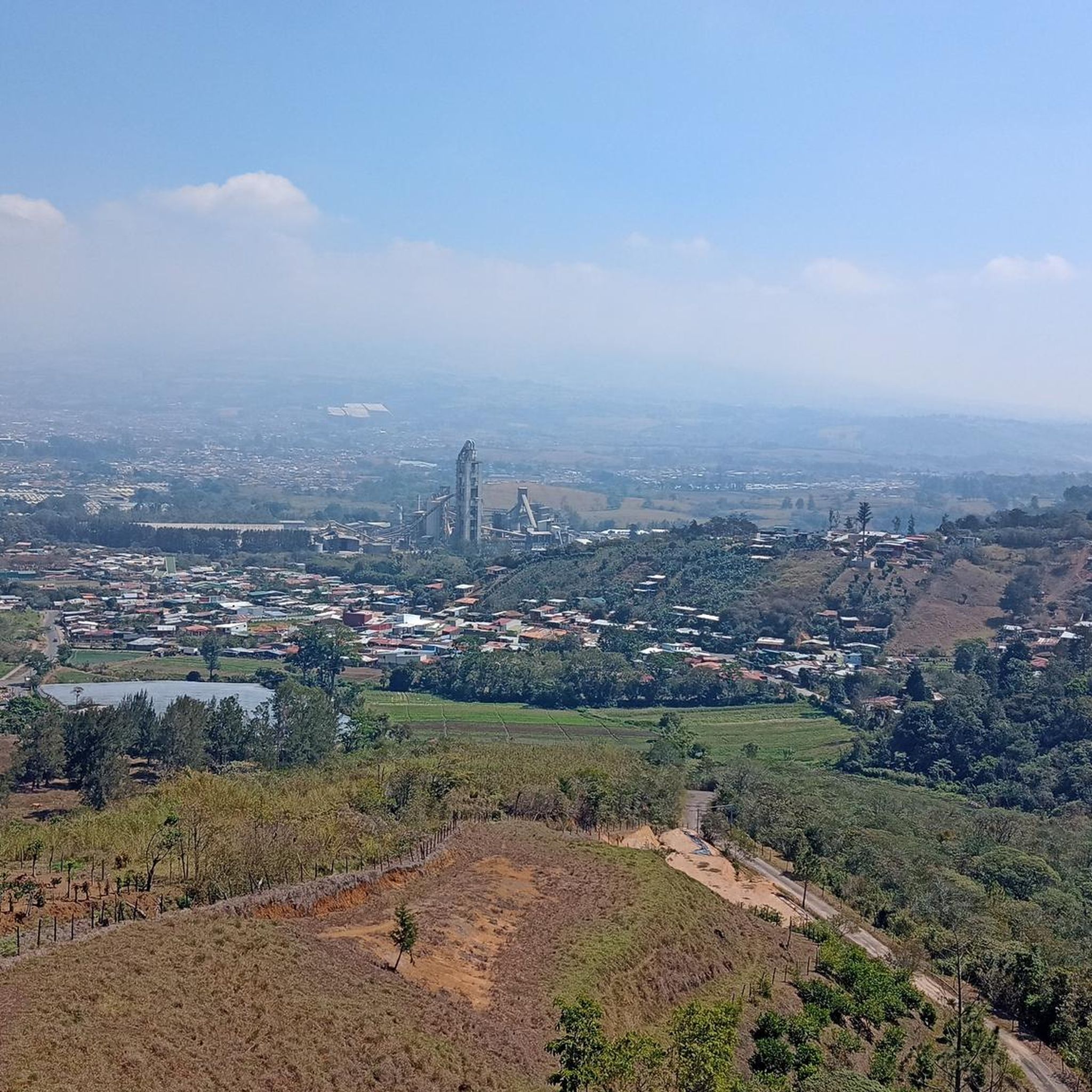
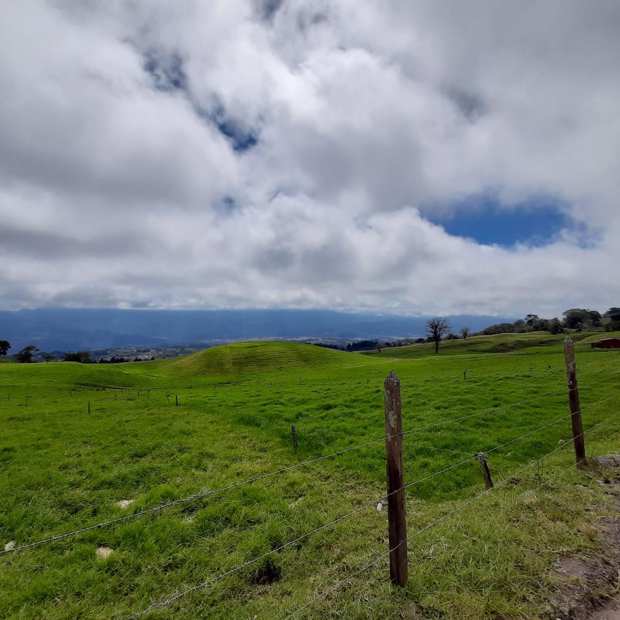
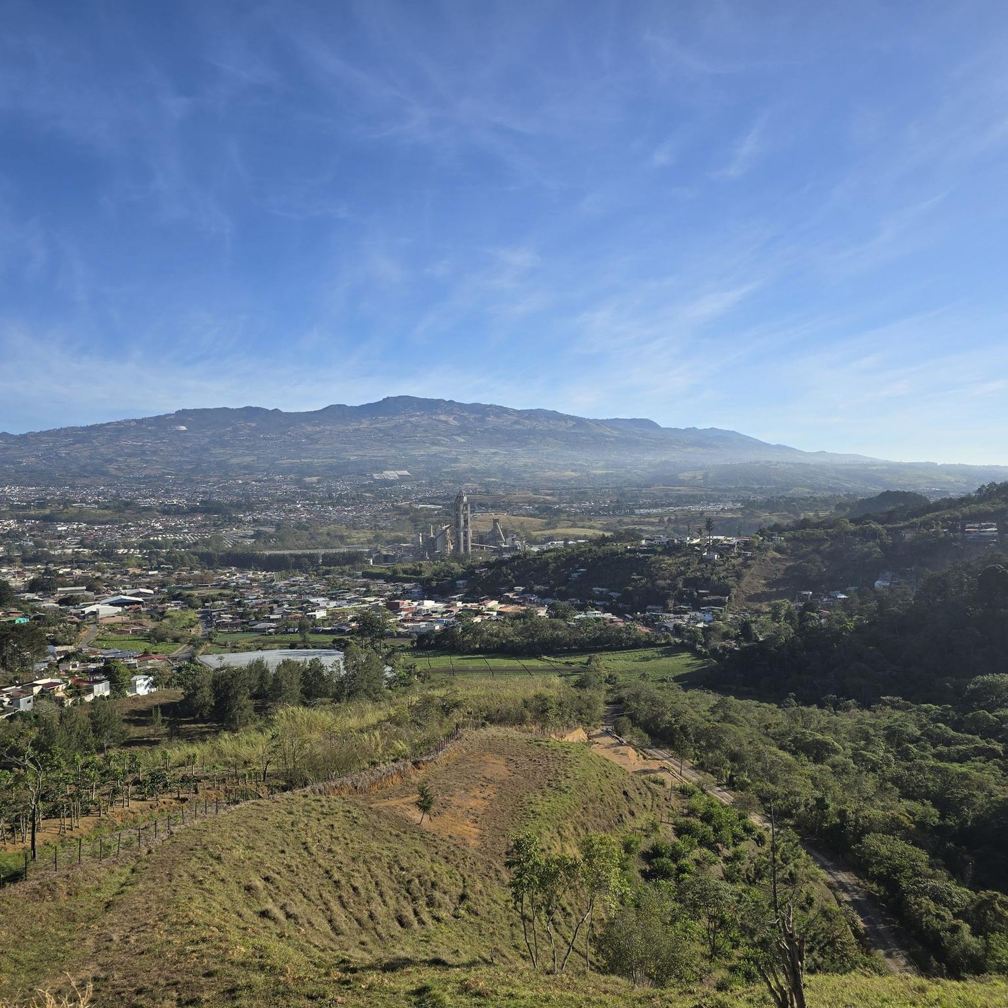

Tips from the Community

Toilets with panoramic views of the forest!
0
0

Hikes cloud forest hotel Savegre
0
0

Nice Hike, we did it as a family. The trail is starting to get a little bit abandoned, the waterfall is no longer visible (as of June 29, 2024) due to a collapse. Anyways, we enjoyed the beautiful forest.
0
0

Very difficult path, but worth it! Lots of dilapidated bridges and stairs. Sturdy shoes are definitely recommended. The path runs downstream on the right side (unlike what is shown on the Komoot map). Shortly before the waterfall there is another wild suspension bridge.
0
0
Beautiful waterfall in the Rio Savegre. Access via two dilapidated bridges is a bit adventurous.
0
0


Good footwear is a basic requirement for this tour, since the planks are metal grids and transitions are very damp and slippery.
1
1
Good footwear is a basic requirement for this tour, as the planks and transitions are very damp and slippery.
0
0
Frequently Asked Questions
What kind of terrain can I expect on hiking trails in Aguacaliente?
Hiking in Aguacaliente is characterized by lush cloud forests, river valleys, and varied elevations. You'll find trails that follow rivers and lead to scenic viewpoints, offering a rich natural experience with dense vegetation.
Are there many hiking trails available in Aguacaliente?
Yes, Aguacaliente offers a good selection of hiking opportunities. There are over 20 hiking routes, with options ranging from easy to moderate difficulty levels.
Are there any easy hikes suitable for beginners in Aguacaliente?
Absolutely. Aguacaliente has 8 easy hiking routes. A great option is the Savegre River – Waterfall on the Río Savegre loop from San Gerardo, which is an easy 3.9-mile path following the Savegre River to a waterfall.
Can I find trails with waterfalls in Aguacaliente?
Yes, waterfalls are a prominent feature in Aguacaliente's natural landscape. You can explore trails like the Savegre River – Waterfall on the Río Savegre loop from San Gerardo. Additionally, highlights include the San Gerardo de Dota Waterfall and a Waterfall in Reserva Forestal Los Santos.
What are some notable natural landmarks or attractions to see while hiking in Aguacaliente?
Beyond the trails, Aguacaliente offers several natural landmarks. You can visit the Irazú Volcano National Park, explore the Río Orisí in Tapantí National Park, or see the impressive Tree Ferns on Tapantí Rainforest Trail.
Are there any circular hiking routes in Aguacaliente?
Yes, many trails in Aguacaliente are designed as loops. For example, the La Quebrada Cloud Forest Trail – Mirador SIWÕ' loop from Zapotal is a popular moderate circular route through a cloud forest.
What do other hikers enjoy most about hiking in Aguacaliente?
The komoot community highly rates Aguacaliente's trails, with an average score of 4.9 stars from over 100 reviews. Hikers often praise the diverse cloud forest trails, river paths, and the opportunities for wildlife viewing.
What kind of wildlife can I expect to see on the trails?
The cloud forest and river environments of Aguacaliente provide opportunities for wildlife viewing. While specific species vary, these lush habitats are known for diverse birdlife and other forest creatures.
Are there any cultural or historical sites near the hiking areas?
Yes, beyond the natural beauty, you can find cultural sites such as the Basilica of Our Lady of the Angels and the Cathedral of Cartago. For a local experience, the Cartago Farmers Market is also nearby.
What is the best time of year to go hiking in Aguacaliente?
Given the region's cloud forest characteristics, Aguacaliente generally offers pleasant hiking conditions year-round. However, it's always advisable to check local weather forecasts for specific seasonal considerations, especially regarding rainfall, which can vary.
Are there any moderate difficulty trails for more experienced hikers?
Yes, Aguacaliente features 14 moderate trails. A good option for a more challenging experience is The Oak of Hotel Savegre – La Quebrada Cloud Forest Trail loop from Zapotal, which covers 5 miles through varied terrain.
Can I find trails that follow rivers in Aguacaliente?
Many trails in Aguacaliente follow rivers, offering beautiful waterside views. The Savegre River – Waterfall on the Río Savegre loop from Río Savegre is a great example, tracing the course of the Savegre River.
Most popular attractions in Aguacaliente

Get inspired with the komoot mobile app


Explore more
Browse the best Hikes in other regions.
