The best MTB trails in Aguacaliente
4.8
(96)
549
riders
27
rides
Mountain bike trails in Aguacaliente traverse a landscape characterized by varied elevation, including hills and river valleys. The region features artificial lakes, viewpoints, and rural areas, offering diverse terrain for mountain biking. Routes often include scenic sections near bodies of water like the Cachí Dam and Rio Orosi. The area provides a mix of moderate and challenging paths suitable for different skill levels.
Best mountain bike trails in Aguacaliente
- The most popular mountain bike trail is View of Ujarrás and…
Last updated: July 1, 2026
4.8
(25)
90
riders
Moderate mountain bike ride. Good fitness required. Suitable for all skill levels.
4.8
(20)
71
riders
33.7km
02:22
640m
640m
Moderate mountain bike ride. Good fitness required. Suitable for all skill levels.

Sign up for free
4.6
(10)
53
riders
54.4km
04:22
1,240m
1,240m
Hard mountain bike ride. Very good fitness required. Suitable for all skill levels.
5.0
(1)
27
riders
25.0km
02:58
1,110m
1,110m
Hard mountain bike ride. Very good fitness required. Suitable for all skill levels.
5.0
(5)
27
riders
37.0km
02:32
620m
620m
Moderate mountain bike ride. Good fitness required. Suitable for all skill levels.
Get access to more routes and recommendations from other explorers.
Sign up for free
Already have an account?
Our route recommendations are based on thousands of hikes, rides, and runs completed by other people on komoot.
Start today with a free account
Your next adventure awaits.
Login or Signup
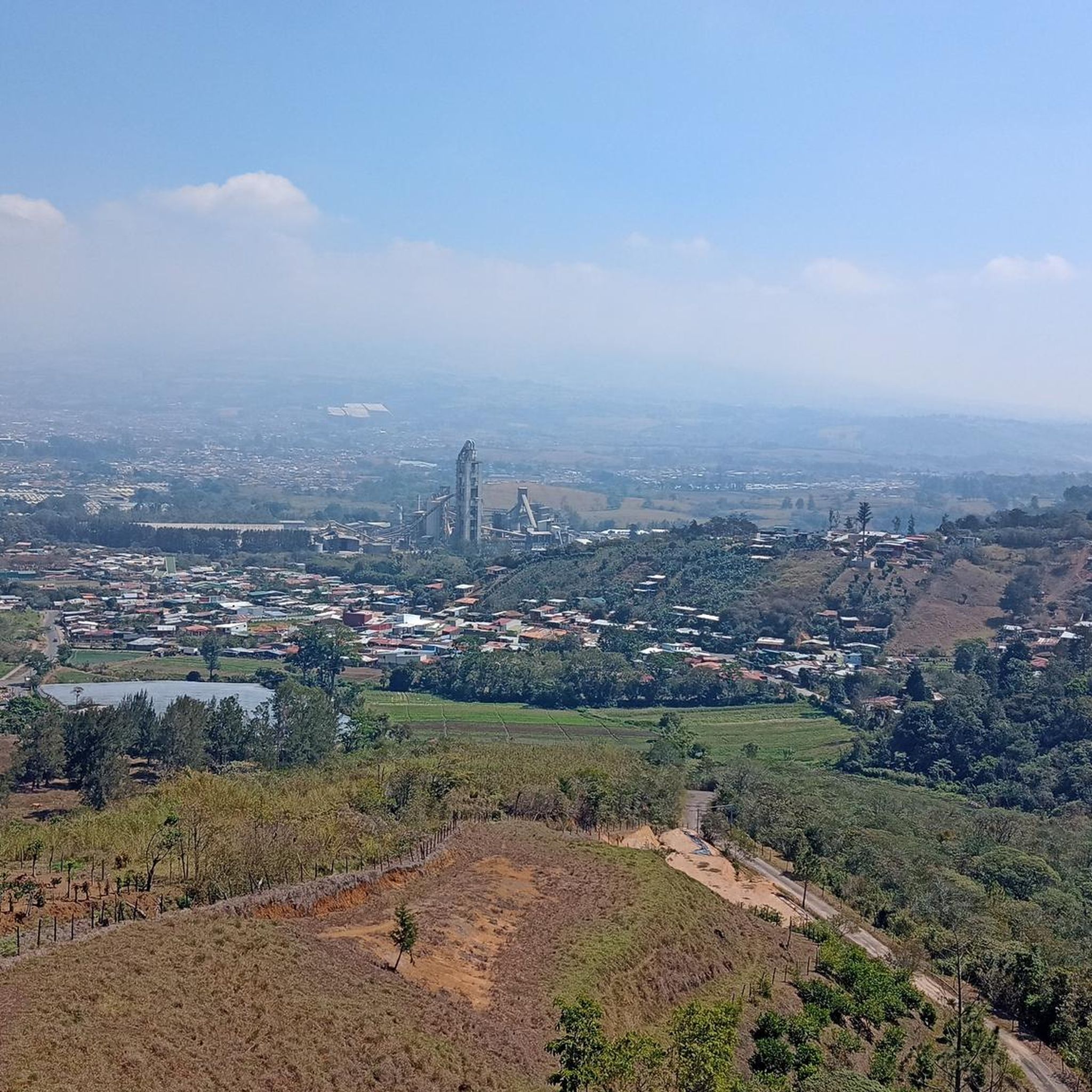

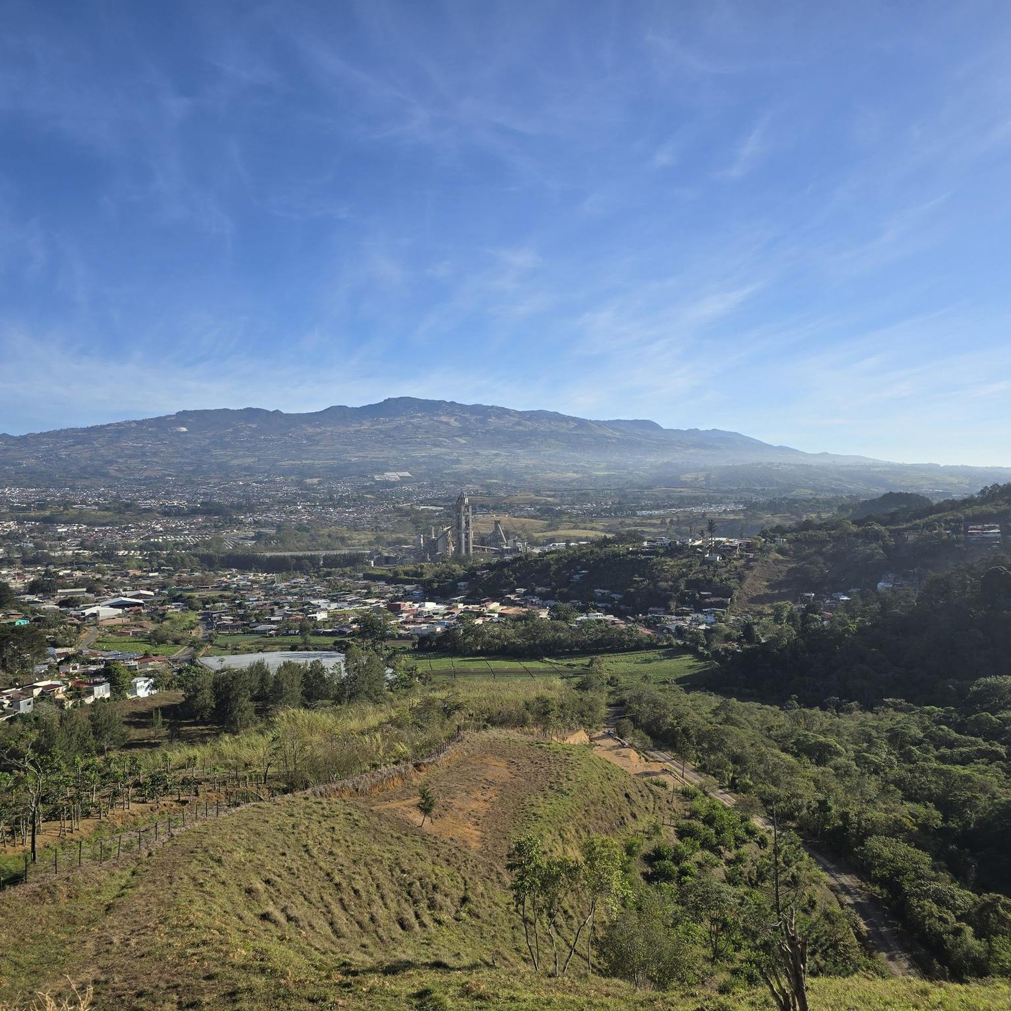

Tips from the Community

Known as the monkey loop. Sometimes you have to slow down to avoid missing the scenery.
0
0

Bad road but perfect for mountain biking. Very technical route
0
0

Going in the summer helps you appreciate the place.
0
0
The place is very spacious, it is recommended to go in summer for good photos, completely pedalable. You can see the video "Basilica de los Angeles" on our Official Channel "BIKERS COSTA RICA" https://www.facebook.com/reel/1191863962050845
0
0
It's almost there. a little ballast and ends on pavement all the way up
0
0

Viewpoint on the lake and the dam a little further on
0
0
Frequently Asked Questions
What types of mountain bike trails can I find in Aguacaliente?
Aguacaliente offers a diverse range of mountain bike trails, characterized by varied elevation, including hills and river valleys. You'll find routes near artificial lakes like the Cachí Dam and along rivers such as the Rio Orosi. The terrain includes both moderate paths and more challenging climbs through rural areas.
How many mountain bike trails are available in Aguacaliente?
There are over 25 mountain bike trails available in Aguacaliente. These routes cater to various skill levels, with options ranging from easy to difficult.
Are there mountain bike trails suitable for beginners in Aguacaliente?
Yes, Aguacaliente has several trails suitable for beginners. Approximately 4 of the routes are rated as easy, offering a gentler introduction to mountain biking in the region. These trails typically feature less elevation gain and smoother terrain.
What are some challenging mountain bike routes for experienced riders?
For experienced riders seeking a challenge, Aguacaliente offers several difficult routes. One such option is the La Estrella – The Yellow Bus loop from Cartago, a 32.9-mile (53.0 km) trail with over 1200 meters of elevation gain, leading through hilly terrain and rural areas. Another difficult route is the La Estrella – The Yellow Bus loop from Palo Verde, which is 15.5 miles (24.9 km) long with over 1100 meters of ascent.
Are there any mountain bike trails that are loop routes?
Many of the mountain bike trails in Aguacaliente are designed as loops, allowing you to start and finish at the same point. Examples include the View of Ujarrás and Cachí Dam – Cachí artificial lake loop from Los Ángeles and the Orosi Viewpoint – Rio Orosi Suspension Bridge loop from Cartago.
What can I see along the mountain bike trails in Aguacaliente?
Along the mountain bike trails, you can enjoy diverse scenery including views of the Ujarrás valley, the Cachí Dam, and the Orosi Valley. Natural attractions nearby include the Waterfall in Reserva Forestal Los Santos and the Río Orisí in Tapantí National Park. You might also encounter the San Gerardo de Dota Waterfall.
What is the typical length and duration of mountain bike trails in Aguacaliente?
The mountain bike trails in Aguacaliente vary significantly in length and duration. Moderate routes often range from 20 to 30 miles (32 to 48 km) and can take between 2.5 to 3.5 hours to complete. More difficult trails can extend over 30 miles (48 km) and require 4 hours or more, depending on your pace and the elevation.
What do other mountain bikers enjoy the most about mountain biking in Aguacaliente?
The area is highly rated by the komoot community, with an average score of 4.8 stars from over 90 reviews. Mountain bikers often praise the varied terrain, scenic views of valleys and artificial lakes, and the network of trails that cater to different ability levels.
Are there any notable landmarks or points of interest near the mountain bike routes?
Yes, beyond the natural beauty, you can find cultural landmarks. The Basilica of Our Lady of the Angels and the Cathedral of Cartago are significant religious buildings in the vicinity. The Cartago Farmers Market also offers a glimpse into local life.
What is the best time of year for mountain biking in Aguacaliente?
While specific seasonal data isn't provided, given the region's characteristics, the dry season (typically December to April) often offers the most favorable conditions for mountain biking, with less rain and generally clearer trails. However, always check local weather forecasts before heading out.
What are the trail conditions like in Aguacaliente?
Trail conditions in Aguacaliente can vary. Routes traverse diverse terrain including hilly sections, river valleys, and rural paths. Some trails may be well-maintained, while others, especially in more remote areas, might be more natural and rugged. It's always advisable to check recent reviews or local conditions before your ride, especially after heavy rainfall which can affect unpaved sections.
Most popular attractions in Aguacaliente

Get inspired with the komoot mobile app


Explore more
Browse the best MTB trails in other regions.
