The best road cycling routes in Oicatá
4.4
(66)
1,250
riders
34
rides
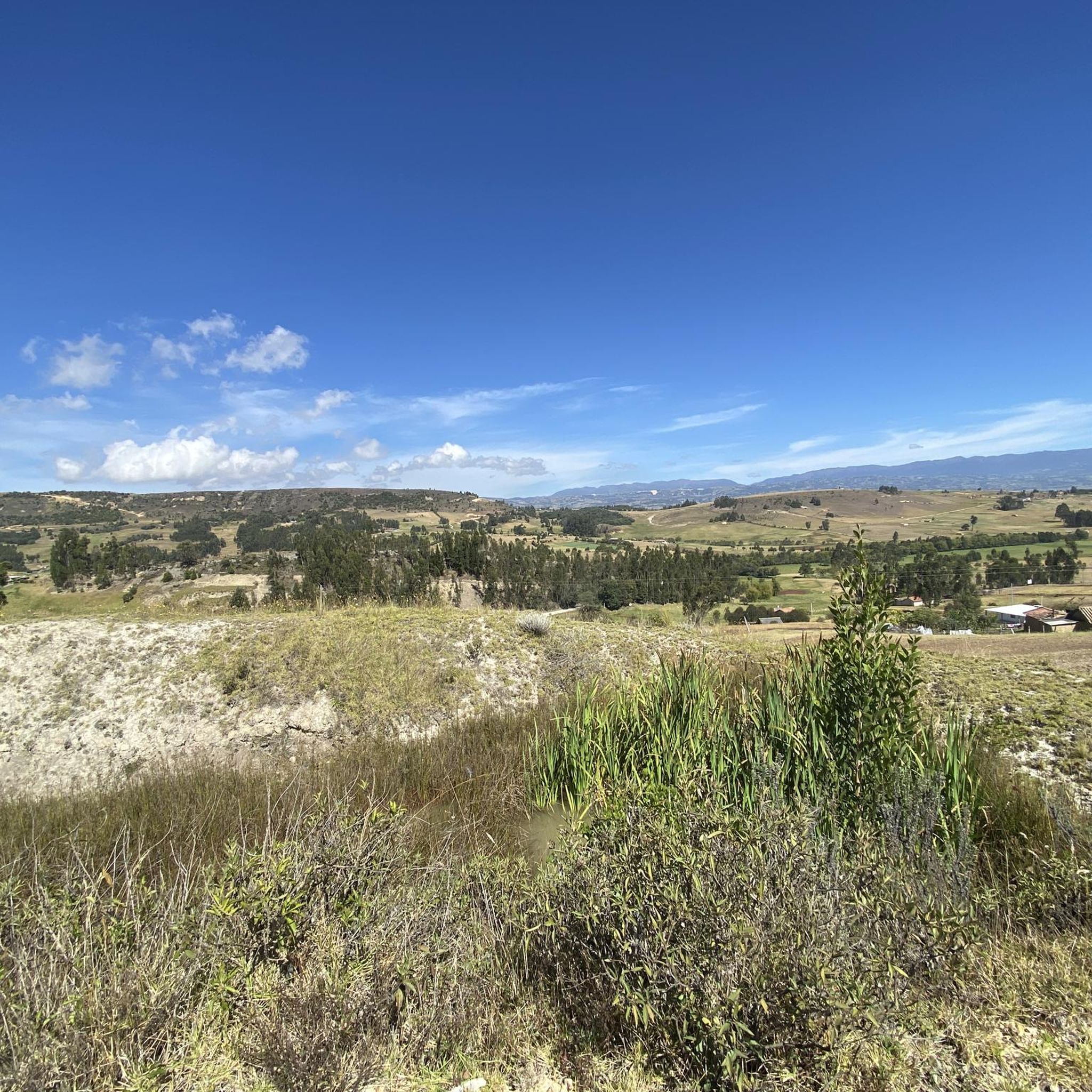
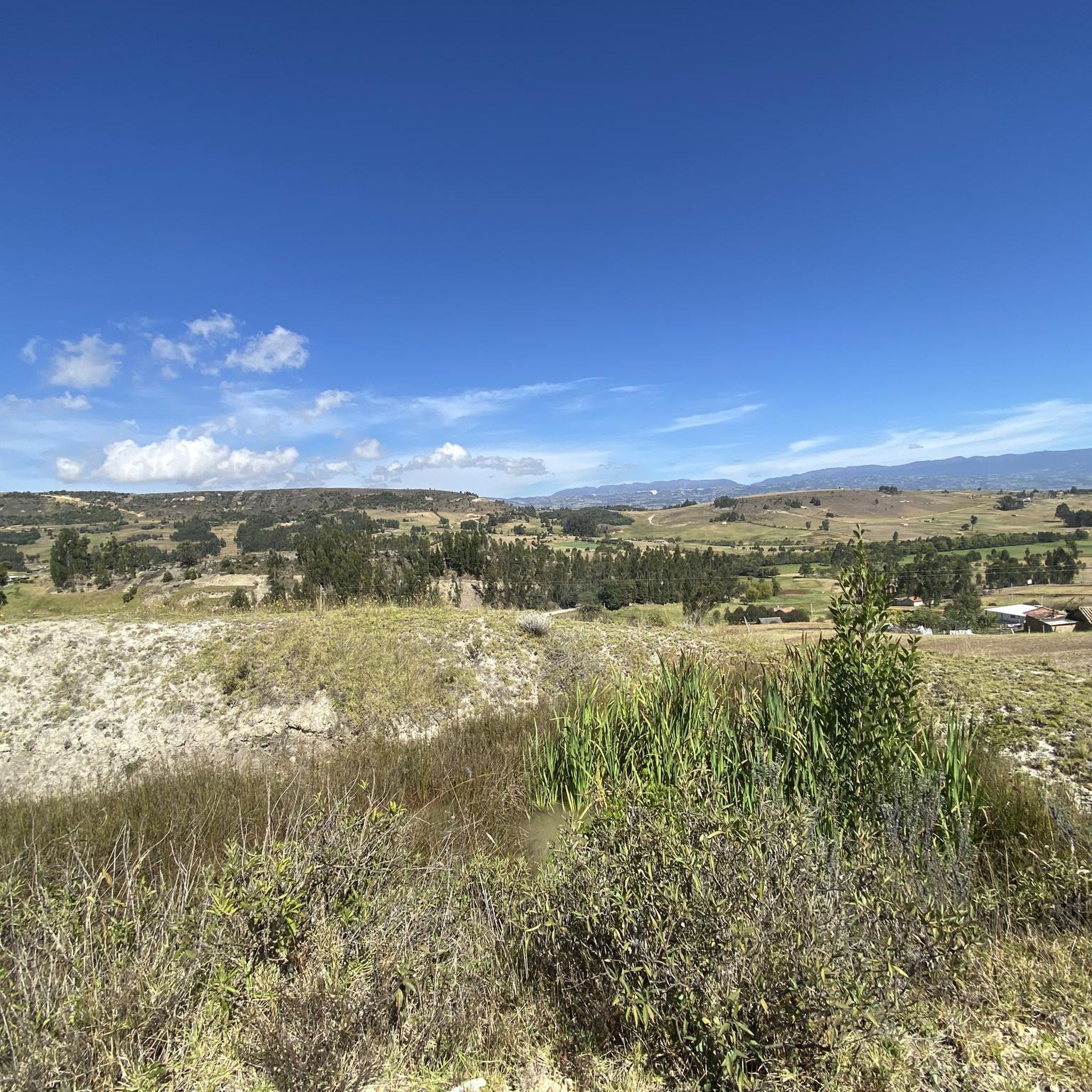
Road cycling routes in Oicatá are situated on the Altiplano Cundiboyacense, offering varied topography ideal for cycling. The municipality is located at an altitude of 9,236 feet (2,815 meters), providing a unique blend of challenging climbs and scenic routes. Surrounded by mountains, Oicatá features landscapes that include cold, dry thermal zones and rural areas with backroads. This environment presents cyclists with a range of conditions and views across the Colombian countryside.
Best road cycling routes in Oicatá
- The most popular…
Last updated: July 15, 2026
4.6
(15)
106
riders
51.1km
02:24
560m
560m
Moderate road ride. Good fitness required. Mostly well-paved surfaces and easy to ride.
4.5
(2)
69
riders
61.3km
03:00
880m
880m
Moderate road ride. Good fitness required. Mostly well-paved surfaces and easy to ride.

Sign up for free
4.5
(6)
62
riders
58.7km
03:09
1,020m
1,020m
Hard road ride. Very good fitness required. Some segments of this route may be unpaved and difficult to ride.
3.0
(1)
57
riders
31.7km
01:27
340m
340m
Moderate road ride. Good fitness required. Mostly well-paved surfaces and easy to ride.
5.0
(4)
55
riders
70.6km
03:39
1,210m
1,210m
Hard road ride. Very good fitness required. Mostly well-paved surfaces and easy to ride.
Get access to more routes and recommendations from other explorers.
Sign up for free
Already have an account?
Our route recommendations are based on thousands of hikes, rides, and runs completed by other people on komoot.
Start today with a free account
Your next adventure awaits.
Login or Signup
Popular around Oicatá


Tips from the Community

A place of passage, the store and the restaurant seem a bit expensive to me. Just for reference point, 5 photos and on.
0
0


Emblematic tourist site where one of the battles of Simón Bolívar was fought. You have to go down and visit it, free to the public.
0
0


How can you enter the velodrome?
0
0

Frequently Asked Questions
How many road cycling routes are available in Oicatá?
Oicatá offers a diverse selection of over 35 road cycling routes. These routes cater to various skill levels, with 4 easy, 17 moderate, and 16 difficult options, ensuring there's a suitable ride for every cyclist.
What is the typical terrain and elevation like for road cycling in Oicatá?
Road cycling in Oicatá is characterized by its location on the Altiplano Cundiboyacense, at an altitude of 2,815 meters (9,236 ft). This means routes feature varied topography, including significant ascents and descents through mountainous terrain and rural backroads. You can expect challenging climbs and rewarding descents.
Are there challenging road cycling routes for experienced riders in Oicatá?
Yes, Oicatá is well-suited for experienced cyclists seeking a challenge. The region's mountainous landscape and high altitude provide plenty of demanding climbs. For instance, the Puente de Boyacá – Tunja Velodrome loop from Tunja is a difficult 59.7 km route with over 1,000 meters of elevation gain, offering a rigorous workout.
Are there easier road cycling routes suitable for beginners in Oicatá?
While many routes offer significant challenges, Oicatá does have options for beginners. There are 4 routes classified as 'easy' within the region. These routes typically feature less elevation gain and shorter distances, providing a gentler introduction to road cycling in the area.
What kind of views and natural features can I expect while cycling in Oicatá?
Oicatá offers 'Soul-Relaxing Landscapes' with breathtaking panoramic views of the Altiplano Cundiboyacense and surrounding mountains. You'll cycle through serene rural areas, past traditional farms, and experience the authentic Colombian countryside, often with views of neighboring municipalities.
Are there any landmarks or points of interest along Oicatá's road cycling routes?
While specific route descriptions may vary, Oicatá itself boasts cultural points of interest. The town's Parque Principal features colonial-style houses and the historic Parish of the Immaculate Conception. Some routes, like the Alto de Sote – Nairo Quintana Monument loop from Tunja, pass by significant local landmarks such as the Nairo Quintana Monument, celebrating Colombia's cycling heritage.
What is the best time of year to go road cycling in Oicatá?
Oicatá enjoys a consistent cool climate, with temperatures generally ranging between 10 and 14 °C (50-57 °F) year-round. This provides comfortable conditions for strenuous physical activity like cycling, making it suitable for road cycling throughout most of the year, avoiding extreme heat.
Is Oicatá suitable for family-friendly road cycling?
Oicatá's terrain, with its significant climbs and high altitude, can be challenging. While there are some easier routes, families with younger children or those seeking very flat, dedicated cycling paths might find options limited. It's best to review individual route profiles for distance and elevation to determine suitability for your family's experience level.
What do other cyclists say about road cycling in Oicatá?
The road cycling routes in Oicatá are highly rated by the komoot community, holding an average score of 4.4 stars from over 50 reviews. More than 1,200 road cyclists have explored the area, often praising the challenging climbs, stunning landscapes, and the unique experience of cycling at high altitude in the Colombian countryside.
Are there loop trails available for road cycling in Oicatá?
Yes, many of the road cycling routes in Oicatá are designed as loops, allowing you to start and finish at the same point. Examples include the popular El Barne Roundabout – Puerto 1 loop from Tunja and the Nairo Quintana Monument – Scenic Off-Road Route loop from Cómbita, providing convenient circular journeys.
What should I wear when road cycling in Oicatá?
Given Oicatá's altitude of 2,815 meters (9,236 ft) and consistent cool temperatures between 10-14 °C, layering is key. Even on sunny days, the air can be crisp. We recommend wearing moisture-wicking base layers, a cycling jersey, arm and leg warmers, and a windproof or light insulated jacket. Gloves and a hat or headband under your helmet are also advisable, especially for descents.

Get inspired with the komoot mobile app


Explore more
Browse the best Road cycling routes in other regions.
