The best MTB trails in Oicatá
4.9
(394)
1,387
riders
130
rides
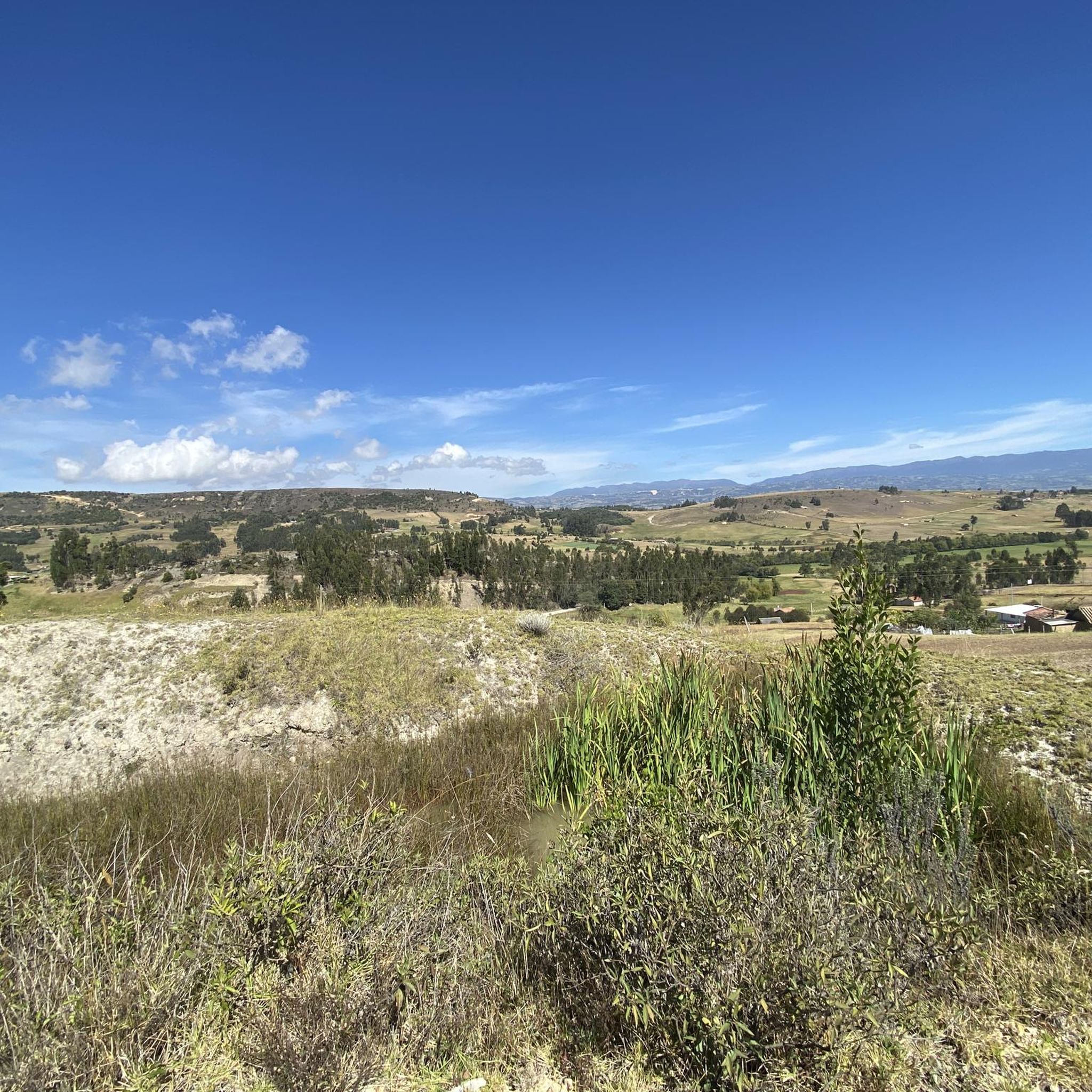
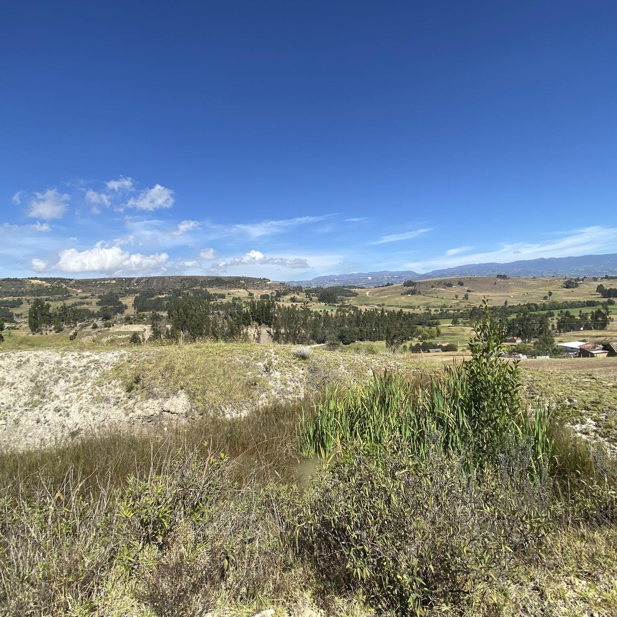
Mountain bike trails in Oicatá are characterized by the region's elevated location on the Altiplano Cundiboyacense, offering a combination of mountainous terrain and varied topography. Situated at an altitude of 2,815 meters (9,236 ft), the area features rolling hills and steeper climbs. This high-altitude plateau provides diverse landscapes suitable for mountain biking.
Best mountain bike trails in Oicatá
- The most popular mountain bike trail is Christ's Rock – Nairo's House! loop from La Colorada, a 25.3 miles (40.7 km)…
Last updated: July 15, 2026
5.0
(5)
16
riders
19.3km
01:16
250m
250m
Easy mountain bike ride. Great for any fitness level. Suitable for all skill levels.
5.0
(4)
21
riders
40.7km
02:36
590m
590m
Moderate mountain bike ride. Good fitness required. Suitable for all skill levels.

Sign up for free
5.0
(3)
21
riders
41.4km
03:29
790m
790m
Moderate mountain bike ride. Good fitness required. Suitable for all skill levels.
4.6
(5)
16
riders
27.2km
02:03
570m
570m
Moderate mountain bike ride. Good fitness required. Suitable for all skill levels.
5.0
(5)
15
riders
26.1km
01:30
210m
220m
Easy mountain bike ride. Great for any fitness level. Suitable for all skill levels.
Get access to more routes and recommendations from other explorers.
Sign up for free
Already have an account?
Our route recommendations are based on thousands of hikes, rides, and runs completed by other people on komoot.
Start today with a free account
Your next adventure awaits.
Login or Signup


Tips from the Community

At this point you will find refreshing drinks and very delicious empanadas with chili.
0
0
Good climb, you can reach above the clouds, good view to both sides of the mountain ranges
0
0
Bakery next to the park, where you can enjoy a good coffee and accompany it with shortbread.
0
0

House of Nairo Quintana. Emblematic meeting point for cyclists where you can find food from the region and souvenirs from Nairo.
0
0
Cycle walk Comfaboy tenth edition
0
0

Small road side cafe and home to Nairo Quintana where his mother still lives. She often comes to say hello to groups of cyclist.
0
0
This is the place where Nairo Quintanas mother lives. There is a small cafe with coffee, snacks and some killer Arepas. If you're lucky Nairos mom will even come out and say hello!
0
0
Frequently Asked Questions
How many mountain bike trails are available in Oicatá?
There are over 140 mountain bike trails in Oicatá, offering a wide range of options for all skill levels. The komoot community has explored these routes over 1400 times, providing an average rating of 4.9 stars.
What kind of terrain can I expect on mountain bike trails in Oicatá?
Oicatá's mountain bike trails feature a diverse landscape, from rolling hills to steeper climbs, all set on a high-altitude plateau around 2,815 meters (9,236 ft). You'll experience mountainous terrain and varied topography characteristic of the Altiplano Cundiboyacense.
Are there easy mountain bike trails suitable for beginners in Oicatá?
Yes, Oicatá offers several easy mountain bike trails. For instance, the Comfaboy Coliseum Tunja loop from La Colorada is an easy 26.1 miles (42.0 km) route that takes approximately 1 hour 30 minutes to complete, featuring minimal elevation gain.
What is the best time of year to go mountain biking in Oicatá?
Oicatá generally experiences a cool climate with temperatures between 10 and 14 °C year-round, making for comfortable riding conditions. The area has moderate annual precipitation, so checking the local weather forecast before your ride is always advisable to avoid unexpected rain.
Are there any loop trails for mountain biking in Oicatá?
Yes, many mountain bike trails in Oicatá are designed as loops. A popular moderate option is the Christ's Rock – Nairo's House! loop from La Colorada, which covers 25.3 miles (40.7 km) and offers expansive views across the mountainous landscape.
What are some longer, more challenging mountain bike routes in Oicatá?
For a longer and more challenging ride, consider the Comfaboy Coliseum Tunja – Cruz de Piedra loop from La Colorada. This moderate 25.5 miles (41.0 km) trail leads through mountainous terrain and typically takes around 3 hours 26 minutes to complete, with significant elevation changes.
What do other mountain bikers enjoy most about Oicatá's trails?
The mountain bike trails in Oicatá are highly rated by the komoot community, with an average score of 4.9 stars from over 380 reviews. Riders frequently praise the diverse mountainous terrain, the refreshing high-altitude air, and the tranquil scenery that helps relax the soul.
Are there any natural landmarks or points of interest along the mountain bike trails?
While specific natural landmarks directly on the trails are not detailed, Oicatá is surrounded by picturesque mountains and offers incredible natural surroundings. The region's elevated location on the Altiplano Cundiboyacense provides expansive views and diverse ecosystems to enjoy during your ride.
What should I bring for mountain biking in Oicatá, given its altitude?
Given Oicatá's altitude of 2,815 meters (9,236 ft) and cool climate, it's advisable to bring layers of clothing to adapt to changing temperatures. Hydration is also crucial at higher elevations, so carry plenty of water. Essential bike repair tools and a first-aid kit are always recommended.
Is Oicatá suitable for family-friendly mountain biking?
Oicatá offers a range of trails, including easy options that could be suitable for families. The varied topography means you can find routes with less challenging climbs and descents. Always check the specific trail details for distance and elevation to ensure it matches your family's skill level.
Are there any historical or cultural attractions to explore in Oicatá after a ride?
Yes, Oicatá is known as one of the most tranquil and charming towns in Boyacá. After your ride, you can explore its colonial streets, admire the architecture, and experience the local Boyacense culture and hospitality. It provides a peaceful base for immersing yourself in traditional Colombian life.
Where can I find information about parking or public transport for mountain biking in Oicatá?
While specific parking areas for individual trails are not detailed, many routes, such as the Cruz de Piedra – Chivatá Church loop from Urbanización Las Quintas, start from accessible points like Urbanización Las Quintas or La Colorada, which typically have local parking options. For public transport, local services connect Oicatá with nearby towns, but direct access to trailheads may require additional planning.

Get inspired with the komoot mobile app


Explore more
Browse the best MTB trails in other regions.
