The best cycling routes in Cucaita
4.7
(112)
795
riders
76
rides
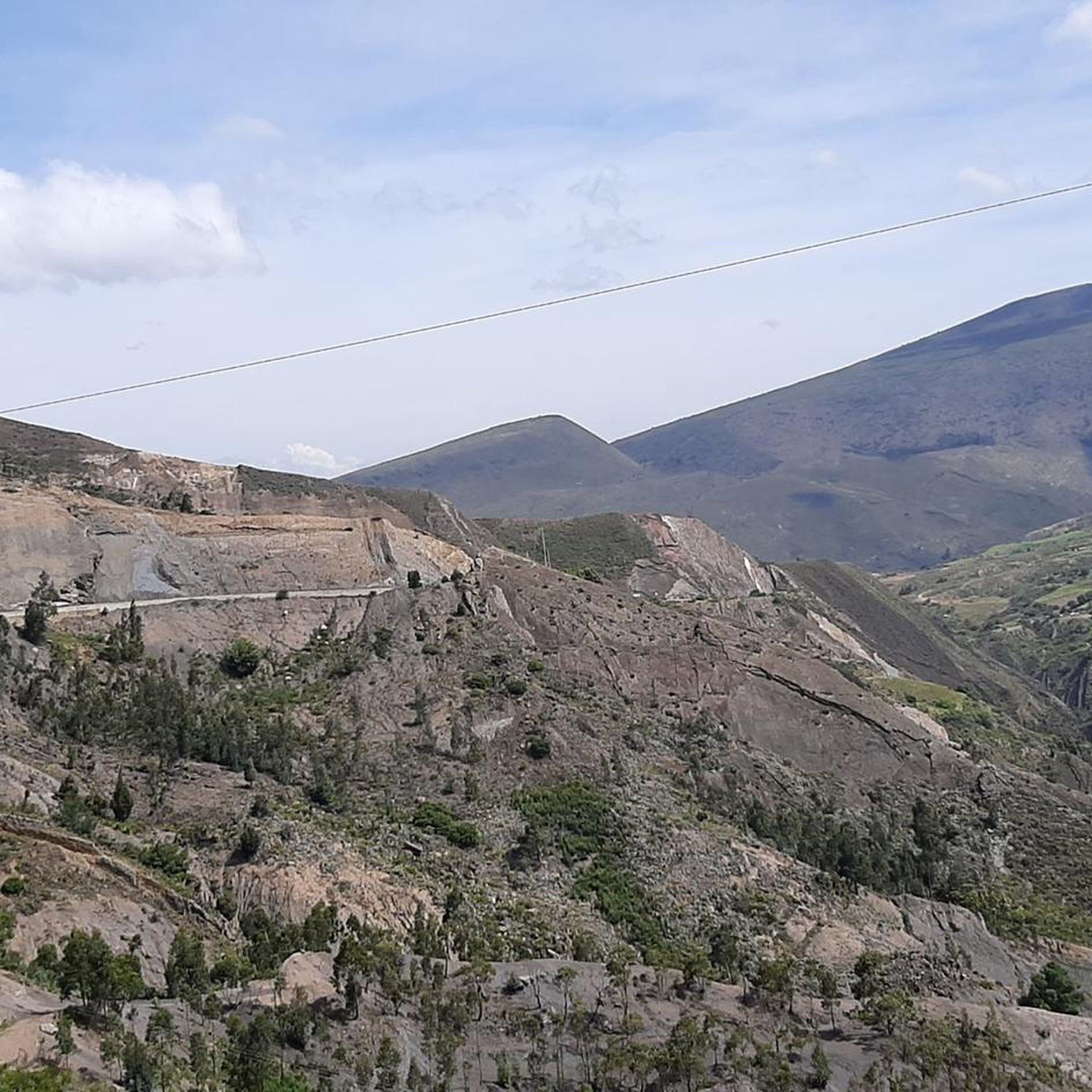
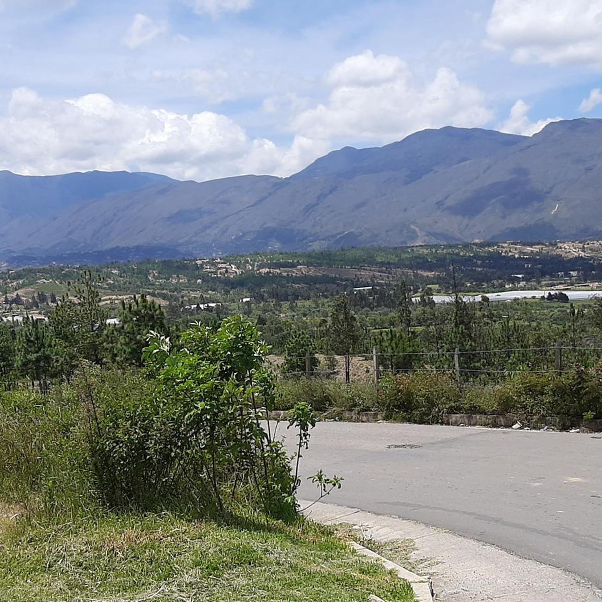
Touring cycling in Cucaita, situated on the Altiplano Cundiboyacense at an elevation of approximately 8,690 feet (2,650 meters), features rolling hills and undulating terrain. The region is characterized by extensive agricultural fields, including crops like onions, potatoes, and corn, offering pastoral views. Cyclists can expect varied landscapes with scenic backdrops, connecting municipalities across this high plateau.
Best touring cycling routes in Cucaita
- The most popular touring cycling route is Chivatá Viewpoint loop from Tunja, a 19.2 miles (30.8 km)…
Last updated: July 15, 2026
5.0
(11)
55
riders
30.8km
02:09
430m
430m
Moderate bike ride. Good fitness required. Mostly paved surfaces. Suitable for all skill levels.
3.0
(5)
31
riders
19.0km
01:35
320m
320m
Moderate bike ride. Good fitness required. Mostly paved surfaces. Suitable for all skill levels.

Sign up for free
5.0
(3)
25
riders
57.2km
03:57
970m
970m
Hard bike ride. Very good fitness required. Mostly paved surfaces. Suitable for all skill levels.
5.0
(2)
25
riders
69.6km
05:17
1,650m
1,650m
Hard bike ride. Very good fitness required. Mostly paved surfaces. Suitable for all skill levels.
5.0
(3)
21
riders
38.1km
03:05
920m
920m
Hard bike ride. Very good fitness required. Mostly paved surfaces. Suitable for all skill levels.
Get access to more routes and recommendations from other explorers.
Sign up for free
Already have an account?
Our route recommendations are based on thousands of hikes, rides, and runs completed by other people on komoot.
Start today with a free account
Your next adventure awaits.
Login or Signup


Tips from the Community

Frequently Asked Questions
What kind of terrain can I expect when touring cycling in Cucaita?
Cucaita is situated on the Altiplano Cundiboyacense at an elevation of approximately 2,650 meters (8,690 feet). This means you can expect a landscape characterized by rolling hills and undulating terrain. Routes often traverse extensive agricultural fields, offering picturesque views of cultivated land, and connect various municipalities across this high plateau.
How many touring cycling routes are available in Cucaita?
There are nearly 80 touring cycling routes available in Cucaita. These routes cater to various skill levels, with options ranging from easy to difficult, ensuring there's something for every cyclist.
Are there any easy touring cycling routes suitable for beginners in Cucaita?
While many routes in Cucaita are moderate to difficult due to the high-altitude and rolling terrain, there are a couple of easier options available. These routes provide a gentler introduction to touring cycling in the region.
What are some challenging touring cycling routes in Cucaita?
For experienced touring cyclists seeking a challenge, Cucaita offers several difficult routes. One such route is the Chain – Work loop from Tunja, which covers 41.9 km with significant elevation gain. Another challenging option is the Chain loop from Tunja, a 26.6 km route also rated as difficult.
What do other touring cyclists say about the routes in Cucaita?
The touring cycling routes in Cucaita are highly regarded by the komoot community, boasting an average rating of 4.7 stars from over 90 reviews. Cyclists often praise the varied landscapes, the scenic agricultural vistas, and the rewarding experience of cycling at high altitudes.
Are there any circular touring cycling routes in Cucaita?
Yes, many of the touring cycling routes in Cucaita are designed as loops, allowing you to start and finish in the same location. For example, the popular Chivatá Viewpoint loop from Tunja and the Villa de Leyva loop from Sáchica are both excellent circular options.
What kind of views can I expect on a touring cycling route in Cucaita?
Touring cyclists in Cucaita can expect 'marvelous views and landscapes.' The routes often wind through vibrant agricultural fields, offering pastoral scenes of crops like onions, potatoes, and corn. You'll also experience scenic backdrops characteristic of the high-altitude Altiplano Cundiboyacense.
What is the best time of year to go touring cycling in Cucaita?
Given its high-altitude location, Cucaita generally experiences a mild climate. However, it's always best to check local weather conditions before your trip. The region's agricultural cycles might also influence the visual appeal of the landscapes, with lush green fields during growing seasons.
Are there any notable landmarks or cultural sites to see while cycling in Cucaita?
Cucaita holds a special connection to cycling as the birthplace of professional cyclist Rafael Antonio Niño. You can find a monument dedicated to him in the town's main square, which also features the Santa Lucia Temple. These offer charming stops to experience local culture and history during your tour.
Which towns can I connect to or pass through on touring cycling routes from Cucaita?
Cucaita's location allows for routes that connect to neighboring municipalities. For instance, some routes originate or pass through towns like Tunja, the departmental capital, and Sáchica. This allows cyclists to experience varied local environments and potentially access further natural features in the broader Boyacá region.
Is there a moderate touring cycling route that is not too long?
Yes, the Vivero El Jordan loop from Tunja is a moderate route covering 18.2 km, typically completed in about 1 hour 26 minutes. It offers a good balance of distance and challenge for those looking for a moderate ride without committing to a very long tour.
Most popular routes in Cucaita

Get inspired with the komoot mobile app


Explore more
Browse the best Cycling routes in other regions.
