The best road cycling routes in Cucaita
4.5
(55)
1,387
riders
33
rides
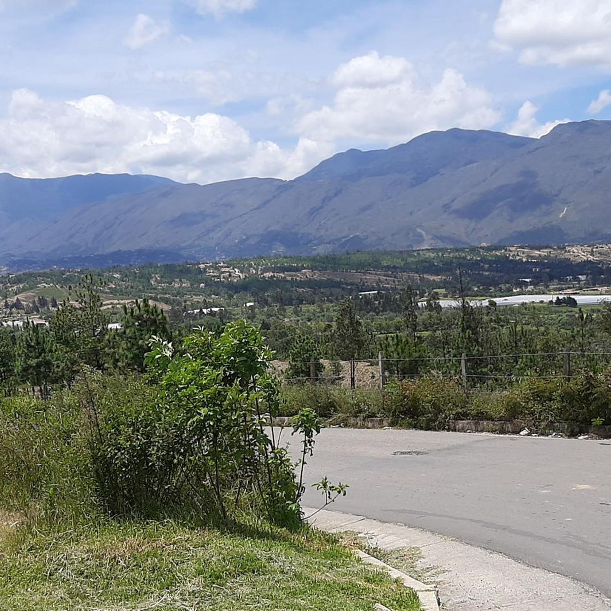
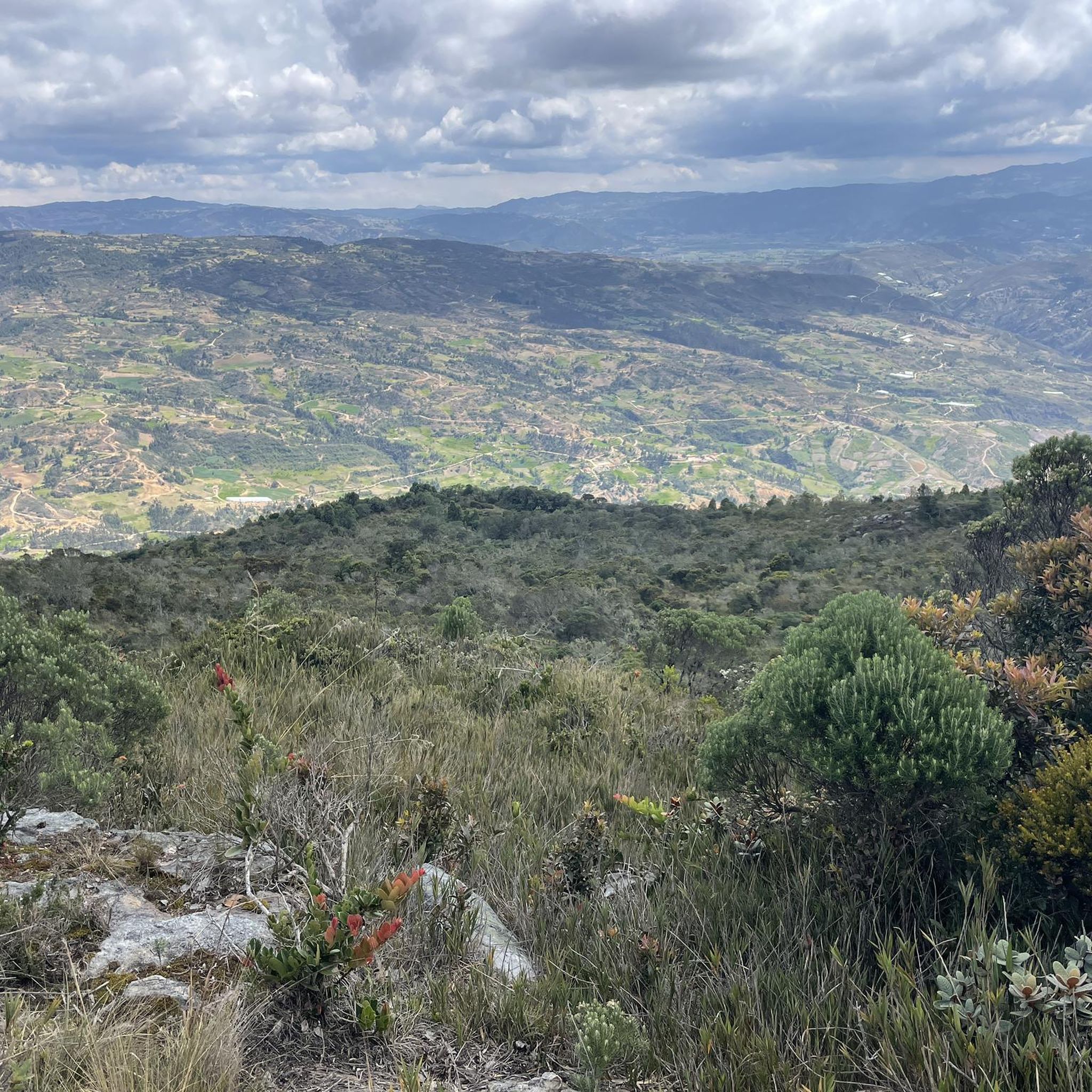
Road cycling in Cucaita, located in the Central Boyacá Province of Colombia, offers routes through the Eastern Cordillera of the Colombian Andes. The region is characterized by verdant mountains and an elevated setting on the Altiplano Cundiboyacense, at approximately 2,650 meters (8,690 feet) above sea level. This topography provides a landscape with challenging climbs and lumpy roads, typical of the broader Boyacá department. Cyclists can expect varied terrain with scenic views throughout the area.
Best road cycling routes in Cucaita
…Last updated: July 15, 2026
5.0
(3)
106
riders
44.5km
02:09
610m
610m
Moderate road ride. Good fitness required. Mostly well-paved surfaces and easy to ride.
4.6
(15)
106
riders
51.1km
02:24
560m
560m
Moderate road ride. Good fitness required. Mostly well-paved surfaces and easy to ride.

Sign up for free
5.0
(3)
81
riders
72.0km
03:49
1,290m
1,290m
Hard road ride. Very good fitness required. Some segments of this route may be unpaved and difficult to ride.
72
riders
126km
06:56
2,530m
2,530m
Hard road ride. Very good fitness required. Some segments of this route may be unpaved and difficult to ride.
4.5
(2)
69
riders
61.3km
03:00
880m
880m
Moderate road ride. Good fitness required. Mostly well-paved surfaces and easy to ride.
Get access to more routes and recommendations from other explorers.
Sign up for free
Already have an account?
Our route recommendations are based on thousands of hikes, rides, and runs completed by other people on komoot.
Start today with a free account
Your next adventure awaits.
Login or Signup
Popular around Cucaita


Tips from the Community

A place of passage, the store and the restaurant seem a bit expensive to me. Just for reference point, 5 photos and on.
0
0
Be careful with the trucks, because the road from the dual carriageway is narrow and in fair condition. Beautiful landscapes
0
0

crossing from pte de Boyacá to Samacá, a different tone within the landscape is easy to see, the mountains and the proximity to Villa de Leyva begin to be noticed, yellow and reddish tones, sandstone and cliffs..
0
0
Emblematic tourist site where one of the battles of Simón Bolívar was fought. You have to go down and visit it, free to the public.
0
0
Good ascent, very comfortable, on the trip to Villa de Leyva. Be careful on the descent towards Sámaca, sometimes with dense fog, always wear good front and rear lights.
0
0


How can you enter the velodrome?
0
0

Frequently Asked Questions
How many road cycling routes are available in Cucaita?
Cucaita offers a diverse selection of over 30 road cycling routes. These routes cater to various skill levels, with options ranging from easy to difficult, ensuring there's a suitable ride for every cyclist.
What is the typical terrain like for road cycling in Cucaita?
The terrain in Cucaita is characterized by the verdant, mountainous landscape of the Eastern Cordillera of the Colombian Andes. Cyclists can expect a rewarding rollercoaster of hills, featuring both hefty climbs and lumpy roads. The elevated setting on the Altiplano Cundiboyacense provides scenic views and a challenging yet beautiful environment for road cycling.
What are the difficulty levels of road cycling routes in Cucaita?
Road cycling routes in Cucaita are categorized into various difficulty levels. You'll find approximately 4 easy routes, 13 moderate routes, and 17 difficult routes. This variety ensures that both beginners and experienced cyclists can find suitable challenges.
Are there any family-friendly road cycling routes in Cucaita?
Yes, Cucaita does offer some easier road cycling options suitable for families or those looking for a less strenuous ride. There are approximately 4 routes classified as easy, which typically involve less elevation gain and shorter distances, allowing for a more relaxed experience amidst the scenic landscapes.
What landmarks or points of interest can I see along road cycling routes in Cucaita?
While cycling in Cucaita, you can experience the town's welcoming atmosphere with its colonial-style architecture and main park. A significant point of interest for cyclists is the monument honoring Rafael Antonio Niño, a celebrated local road cyclist. The routes themselves wind through picturesque green landscapes and mountains, offering constant scenic views.
What do other road cyclists enjoy most about cycling in Cucaita?
The road cycling experience in Cucaita is highly rated by the komoot community, with an average score of 4.5 stars from over 50 reviews. Cyclists often praise the challenging yet rewarding terrain, the breathtaking views of the Eastern Cordillera, and the immersive experience of riding through quiet rural roads with minimal traffic.
What is a popular moderate road cycling route in Cucaita?
A top favorite among local road cyclists is El Barne Roundabout – Puerto 1 loop from Tunja. This moderate 30.1-mile (48.5 km) path features sustained ascents and descents across picturesque mountainous terrain, typically taking around 2 hours and 17 minutes to complete.
Can you recommend a challenging road cycling route in Cucaita?
For those seeking a challenge, the Puente de Boyacá – Tunja Velodrome loop from Tierranegra is a popular choice. This difficult 44.9-mile (72.2 km) trail leads through the Eastern Cordillera of the Colombian Andes, often completed in about 3 hours and 52 minutes, offering significant elevation changes.
What is the best time of year for road cycling in Cucaita?
Cucaita, situated at an altitude of approximately 2,650 meters (8,690 feet) above sea level, enjoys a cool average annual temperature of 14.2 °C (57.6 °F). This pleasant climate provides comfortable conditions for cycling throughout much of the year. It's always advisable to check local weather forecasts closer to your planned visit.
Are there any long-distance road cycling routes available?
Yes, for cyclists looking for longer distances, routes like the Alto de Sote – Central Park loop from Tunja offer a substantial ride. This difficult route spans 78.5 miles (126.4 km) and involves significant elevation gain, making it a demanding yet rewarding option for experienced riders.
Is there a road cycling route that explores the green landscapes and rolling hills?
Absolutely. The Lago ramires loop from Sáchica is a popular 27.7-mile (44.5 km) route that navigates through the region's characteristic green landscapes and rolling hills, providing a quintessential Cucaita cycling experience.
What kind of elevation gain can I expect on Cucaita's road cycling routes?
Cucaita's location in the Eastern Cordillera means significant elevation changes are common. Routes can feature substantial climbs; for example, the Alto de Sote – Central Park loop from Tunja involves over 2,500 meters of ascent, while even moderate routes like El Barne Roundabout – Puerto 1 loop from Tunja include over 560 meters of climbing.
Most popular routes in Cucaita

Get inspired with the komoot mobile app


Explore more
Browse the best Road cycling routes in other regions.
