The best MTB trails in Cucaita
4.9
(377)
1,368
riders
127
rides
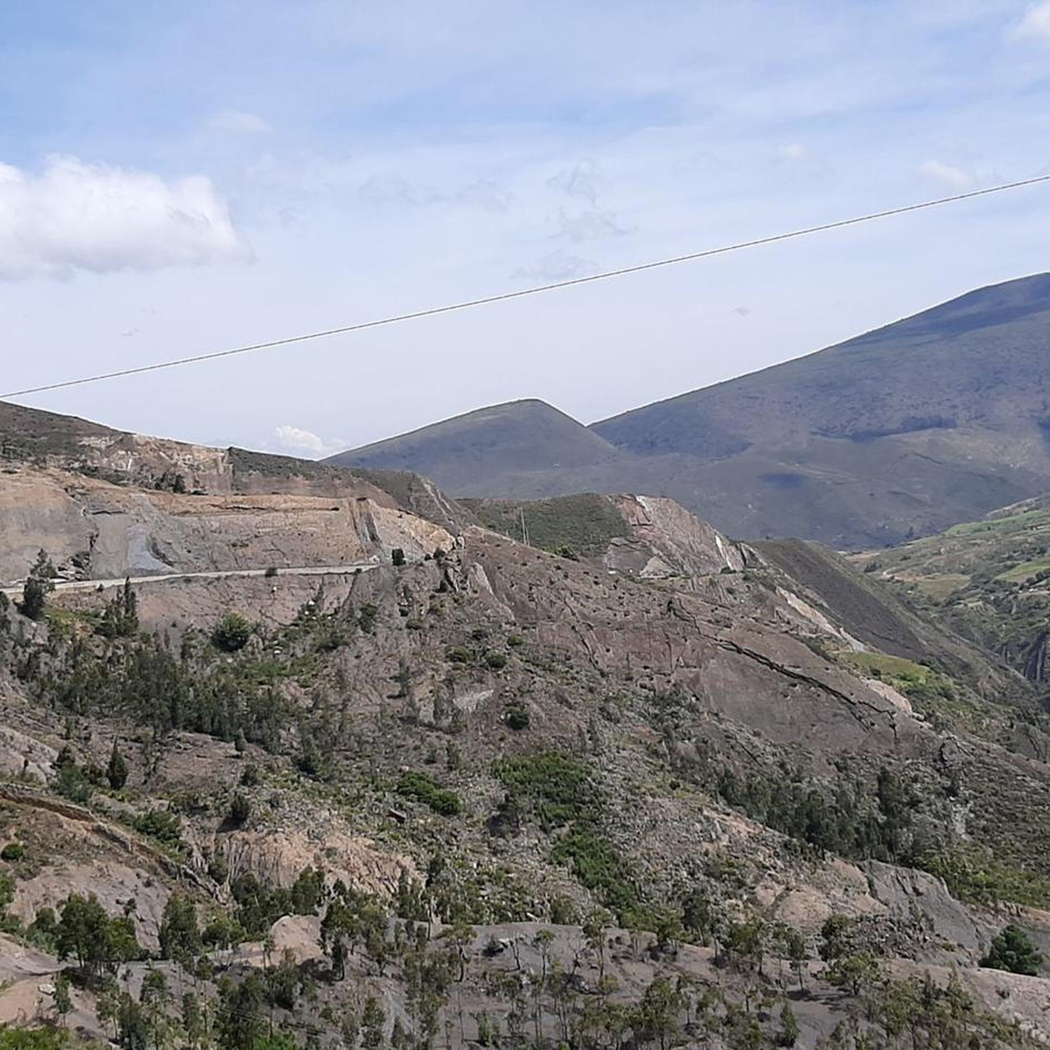
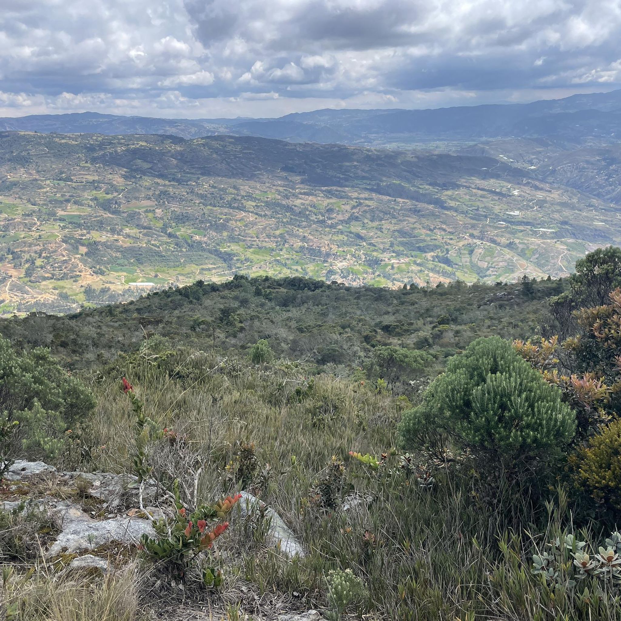
Mountain bike trails in Cucaita are set within the mountainous terrain of Colombia's Boyacá Department, part of the Eastern Mountain Range. The region features an approximate altitude of 8,694 feet (2,650 meters) above sea level, providing varied elevation for mountain biking. The landscape includes cultivated fields, natural areas, and rugged formations, offering diverse riding experiences. This topography inherently supports a range of mountain biking routes.
Best mountain bike trails in Cucaita
- The most popular mountain bike trail is Chivatá – Cruz de Piedra loop from Tunja, a 19.3 miles (31.0 km) moderate trail that takes 2 hours 8 minutes to complete, traversing varied mountainous terrain.
- Another top favourite among local mountain bikers is Antennas Near Motavita – Comfaboy Coliseum Tunja loop from Tunja, a moderate 26.3 miles (42.3 km) path offering expansive views across the high-altitude landscape.
- Local mountain bikers also love the Comfaboy Coliseum Tunja – Cómbita Park, Boyacá loop from Tunja, a 25.3 miles (40.7 km) trail leading through the region's diverse cultivated fields and natural areas, often completed in about 2 hours 42 minutes.
- Mountain biking in Cucaita is defined by mountainous terrain, cultivated fields, and diverse landscapes. The network offers options for easy, moderate, and difficult routes, catering to various skill levels.
- The routes in Cucaita are highly rated by the komoot community with an average score of 4.9 stars from more than 300 reviews. More than 1,400 mountain bikers have used komoot to explore Cucaita's varied terrain.
Last updated: July 15, 2026
5.0
(20)
48
riders
30.9km
02:08
420m
420m
Moderate mountain bike ride. Good fitness required. Suitable for all skill levels.
4.9
(10)
41
riders
25.2km
02:09
470m
470m
Moderate mountain bike ride. Good fitness required. Suitable for all skill levels.

Sign up for free
5.0
(1)
29
riders
53.7km
05:42
1,650m
1,650m
Hard mountain bike ride. Very good fitness required. Advanced riding skills necessary.
5.0
(11)
32
riders
37.0km
03:02
910m
910m
Hard mountain bike ride. Very good fitness required. Suitable for all skill levels.
5.0
(21)
37
riders
42.4km
02:49
430m
430m
Moderate mountain bike ride. Good fitness required. Suitable for all skill levels.
Get access to more routes and recommendations from other explorers.
Sign up for free
Already have an account?
Our route recommendations are based on thousands of hikes, rides, and runs completed by other people on komoot.
Start today with a free account
Your next adventure awaits.
Login or Signup


Tips from the Community

A very beautiful place, with a good climb from Tunja passing through Cruz de Piedra before descending to the municipality of Soracá.
0
0
This is the Church of Oicatá, not that of Santa Rosa de Viterbo
1
0
At this point you will find refreshing drinks and very delicious empanadas with chili.
0
0
This is a sacred place for people with great faith and great hope to improve their physical health.
0
0
Delicious snacks and pastries from Chivatá
0
0
Bakery next to the park, where you can enjoy a good coffee and accompany it with shortbread.
0
0

Cycle walk Comfaboy tenth edition
0
0
Frequently Asked Questions
How many mountain bike trails are available in Cucaita?
Cucaita offers a wide selection of mountain bike trails, with over 130 routes documented on komoot. These trails cater to various skill levels, including 4 easy routes, 83 moderate routes, and 50 difficult routes.
What kind of terrain can I expect on mountain bike trails in Cucaita?
Mountain biking in Cucaita is characterized by its diverse mountainous terrain, situated within Colombia's Eastern Mountain Range. You'll encounter varied elevations, cultivated fields, natural areas, and rugged formations, providing a range of riding experiences. The region's altitude of approximately 8,694 feet (2,650 meters) above sea level contributes to the varied landscape.
What do other mountain bikers enjoy most about the trails in Cucaita?
The mountain bike trails in Cucaita are highly regarded by the komoot community, holding an average rating of 4.9 stars from over 300 reviews. More than 1,400 mountain bikers have explored the area using komoot, often praising the varied terrain and the expansive views across the high-altitude landscape.
Are there any circular mountain bike routes in Cucaita?
Yes, many of the mountain bike trails in Cucaita are designed as loops. For example, the Chivatá – Cruz de Piedra loop from Tunja is a popular moderate route, and the Antennas Near Motavita – Comfaboy Coliseum Tunja loop from Tunja also offers a circular path with expansive views.
What are some notable natural landmarks or viewpoints along the mountain bike trails?
While specific landmarks directly on the trails are not detailed, the region's location in the Cordillera Oriental offers beautiful mountainous landscapes. The area is known for its 'bellos paisajes' (beautiful landscapes), and routes like the Antennas Near Motavita – Comfaboy Coliseum Tunja loop from Tunja provide expansive views across the high-altitude terrain. The historical presence of a large laguna and nearby rugged sandstone formations also suggest scenic points.
What is the best time of year to go mountain biking in Cucaita?
Cucaita experiences a pleasant climate with an average annual temperature of 14.2°C (57.6°F) due to its high altitude. This generally provides a suitable environment for active pursuits year-round. However, for optimal conditions, it's advisable to check local weather forecasts, especially regarding rainfall, as the region's mountainous terrain can be affected by wet conditions.
Are there family-friendly mountain bike options in Cucaita?
Yes, Cucaita offers some easier routes suitable for families or those looking for a less strenuous ride. There are 4 easy trails available, which can be a good starting point for family outings. Always check the specific trail details on komoot for distance and elevation to ensure it matches your family's skill level.
Are dogs allowed on the mountain bike trails in Cucaita?
While specific regulations for dogs on mountain bike trails in Cucaita are not detailed, it's generally recommended to keep dogs on a leash and ensure they are well-behaved, especially in areas that might be shared with agricultural activities or other users. Always practice Leave No Trace principles.
Where can I find parking for mountain biking in Cucaita?
Specific parking facilities for mountain bikers in Cucaita are not explicitly listed. However, many routes, such as those starting 'from Tunja' like the Chivatá – Cruz de Piedra loop, often originate from nearby towns where public parking might be available. It's advisable to research parking options in the starting town of your chosen route.
Are there cafes or accommodation options for mountain bikers in Cucaita?
Cucaita is a tranquil municipality, and while specific cyclist-focused amenities are not widely publicized, its proximity to larger towns like Tunja and Villa de Leyva means that a wider range of cafes, restaurants, and accommodation options are accessible. Cucaita itself offers a serene atmosphere, and local establishments may cater to visitors.
What is the average duration for mountain bike trails in Cucaita?
The duration of mountain bike trails in Cucaita varies significantly depending on the route's length and difficulty. For instance, a moderate trail like the Chivatá – Cruz de Piedra loop from Tunja, which is 19.3 miles (31.0 km), typically takes about 2 hours and 8 minutes to complete. Longer routes, such as the Comfaboy Coliseum Tunja – Cómbita Park, Boyacá loop from Tunja (25.3 miles or 40.7 km), can take around 2 hours and 42 minutes.
Are there any permits required for mountain biking in Cucaita?
There is no information indicating that special permits are required for mountain biking on general trails in Cucaita. However, it's always good practice to respect private property, agricultural land, and any local signage you may encounter on your ride.
Most popular routes in Cucaita

Get inspired with the komoot mobile app


Explore more
Browse the best MTB trails in other regions.
