The 17 Most Amazing Peaks around Ahorntal
Best mountain peaks around Ahorntal, located within Germany's Franconian Switzerland Nature Park, offers a landscape characterized by picturesque valleys, dense forests, and dramatic rock formations. The region features numerous elevated points and historic castle hills rather than traditional towering peaks. These locations are valued for their natural beauty, historical significance, and recreational opportunities. Ahorntal provides a varied and engaging landscape for outdoor activities.
Best mountain peaks around Ahorntal
- The most popular mountain peaks is Kleiner Kulm Observation Tower, a…
Last updated: June 24, 2026
Hohes Kreuz Observation Tower
Highlight • Viewpoint
Translated by Google •
Tip by

Neubürg Plateau and Sculpture Park
Highlight • Viewpoint
Translated by Google •
Tip by

Sign up now to discover places like this
Get recommendations on the best single tracks, peaks, & plenty of other exciting outdoor places.
Sign up for free
Hollenberg Mountain Station
Highlight • Mountain Hut
Translated by Google •
Tip by

Kleiner Kulm Observation Tower
Highlight • Viewpoint
Translated by Google •
Tip by

Sophienberg
Highlight • Summit
Translated by Google •
Tip by

Sign up for free to discover even more peaks around Ahorntal.
Sign up for free
Already have an account?
Start today with a free account
Your next adventure awaits.
Login or Signup
Popular around Ahorntal
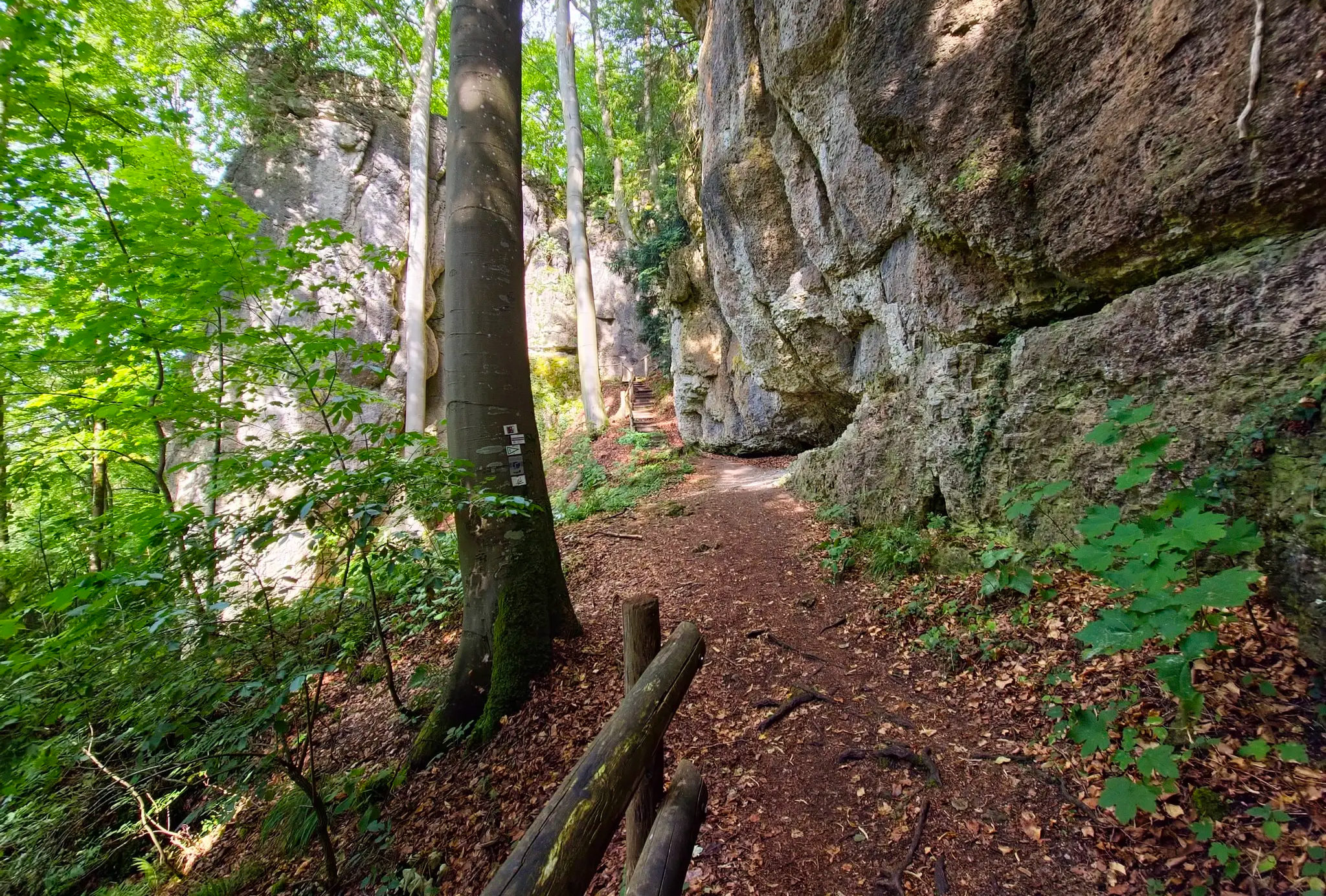
Ultratrail Fränkische Schweiz – 2 Days Burgen, Wälder, Trails
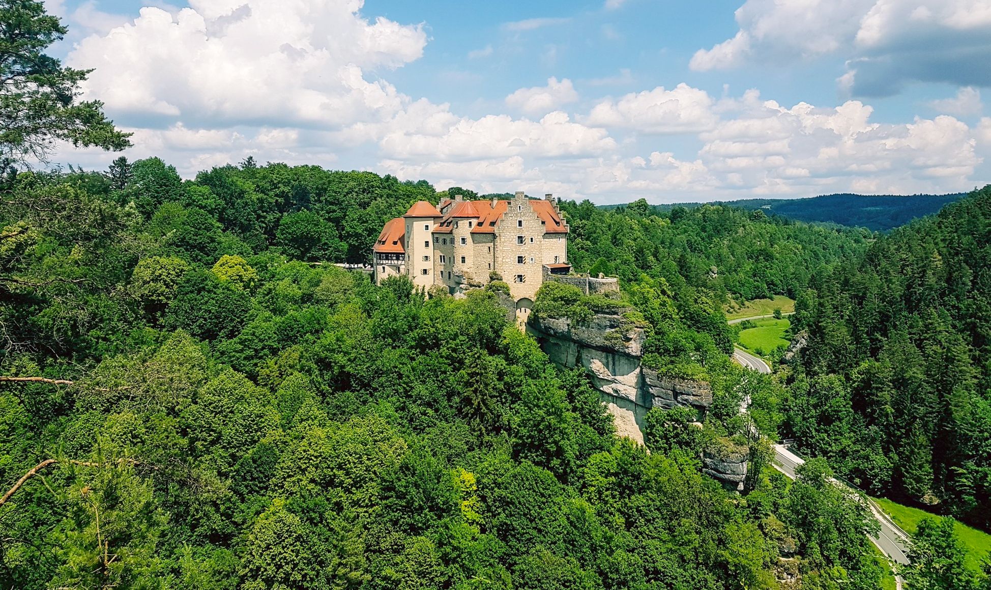
Hikes for tiny boots – VGN recreational activities for families
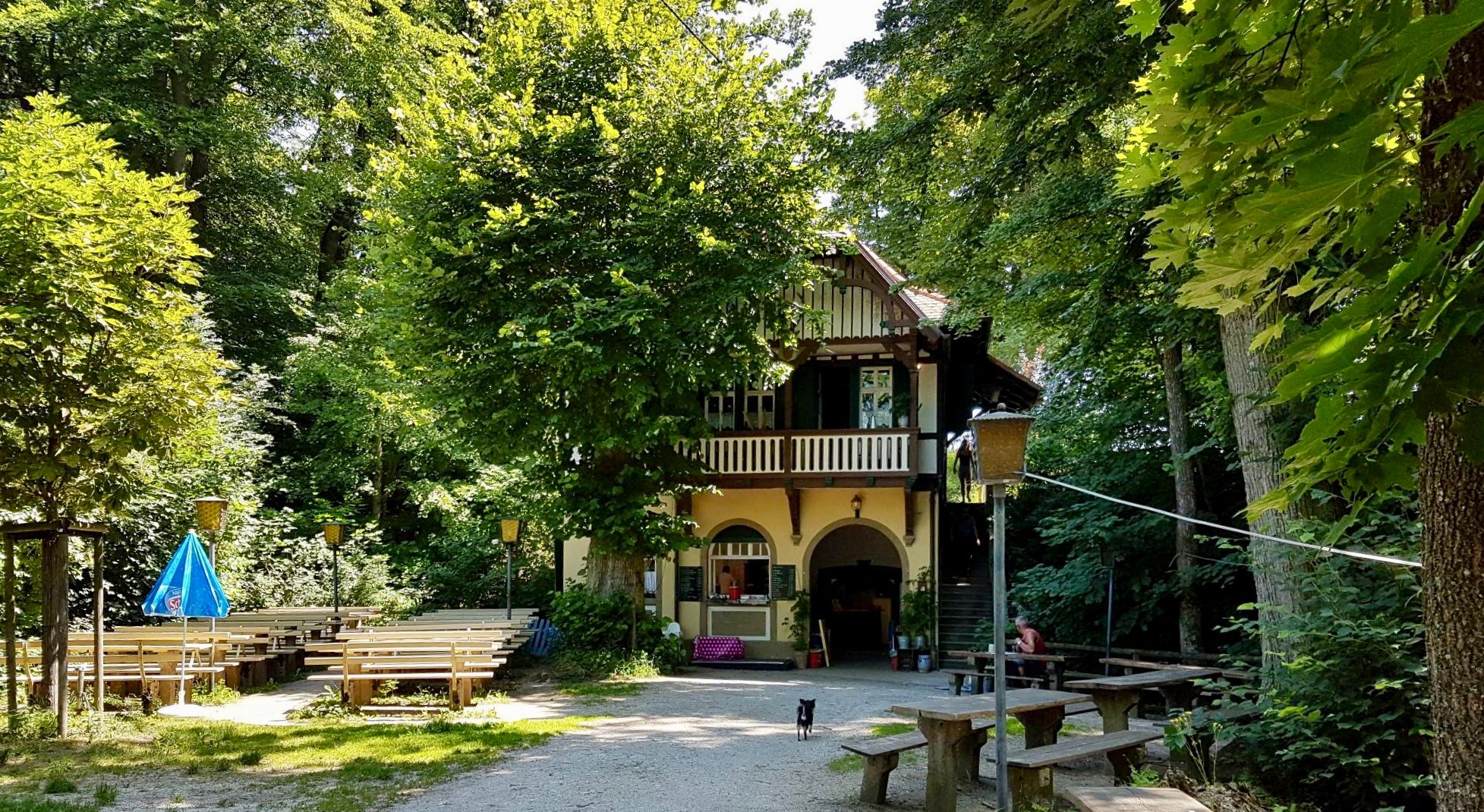
Franconian Switzerland — on the trace of the Purity Law
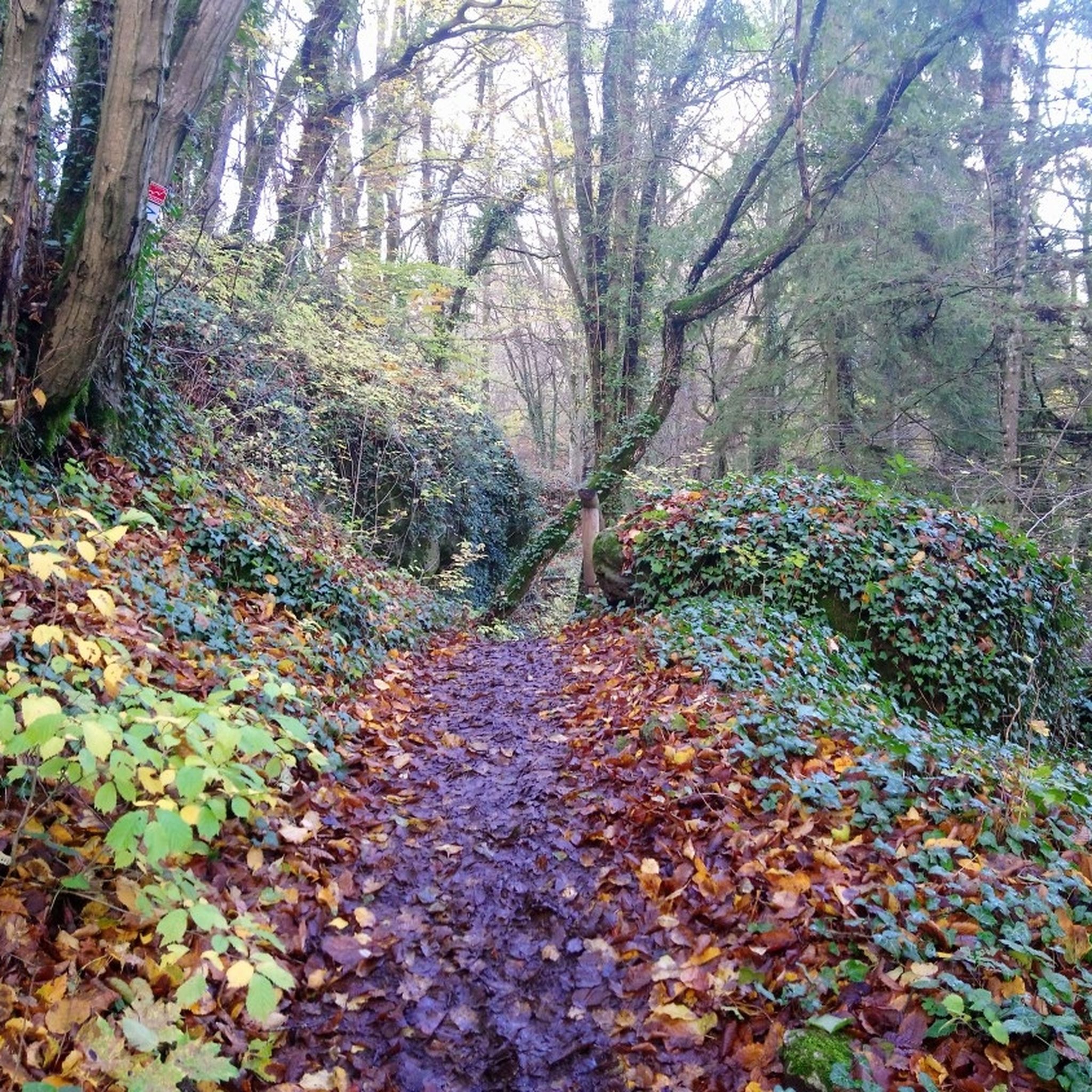
Hiking around Ahorntal
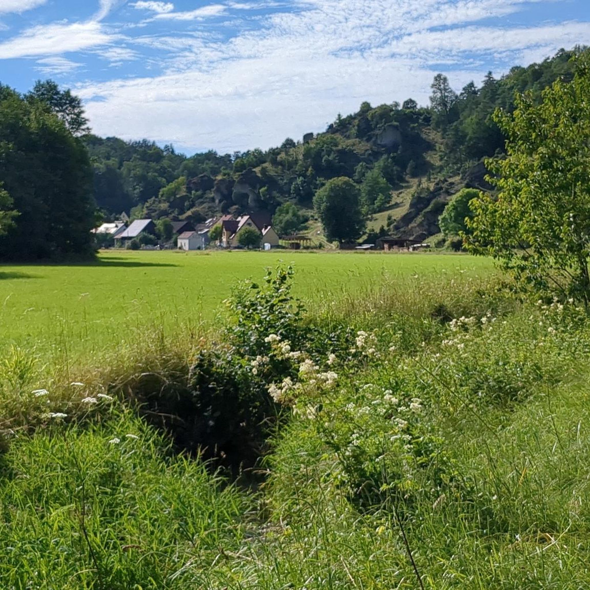
Cycling around Ahorntal
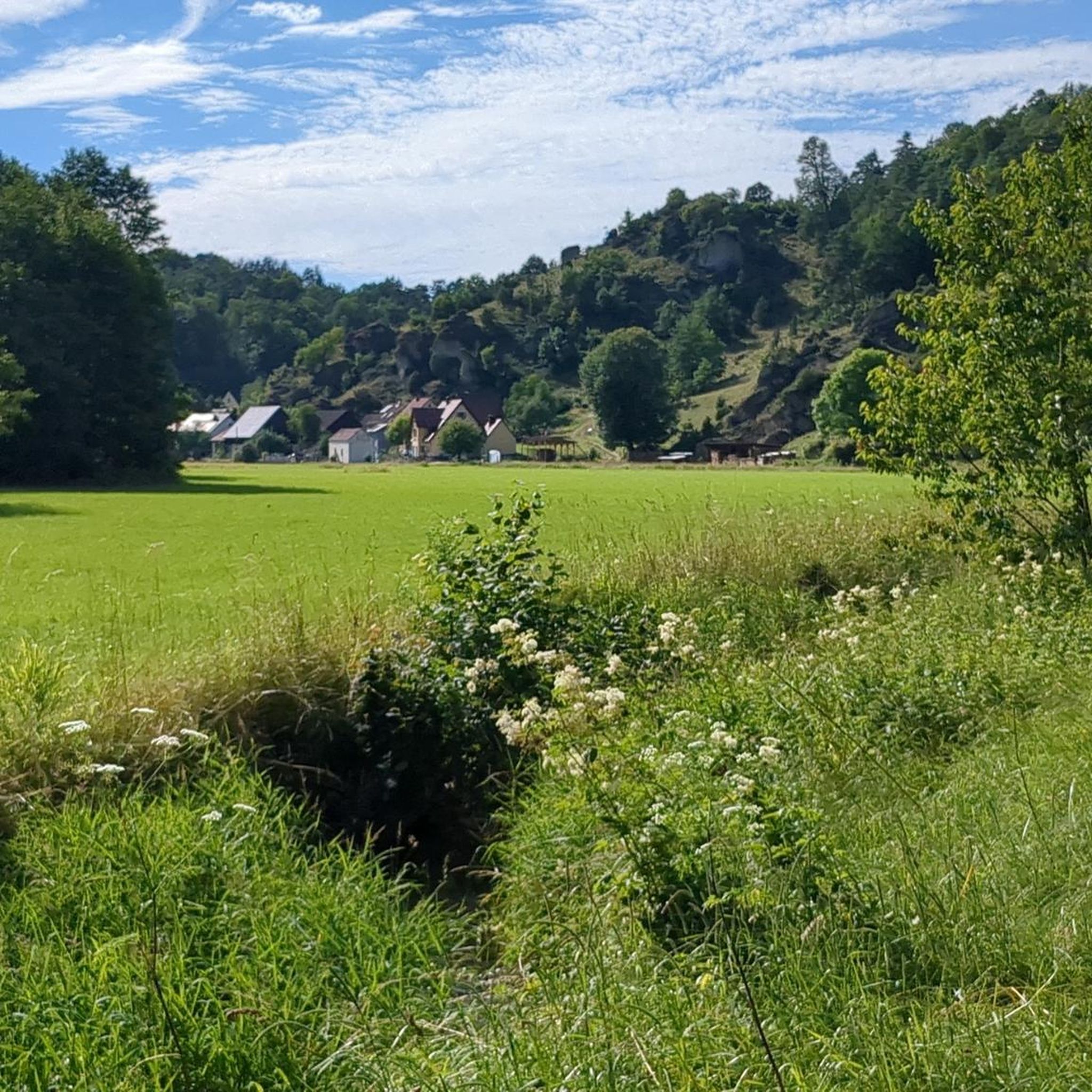
MTB Trails around Ahorntal
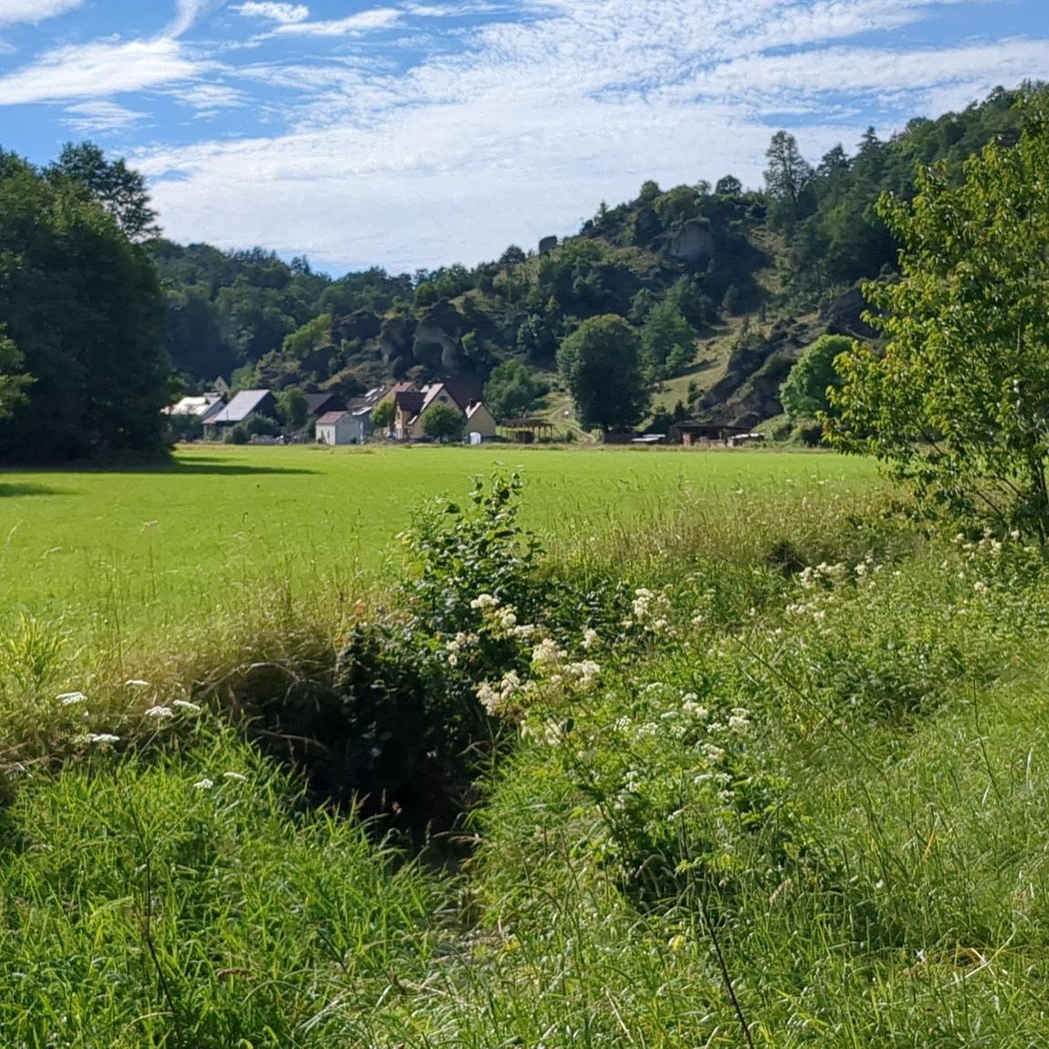
Road Cycling Routes around Ahorntal
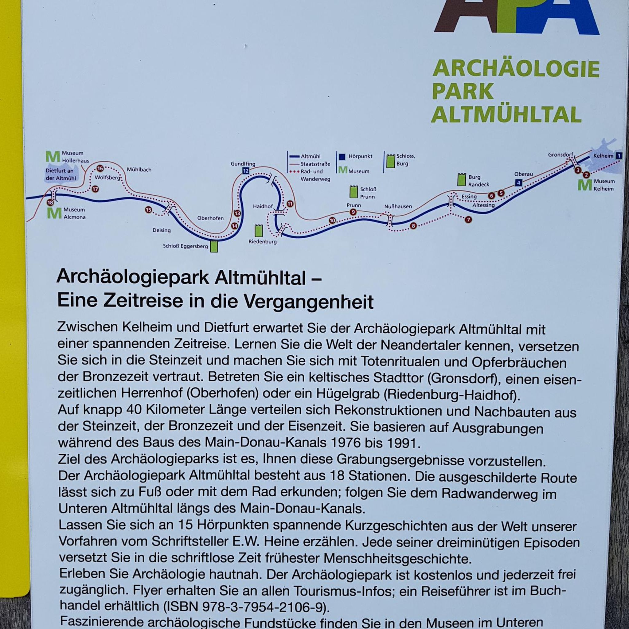
Gravel biking around Ahorntal
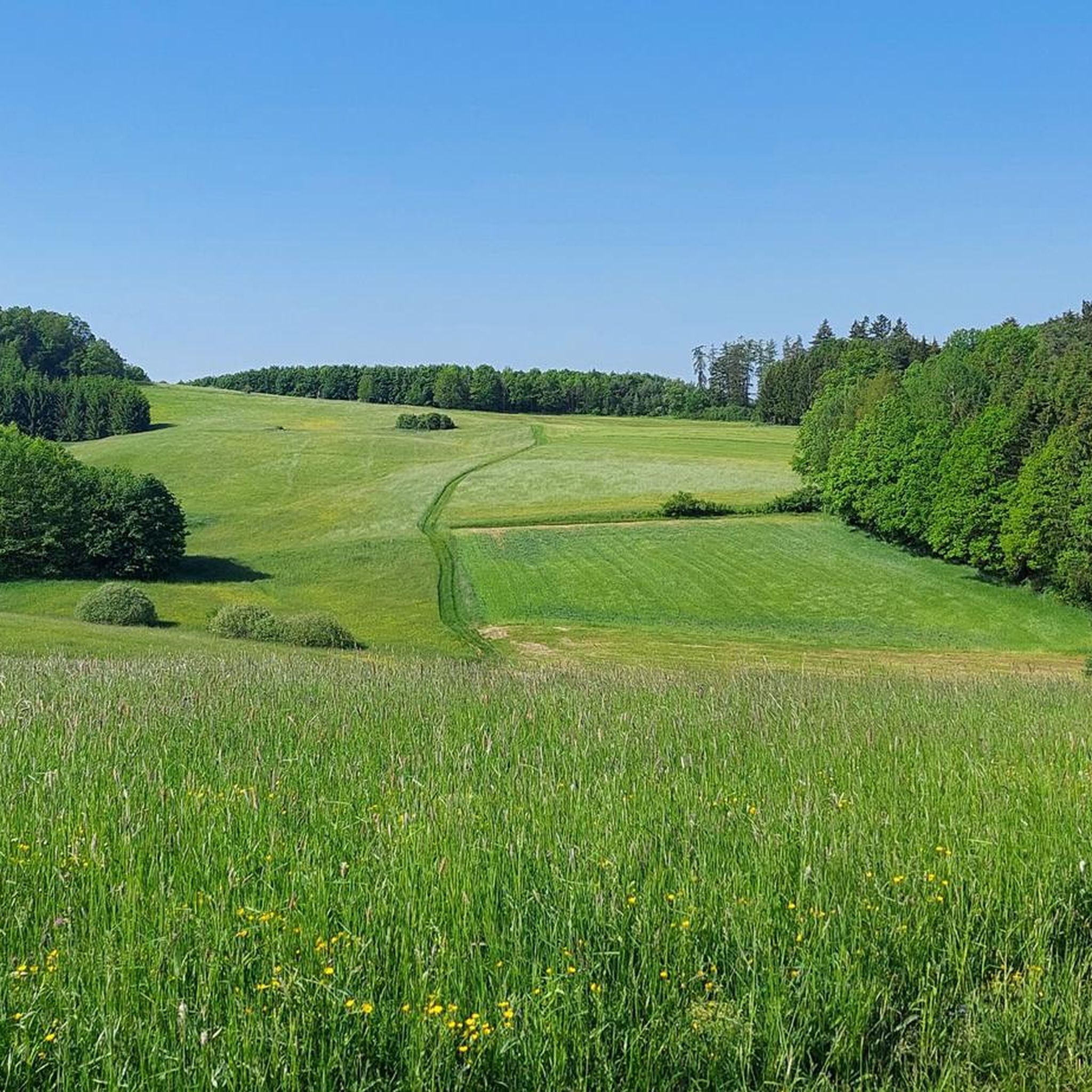
Running Trails around Ahorntal
Mountain Hikes around Ahorntal
Other adventures around Ahorntal


Tips from the Community

At the summit, you'll enjoy a schnapps. Unfortunately, there's no view from the summit.
0
0

Since the community of Obernschreez suffered no casualties in the First World War, it planted an oak tree on the mountain in commemoration. The community of Schreez (formed in 1939 from the merger of Obernschreez and Unternschreez) erected a memorial on the mountain in 1952 for the fallen and missing soldiers of the Second World War.
11
2
A fortified Celtic hilltop settlement can be traced back to around 550 BC on Sophienberg. In the 12th century, Counts Ulrich and Poppo von Blassenberg built Culmberg Castle. In 1494, Frederick II, Margrave of Brandenburg-Kulmbach, had a watchtower erected there. Nikol von Heerdegen built a knight's castle on the hill in 1513. In 1614, Heerdegen sold the manor to Margrave Christian's first wife, Marie of Prussia, who had the castle restored. In 1662, Margrave Christian Ernst gave the estates on the hill to his young wife, Erdmuthe Sophie. Between 1663 and 1668, she had the already dilapidated castle converted into a new palace, Sophienburg. Tradition has it that the White Lady haunts this building. It was no longer inhabited by 1687, and from 1724 onward, it was no longer administered. It was left to decay, and only remnants of the foundations remain. The Sophienberg exerted a great attraction on Richard Wagner, who first visited it with his wife Cosima and Malwida von Meysenbug in 1872 during his time in Donndorf.
11
2
The Neubürg table mountain is the second highest elevation in the region at 587 meters, after the Sophienberg (593 meters). It is located in the Mistelgau municipality. The Neubürg was formed in the Jurassic period. The top layer consists of limestone, followed by Ornatenton and iron sandstone. The Neubürg is called a table mountain because it has a flat table surface instead of a dome. Due to the erosion-related formation, the Neubürg is also called an island or witness mountain. It stands like an island in the further eroded environment and "witnesses" the rock layers that previously covered the entire area.
13
3

Beautiful mountain, with both flat and steep climbs. However, there is no expansive view at the summit, but rather a kind of plateau.
4
2

To the east of the summit runs the A9 motorway, which can be clearly heard at times. The lower northern circular route offers a magnificent view over Bayreuth, into the Franconian Forest, and into the Fichtel Mountains. If I'm not mistaken, the Sophienberg is the second-highest mountain in the area, following the Neubürg table mountain.
3
2

There is a bench just below the tower. Ideal for snacks.
15
0

Nice rest area unfortunately closed
3
0
Frequently Asked Questions
What are the most notable elevated points and viewpoints in Ahorntal?
Ahorntal offers several impressive elevated points and viewpoints. Among the most popular are the Kleiner Kulm Observation Tower, which at 626 meters is one of the highest elevations in Franconian Switzerland, providing wide views of the Franconian Forest and Fichtelgebirge. The Neubürg Plateau and Sculpture Park, a 586.8-meter table mountain, offers panoramic views of northeastern Franconian Switzerland and the Bamberg area. Additionally, the Hohes Kreuz Observation Tower provides excellent all-round views of the surrounding landscape.
Are there any historical sites or castle hills to explore in Ahorntal?
Yes, Ahorntal is rich in historical significance. The Klausstein rock formation features the historic Klausstein Chapel, with parts dating back to the 11th century, offering magnificent views over the Ailsbach valley. The Sophienberg, at 594 meters, is a historical site with remnants of a Celtic hilltop settlement and various castles built over centuries. You can also find the remains of a medieval nobleman's castle on the Schlossberg near Haidhof, also known as "Flöss" or "Heidenstein".
What natural features can I expect to see around Ahorntal's elevated points?
The region is characterized by picturesque valleys, dense forests, and dramatic rock formations. Below the Klausstein rock, you can explore the Sophienhöhle (Sophie's Cave), one of Germany's largest and most beautiful stalactite caves. The Neubürg Plateau is a unique table mountain formed in the Jurassic period, offering insights into geological history. Many elevated points, like Hohe Leite, provide expansive views of this varied landscape.
What is the best time of year to visit Ahorntal for outdoor activities?
The best seasons for exploring Ahorntal's elevated points and enjoying outdoor activities are spring and summer, when nature is in full bloom. Autumn is also highly recommended, as the landscape transforms into a vibrant display of colors, making for particularly scenic hikes.
Are there family-friendly elevated points or viewpoints in Ahorntal?
Yes, several spots are suitable for families. The Hohe Leite viewpoint is noted as family-friendly, offering a great view with benches and a table for resting. Many of the observation towers, like the Kleiner Kulm Observation Tower, are accessible via moderate trails, making them enjoyable destinations for families looking for rewarding views.
What kind of hiking trails are available near Ahorntal's elevated points?
Ahorntal offers a variety of hiking trails, ranging from moderate to challenging, allowing visitors to experience the impressive rock formations and picturesque valleys. You can find numerous routes, including circular tours and trails leading to specific viewpoints. For more detailed information and route options, explore the Hiking around Ahorntal guide.
What other outdoor activities can I do near the mountain peaks of Ahorntal?
Beyond hiking, Ahorntal provides opportunities for other outdoor sports. You can find various running trails, including loops from Ahorntal itself or longer routes around Rabenstein Castle and Sophien Cave. For cyclists, there are road cycling routes that take you through scenic areas like the Hummeltal–Mistelgau Cycle Path. Check out the Running Trails around Ahorntal and Road Cycling Routes around Ahorntal guides for more options.
What do visitors enjoy most about the elevated points in Ahorntal?
Visitors particularly appreciate the panoramic views from the observation towers and elevated plateaus, such as the Kleiner Kulm and Neubürg Plateau. The combination of natural beauty, historical sites like the Klausstein Chapel, and the unique geological formations like the Sophienhöhle cave makes the region a fascinating destination. The komoot community has shared over 1000 photos and given more than 2000 upvotes, highlighting the region's appeal.
Is the Adlitzberg accessible for hikers, and what does it offer?
Adlitzberg is an elevated area that forms part of the scenic hiking experiences in the region, particularly known for its inclusion in the "Ahorntal Beer Hiking Trail." While not a distinct peak, it contributes to the rolling, forested landscape characteristic of Franconian Switzerland and offers pleasant views. It's a great option for hikers looking to combine outdoor activity with local cultural and culinary experiences.
What is the difficulty level of hiking to the elevated points in Ahorntal?
The difficulty of hikes to Ahorntal's elevated points varies. Many routes leading to observation towers and viewpoints are considered intermediate, requiring a moderate level of fitness. For example, reaching the Hohes Kreuz Observation Tower is often part of moderate to hard mountaineering routes. However, there are also easier trails available, making the region accessible to a range of hikers.
Are there any less crowded hiking options to experience Ahorntal's nature?
While specific 'less crowded' routes aren't explicitly highlighted, exploring trails that lead to lesser-known viewpoints or historical sites like the Schlossberg near Haidhof, which features archaeological remnants, might offer a quieter experience. The region's extensive network of trails means it's often possible to find paths away from the most popular spots, especially during off-peak hours or seasons.
Most popular routes around Ahorntal
Most popular attractions around Ahorntal

Get inspired with the komoot mobile app


Explore more
See even more amazing summits around Ahorntal with these guides:
