The best MTB trails around Ahorntal
4.3
(69)
230
riders
53
rides
Mountain biking around Ahorntal offers diverse landscapes, characterized by rugged rock formations, extensive forests, and tranquil river valleys like the Ailsbachtal. The region features varied terrain, including the Wiesent River and the Neubürg table mountain, providing a mix of challenging trails and scenic routes. Expansive meadows and dense woodlands contribute to the varied natural features of the area.
Best mountain bike trails around Ahorntal
- The most popular mountain bike trail is Jägerstein Trail at Hollerberg – Nankendorf Mill loop from…
Last updated: August 21, 2026
4.8
(6)
15
riders
18.5km
01:26
260m
260m
Moderate mountain bike ride. Great for any fitness level. Advanced riding skills necessary.
4.9
(7)
16
riders
21.0km
01:41
290m
290m
Moderate mountain bike ride. Great for any fitness level. Advanced riding skills necessary.

Sign up for free
4.2
(5)
15
riders
30.7km
02:27
460m
460m
Moderate mountain bike ride. Good fitness required. Advanced riding skills necessary.
4.3
(3)
12
riders
20.8km
01:44
320m
320m
Moderate mountain bike ride. Good fitness required. Advanced riding skills necessary.
4.6
(7)
13
riders
35.8km
02:19
420m
420m
Moderate mountain bike ride. Good fitness required. Suitable for all skill levels.
Get access to more routes and recommendations from other explorers.
Sign up for free
Already have an account?
Our route recommendations are based on thousands of hikes, rides, and runs completed by other people on komoot.
Start today with a free account
Your next adventure awaits.
Login or Signup
Popular around Ahorntal
Ultratrail Fränkische Schweiz – 2 Days Burgen, Wälder, Trails
Hikes for tiny boots – VGN recreational activities for families
Franconian Switzerland — on the trace of the Purity Law
Hiking around Ahorntal
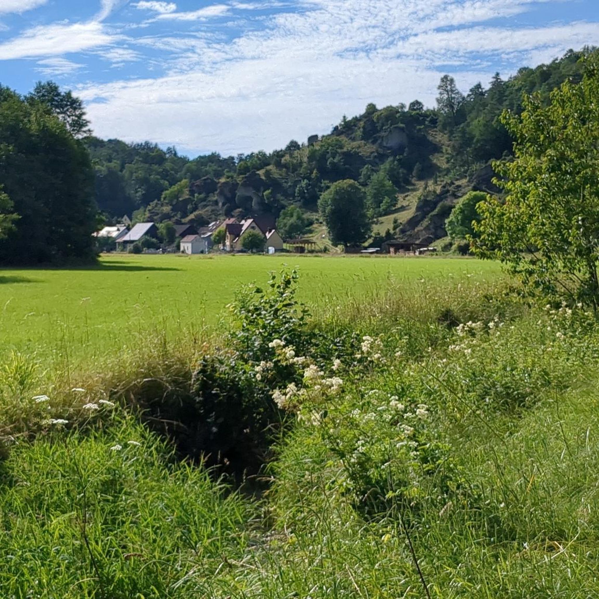
Cycling around Ahorntal
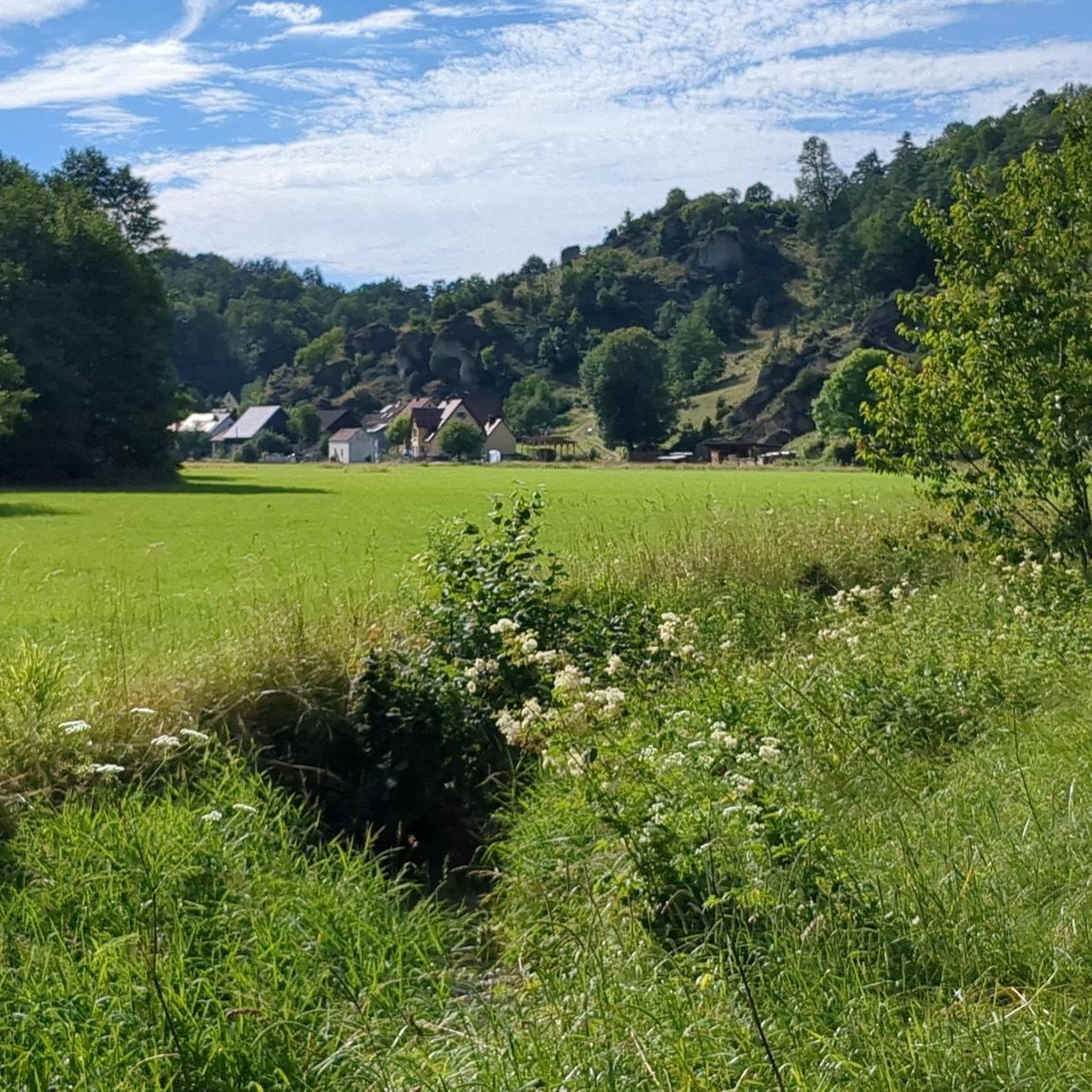
Road Cycling Routes around Ahorntal
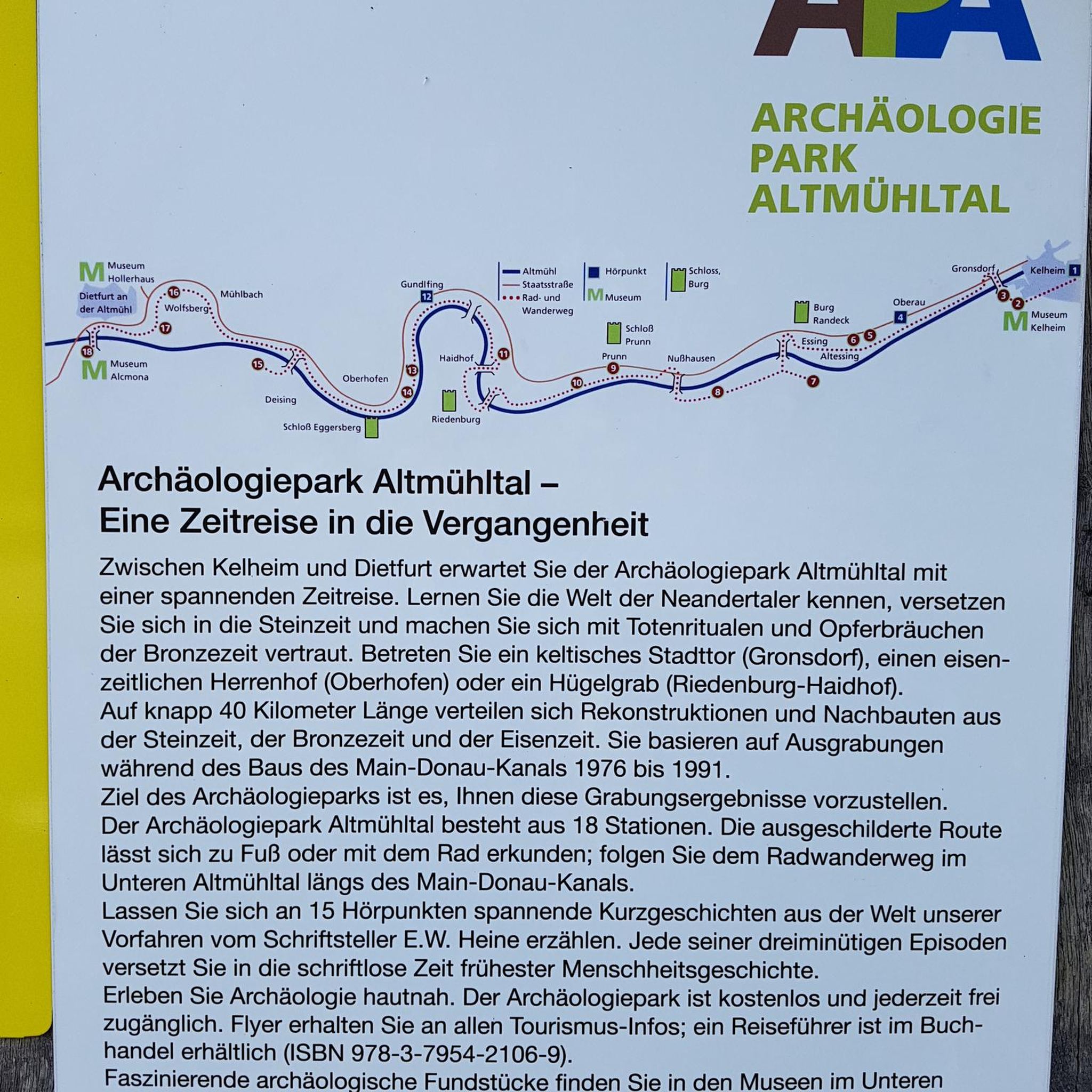
Gravel biking around Ahorntal
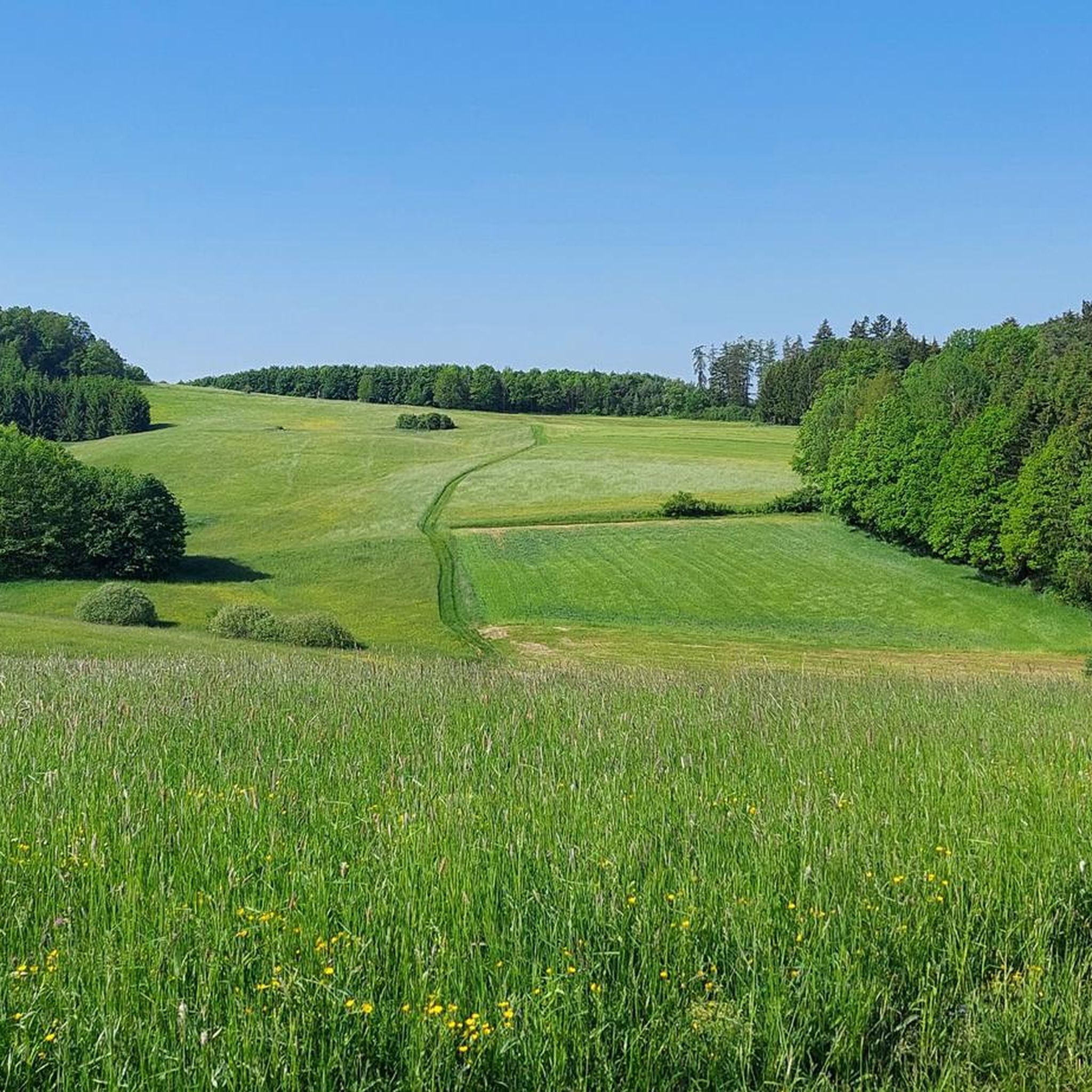
Running Trails around Ahorntal
Mountain Hikes around Ahorntal
Other adventures around Ahorntal


Tips from the Community

Unfortunately, the Schottersmühle is closed again and is for sale
0
0

The village of Hohenmirsberg is located about 7 km north of Pottenstein. Even from a distance, the striking observation tower is visible as a pentagonal wooden structure. It is located on the Hohenmirsberger Platte, at 614 m above sea level, one of the highest elevations in Franconian Switzerland. The first observation tower was built with round timber logs and inaugurated in September 1974. After only 12 years, the tower had to be demolished due to a rotten corner post. In May 1987, the current tower was inaugurated. It is 28 meters high, the viewing platform is at a height of 22 meters. To get up the tower, you have to climb over 100 steps. The tower is freely accessible and open all year round. The Hohenmirsberger Platte is hardly wooded. Therefore, it offers a magnificent panoramic view stretching to the Fichtelgebirge, the Upper Palatinate Forest, the western Swabian Jura, the foothills of the Rhön, and the Franconian Forest.
3
0

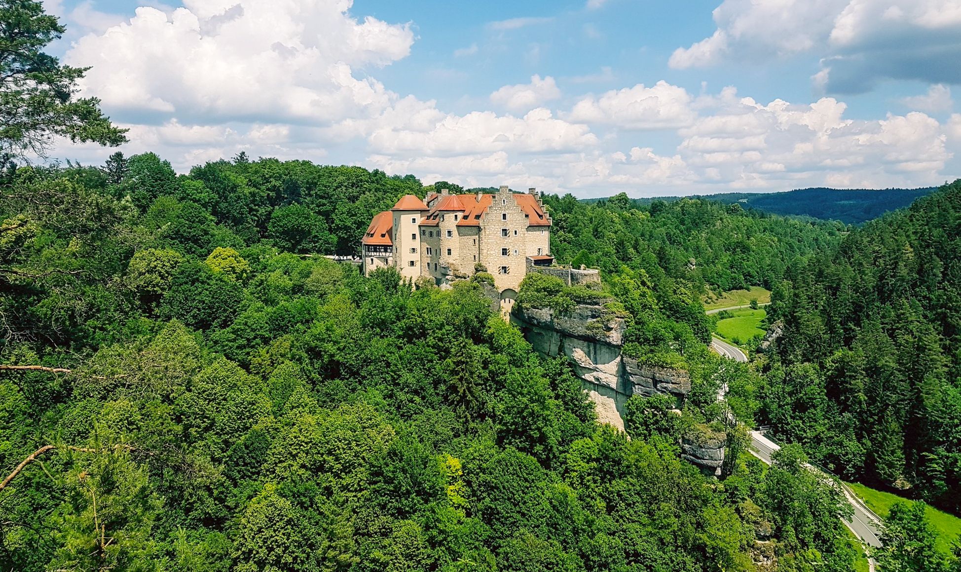
From the Schweinsmühle viewpoint, you have a fantastic view of Rabenstein Castle, the Klaussteinkapelle chapel, and the Ailsbach valley.
0
0

Small spot to rest and catch your breath.
0
0
A broad, wide valley with a gently hilly landscape.
0
0
The Wiesent is the 78-kilometer-long main river of Franconian Switzerland, which flows in numerous natural loops through a romantic Jura valley in the area around Waischenfeld. The water body is characterized by its excellent water quality, cool temperatures, and enormous fish richness, which is why the "Wehrlsche Strecke" above the town is valued throughout Europe as a first-class area for fly fishing.
2
0

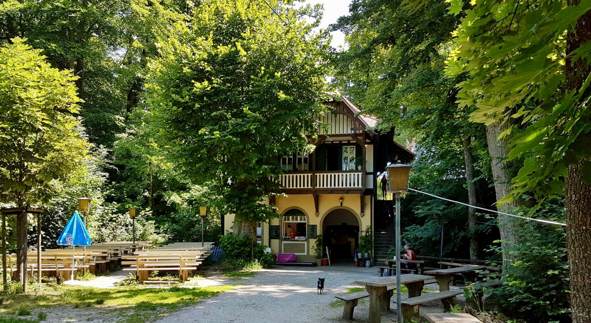
The inn is closed and looks abandoned, unfortunately you can no longer stop here 😐
0
0

Very nice trail section, tight curves, flowing single trail and a few small technical sections every now and then.
2
0
Frequently Asked Questions
How many mountain bike trails are available in Ahorntal?
Ahorntal offers a wide selection of routes, with over 50 mountain bike trails available for exploration. These range from leisurely rides to more demanding tours, catering to various skill levels.
What kind of terrain can I expect on mountain bike trails in Ahorntal?
The terrain in Ahorntal is incredibly diverse, featuring everything from scenic valley paths along the Wiesent River to challenging routes through high alpine landscapes with significant elevation changes. You'll encounter forest paths, single trails, gravel roads, and even routes passing by rugged rock formations like those in the Ailsbachtal.
Are there mountain bike trails suitable for beginners or less experienced riders in Ahorntal?
Yes, Ahorntal has options for less experienced riders. There are 9 easy mountain bike trails, often following valley paths or less technical forest roads, perfect for those looking for a more relaxed ride.
What are some challenging mountain bike trails for advanced riders in Ahorntal?
For advanced riders seeking a challenge, Ahorntal offers 10 difficult trails. One such demanding route is the Tüchersfeld Rock Village – Jägerstein Trail at Hollerberg loop from Gößweinstein, which covers nearly 60 km with over 1300 meters of elevation gain, requiring advanced riding skills and good fitness.
Are there any circular mountain bike routes in Ahorntal?
Many of the mountain bike trails in Ahorntal are designed as circular routes, allowing you to start and finish at the same point. An example is the Gravel road near Hannberg – View of Ahorntal loop from Kirchahorn, which offers scenic views of Ahorntal on a moderate 18.5 km loop.
What natural features or landmarks can I see along the mountain bike trails?
Ahorntal's trails pass by numerous natural wonders and landmarks. You can explore impressive karst formations like the Riesenburg Collapse Cave or the Quackenschloss cave ruin. Some routes also lead past roaring waterfalls, such as the Devil’s Hole Waterfalls or the Wedenbach tufa terraces and waterfall.
Are there any historical or cultural attractions accessible by mountain bike in Ahorntal?
Yes, you can combine your ride with visits to historical sites. The majestic Oswald Cave is a notable highlight. Additionally, the historic Burg Rabenstein, with its falconry, stands impressively over the Ailsbachtal and is a significant point of interest in the region.
What do other mountain bikers enjoy most about mountain biking in Ahorntal?
The area is highly rated by the komoot community, with an average score of 4.3 stars from over 80 reviews. Reviewers often praise the diverse landscapes, the mix of challenging and scenic routes, and the opportunity to explore natural features like caves and rock formations.
What is the best time of year for mountain biking in Ahorntal?
Ahorntal is enjoyable for mountain biking through much of the year. Spring and autumn offer pleasant temperatures and vibrant scenery, while summer provides longer daylight hours. Always check local weather conditions before heading out, especially for higher elevation routes.
Are there any viewpoints along the mountain bike trails in Ahorntal?
Absolutely. Many trails offer stunning panoramic views of the Ahorntal region. The View of Ahorntal – View of Ahorntal loop from Glashüttener Forst is specifically named for its scenic vistas. The Neubürg table mountain, at 587 meters, also provides excellent vantage points.
Are there family-friendly mountain bike trails in Ahorntal?
While specific family-friendly trails aren't highlighted, the 9 easy routes in Ahorntal are generally suitable for families with children who have some biking experience. These trails often follow less technical paths through forests and along valleys, providing a more relaxed riding experience.
Where can I find parking for mountain biking in Ahorntal?
Parking is generally available at the starting points of many trails, particularly in and around towns like Kirchahorn and Glashüttener Forst, which serve as common access points for routes such as the View of Ahorntal – Gasthof Zum Fichta loop from Kirchahorn.
Most popular routes around Ahorntal
Most popular attractions around Ahorntal

Get inspired with the komoot mobile app


Explore more
Browse the best MTB trails in other regions.
