The best running trails around Ahorntal
4.3
(513)
8,040
runners
454
runs
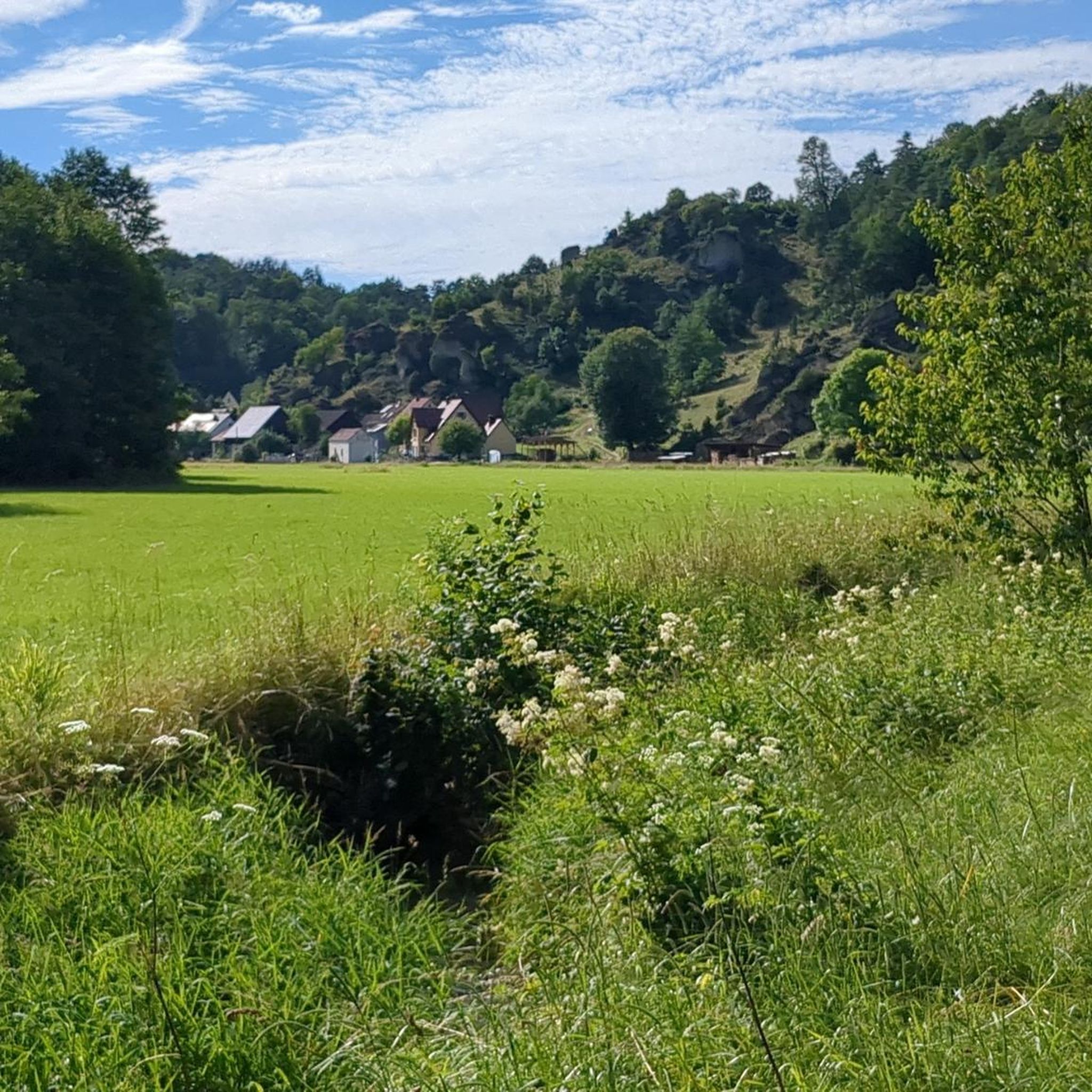
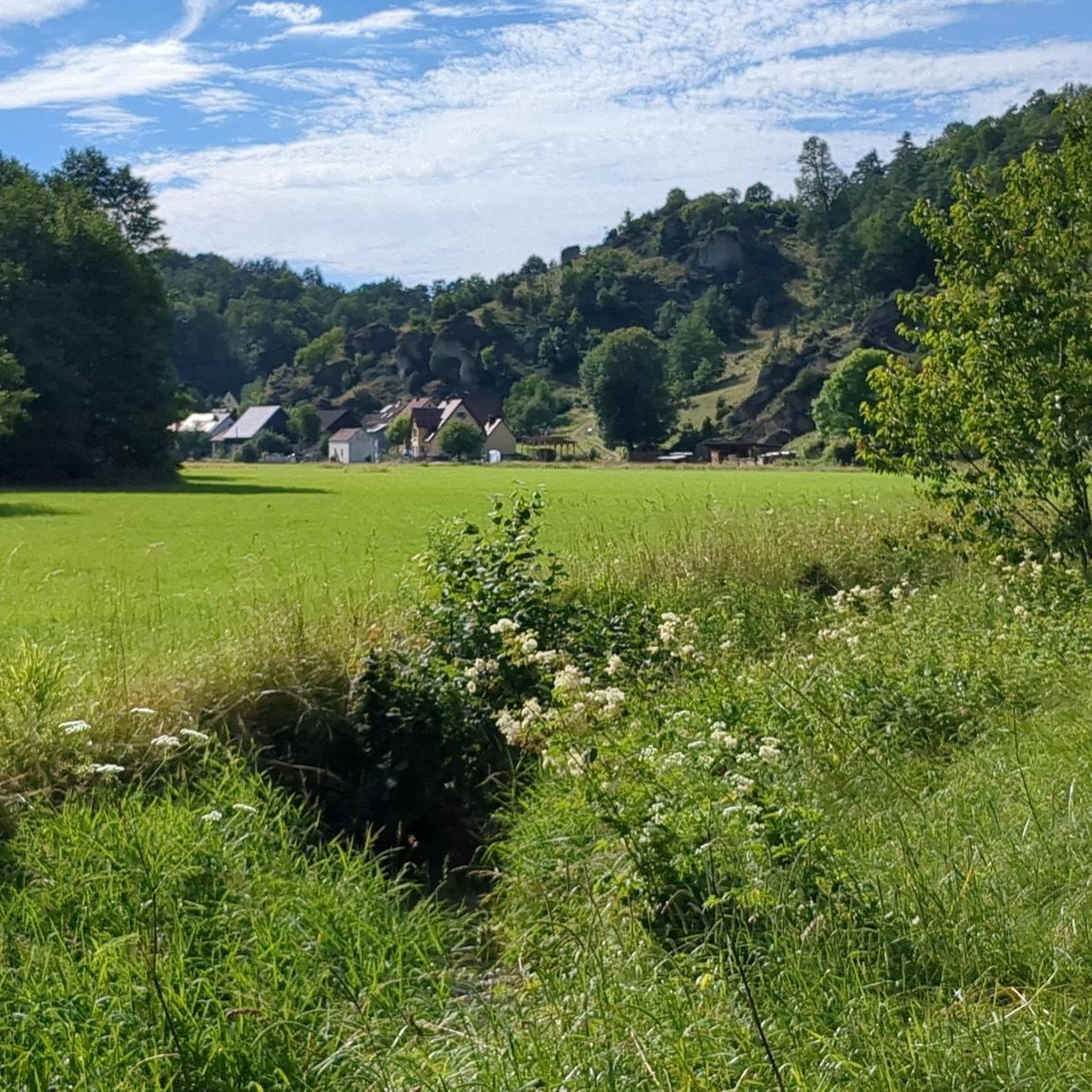
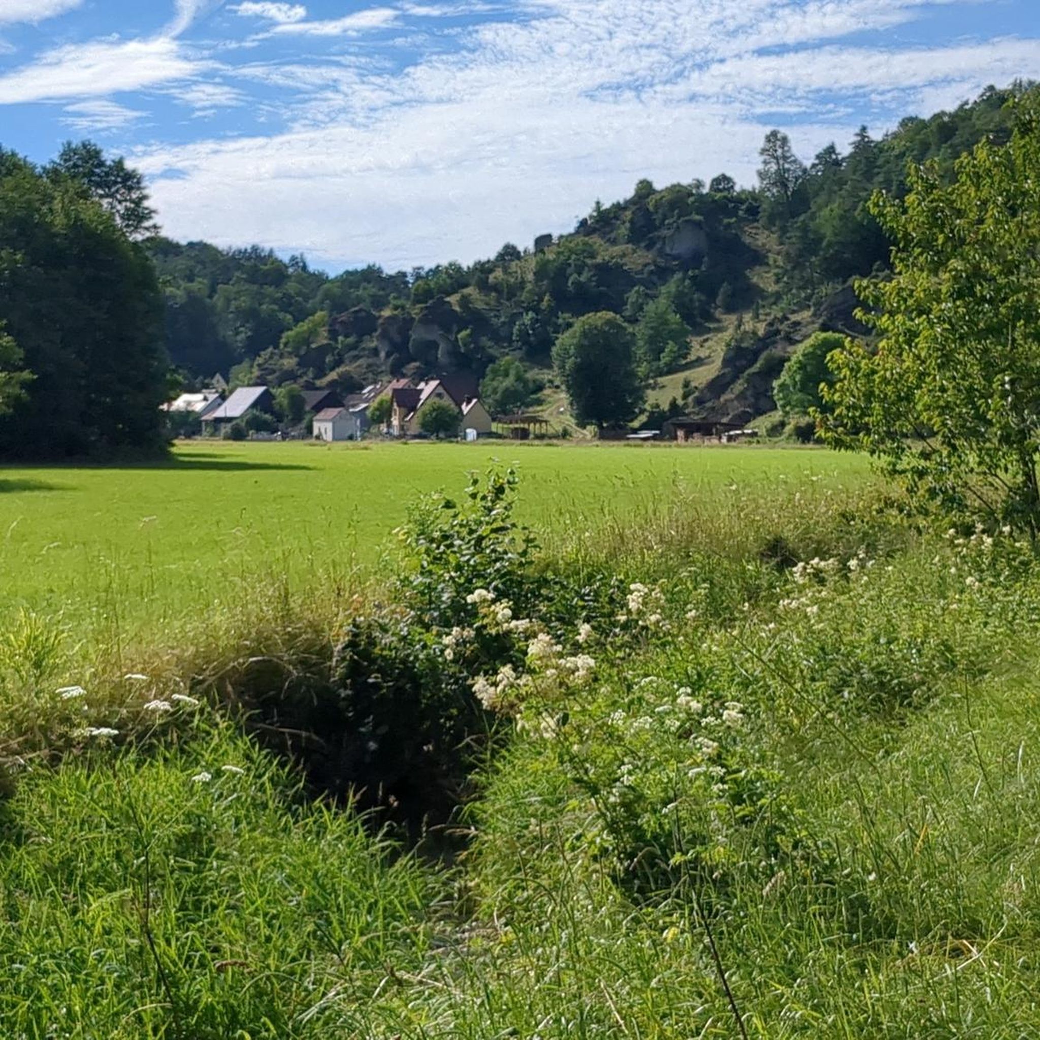
Jogging around Ahorntal offers diverse natural backdrops within Franconian Switzerland. The region features expansive valleys, dense forests, and dramatic rock formations, characteristic of a Jura landscape. Notable areas like the Ailsbachtal provide varied terrain with rugged rock formations and a meandering river. The broader Ahorntal includes lush meadows and extensive forests, creating scenic running routes.
Best jogging routes around Ahorntal
- The most popular jogging route is Sophien Cave – Wiesent Riverbank loop from Burg Rabenstein, a 6.2 miles (10.0…
Last updated: October 13, 2026
5.0
(2)
18
runners
9.99km
01:10
220m
220m
Moderate run. Good fitness required. Mostly paved surfaces. Suitable for all skill levels.
5.0
(2)
16
runners
Moderate run. Good fitness required. Mostly paved surfaces. Suitable for all skill levels.

5.0
(1)
11
runners
16.1km
01:54
320m
320m
Hard run. Very good fitness required. Sure-footedness, sturdy shoes and alpine experience required.
5.0
(2)
18
runners
4.91km
00:34
70m
70m
Easy run. Great for any fitness level. Mostly paved surfaces. Suitable for all skill levels.
2.0
(1)
5
runners
7.41km
00:49
150m
150m
Moderate run. Good fitness required. Mostly paved surfaces. Suitable for all skill levels.
Get access to more routes and recommendations from other explorers.
Already have an account?
Our route recommendations are based on thousands of hikes, rides, and runs completed by other people on komoot.
Start today with a free account
Your next adventure awaits.
Popular around Ahorntal
Ultratrail Fränkische Schweiz – 2 Days Burgen, Wälder, Trails
Hikes for tiny boots – VGN recreational activities for families
Franconian Switzerland — on the trace of the Purity Law
Hiking around Ahorntal
Cycling around Ahorntal
Road Cycling Routes around Ahorntal
Gravel biking around Ahorntal
MTB Trails around Ahorntal
Mountain Hikes around Ahorntal
Other adventures around Ahorntal


Tips from the Community

The idyllic Jura village of Oberailsfeld, a part of the Ahorntal municipality, is among the oldest settlements in the Franconian Switzerland. Its roots reach back to the year 850, while the first documented mention dates from 1094. Characterized by primeval, sheep-grazed juniper slopes and steeply rising dolomite rocks, the village lies idyllically in the valley floor directly on the Ailsbach stream. It serves as a popular starting point for hikes and climbing tours in the region. The village's unmissable architectural landmark is the baroque parish church of St. Burkard from 1770, whose distinctive spire dominates the village scenery. Just a few steps away is the traditional brewery and inn Held-Bräu, another cultural focal point, whose innkeeper's license has been in family ownership for over 300 years. In addition to Franconian hospitality, the village is primarily known for its vibrant traditions: in spring, the village well is artfully decorated as an Easter fountain, and on December 20th, the valley transforms into a mystical backdrop during the solemn torchlight procession for the Eternal Adoration, illuminated by countless mountain bonfires.
2
0
The valley section from Oberailsfeld upstream towards Burg Rabenstein is considered the heart of the Ailsbach valley. On this path, an almost untouched, idyllic river landscape combines with spectacular rock formations and historical discoveries. Completely without any significant gradients, the hiking trail follows the narrow, gently flowing Ailsbach. You walk on soft forest floor or narrow meadow paths, often in the cooling shade of the dense mixed forest. While the stream meanders gently through lush wet meadows, the steep wooded valley slopes rise up to the left and right. Here you also pass the Rennerfels – a striking, rugged rock formation right by the wayside, known as a multi-level cave and an important archaeological site from the Stone Age. The massive dolomite walls that line the valley are not only popular with climbers today, but also offer protected nesting sites for rare birds.
3
0

Located in the middle of the forest, a great destination
0
0

An old telephone booth was converted into a very decorative place.
0
2

For an admission fee of currently €8, you will be treated to a 45-minute guided tour… Good thing and absolutely worthwhile
7
1
Cave located on the promenade that is worth exploring in more detail
11
0

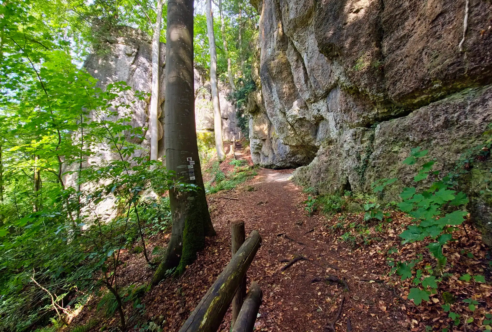
Fairytale trail through the forest and past fascinating rock formations.
0
0

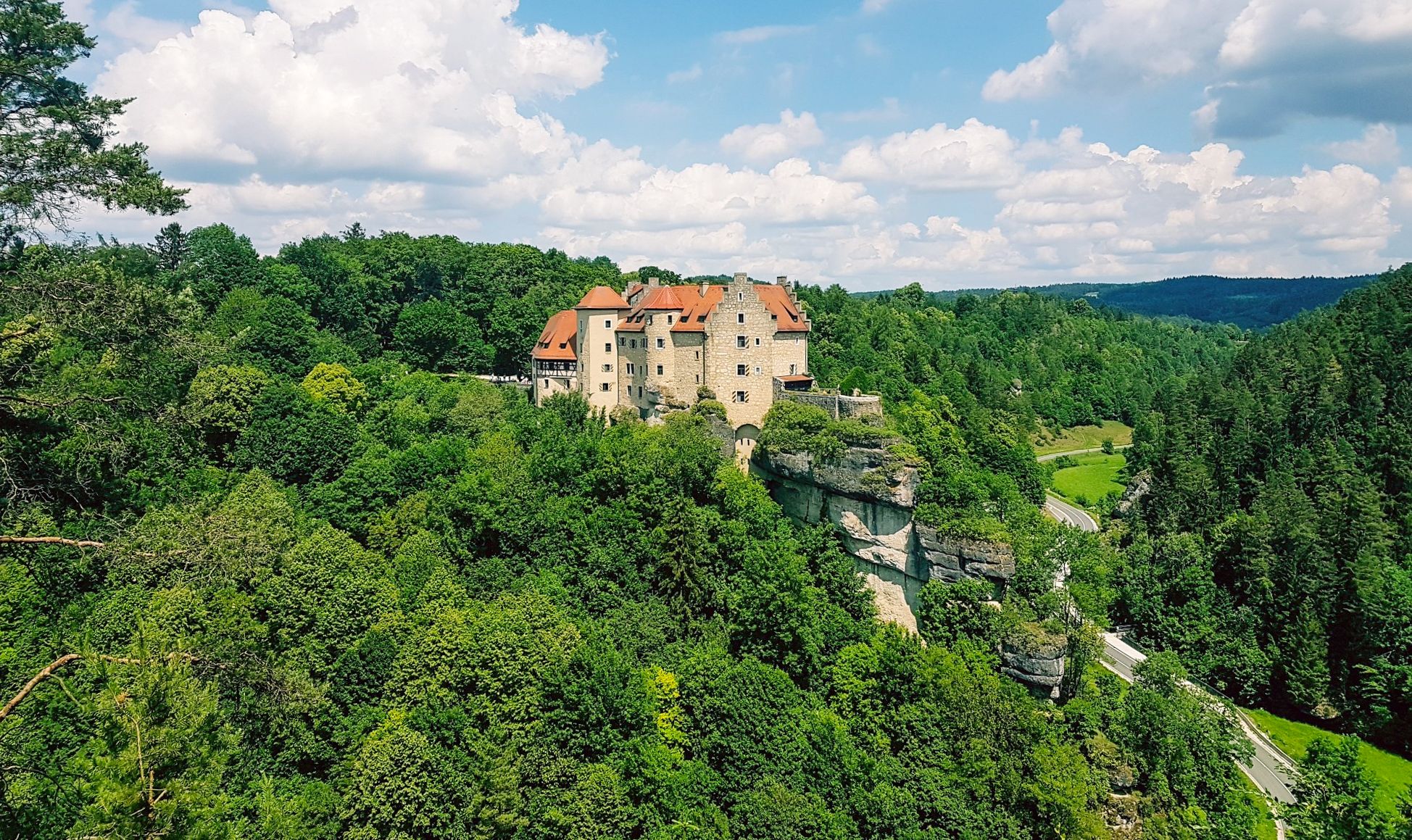
Between the picturesque half-timbered houses, the rock castle towers above the roofs of the village.
1
0
Frequently Asked Questions
How many running routes are available in Ahorntal?
Ahorntal offers a selection of around 10 dedicated running routes. These trails cater to various fitness levels, with 8 moderate and 2 difficult options, ensuring a suitable path for most runners.
What do other runners enjoy most about the trails in Ahorntal?
The running routes in Ahorntal are highly rated by the komoot community, with an average score of 4.4 stars from over 300 reviews. Runners frequently praise the diverse natural backdrops, from expansive valleys and dense forests to dramatic rock formations, and the well-maintained paths that make for an enjoyable experience.
Are there any circular running routes in Ahorntal?
Yes, Ahorntal features several excellent circular running routes. For example, the Sophien Cave – Wiesent Riverbank loop from Burg Rabenstein is a popular moderate 6.2-mile (10.0 km) option. Another great choice is the Running loop from Ahorntal, a shorter 3.2-mile (5.2 km) trail that explores the local landscape.
Are there any challenging running trails for experienced runners?
Yes, Ahorntal offers challenging routes for experienced runners. The Oberailsfeld – Schneider Cave loop from Burg Rabenstein is a difficult 10.0-mile (16.1 km) path featuring varied terrain around the castle and cave formations. Another difficult option is the Rennerfelsen and the Tiered Cave – Sophien Cave loop from Pfaffenberg, spanning 5.7 miles (9.2 km).
Can I find running routes that pass by interesting landmarks or natural features?
Absolutely. Many running routes in Ahorntal incorporate the region's unique landmarks. You can find trails that lead past impressive rock formations, such as those around the Sophienhöhle (Sophie's Cave), or offer views of Rabenstein Castle. The Ailsbachtal itself is known for its rugged rock formations and the meandering Ailsbach river, providing a romantic and varied terrain for runners.
Are there any waterfalls or gorges I can see while running in Ahorntal?
While running directly through waterfalls isn't typical, several routes offer access to areas where you can explore nearby natural water features. The Aftergraben Gorge is a notable natural attraction in the vicinity. You can also find highlights like the Devil’s Hole Waterfalls and the Wedenbach tufa terraces and waterfall nearby, which can be incorporated into a longer run or visited as a scenic detour.
What kind of landscape can I expect on a run in Ahorntal?
Ahorntal offers a diverse and picturesque landscape typical of Franconian Switzerland's Jura region. You'll encounter expansive valleys, dense forests, and dramatic dolomite rock formations. The Ailsbachtal, for instance, provides rugged terrain with a meandering river, while broader areas feature lush meadows and tranquil wooded paths. The views from higher elevations over these peaceful landscapes are particularly impressive.
Are there any running routes suitable for families or beginners?
While there are no routes specifically labeled 'easy' in the guide, many of the moderate routes, such as the Running loop from Ahorntal (3.2 miles/5.2 km), are shorter and have less elevation gain, making them more accessible for families or those new to running. These routes often traverse scenic, well-maintained paths through meadows and forests.
Can I find running routes that are dog-friendly in Ahorntal?
Ahorntal's natural environment, with its extensive forests and well-maintained paths, is generally welcoming for dogs. Many local trails, particularly those away from busy roads, are suitable for running with your canine companion. Always ensure your dog is under control and check for any local regulations regarding leashes or protected areas.
What is the best time of year to go running in Ahorntal?
Ahorntal is an ideal recreational area for outdoor activities throughout much of the year. Spring and autumn offer pleasant temperatures and vibrant scenery, with blooming flowers or colorful foliage. Summer provides longer daylight hours, perfect for extended runs, while the dense forests offer shade. Even in winter, well-maintained paths can be suitable for running, often providing a serene, undisturbed experience.
Are there any specific viewpoints or scenic spots along the running trails?
Yes, Ahorntal is rich in scenic viewpoints. The views from the surrounding heights over the wide valley basins are particularly impressive. You can also find trails leading to cultural landmarks like the Klausstein Chapel, which offers picturesque vistas. For panoramic views of the surrounding forests, consider a route that brings you near the Himmelsleiter Observation Tower Pottenstein, a motivating destination for a more strenuous effort.
Where can I find parking for the running routes in Ahorntal?
Parking availability varies by trailhead. Many popular starting points for routes, especially those near attractions like Burg Rabenstein or local villages, typically offer designated parking areas. It's advisable to check specific route details on komoot for information on parking facilities closest to your chosen starting point.
Most popular routes around Ahorntal
Most popular attractions around Ahorntal

Get inspired with the komoot mobile app


Explore more
Browse the best Running Trails & Routes in other regions.
