The best cycling routes in Tianguistenco
4.9
(34)
155
riders
4
rides
Touring cycling in Tianguistenco offers diverse landscapes, from the mountainous terrain of the Ajusco range to the flatter Lerma River plain. The region, situated at the edge of the Ajusco mountain range, features elevations reaching over 3,600 meters, characterized by pine and fir forests. Proximity to the Nevado de Toluca provides opportunities for high-altitude cycling experiences, while the Lerma River plain offers routes through agricultural lands. These varied topographies cater to different touring cycling preferences.
Best touring cycling routes in…
Last updated: July 2, 2026
5.0
(1)
19
riders
32.6km
02:18
630m
630m
Hard bike ride. Very good fitness required. Mostly paved surfaces. Suitable for all skill levels.
4.8
(17)
21
riders
28.1km
01:46
230m
230m
Moderate bike ride. Good fitness required. Mostly paved surfaces. Suitable for all skill levels.

Sign up for free
22
riders
Hard bike ride. Good fitness required. You may need to push your bike for some segments of this route.
5.0
(8)
14
riders
31.8km
02:00
290m
290m
Moderate bike ride. Good fitness required. Mostly paved surfaces. Suitable for all skill levels.
3
riders
Hard bike ride. Very good fitness required. Mostly paved surfaces. Suitable for all skill levels.
5.0
(2)
1
riders
12.9km
00:48
50m
50m
Easy bike ride. Great for any fitness level. Mostly paved surfaces. Suitable for all skill levels.
Our route recommendations are based on thousands of hikes, rides, and runs completed by other people on komoot.
Start today with a free account
Your next adventure awaits.
Login or Signup

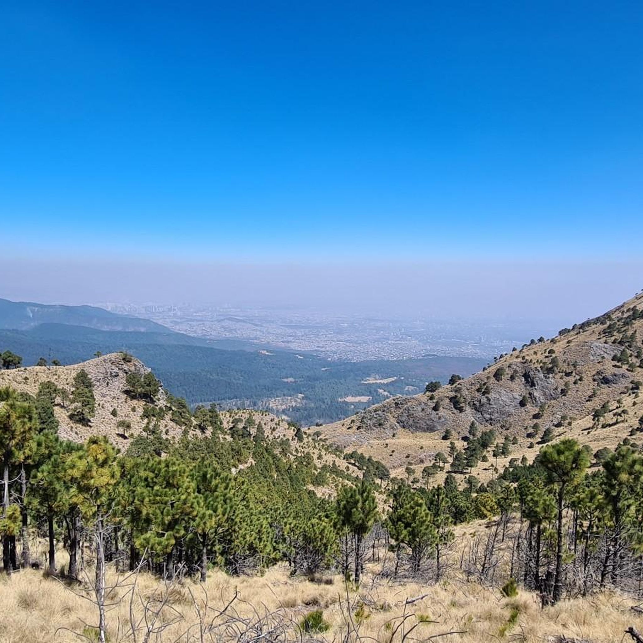
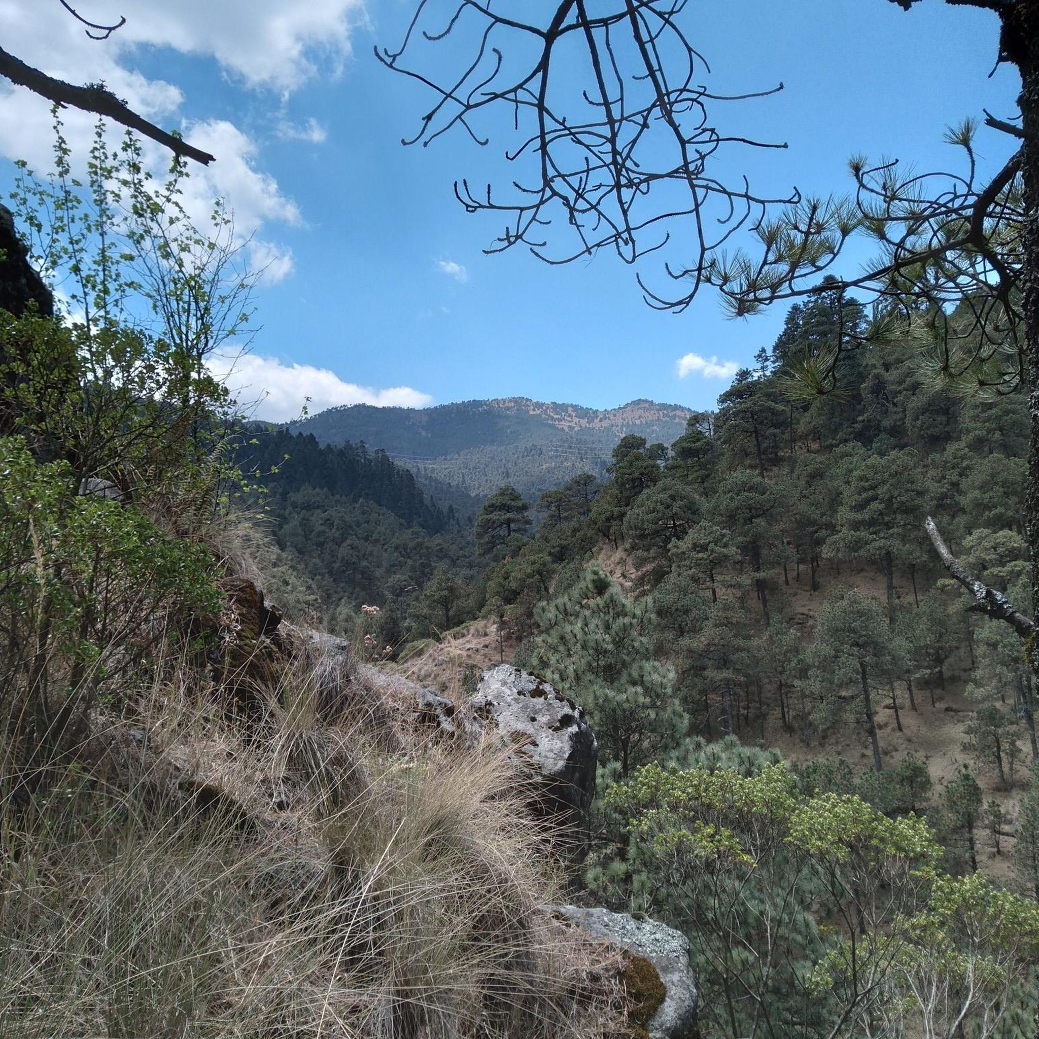
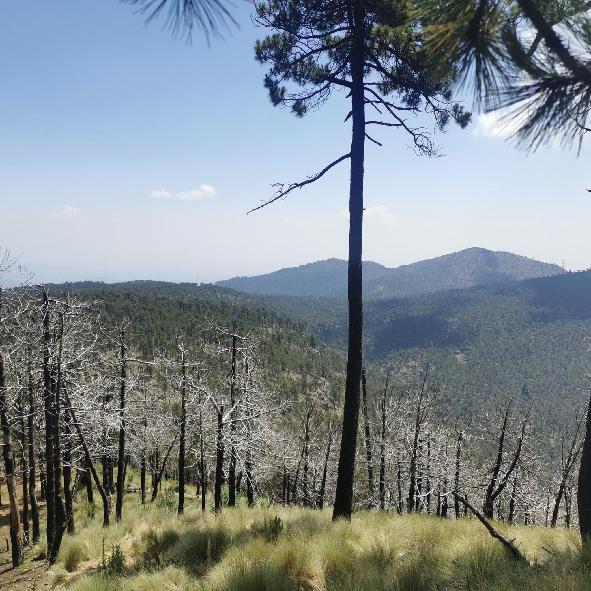
Tips from the Community

Here you decide your route, whether to climb to the Classic Mirador de la Virgen or continue to Los Dinamos on a longer route. Remember that on weekends it's crowded, and some cyclists ride downhill as if it were a single track, so clear the area if you're standing still, thinking about where you're going.
2
0

A place that has been welcoming visitors for years, wanting to hike through the forests, ride bikes, camp, eat delicious quesadillas, and spend some quality time in the Mexico City forests. There are plenty of trails to test your skills, and the entrance fee includes accident insurance, as long as you wear all your personal protective equipment.
4
0


meeting point to shoot all week
1
0
If you do it by bike, your helmet 🪖, bicycle in good condition to ride a chain ⛓️ in case you want to visit or have breakfast near the Calvary.
0
0
Frequently Asked Questions
What types of terrain can I expect when touring cycling in Tianguistenco?
Tianguistenco offers a diverse cycling landscape. You can find challenging ascents and descents through the mountainous Ajusco range, characterized by pine and fir forests, with elevations reaching over 3,600 meters. Alternatively, the western parts of the municipality feature flatter routes across the Lerma River plain, providing a different experience through agricultural lands and small villages.
Are there routes suitable for beginners or those looking for an easier ride?
While many routes in the region are challenging, there is at least one easy option available. For a less strenuous ride, consider the Calvary of Metepec – The Tlanchana loop from Metepec, which covers about 12.9 km with minimal elevation changes.
What is the best time of year for touring cycling in Tianguistenco?
The region experiences a rainy season, typically from May to October. For the most comfortable touring cycling experience with drier conditions and clearer skies, it's generally best to visit during the dry season, which runs from November to April. This avoids the potential for muddy trails and heavy downpours, especially in mountainous areas.
Are there any circular touring cycling routes available?
Yes, many of the touring cycling routes in the Tianguistenco area are designed as loops. Examples include the challenging Bike loop from Reserva Ecológica Comunitaria San Nicolás Totolapan, or the moderate Los Pits Café – Calvary of Metepec loop from Metepec.
What do other touring cyclists say about the routes in Tianguistenco?
The touring cycling routes in Tianguistenco are highly regarded by the komoot community, holding an average rating of 4.9 out of 5 stars from over 34 reviews. Cyclists often praise the varied terrain, from challenging mountain ascents to scenic routes through forested areas and plains.
Can I find high-altitude cycling experiences near Tianguistenco?
Absolutely. Tianguistenco's proximity to the Nevado de Toluca offers significant high-altitude cycling opportunities. Routes in this area can take you to elevations over 4,100 meters, providing dramatic volcanic landscapes and views of the lagoons within its crater. Be prepared for challenging climbs and varying road surfaces, including paved and dirt sections.
Are there any routes that offer panoramic views?
Yes, for breathtaking vistas, consider routes that venture into the higher elevations. The Panoramic view of Mexico City – Valley of Plastic Rabbits loop from Valle del Conejo is a difficult route that offers expansive views, including glimpses of Mexico City.
What are some longer touring cycling options in the area?
For a longer ride, the Calvary of Metepec – Zacango Zoo loop from Metepec is a difficult route spanning approximately 49 km, typically taking around 3 hours and 29 minutes to complete. This route leads through varied landscapes, offering a substantial touring experience.
Are there any routes that pass through local towns or points of interest?
Yes, some routes connect local areas and points of interest. For example, the moderate Zacango Zoo – Calvary of Metepec loop from Metepec provides a balanced ride through local areas, linking these two notable locations.
What kind of natural features will I encounter on the routes?
You'll encounter diverse natural features. The mountainous eastern parts offer dense pine and fir forests, while the western Lerma River plain features agricultural lands. The broader region also provides access to the volcanic landscapes of Nevado de Toluca, complete with crater lagoons, and the protected wetlands of Ciénegas del Lerma.
How many touring cycling routes are available in the Tianguistenco region?
There are several touring cycling routes available in the Tianguistenco region, offering a range of distances and difficulties to suit different preferences.
Are there any routes that are particularly challenging?
Yes, if you're looking for a significant challenge, routes like the Dinamos Detour – Turnoff to La Virgen loop from Reserva Ecológica Comunitaria San Nicolás Totolapan are classified as difficult, featuring substantial elevation gains over shorter distances.
What is the general attitude of drivers towards cyclists in Mexico?
Generally, Mexican drivers are described as courteous and friendly towards cyclists. They often provide ample room on the road, which can contribute to a more pleasant and safer touring cycling experience in the region.

Get inspired with the komoot mobile app


Explore more
Browse the best Cycling routes in other regions.
