The best MTB trails in Tianguistenco
4.9
(129)
315
riders
21
rides
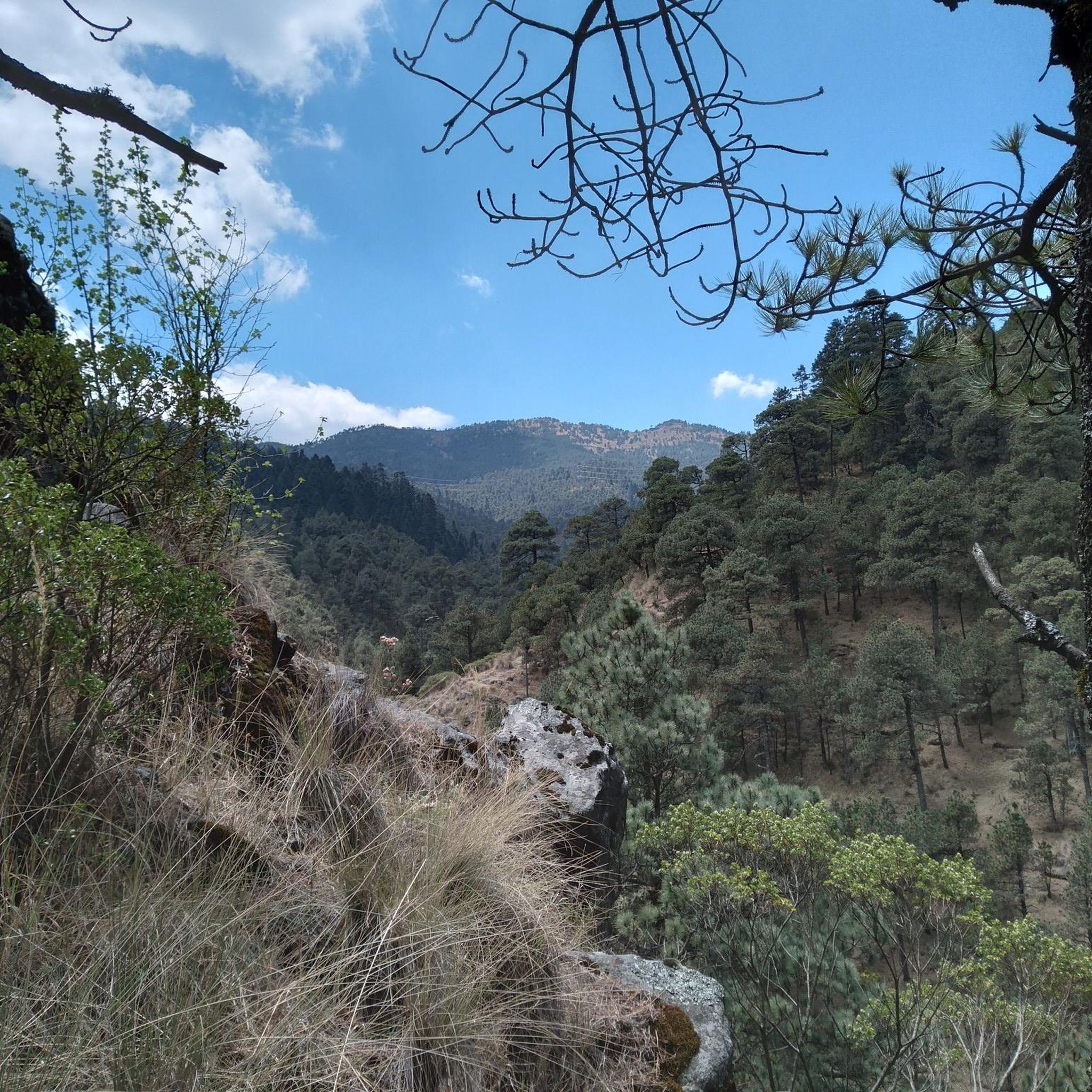
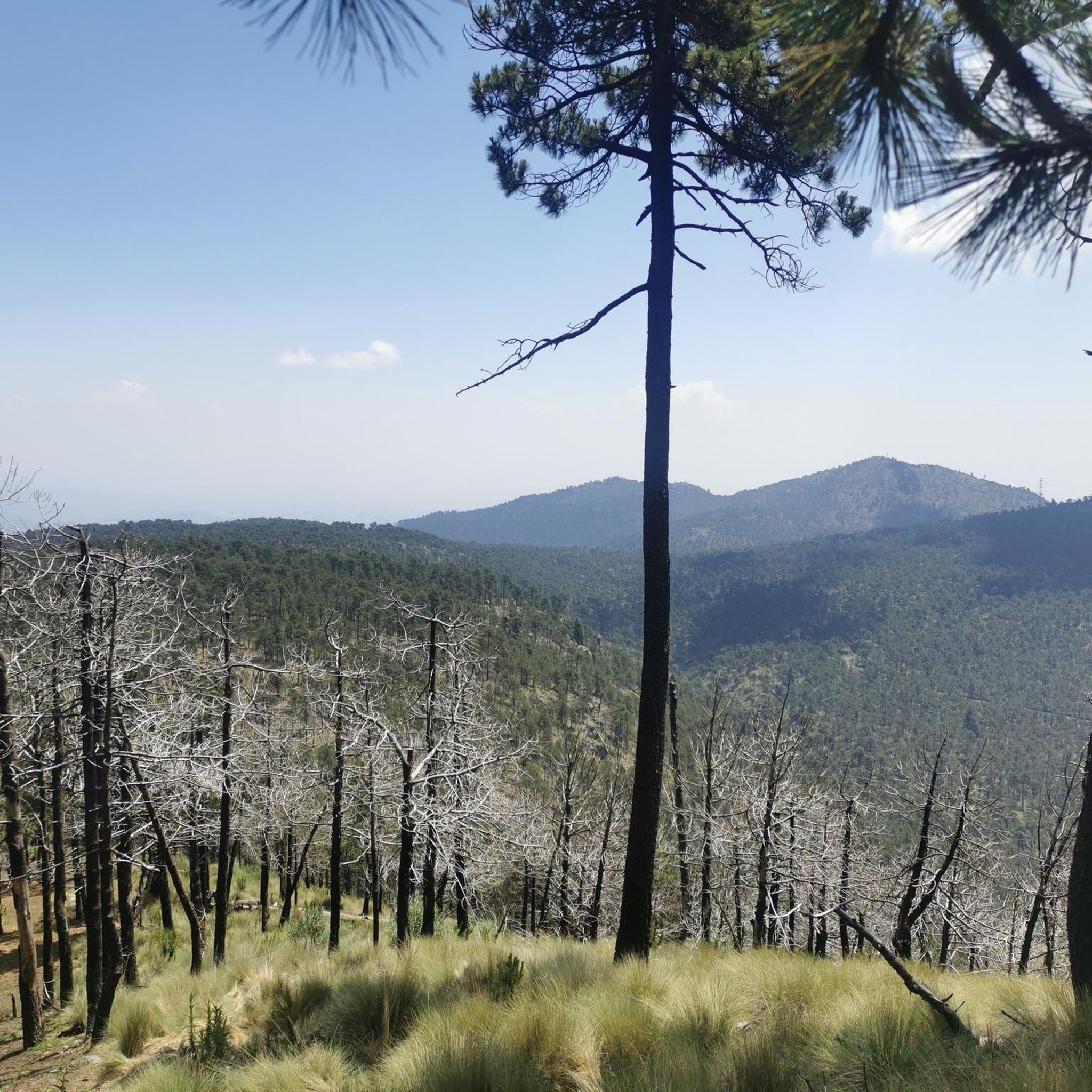
Mountain bike trails in Tianguistenco are set within the Trans-Mexican Volcanic Belt, offering a rugged and varied topography. The region features mountainous areas, with eastern parts reaching over 3,600 meters above sea level, alongside lower grasslands and forests of oak, pine, and fir trees. This diverse environment provides a range of gradients and natural obstacles suitable for mountain biking. Small volcanoes and streams further contribute to the dramatic landscape.
Best mountain bike trails in Tianguistenco
- The most popular mountain bike…
Last updated: June 26, 2026
5.0
(24)
77
riders
Moderate mountain bike ride. Good fitness required. Advanced riding skills necessary.
4.3
(3)
33
riders
Moderate mountain bike ride. Good fitness required. Advanced riding skills necessary.

Sign up for free
5.0
(5)
31
riders
Moderate mountain bike ride. Great for any fitness level. Advanced riding skills necessary.
5.0
(6)
19
riders
Moderate mountain bike ride. Good fitness required. Advanced riding skills necessary.
8
riders
Hard mountain bike ride. Good fitness required. Advanced riding skills necessary. Some portions of the route may require you to push your bike.
5.0
(24)
13
riders
43.1km
02:37
450m
450m
Moderate mountain bike ride. Good fitness required. Suitable for all skill levels.
5.0
(7)
8
riders
32.6km
03:11
750m
760m
Moderate mountain bike ride. Good fitness required. Suitable for all skill levels.
5
riders
15.2km
01:16
390m
390m
Hard mountain bike ride. Good fitness required. Advanced riding skills necessary. Some portions of the route may require you to push your bike.
5.0
(1)
3
riders
26.5km
01:28
160m
160m
Easy mountain bike ride. Great for any fitness level. Suitable for all skill levels.
5.0
(2)
6
riders
23.6km
01:38
340m
340m
Moderate mountain bike ride. Good fitness required. Suitable for all skill levels.
Get access to more routes and recommendations from other explorers.
Sign up for free
Already have an account?
Our route recommendations are based on thousands of hikes, rides, and runs completed by other people on komoot.
Start today with a free account
Your next adventure awaits.
Login or Signup

Tips from the Community

A resting point if you need it, or simply a stopover when you're climbing from the yellow feather of the Desert or whatever destination you have planned as your objective, either way, the place is fine, and sometimes very crowded.
2
0
Part of the trails in the Valley of the Nuns can be accessed by bike or on foot. Some people take their dogs for walks here. This route connects you to other trails that lead to the Desert of the Lions.
1
0
The famous Marlboro Valley! A grassy expanse surrounded by forest. Perfect for a lazy afternoon in the countryside and enjoying the scenery.
2
0
A classic spot for hiking or biking. Its community name is El Aguaje. A place for camping, riding, running, and enjoying the forest and fresh air. Remember to stock up on supplies before arriving here, whether you're heading to the slopes of Totolapan Park or Sepultura, Cerro Coyote. Bring what you need. Don't be fooled by the weather, but it's not a risky area and is close to several trails that take you out. There's a "forbidden" route to Ajusco; if you'd like to explore it, write to me.
2
0
A cycling classic 🚴♂️ Spectacular views, a safe location, and wonderful views. It's sometimes possible to enter the watchtower and see it from the top. There's enough room for a lot of people and benches. Here you decide where to get off, whether you'll go to Dinamos or the trails that descend toward the Alpino del Ajusco Lodge, or perhaps to the area's viewpoints like Zacacapa. Getting up here is a great achievement, but only the beginning of the adventure.
2
0
Cabro is an MTB trail that begins in Leona and can be reached from Cardos, Jabalí, or Semillero, routes that begin on the slopes of Loma del Coyote. Many mistake it as a continuation of Cardos, but in reality, Totolapan and its visitors name the different sections of the many trails that converge downhill.
3
0
A small dam that connects with others along the wide trail of the Desierto de los Leones, a classic for mountain biking and hiking. The color of the water is stunning; it only becomes turbulent during the rainy season. Keep in mind that there are no supplies here, but it's close to the quesadilla stand where you can eat and say hello to Pato.
3
1
This is just part of the beautiful scenery. This area is a thoroughfare, whether you're coming back from San Miguel or heading up to a trail further up. There's no aid station, but it's very close to Las Quesadillas, where Pato, the local dog, lives. You can stock up there and grab a bite to eat.
2
0
Frequently Asked Questions
How many mountain bike trails are available in Tianguistenco?
There are over 20 mountain bike trails in Tianguistenco and the immediate surrounding area, catering to various skill levels. These routes are highly rated by the komoot community, with an average score of 4.9 stars.
What kind of terrain can I expect on mountain bike trails in Tianguistenco?
Tianguistenco's mountain bike trails are set within the Trans-Mexican Volcanic Belt, offering a rugged and varied topography. You'll encounter mountainous areas, some reaching over 3,600 meters above sea level, alongside lower grasslands and forests of oak, pine, and fir trees. Small volcanoes and streams also contribute to the dramatic landscape, providing a range of gradients and natural obstacles.
Are there mountain bike trails suitable for beginners in Tianguistenco?
Yes, Tianguistenco offers several easy mountain bike routes. For example, the Pyramid of Tenayuca loop from Zona deportiva Hacienda de las Fuentes is an easy 16.5-mile (26.5 km) trail that provides a good introduction to the region's cycling.
What is the best time of year to go mountain biking in Tianguistenco?
The region generally experiences a rainy season, which can affect trail conditions. For the most enjoyable riding, consider visiting during the drier months when trails are less likely to be muddy. Always check local weather forecasts before heading out.
Are there any long-distance mountain bike routes in the Tianguistenco area?
Yes, for those looking for longer rides, routes like the Calvary of Metepec – Zacango Zoo loop from San Sebastian offer a substantial challenge, covering over 26.7 miles (43 km) with significant elevation changes.
Are there any mountain bike trails with scenic viewpoints in Tianguistenco?
Many trails in the region offer rewarding views due to the mountainous terrain. The Las Canoas – Mirador de la Virgen loop from Reserva Ecológica Comunitaria San Nicolás Totolapan, for instance, leads through forested areas to a viewpoint, offering picturesque vistas.
What do other mountain bikers enjoy most about the trails in Tianguistenco?
The trails in Tianguistenco are highly rated by the komoot community, with an average score of 4.9 stars from over 100 reviews. Riders often praise the varied terrain, the challenging climbs, and the natural beauty of the forested and mountainous landscapes.
Are there any mountain biking parks or dedicated facilities near Tianguistenco?
While Tianguistenco itself offers natural trails, it is conveniently located near La Marquesa National Park, which is a renowned outdoor destination. Within La Marquesa, you can find the Cardo Santo Bike Ranch, which features purpose-built tracks with jumps, drops, and berms for mountain bikers of all levels. La Marquesa is approximately a 23-minute drive from Tianguistenco.
Are there any circular mountain bike routes in Tianguistenco?
Yes, many of the mountain bike routes in Tianguistenco are designed as loops, allowing you to start and end at the same point. Examples include the popular Mirador de la Virgen – Valle Marlboro (El Aguaje) loop and the Mirador de la Virgen – Cabro Trail loop, both starting from Reserva Ecológica Comunitaria San Nicolás Totolapan.
Are there any challenging mountain bike trails for advanced riders?
Yes, advanced riders will find challenging options in Tianguistenco. Routes like the Zazacapa Viewpoint – Swing of the Serpents loop from Reserva Ecológica Comunitaria San Nicolás Totolapan are rated as difficult, featuring significant elevation gains and technical sections to test your skills.
Can I find mountain bike routes that explore the natural landscapes around Reserva Ecológica Comunitaria San Nicolás Totolapan?
Absolutely. Several routes are centered around this ecological reserve, offering immersive experiences in nature. The Valle Marlboro (El Aguaje) – Mirador de la Virgen loop is a moderate 11.4-mile (18.3 km) path that specifically explores the natural landscapes of this area.

Get inspired with the komoot mobile app


Explore more
Browse the best MTB trails in other regions.
