The best road cycling routes in Tianguistenco
4.9
(17)
179
riders
7
rides
Road cycling routes in Tianguistenco traverse a landscape characterized by significant elevation changes, including challenging climbs and descents through mountainous and forested areas. The region offers routes that pass by natural reserves and cultural landmarks, providing varied terrain for road cyclists. These routes often feature sustained ascents and winding roads, typical of elevated Mexican landscapes.
Best road cycling routes in Tianguistenco
- The most popular road cycling route is Calzada Flotante Chapultepec – Petroleum Fountain loop from Lerma, a 90.3…
Last updated: July 15, 2026
5.0
(1)
68
riders
145km
07:41
2,570m
2,570m
Hard road ride. Very good fitness required. Mostly well-paved surfaces and easy to ride.
5.0
(1)
57
riders
Moderate road ride. Good fitness required. Mostly well-paved surfaces and easy to ride.

Sign up for free
12
riders
89.0km
05:27
2,290m
2,290m
Hard road ride. Very good fitness required. Some segments of this route may be unpaved and difficult to ride.
5.0
(2)
8
riders
26.5km
01:28
560m
560m
Moderate road ride. Good fitness required. Mostly well-paved surfaces and easy to ride.
4
riders
59.8km
03:18
1,160m
1,150m
Hard road ride. Very good fitness required. Mostly well-paved surfaces and easy to ride.
6
riders
63.9km
05:44
1,450m
1,450m
Hard road ride. Very good fitness required. Some segments of this route may be unpaved and difficult to ride.
Our route recommendations are based on thousands of hikes, rides, and runs completed by other people on komoot.
Start today with a free account
Your next adventure awaits.
Login or Signup
Popular around Tianguistenco

Tips from the Community

The Holtz House, also known as the residence of engineer Ignacio Holtz, is an Art Nouveau house located in Lomas de Chapultepec, Mexico City. Considered the largest Art Nouveau building in the world, it measures 2,300 square meters and is spread over four floors.
0
0

Just before the Xalatlaco highway crossing, before the Cantimplora Valley, is the abandoned cabin where food was prepared many years ago. Now it's roofless, and only the remains of the fireplace, tables, and walls with their windows remain. Once, it served as a shelter in bad weather when everything was closed, but now, without a roof, all that remains is a memory of what once was.
2
0
A gentle gravel road for those who are just starting out on their dirt bike, it doesn't require great technique and there are even sections that a road bike can handle without any problems.
3
0

Is better to come here with a big group ride since cars on the high go too fast
1
0

Nice way to cross the highway (periferico) from Chapultepec to Los Pinos
1
0
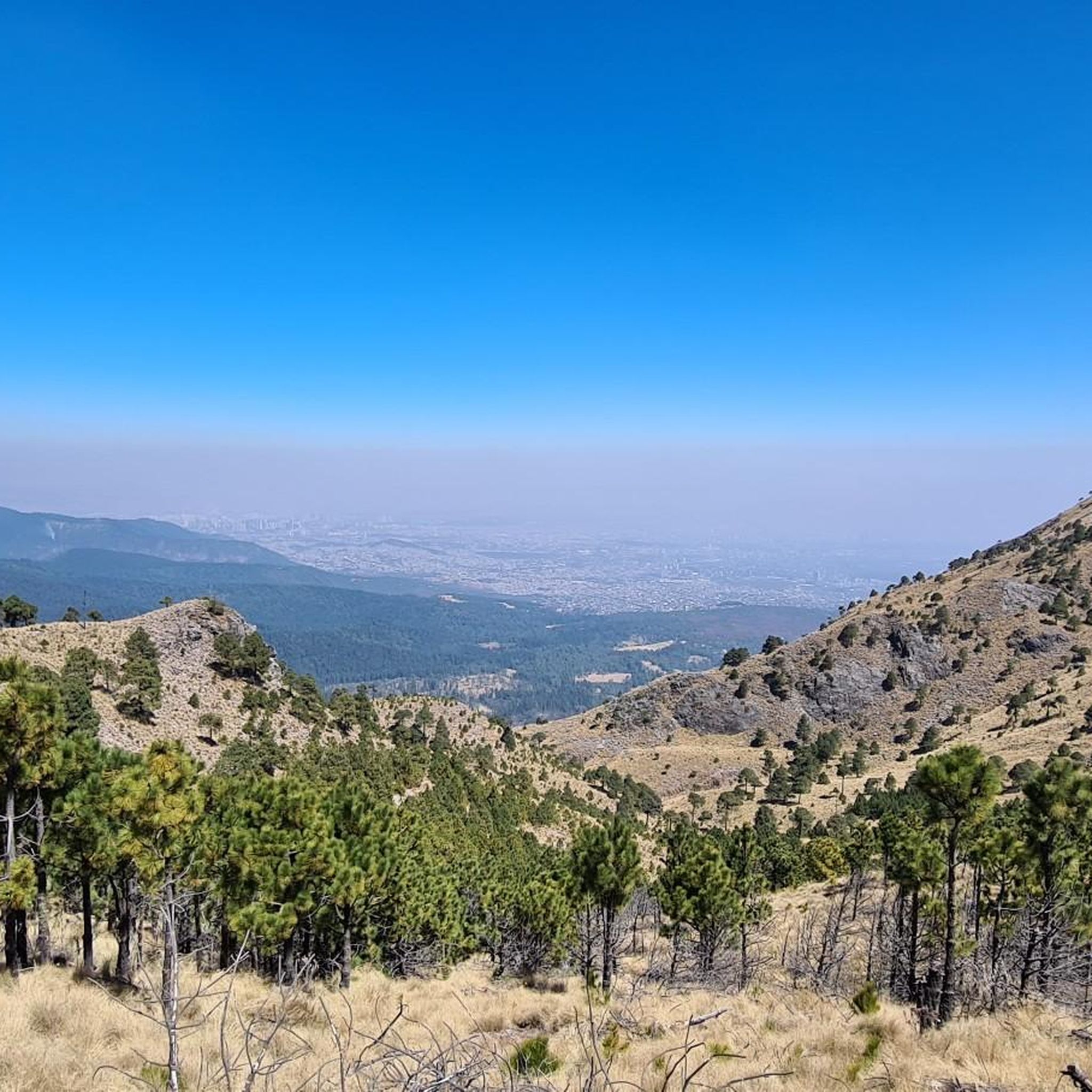
Just before reaching the famous "Y" of the Ajusco. The most panoramic and close view of the mountain with its well-known Pico del Águila. A path that has changed a lot over the years due to construction and now 2 stops on the road. The only thing that remains beautiful is the mountainous view and the feeling of having managed to reach this point by bike.
5
0
It is the section before the famous "Y" of the Ajusco circuit where you can enjoy a panoramic view of the mountain, the Pico del Águila in the distance, from there you will already have an idea of the weather that awaits you on the road to the heights . Over the years the panorama has changed due to the buildings and bars, but it is still beautiful.
3
0
Excellent area to train within the city, whether you go by bike, rollerblades or running you will find good slopes with enough incline to sweat and suffer when you go in mood training. There are parts with little traffic at some times of the day, as long as it is before or after the departure of people to their destinations. Another advantage is that there are good trees that provide shade and a cooler environment than many roads or paths. Enjoy your effort!
3
0
Frequently Asked Questions
What is the overall difficulty level for road cycling in Tianguistenco?
Road cycling in Tianguistenco is generally characterized by significant elevation changes, making many routes challenging. The region offers a mix of moderate and difficult routes, with a strong emphasis on sustained ascents and winding roads typical of elevated Mexican landscapes. There is one easy route available for those looking for a less strenuous ride.
Are there road cycling routes suitable for beginners in Tianguistenco?
Yes, while many routes are challenging, there is one easy road cycling route available in Tianguistenco. This route offers a gentler introduction to the region's terrain, allowing beginners to enjoy the scenery without overly strenuous climbs.
What kind of terrain can I expect on road cycling routes in Tianguistenco?
You can expect a diverse terrain featuring mountainous ascents, challenging climbs, and descents through forested areas. Routes often pass by natural reserves and cultural landmarks, providing varied scenery. The elevated Mexican landscape ensures winding roads and significant elevation changes on most rides.
Are there any long-distance road cycling routes in Tianguistenco?
Yes, Tianguistenco offers several long-distance road cycling routes. For instance, the Calzada Flotante Chapultepec – Petroleum Fountain loop from Lerma is a demanding 90.3-mile (145.4 km) route with substantial elevation gain, ideal for experienced cyclists seeking a full-day adventure.
Can I find loop road cycling routes in Tianguistenco?
Yes, many of the road cycling routes in Tianguistenco are designed as loops, allowing you to start and end at the same point. Examples include the challenging Sanctuary of the Lord of Chalma – The Ahuehuete Tree loop from La Lagunilla and the moderate View of Pico del Águila loop from Reserva Ecológica Comunitaria San Nicolás Totolapan.
What are some of the more advanced road biking routes in Tianguistenco?
For advanced road cyclists, routes like the Calzada Flotante Chapultepec – Petroleum Fountain loop from Lerma (90.3 miles with over 2,500m elevation gain) and the Sanctuary of the Lord of Chalma – The Ahuehuete Tree loop from La Lagunilla (55.3 miles with over 2,200m elevation gain) offer significant challenges with considerable climbing and distance.
What do other road cyclists say about the routes in Tianguistenco?
The road cycling routes in Tianguistenco are highly rated by the komoot community, with an average score of 4.9 stars from over 10 reviews. Cyclists often praise the challenging mountainous ascents, the scenic forested sections, and the routes connecting natural reserves, highlighting the varied and engaging terrain.
Are there road cycling routes that offer scenic viewpoints in Tianguistenco?
Absolutely. The region's elevated terrain naturally provides numerous scenic viewpoints. For example, the View of Pico del Águila loop from Reserva Ecológica Comunitaria San Nicolás Totolapan offers stunning views towards Pico del Águila, making it a popular choice for those seeking picturesque vistas during their ride.
What is the best time of year for road biking in Tianguistenco?
Given the elevated Mexican landscape, the best time for road biking in Tianguistenco generally aligns with the dry season, typically from November to May, when weather conditions are more stable and rainfall is minimal. This period offers clearer skies and more comfortable temperatures for tackling the region's climbs.
Are there any hidden gem road bike routes in Tianguistenco?
While all routes offer unique experiences, the Espinazo del Diablo loop from El Insurgente, though challenging, is a route that takes you through less-traveled sections, offering a sense of discovery amidst the region's natural beauty and demanding climbs.
How many road cycling routes are available in Tianguistenco?
There are 7 road cycling routes available in Tianguistenco, catering to various skill levels from easy to difficult. This selection provides ample opportunities to explore the region's diverse landscapes and challenging terrain.
Are there any road cycling routes that pass by cultural landmarks in Tianguistenco?
Yes, some routes in Tianguistenco are designed to include cultural points of interest. The Sanctuary of the Lord of Chalma – The Ahuehuete Tree loop from La Lagunilla, for instance, passes through areas of significant natural and cultural interest, offering more than just a physical challenge.

Get inspired with the komoot mobile app


Explore more
Browse the best Road cycling routes in other regions.
