The best cycling routes around Nantyglo And Blaina
4.5
(380)
2,730
riders
150
rides
Touring cycling routes around Nantyglo And Blaina traverse the South Wales Valleys, characterized by a landscape of hills, deep valleys, and remnants of industrial heritage. The region features a developing network of trails, including dedicated cycle paths and shared-use routes, designed to connect natural features and historical sites. Cyclists can expect varied terrain, from challenging ascents to scenic descents, often alongside rivers and through woodlands.
Best touring cycling routes around Nantyglo And Blaina
- The most popular touring cycling route is…
Last updated: July 7, 2026
2
riders
51.6km
03:49
870m
870m
Hard bike ride. Very good fitness required. Mostly paved surfaces. Suitable for all skill levels.
4.7
(7)
79
riders
41.2km
02:49
590m
590m
Hard bike ride. Very good fitness required. Mostly paved surfaces. Suitable for all skill levels.

Sign up for free
5.0
(3)
43
riders
43.0km
02:58
580m
580m
Hard bike ride. Very good fitness required. Mostly paved surfaces. Suitable for all skill levels.
4.3
(3)
35
riders
42.6km
03:03
690m
690m
Hard bike ride. Very good fitness required. Mostly paved surfaces. Suitable for all skill levels.
5.0
(1)
29
riders
28.8km
02:07
660m
660m
Hard bike ride. Very good fitness required. Mostly paved surfaces. Suitable for all skill levels.
Get access to more routes and recommendations from other explorers.
Sign up for free
Already have an account?
Our route recommendations are based on thousands of hikes, rides, and runs completed by other people on komoot.
Start today with a free account
Your next adventure awaits.
Login or Signup
Tips from the Community

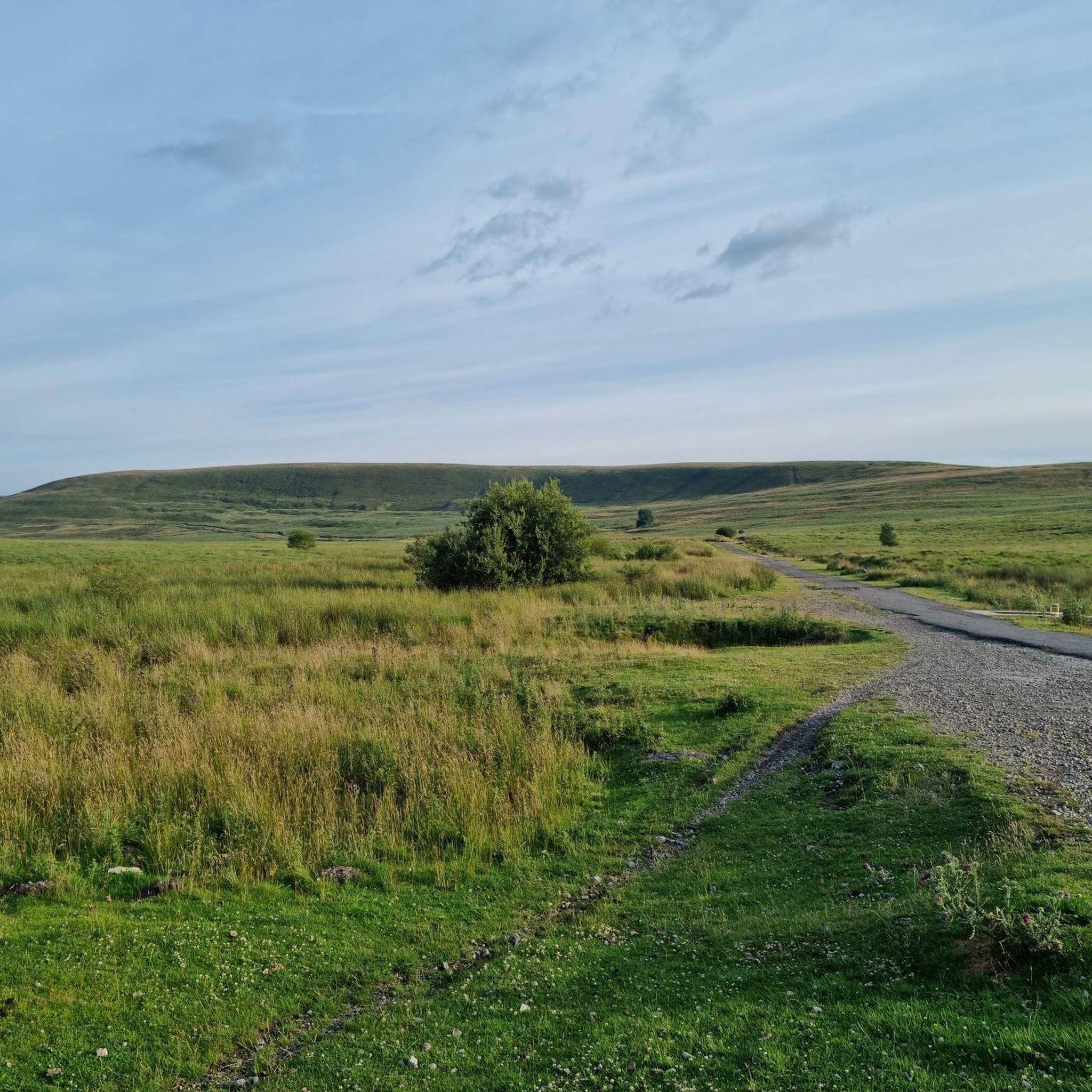
Very nice bridge not for traffic though as it’s a single lane track with passing gaps for pedestrians.
0
0


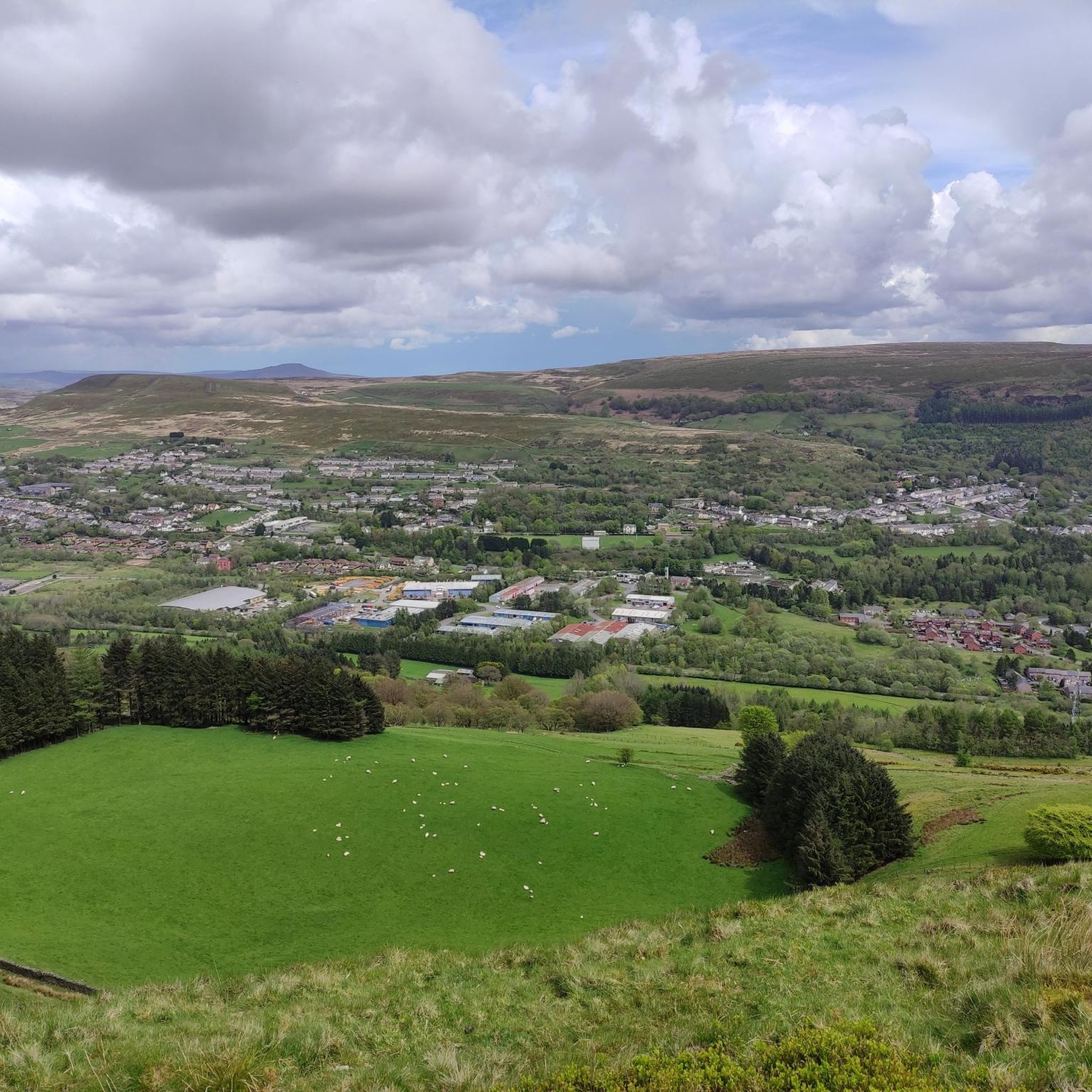
"The Gateway to Wales" - Abergavenny is a wonderful town with lots of hiking routes
0
0

If riding across bridge into Crick, take the first right hand road (next to the pub) to avoid traffic going up the hill and into town. It also takes you straight tup to the high st.
0
0

evidence of railway platforms and steps to the platforms still exist
0
0


Crickhowell bridge is a pretty crossing point of the River Usk. Crickhowell itself is a small market town with the remains of a motte and bailey castle built by the Normans.
1
0
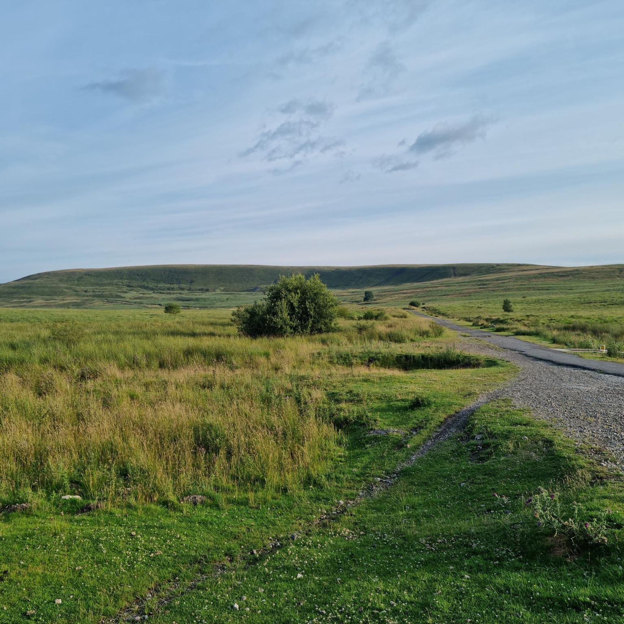
New flat path following the original NCR46 to Brynmawr.
0
0
Frequently Asked Questions
How many touring cycling routes are available in Nantyglo And Blaina?
Nantyglo And Blaina offers over 150 touring cycling routes, catering to various skill levels. You'll find a mix of easy, moderate, and difficult trails to explore the region's valleys and industrial heritage.
What kind of terrain can I expect on touring cycling routes in Nantyglo And Blaina?
The terrain in Nantyglo And Blaina is characterized by hills and deep valleys, offering both challenging ascents and scenic descents. Routes often follow rivers and wind through woodlands, with some sections traversing remnants of the region's industrial past. Expect varied surfaces as you navigate the landscape.
Are there any easy touring cycling routes suitable for beginners or families?
Yes, there are approximately 15 easy touring cycling routes in the area. While specific family-friendly routes are not detailed, easier trails often follow dedicated cycle paths or shared-use routes, providing a gentler experience. Look for routes with less elevation gain if you prefer an easier ride.
What are some notable natural features or viewpoints I can see while cycling?
The region offers stunning natural beauty. You can cycle past tranquil water bodies like Keeper's Pond (Pen-Ffordd-Goch Pond), which provides great views towards the Sugar Loaf and Black Mountains. Other scenic spots include The Punchbowl Lake and Devil's Punchbowl Pond. Some routes may offer glimpses of prominent peaks like Blorenge summit or the distinctive Sugar Loaf Summit.
Are there any historical landmarks or attractions along the cycling routes?
Yes, the area is rich in industrial heritage. While cycling, you might encounter historical sites such as the Nantyglo Roundhouses, unique relics from the Industrial Revolution. The Ebbw Fach Trail, for instance, connects various historical sites throughout the borough. For a route that includes historical points of interest, consider the Crickhowell Bridge – Llanelly Quarry Limekilns loop from Ebbw Vale Town.
What is the best time of year to go touring cycling in Nantyglo And Blaina?
Spring and autumn are generally ideal for touring cycling in Nantyglo And Blaina, offering pleasant temperatures and beautiful scenery. Spring brings bluebell displays in areas like Silent Valley Nature Reserve, while autumn showcases vibrant foliage. Summer can also be enjoyable, though some climbs might be more challenging in warmer weather. Winter cycling is possible but requires appropriate gear for potentially colder and wetter conditions.
What do other touring cyclists enjoy most about cycling in Nantyglo And Blaina?
The area is highly rated by the komoot community, with an average score of 4.5 stars from over 350 reviews. Cyclists often praise the varied terrain, the blend of natural beauty with industrial heritage, and the developing network of trails that offer both challenging climbs and scenic descents.
Are there any routes that offer views of the Usk Valley?
Yes, several routes provide views towards the Usk Valley. For example, the Abergavenny Market Hall – Linda Vista Gardens loop from Ebbw Vale Town is a difficult path offering views in that direction. The Blorenge summit also provides extensive views over Abergavenny and the Usk Valley.
Can I find routes that pass through or near towns for refreshment stops?
Many touring cycling routes in Nantyglo And Blaina connect or pass near local towns and villages, providing opportunities for refreshment stops. While specific cafes or pubs on routes are not listed, planning your ride to include stops in places like Ebbw Vale, Abertillery, or Brynmawr will allow you to find amenities.
Are there any longer, more challenging touring cycling routes in the area?
Yes, the region offers numerous challenging routes. For instance, the Abertillery and Brynmawr loop from Ebbw Vale is a difficult 32-mile (51.6 km) trail with significant elevation gain. Another challenging option is the Abergavenny Town Centre – Linda Vista Gardens loop from Brynmawr, covering over 42 km with substantial climbing.
Is public transport available to access cycling routes in Nantyglo And Blaina?
Yes, public transport options exist. National Cycle Network Route 466 provides an on-road cycling option that follows the Ebbw Valley Railway, linking the Heads of the Valley to Pontypool and connecting to Ebbw Vale Parkway Station. This can be a useful way to access the starting points of various routes within the region.
Are there any routes that offer views of the River Usk?
Yes, you can find routes that provide views of the River Usk. The River Usk – View of Craig y Cilau loop from Ebbw Vale is one such route, offering scenic vistas of the river and surrounding landscape.
Most popular attractions around Nantyglo And Blaina

Get inspired with the komoot mobile app


Explore more
Browse the best Cycling routes in other regions.
