The best MTB trails around Nantyglo And Blaina
4.1
(121)
909
riders
51
rides
Mountain biking around Nantyglo And Blaina offers varied terrain within the South Wales Valleys. The region is characterized by its rolling hills, deep valleys, and a mix of open landscapes and forested areas, providing diverse conditions for mountain bike trails. Riders can expect routes that navigate former industrial paths, now rewilded, alongside natural features. The landscape includes numerous elevation changes, making it suitable for different skill levels.
Best mountain bike trails around Nantyglo And Blaina
- The most popular mountain bike…
Last updated: July 6, 2026
4.0
(3)
15
riders
35.5km
02:27
560m
560m
Moderate mountain bike ride. Good fitness required. Suitable for all skill levels.
4.6
(5)
16
riders
Moderate mountain bike ride. Good fitness required. Suitable for all skill levels.

Sign up for free
5.0
(2)
12
riders
38.2km
02:47
680m
680m
Moderate mountain bike ride. Good fitness required. Suitable for all skill levels.
10
riders
44.8km
02:40
460m
460m
Moderate mountain bike ride. Good fitness required. Suitable for all skill levels.
5.0
(1)
12
riders
17.8km
01:05
130m
130m
Easy mountain bike ride. Great for any fitness level. Suitable for all skill levels.
Get access to more routes and recommendations from other explorers.
Sign up for free
Already have an account?
Our route recommendations are based on thousands of hikes, rides, and runs completed by other people on komoot.
Start today with a free account
Your next adventure awaits.
Login or Signup
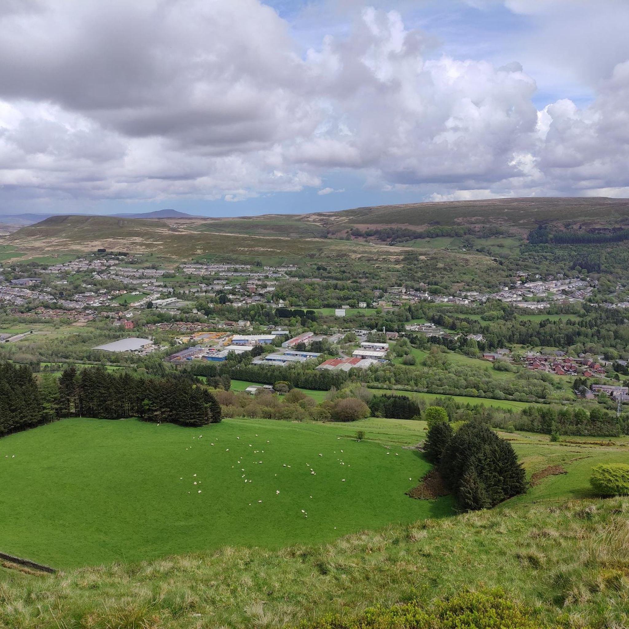
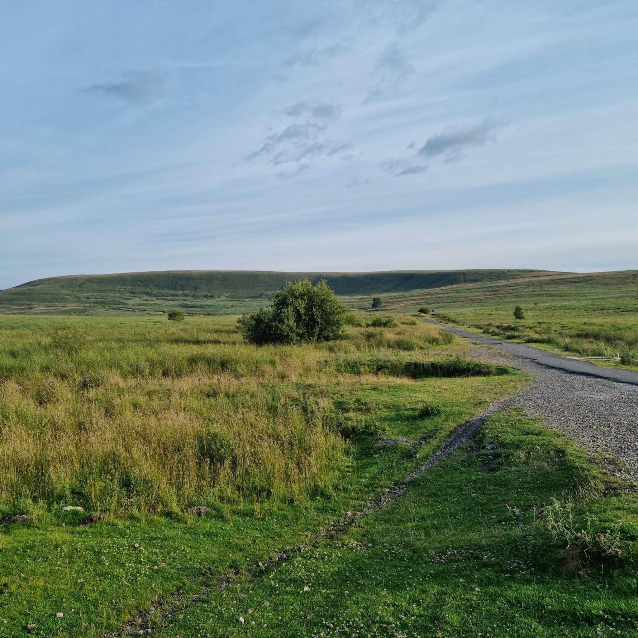
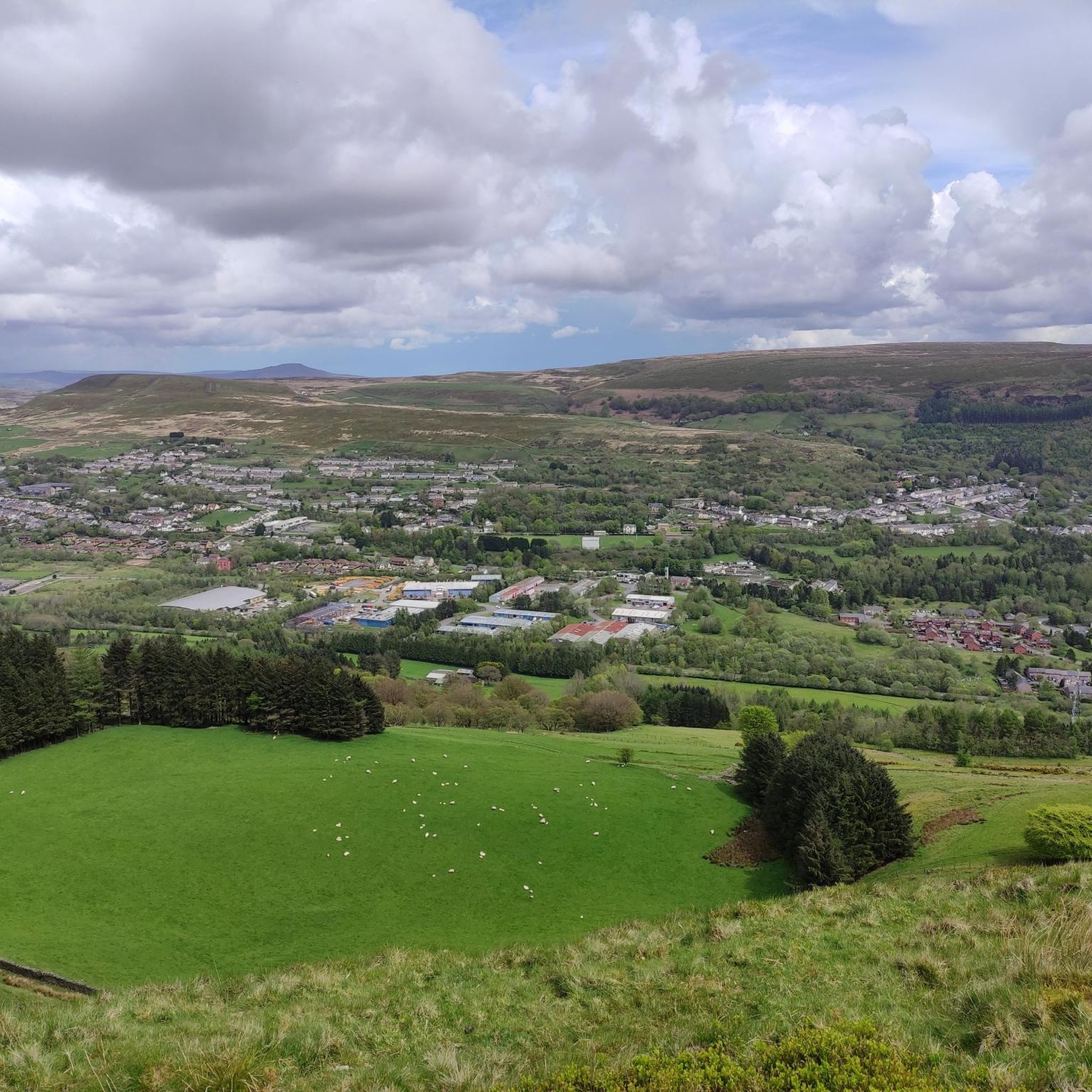

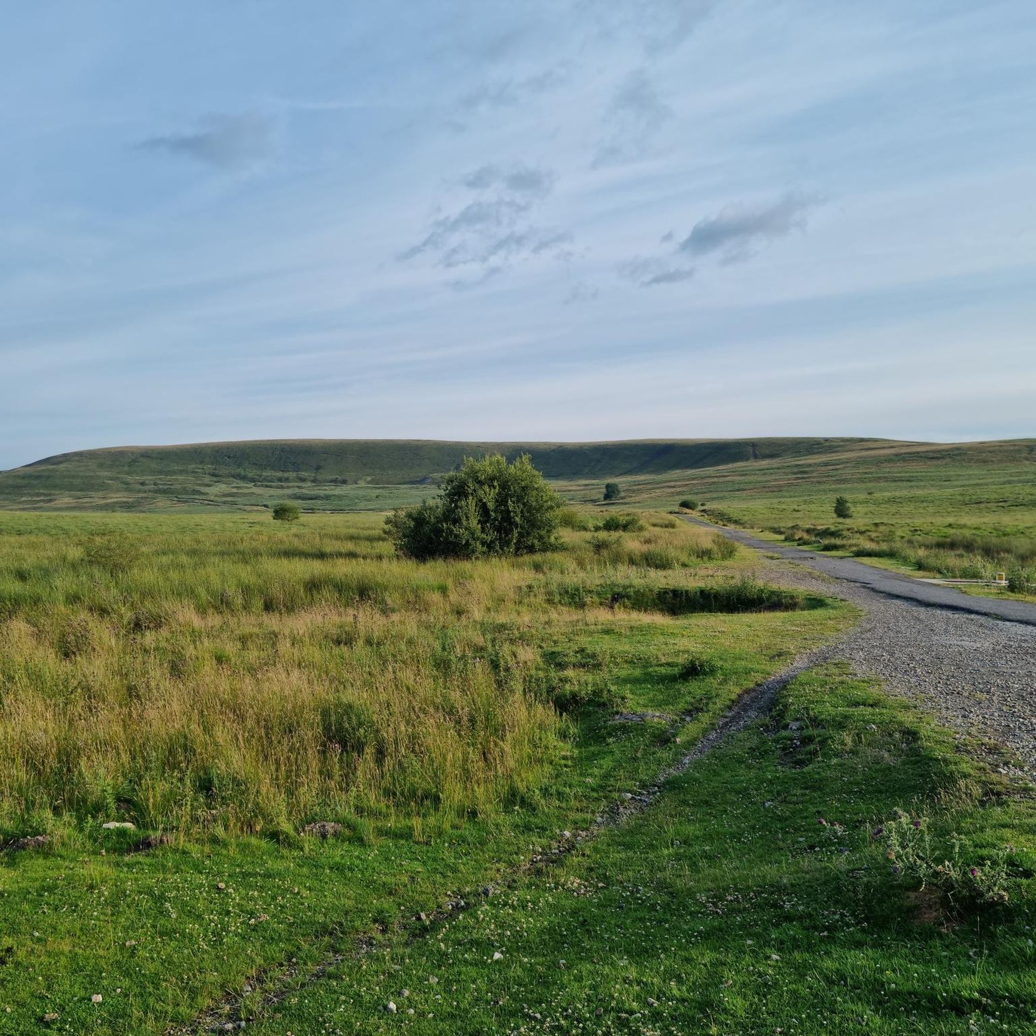
Tips from the Community

Pentwyn Reservoir is the smaller sister to Pontsticill Reservoir, both being separated by a causeway going towards the old Dolygaer outdoor centre. It is a very popular spot with fishermen and outdoor enthusiasts alike. The reservoir is used daily for a mix of watersports such as paddle boarding, kayaking, canoeing and raft building. It is in a beautiful setting, and you have great views north towards Pen y Fan and nice walks nearby.
0
0

This is great fun, I've done both descents now, both north and south but neither climb, and I'm very happy about that. Would want an unloaded bike to clean the whole trail.
0
0

An impressive sight and a wonderful tribute to the miners that lost their lives
1
0

To access this area is a very steep incline and decline into this valley section 7- 9% gradient in either direction. The Taf Fechan LNR comprises about 2.5 km of river with steep valley sides of Carboniferous limestone. The river has eroded the limestone into a narrow gorge in the centre of the site. A mosaic of deciduous woodland on the slopes with a canopy of Beech, Birch and Ash, gives way to Alder and Grey Willow closer to the river.
0
0

Nice scenic place to start a ride from. car park, and good routes from here
0
0

Great cruise down into Abergavenny for coffee!
0
0
Frequently Asked Questions
How many mountain bike trails are available in Nantyglo And Blaina?
There are over 50 mountain bike trails in the Nantyglo And Blaina area, offering a wide range of options for different skill levels. This includes 6 easy routes, 35 moderate routes, and 11 difficult routes.
Are there any easy mountain bike trails suitable for beginners or families?
Yes, Nantyglo And Blaina offers 6 easy mountain bike trails. A great option for a more relaxed ride is the Hafod Road – View of the Brecon Beacons loop from Brynmawr, which is 17.8 km long and features gentle elevation changes.
What are the typical lengths of mountain bike trails in Nantyglo And Blaina?
Trail lengths vary significantly, from shorter, easy routes around 10-15 km to longer, more challenging rides exceeding 40 km. For example, the View of Bryn Oer Tramroad – Cwm Callan Roman Road Trail loop from Ebbw Vale Town is 44.4 km long, while the Hafod Road – View of the Brecon Beacons loop from Brynmawr is 17.8 km.
Are there any mountain bike trails that are loop routes?
Many of the mountain bike trails in Nantyglo And Blaina are designed as loops, allowing you to start and finish at the same point. Examples include the View of Bryn Oer Tramroad – Cwm Callan Roman Road Trail loop from Ebbw Vale Town and the Clydach Cycle Path loop from Ebbw Vale Town.
What kind of scenic views can I expect on the mountain bike trails?
The trails often provide expansive views of the South Wales Valleys, including rolling hills, deep valleys, and a mix of open landscapes and forested areas. Routes like the Llanelly Quarry Limekilns – View of Ebbw Fach Valley loop from Llanelly offer panoramic vistas of the Ebbw Fach Valley.
Are there any waterfalls or other natural attractions near the mountain bike routes?
Yes, the region boasts several natural attractions. You can find waterfalls such as Parc Cwm Darran Waterfall and Nant Milgatw Waterfall. For more information, explore the Waterfalls around Nantyglo And Blaina guide.
What are some notable landmarks or points of interest to explore while mountain biking?
Beyond natural beauty, the area has historical significance. You might encounter old quarry sites, former industrial paths, and even Roman road trails. For impressive views, consider visiting peaks like Blorenge summit or Sugar Loaf Summit, which are detailed in the Peaks around Nantyglo And Blaina guide.
What do other mountain bikers say about the trails in Nantyglo And Blaina?
The mountain bike trails in Nantyglo And Blaina are highly rated by the komoot community, with an average score of 4.2 stars from over 100 reviews. Riders often praise the varied terrain, the mix of historical paths and natural features, and the options available for different skill levels.
Are there any advanced or difficult mountain bike trails for experienced riders?
Yes, for experienced riders seeking a challenge, there are 11 difficult mountain bike routes in the area. These trails typically feature more significant elevation changes and technical sections. An example of a challenging route is the Coity Tip Trail – Garn Lakes loop from Brynmawr, which covers 44.6 km with substantial climbs.
What is the best season for mountain biking in Nantyglo And Blaina?
The South Wales Valleys generally offer good mountain biking conditions for much of the year. Spring and autumn provide pleasant temperatures and vibrant scenery. While summer is popular, be prepared for potentially busier trails. Winter riding is possible, but trails can be muddy and conditions more challenging, so always check local weather forecasts.
Is there public transport access to mountain bike trails in Nantyglo And Blaina?
Nantyglo And Blaina is part of the South Wales Valleys, which has some public transport links. While specific trailheads might require a short ride or walk from bus or train stations, towns like Ebbw Vale, which serves as a starting point for routes like the View of Bryn Oer Tramroad – Cwm Callan Roman Road Trail loop, are accessible by public transport. It's advisable to check local bus and train schedules for the most up-to-date information on reaching specific starting points.
Most popular attractions around Nantyglo And Blaina

Get inspired with the komoot mobile app


Explore more
Browse the best MTB trails in other regions.
