The best walks and hikes around Nantyglo And Blaina
4.6
(1455)
10,825
hikers
285
hikes
Hiking around Nantyglo And Blaina offers diverse trails through the South Wales Valleys. The region is characterized by its rolling hills, deep valleys, and remnants of its industrial heritage, now reclaimed by nature. Hikers can explore a mix of woodland paths, open moorland, and routes alongside former railway lines and waterways. The landscape provides varied terrain suitable for different hiking preferences.
Best hiking trails around Nantyglo And Blaina
- The most popular hiking route is Clydach Gorge Viaduct – Clydach Ironworks…
Last updated: July 6, 2026
4.8
(5)
24
hikers
5.73km
01:50
240m
240m
Easy hike. Great for any fitness level. Easily-accessible paths. Suitable for all skill levels.
4.3
(3)
17
hikers
7.22km
01:59
110m
110m
Easy hike. Great for any fitness level. Easily-accessible paths. Suitable for all skill levels.

Sign up for free
4.8
(4)
14
hikers
12.1km
03:32
320m
320m
Moderate hike. Good fitness required. Easily-accessible paths. Suitable for all skill levels.
5.0
(2)
5
hikers
6.62km
02:05
260m
260m
Moderate hike. Good fitness required. Easily-accessible paths. Suitable for all skill levels.
4.7
(3)
15
hikers
Easy hike. Great for any fitness level. Easily-accessible paths. Suitable for all skill levels.
Get access to more routes and recommendations from other explorers.
Sign up for free
Already have an account?
Our route recommendations are based on thousands of hikes, rides, and runs completed by other people on komoot.
Start today with a free account
Your next adventure awaits.
Login or Signup
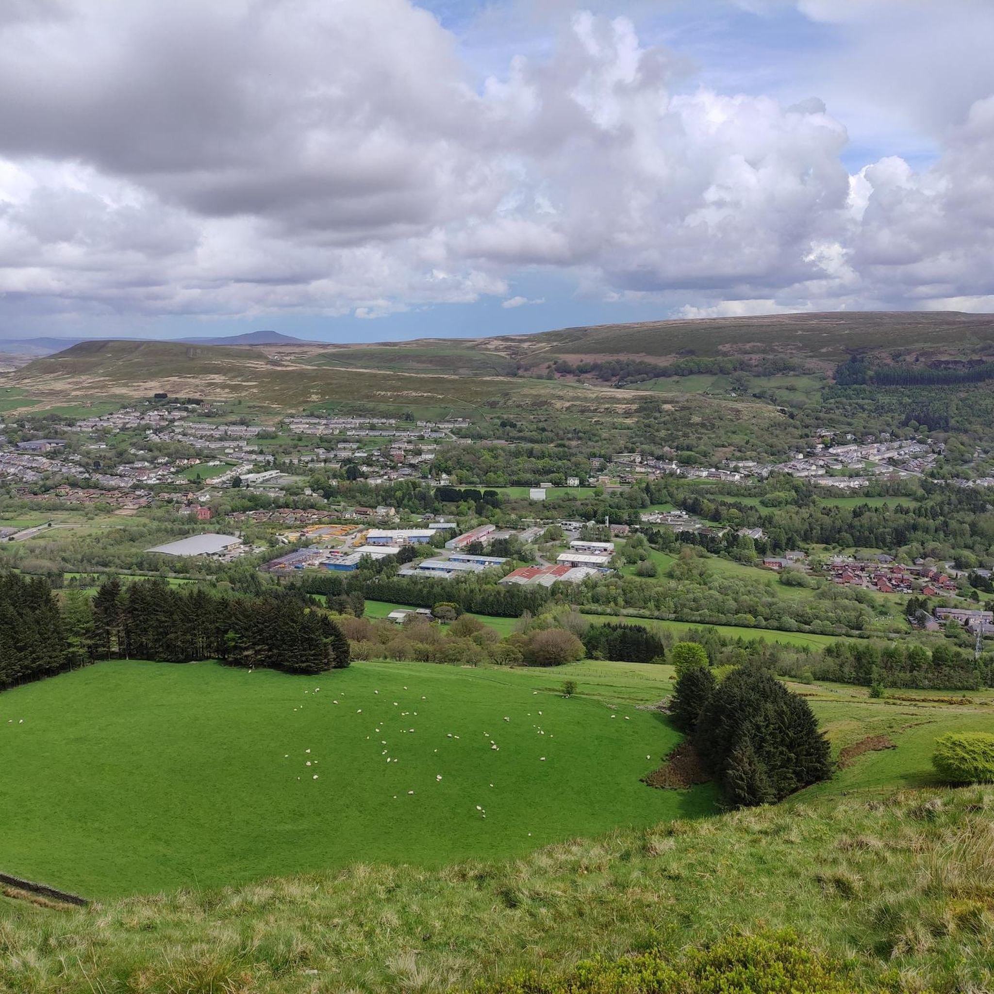
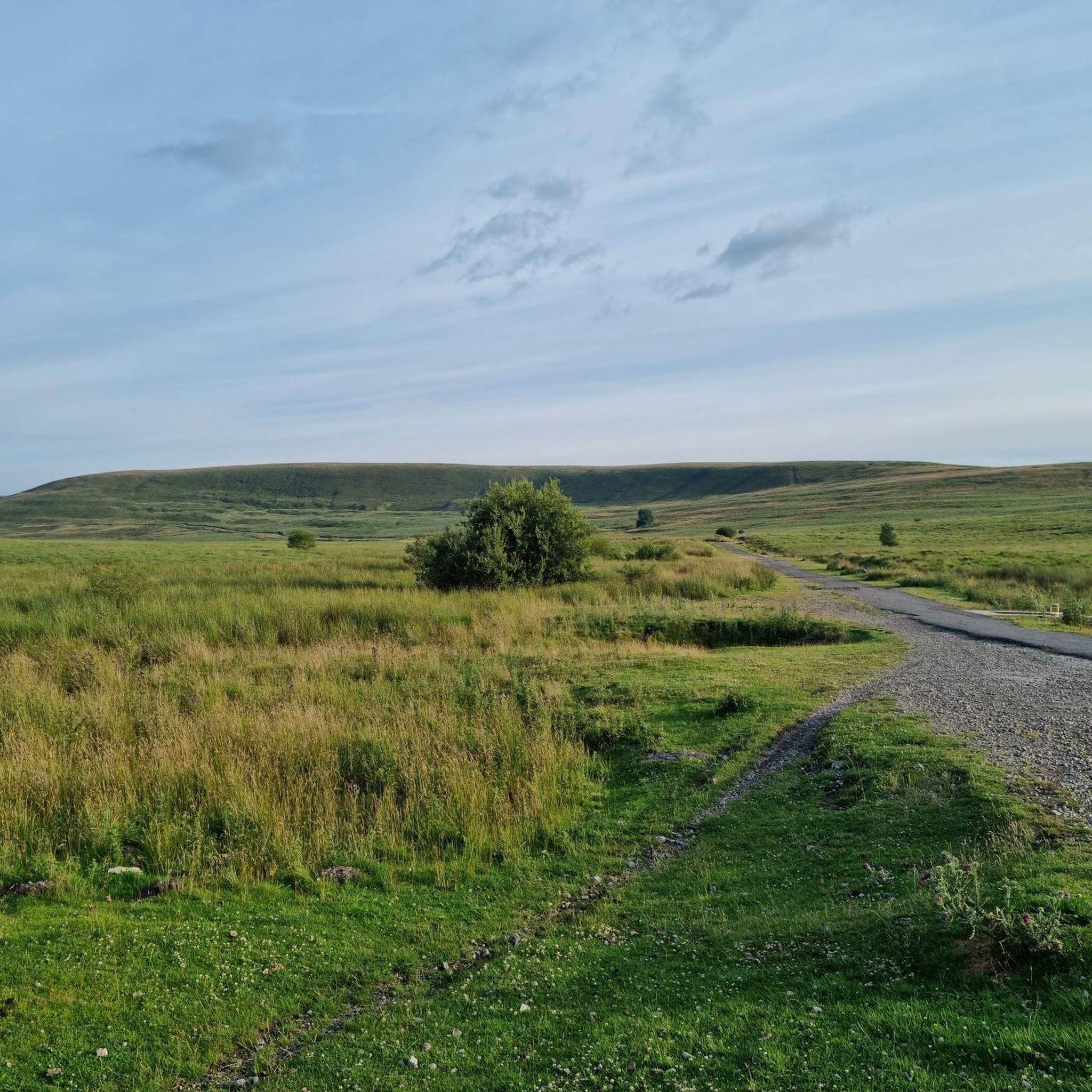
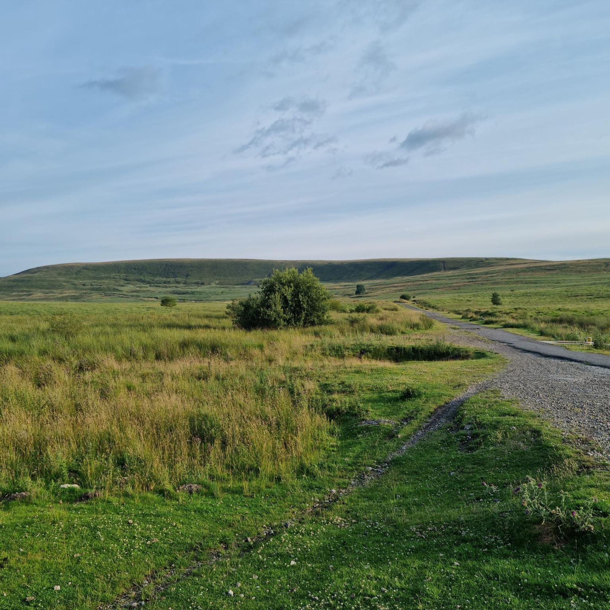
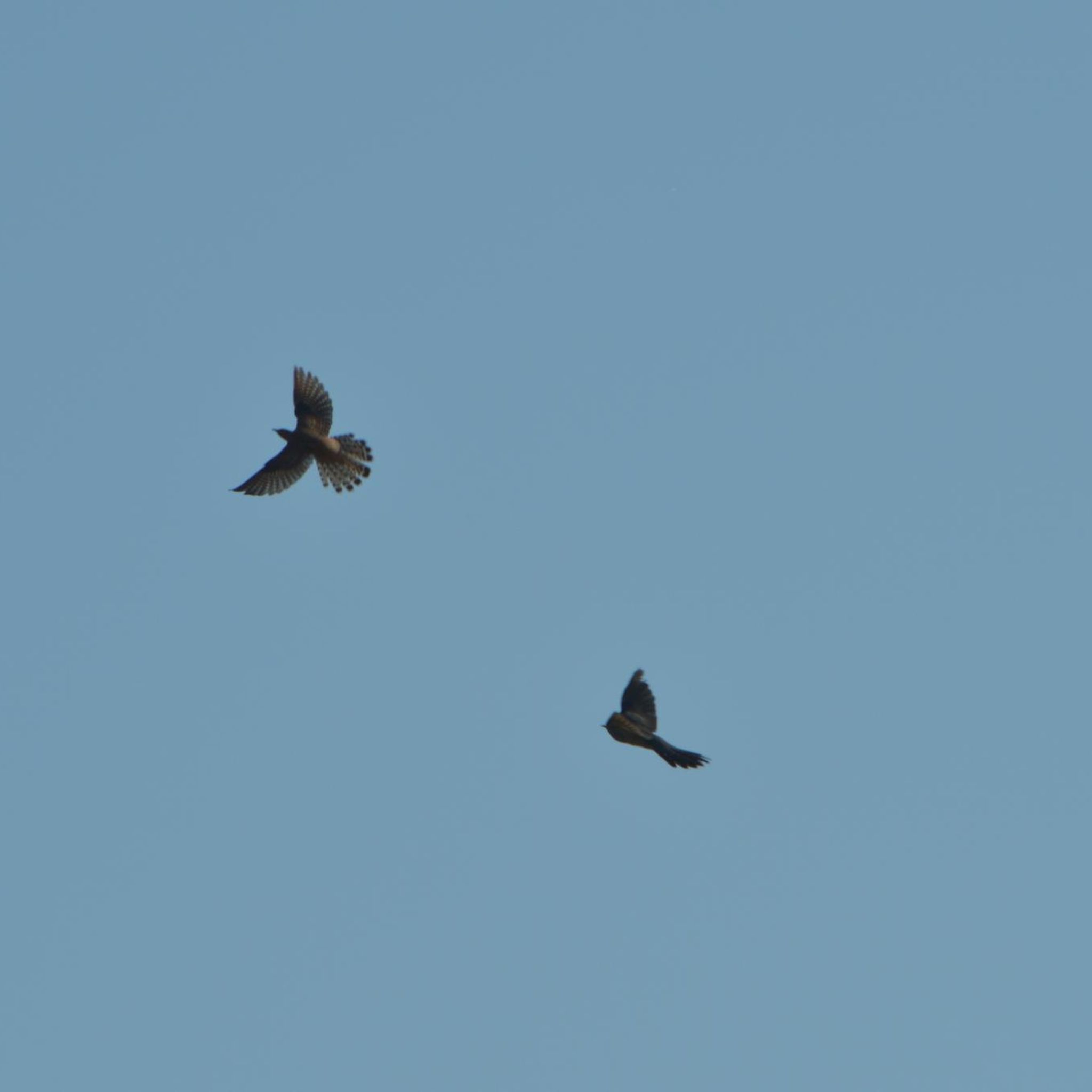
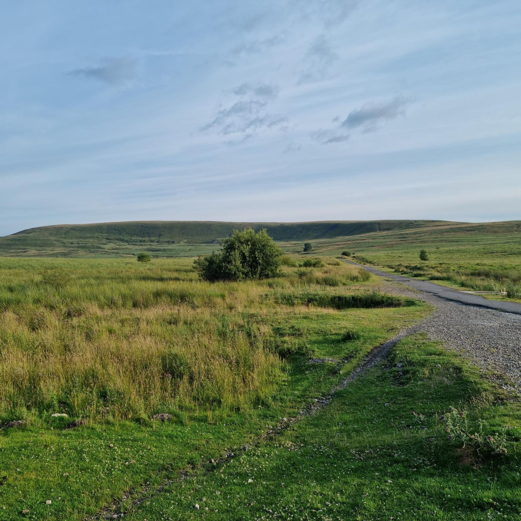
Tips from the Community


Established in the late 18th Century near the site of an earlier works and forge, Clydach Ironworks continued operating until 1884. Sited in a beautiful location rich in industrial archaeology, tramroads and pathways, the nearby beech woodlands are some of the oldest in Wales. Folklore has it that Shakespeare was inspired to write his “Midsummer-Night’s Dream” in a cave nearby, having heard the local legends/story of Pwca.
1
0

Overgrown path on the way up but views are great
0
0


This is a great mining attraction with underground tours that last for about an hour and the best thing is that they are free. Big Pit is also a UNESCO World Heritage Site. The tour guides are also ex miners who mined these coal faces and are super funny and friendly. Cafe and toilet facilities on site.
0
0
Frequently Asked Questions
How many hiking trails are available in Nantyglo And Blaina?
There are over 290 hiking routes available in the Nantyglo And Blaina area, offering a wide variety of options for different preferences and skill levels.
What kind of terrain can I expect on hikes around Nantyglo And Blaina?
The region features diverse terrain, including rolling hills, deep valleys, and remnants of its industrial heritage now reclaimed by nature. You'll find a mix of woodland paths, open moorland, and routes alongside former railway lines and waterways.
Are there options for different hiking abilities in Nantyglo And Blaina?
Yes, the trails cater to various abilities. There are over 100 easy routes, around 140 moderate trails, and about 45 more challenging hikes, ensuring there's something for everyone.
What do other hikers say about the trails in Nantyglo And Blaina?
The trails in Nantyglo And Blaina are highly regarded by the komoot community, with an average rating of 4.6 stars from over 1,300 reviews. Hikers often praise the area's blend of natural beauty and historical industrial sites.
Are there any circular hiking routes in the area?
Many routes in Nantyglo And Blaina are designed as circular walks. For example, the Clydach Gorge Viaduct – Clydach Ironworks Ruins loop from Llanelly is an easy 3.6-mile (5.7 km) circular trail exploring historical sites.
Can I find easy or beginner-friendly walks in Nantyglo And Blaina?
Absolutely. Over 100 of the trails in Nantyglo And Blaina are rated as easy. A great option for beginners is the Coity Tip Trail – Whistle Inn and Old Railway loop from Big Pit: National Coal Museum, an easy 3-mile (4.8 km) route.
Are there any family-friendly hiking options?
Yes, many of the easier trails are suitable for families. The Abandoned Coal Mine loop from Cym Clydach National Nature Reserve is an easy 4.5-mile (7.2 km) path that winds through a nature reserve, offering an engaging experience for all ages.
Are dogs allowed on the hiking trails?
Generally, dogs are welcome on most public footpaths and trails in the Nantyglo And Blaina area. However, it's always best to keep them on a lead, especially near livestock or in nature reserves, and to follow the Countryside Code.
What are some interesting landmarks or natural features to see while hiking?
The area is rich in both natural and historical landmarks. You can explore sites like the Blorenge summit, the Keeper's Pond, or the Crug Hywel (Table Mountain), an Iron Age hillfort. Many trails also pass by remnants of the region's industrial past.
Are there any trails that offer good viewpoints?
Yes, given the hilly terrain, many trails provide excellent viewpoints. For instance, the Mynydd Llangynidr Cairn Summit is a notable viewpoint in the vicinity, offering panoramic vistas of the surrounding valleys.
What is the typical length of hikes in Nantyglo And Blaina?
Hikes vary significantly in length. You can find shorter routes like the 3.6-mile (5.7 km) Clydach Gorge Viaduct loop, or longer excursions such as the 7.5-mile (12.1 km) Tyleri Valley Heights – Serene Pond loop.
Is public transport available to reach hiking trailheads?
While some trailheads might be accessible by local bus services, public transport options can be limited in parts of the South Wales Valleys. It's advisable to check local bus routes and schedules in advance if you plan to rely on public transport to reach specific starting points.
Are there any hidden gem walks or less-known trails?
The area is full of paths that wind through less-trafficked areas, often revealing quiet woodlands and historical sites. Exploring trails that diverge from the main valley floors can often lead to peaceful and rewarding discoveries away from more popular routes.
Most popular attractions around Nantyglo And Blaina

Get inspired with the komoot mobile app


Explore more
Browse the best Hikes in other regions.
