The best running trails around Slaidburn
4.8
(30)
1,534
runners
64
runs
Jogging around Slaidburn offers a diverse landscape for runners, characterized by rolling hills, river valleys, and extensive forest areas. The region features trails alongside the River Hodder and around Stocks Reservoir, providing varied terrain for different running preferences. Runners can explore parts of the Forest of Bowland, known for its rural beauty and open spaces. The area's natural features make it suitable for both leisurely runs and more challenging trail experiences.
Best jogging routes around Slaidburn
- The most popular jogging…
Last updated: October 8, 2026
10
runners
18.1km
02:12
390m
390m
This difficult 11.2-mile jogging loop in the Forest of Bowland offers diverse terrain, stunning views, and riverside paths near Dunsop Bridg
13
runners
14.3km
01:44
400m
400m
Hard run. Very good fitness required. Mostly paved surfaces. Suitable for all skill levels.

10
runners
Moderate run. Good fitness required. Mostly paved surfaces. Suitable for all skill levels.
9
runners
11.9km
01:17
160m
160m
Moderate run. Good fitness required. Mostly paved surfaces. Suitable for all skill levels.
6
runners
15.2km
01:38
220m
220m
Hard run. Very good fitness required. Mostly paved surfaces. Suitable for all skill levels.
Get access to more routes and recommendations from other explorers.
Already have an account?
Our route recommendations are based on thousands of hikes, rides, and runs completed by other people on komoot.
Start today with a free account
Your next adventure awaits.
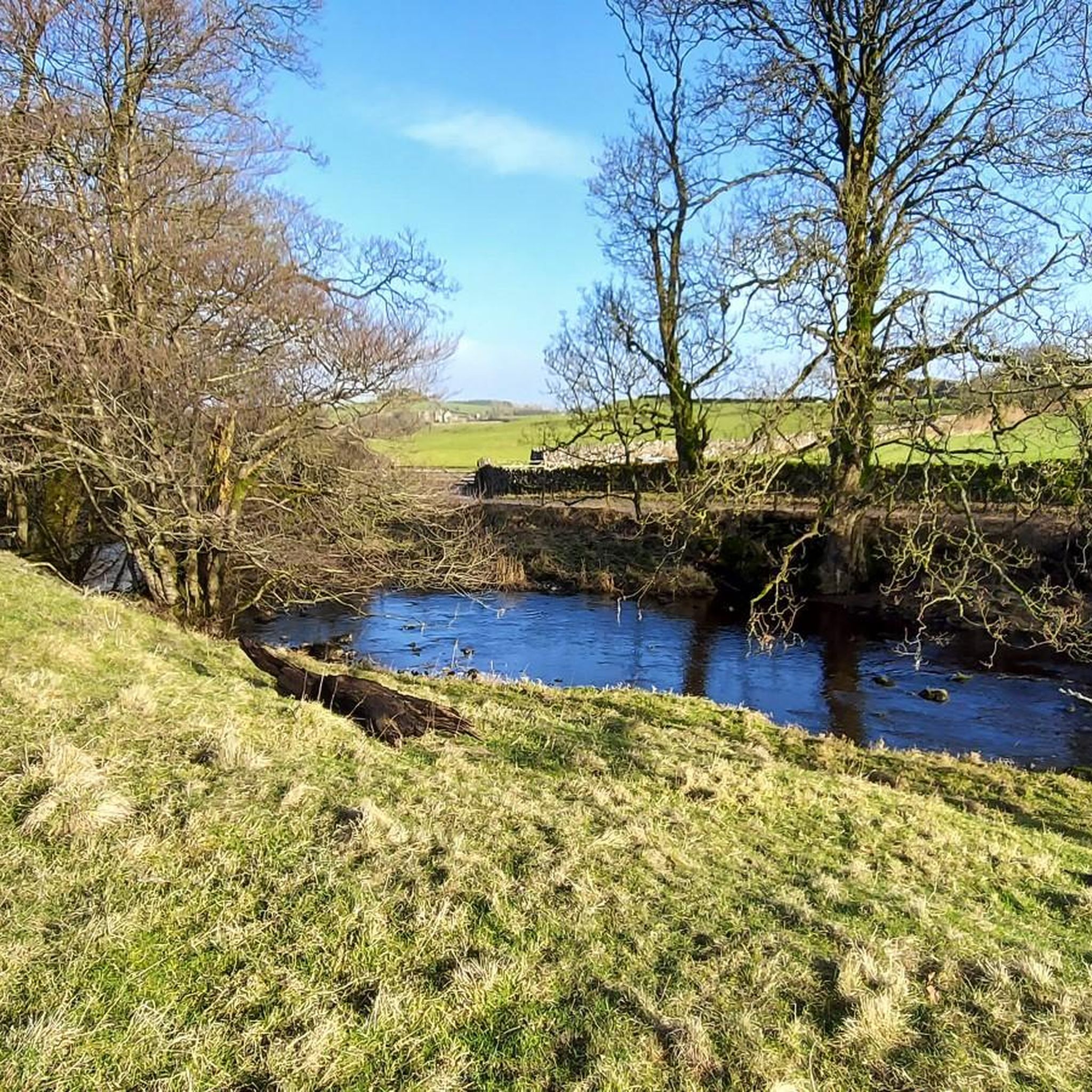
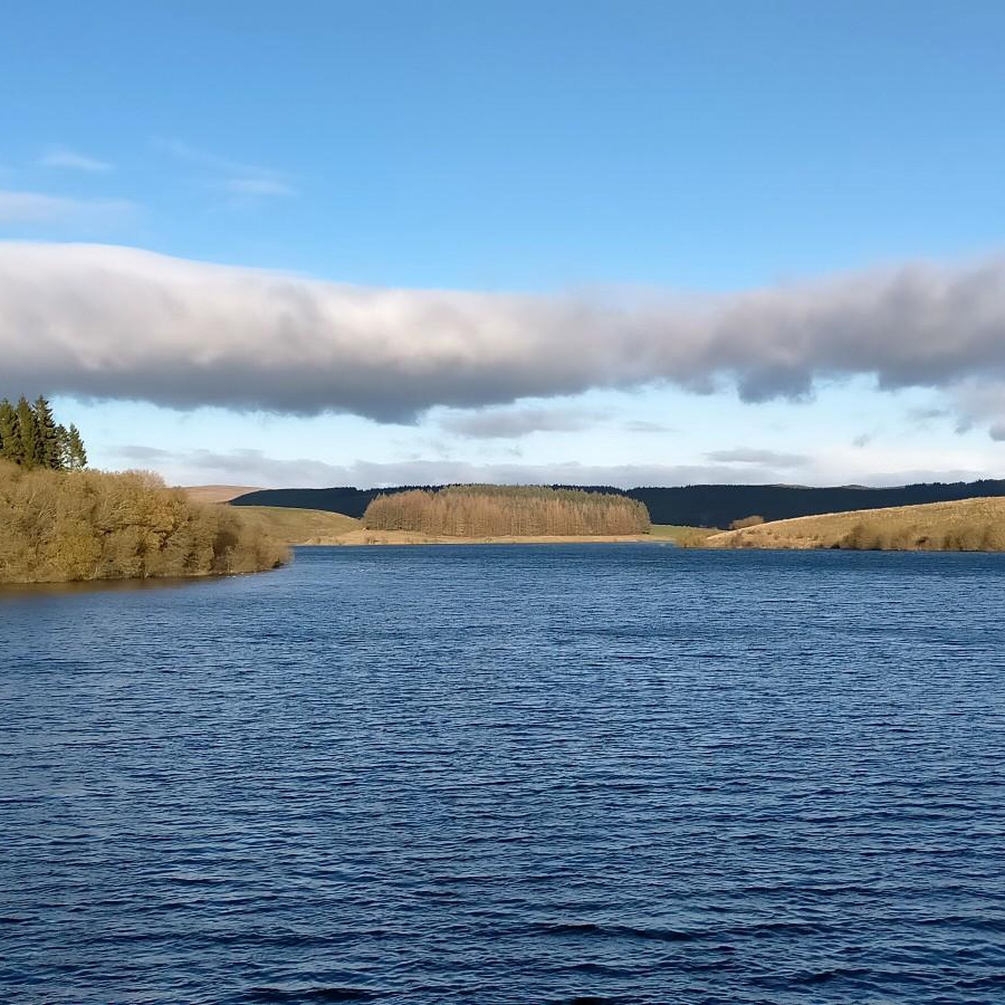

Tips from the Community

This is marked as an intermediate walk which, in the main is accurate. The walk starts with a steep incline, well covered in the walk description. What is less documented is the subsequent decent which can be challenging for the novice/ intermediate walker. The path down is narrow and the potential fall severe. Please be aware. Other than that, the walk offers wonderful views after the initial climb and relatively sedate walk after decent.
0
0


The actual centre of the British Isles is roughly 4 miles from the village but it is a pretty village to visit on the banks of the River Hodder.
0
1
Friendly and nice cafe. Very helpful with directions etc…
1
0

🌿 The village is a gateway to stunning routes like the Trough of Bowland, Whin Fell, and along the River Dunsop. It’s perfect for peaceful countryside walks 📍 A phone box in the village marks the “exact center” of the United Kingdom, as determined by the Ordnance Survey. ☕ Puddleducks Café is great to grab a coffee and/or cakes at the start or end of your walk 🦌 The area is rich in wildlife, including deer, birds of prey, and rare wading birds, making it great for nature lovers. 🚴♂️ Also great pit-stop for cyclists heading through the Forest of Bowland’s quiet lanes and rolling hills
1
0

Frequently Asked Questions
How many running routes are available around Slaidburn?
There are nearly 70 running routes available around Slaidburn, offering a diverse range of experiences for all skill levels. These routes are highly rated by the komoot community, with an average score of 4.8 stars.
What kind of terrain can I expect on running trails in Slaidburn?
Running in Slaidburn offers a varied landscape, characterized by rolling hills, picturesque river valleys, and extensive forest areas. You'll find trails alongside the River Hodder and around Stocks Reservoir, providing options from leisurely riverside paths to more challenging climbs within the Forest of Bowland.
Are there easy running routes suitable for beginners in Slaidburn?
Yes, Slaidburn offers a few easier running options. While many routes feature moderate to difficult terrain, there are 4 routes specifically categorized as easy. These typically involve less elevation gain and shorter distances, perfect for those new to trail running or looking for a relaxed jog.
Where can I find challenging running trails around Slaidburn?
For experienced runners seeking a challenge, Slaidburn has 15 difficult routes. One such route is the Dunsop Bridge & River Hodder loop, an 11.2-mile (18.1 km) trail with significant elevation gain. Another demanding option is the View of the Forest of Bowland – Puddle Ducks loop from Dunsop Bridge, which is 9.0 miles (14.5 km) long and offers expansive views.
Are there any circular running routes in the Slaidburn area?
Many of the running routes around Slaidburn are circular, allowing you to start and finish in the same location. An example is the Stocks Hide (Stocks Reservoir) – Stacks Bird Hide loop from Easington, a 4.2-mile (6.7 km) moderate trail around the scenic Stocks Reservoir.
What are some scenic running routes in Slaidburn?
Slaidburn is known for its scenic beauty. The View of the Forest of Bowland – Puddle Ducks loop from Dunsop Bridge offers expansive vistas across the Forest of Bowland. Routes around Stocks Reservoir, such as the Stocks Hide (Stocks Reservoir) – Stacks Bird Hide loop from Easington, also provide beautiful waterside views.
Are there any family-friendly running routes in Slaidburn?
While specific 'family-friendly' routes are not explicitly categorized, the 4 easy routes available would be most suitable for families with younger children or those looking for a less strenuous outing. These routes typically feature gentler gradients and shorter distances.
Are dogs allowed on the running trails around Slaidburn?
Many trails in the Forest of Bowland, including those around Slaidburn, are dog-friendly. However, it's always recommended to keep dogs on a lead, especially near livestock or during nesting seasons, and to follow the Countryside Code. Check specific route details for any restrictions.
What attractions or landmarks can I see while running in Slaidburn?
Several interesting points can be found near the running routes. You might pass by Dunsop Bridge – Centre of the United Kingdom, or enjoy views from the Trough of Bowland Pass. The charming Downham Village is also a notable highlight in the wider area.
Is there parking available near the running routes in Slaidburn?
Yes, parking is generally available in key starting points for many routes, such as Dunsop Bridge or near Stocks Reservoir. Specific parking information can often be found in the details of individual komoot routes or by checking local signage upon arrival.
What is the best time of year to go running in Slaidburn?
Slaidburn offers beautiful running conditions throughout much of the year. Spring and autumn provide pleasant temperatures and vibrant scenery. Summer is also popular, though trails can be busier. Winter running is possible, but be prepared for potentially muddy or icy conditions, especially on higher ground.
Are there any running routes that pass by pubs or cafes in Slaidburn?
Many routes in the Slaidburn area start or pass through villages like Dunsop Bridge, which has local amenities including cafes and pubs like the Puddle Ducks Tea House. The Puddle Ducks Tea House loop from Dunsop Bridge is a moderate 7.5-mile (12 km) route that incorporates this popular spot.
Most popular routes around Slaidburn
Most popular attractions around Slaidburn

Get inspired with the komoot mobile app


Explore more
Browse the best Running Trails & Routes in other regions.
