The best road cycling routes around Slaidburn
4.6
(65)
3,012
riders
31
rides
Road cycling routes around Slaidburn are set within the Forest of Bowland National Landscape, offering diverse terrain for cyclists. The region is characterized by quiet roads, rolling fells, and river valleys, including the River Hodder. Cyclists encounter varied elevation gains, from gentle ascents along valley floors to challenging climbs over the Bowland Fells. The landscape features a mix of moorland, hay meadows, and broadleaved woods, providing a tranquil environment for road biking.
Best road cycling routes around Slaidburn
- The most…
Last updated: October 13, 2026
53
riders
Easy road ride. Great for any fitness level. Mostly well-paved surfaces and easy to ride.
5.0
(2)
26
riders
42.4km
02:40
640m
640m
Moderate road ride. Good fitness required. Mostly well-paved surfaces and easy to ride.

9
riders
96.4km
05:26
1,690m
1,690m
Hard road ride. Very good fitness required. Some segments of this route may be unpaved and difficult to ride.
14
riders
91.9km
04:54
1,400m
1,410m
Hard road ride. Very good fitness required. Some segments of this route may be unpaved and difficult to ride.
5.0
(1)
15
riders
28.8km
01:21
360m
360m
Moderate road ride. Good fitness required. Mostly well-paved surfaces and easy to ride.
Get access to more routes and recommendations from other explorers.
Already have an account?
Our route recommendations are based on thousands of hikes, rides, and runs completed by other people on komoot.
Start today with a free account
Your next adventure awaits.
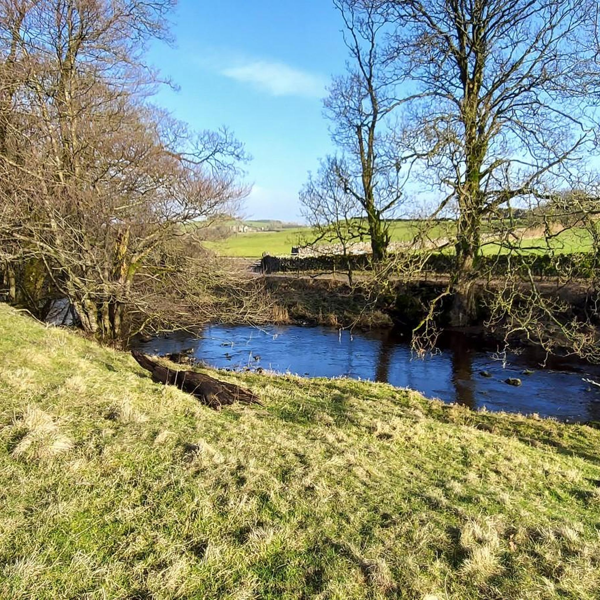
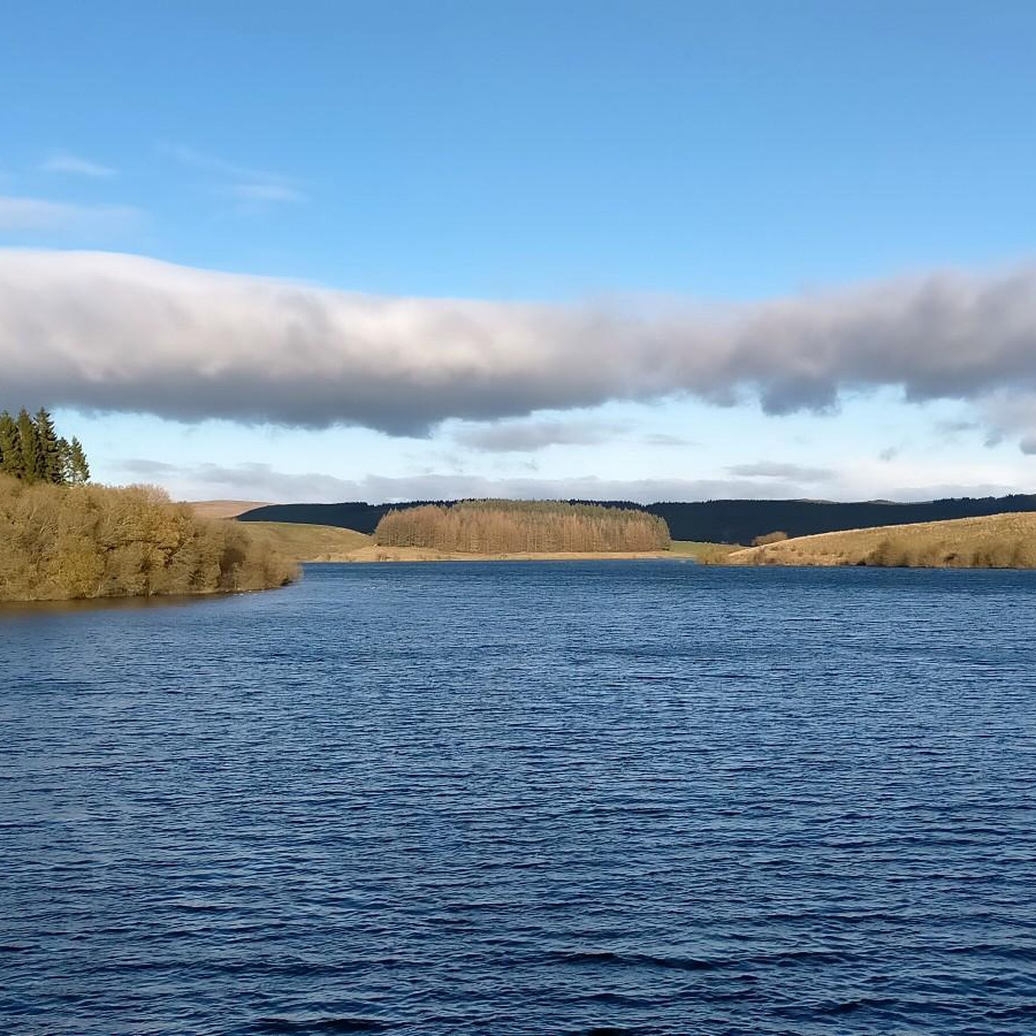
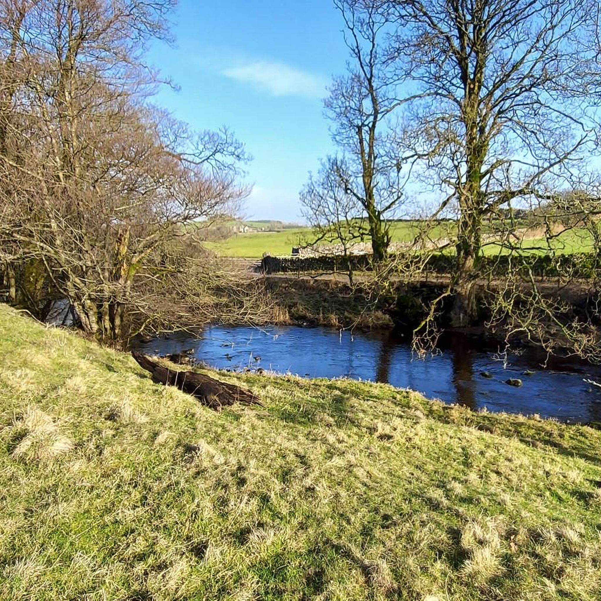
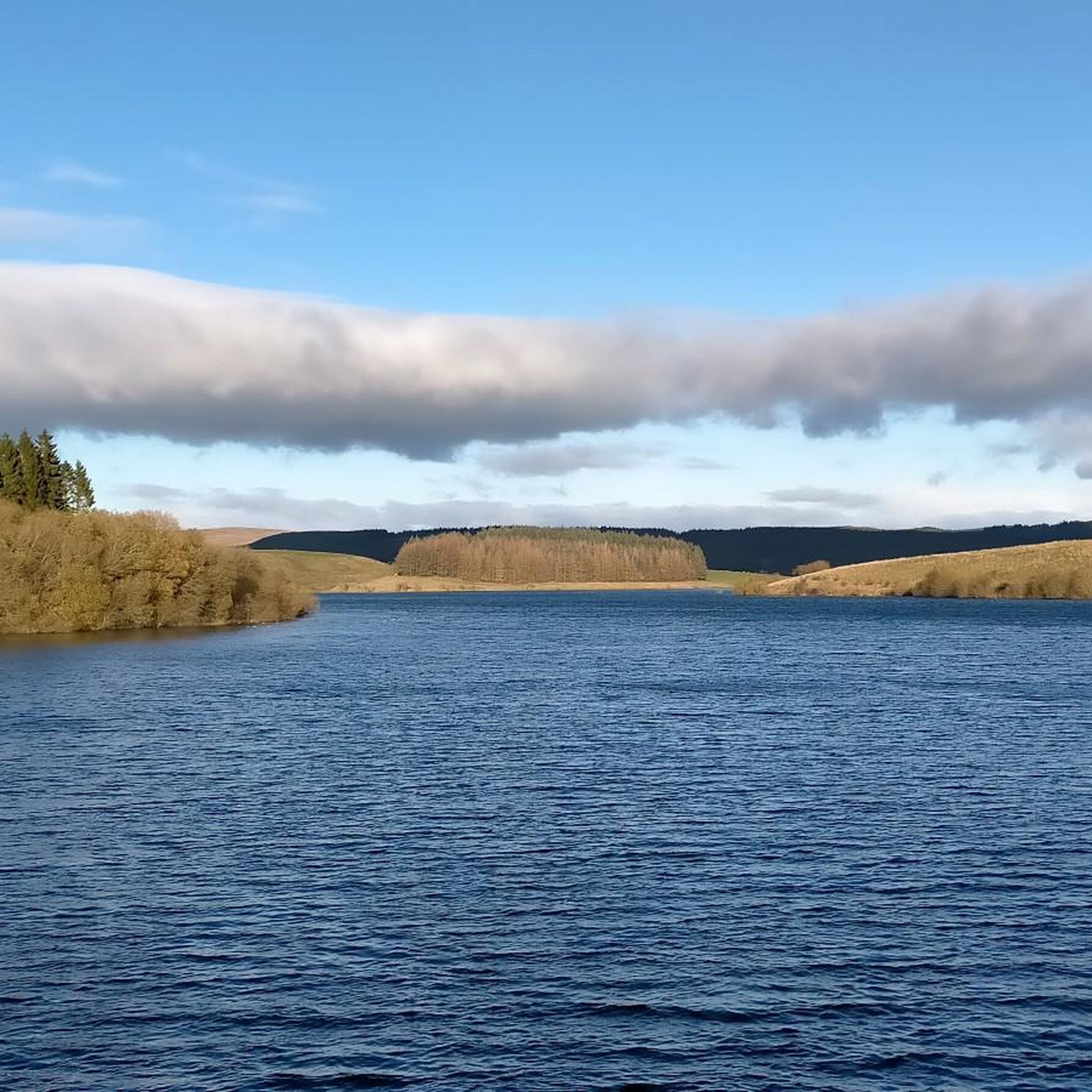

Tips from the Community


This is marked as an intermediate walk which, in the main is accurate. The walk starts with a steep incline, well covered in the walk description. What is less documented is the subsequent decent which can be challenging for the novice/ intermediate walker. The path down is narrow and the potential fall severe. Please be aware. Other than that, the walk offers wonderful views after the initial climb and relatively sedate walk after decent.
0
0


The actual centre of the British Isles is roughly 4 miles from the village but it is a pretty village to visit on the banks of the River Hodder.
0
1
Friendly and nice cafe. Very helpful with directions etc…
1
0

🌿 The village is a gateway to stunning routes like the Trough of Bowland, Whin Fell, and along the River Dunsop. It’s perfect for peaceful countryside walks 📍 A phone box in the village marks the “exact center” of the United Kingdom, as determined by the Ordnance Survey. ☕ Puddleducks Café is great to grab a coffee and/or cakes at the start or end of your walk 🦌 The area is rich in wildlife, including deer, birds of prey, and rare wading birds, making it great for nature lovers. 🚴♂️ Also great pit-stop for cyclists heading through the Forest of Bowland’s quiet lanes and rolling hills
1
0


This is a free car park with 19 spaces and 2 disabled spaces. There are public conveniences including an accessibility bathroom. Overnight stays are prohibited. What3words location: linked, buckling, assure
1
0
Frequently Asked Questions
How many road cycling routes are available around Slaidburn?
There are over 30 road cycling routes around Slaidburn, offering a diverse range of experiences. These include 11 easy routes, 13 moderate routes, and 6 difficult routes, catering to various fitness levels.
What kind of terrain can I expect on road cycling routes near Slaidburn?
The Slaidburn area, nestled within the Forest of Bowland National Landscape, offers varied terrain. You'll primarily find quiet country roads, rolling fells, and picturesque river valleys like the Hodder. While most surfaces are well-paved, some harder routes might include segments that are unpaved or rough, especially on challenging climbs or remote sections like the Salter Fell Road.
Are there challenging climbs for experienced road cyclists in Slaidburn?
Yes, Slaidburn is known for its challenging climbs. The Trough of Bowland is a popular highlight with steep ascents, and the Cross of Greet Climb, featured in the '100 Greatest Cycling Climbs,' offers a significant test. For example, the Cross of Greet Climb – Barbon Dale Road loop from St Andrew is a difficult 96.3 km route with over 1600 meters of elevation gain.
Are there easier road cycling routes suitable for beginners or less experienced riders?
Absolutely. The region offers several easy routes with gentle gradients, particularly along valley floors. A great option for beginners is the Holton Bay Broadland Car Park loop from Bolton-by-Bowland, an easy 17.0 km ride with minimal elevation gain, perfect for a relaxed outing through the scenic Hodder Valley.
What scenic views or landmarks can I expect to see while road cycling around Slaidburn?
Road cycling around Slaidburn offers breathtaking views of the Forest of Bowland National Landscape. You can expect to see heather moorland, blanket bog, hay meadows, and broadleaved woods. Notable scenic points include the Trough of Bowland Pass and the Cross of Greet Climb from Slaidburn, both offering expansive vistas. The area also features the tranquil River Hodder and the wildlife-rich Stocks Reservoir.
Are there any historical sites or attractions near the cycling routes in Slaidburn?
Slaidburn itself is rich in history. You can visit the 10th-century 'Angel Stone' carving at the Slaidburn Heritage Centre or the 15th-century Church of St. Andrew. The 16th-century Hark to Bounty Inn, which houses the original Moot Courtroom of the Forest of Bowland, is also a notable stop. Further afield, the village of Dunsop Bridge is known as the geographical center of Great Britain.
What do other cyclists say about road cycling in Slaidburn?
The road cycling routes around Slaidburn are highly rated by the komoot community, with an average score of 4.7 stars from over 50 reviews. More than 3000 road cyclists have explored the area, often praising the quiet roads, diverse terrain, and the stunning, tranquil environment of the Forest of Bowland.
Are there any circular road cycling routes starting from Slaidburn?
Yes, many routes in the Slaidburn area are designed as loops, allowing you to start and finish in the same location. An example is the Bowland Knotts Climb – View of the Forest of Bowland loop from Easington, a moderate 42.4 km ride that offers significant climbs and panoramic views.
Where can I park my car when cycling in Slaidburn?
Slaidburn village offers parking facilities, making it a convenient starting point for many routes. Additionally, some specific routes, like the Holton Bay Broadland Car Park loop from Bolton-by-Bowland, indicate parking availability at their starting points.
Are there places to eat or drink along the road cycling routes in Slaidburn?
Slaidburn village itself has options for cyclists, including the historic Hark to Bounty Inn, a 16th-century coaching inn. While the remote nature of the Forest of Bowland means fewer establishments directly on every route, many rides can be planned to pass through or near villages with cafes and pubs, allowing for refreshment stops.
What is the best time of year for road cycling in Slaidburn?
The spring, summer, and early autumn months generally offer the most favorable conditions for road cycling in Slaidburn, with milder weather and longer daylight hours. However, the remote nature of the Bowland Fells means weather can change quickly, so it's always advisable to check forecasts and be prepared for varying conditions, even in summer.
Is public transport available to reach Slaidburn for cycling?
Slaidburn is a rural village, and public transport options are limited. It's generally more accessible by car, with parking available in the village. For detailed information on specific bus routes or schedules, it's best to consult local transport authorities or plan your journey in advance.
Most popular routes around Slaidburn
Most popular attractions around Slaidburn

Get inspired with the komoot mobile app


Explore more
Browse the best Road cycling routes in other regions.
