The best running trails in Hochleitenwald
4.4
(167)
3,408
runners
156
runs
Jogging in Hochleitenwald offers a network of routes through expansive mixed forests within the scenic Weinviertel region. The area is characterized by its typical hilly terrain, providing varied gradients for runners. It features one of Austria's largest contiguous oak-hornbeam forests, covering approximately 3,000 hectares, with diverse flora and fauna. This natural landscape provides a tranquil setting for running.
Best jogging routes in Hochleitenwald
- The most popular jogging route is View of Grundlsee and Gössl – View of lake loop from…
Last updated: October 8, 2026
4.8
(14)
369
runners
Moderate run. Good fitness required. Mostly paved surfaces. Suitable for all skill levels.
5.0
(1)
60
runners
16.0km
01:40
90m
90m
Hard run. Very good fitness required. Mostly paved surfaces. Suitable for all skill levels.

3.0
(3)
7
runners
7.30km
00:49
150m
150m
Moderate run. Good fitness required. Mostly paved surfaces. Suitable for all skill levels.
5.0
(1)
5
runners
6.90km
00:44
60m
60m
Moderate run. Good fitness required. Mostly paved surfaces. Suitable for all skill levels.
5.0
(1)
99
runners
9.15km
00:57
30m
30m
Moderate run. Good fitness required. Mostly paved surfaces. Suitable for all skill levels.
Get access to more routes and recommendations from other explorers.
Already have an account?
Our route recommendations are based on thousands of hikes, rides, and runs completed by other people on komoot.
Start today with a free account
Your next adventure awaits.
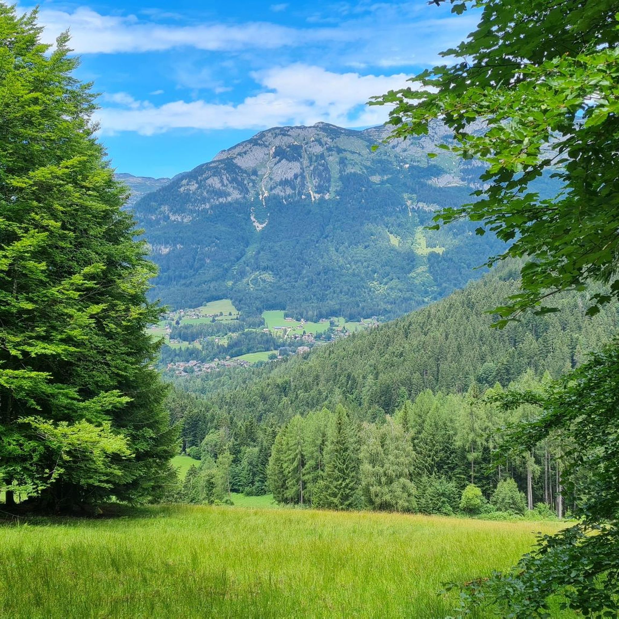
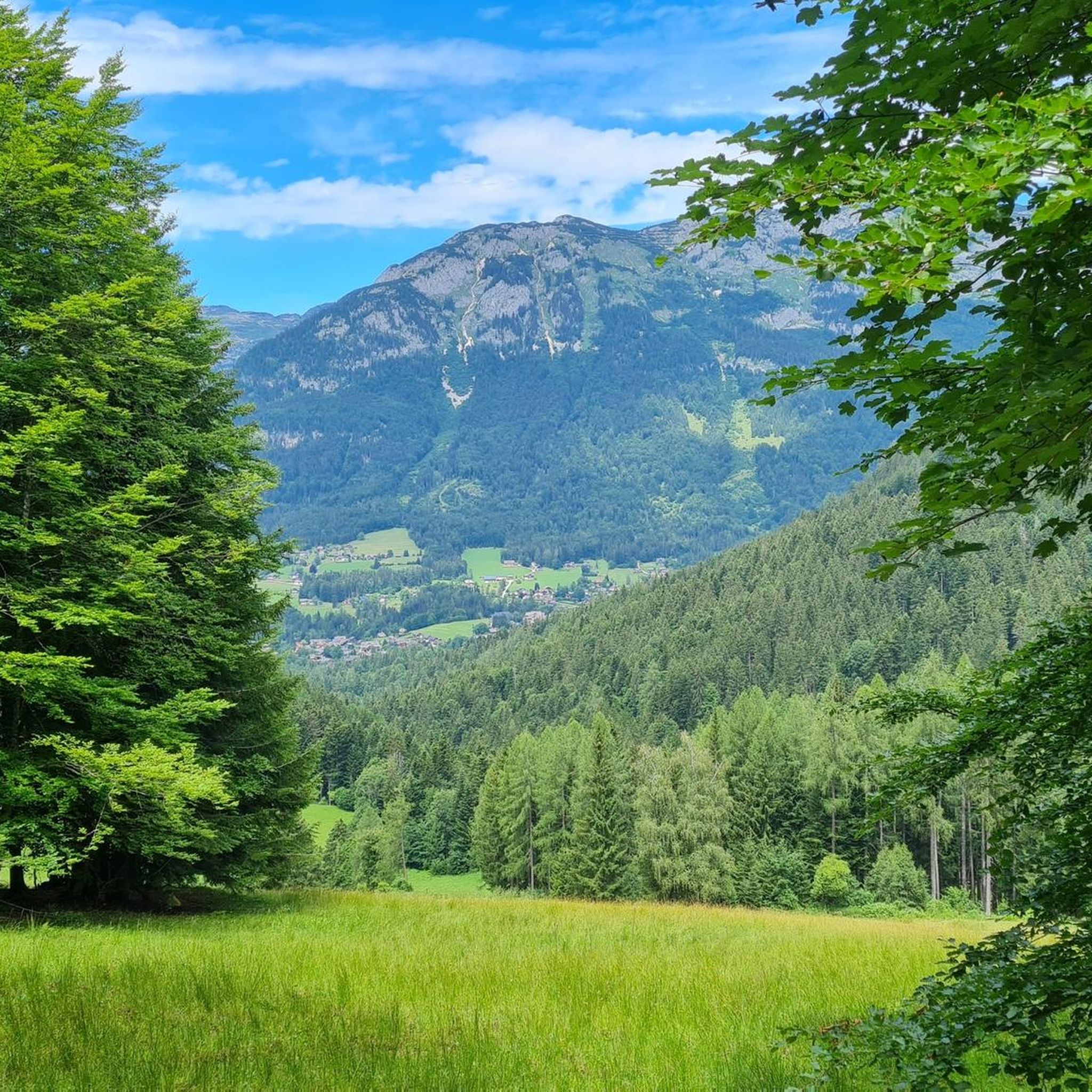
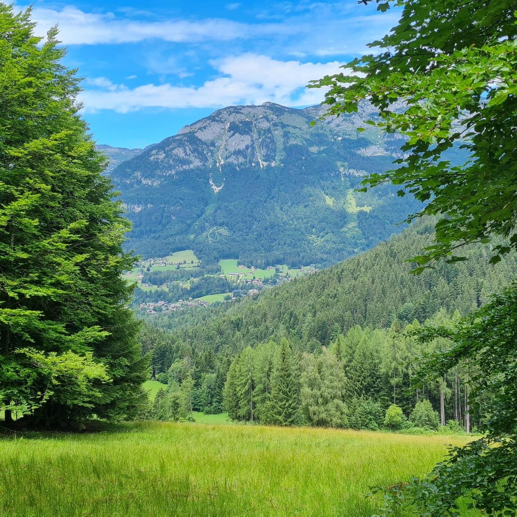
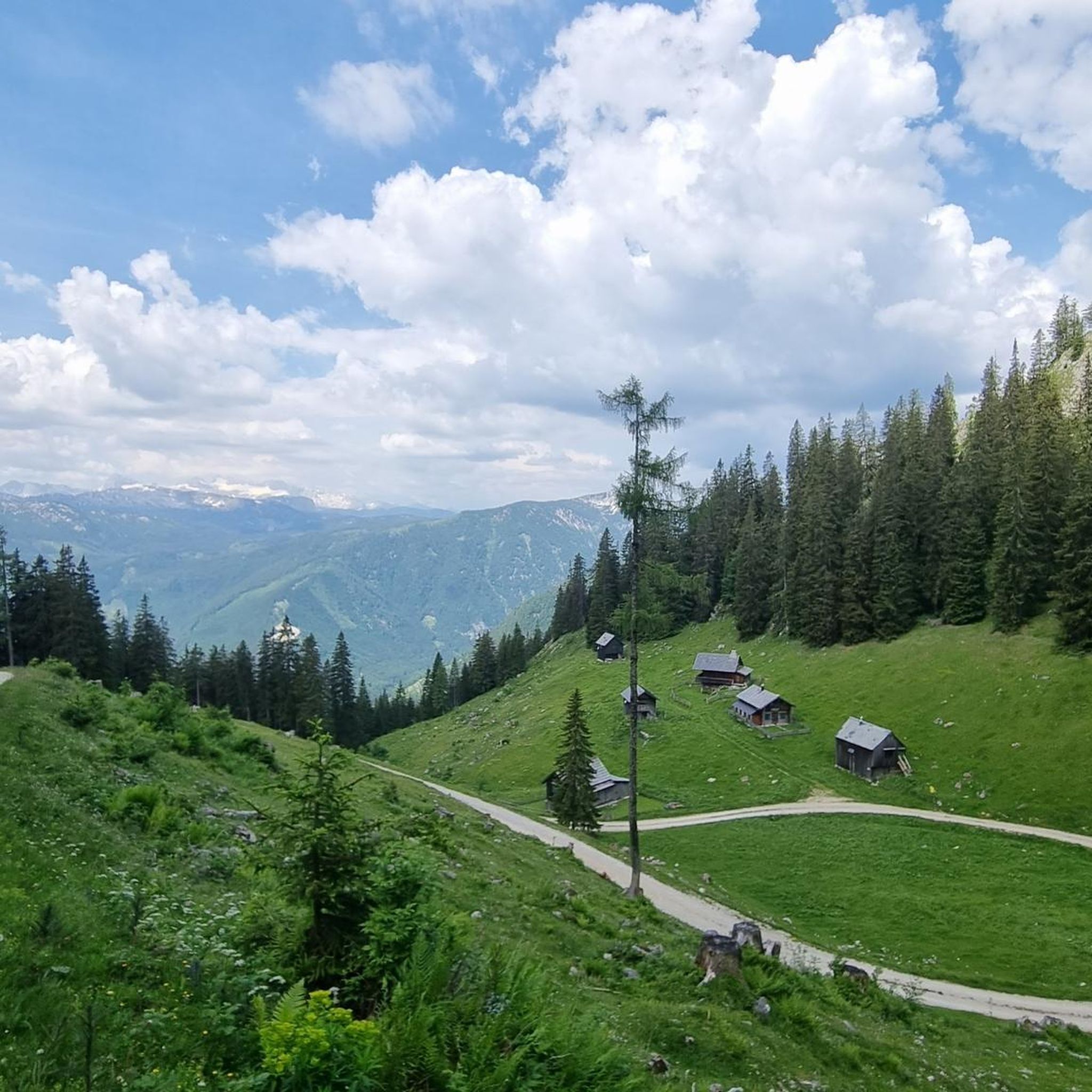
Tips from the Community

beautiful, but completely overcrowded
0
0
nice, but completely overcrowded
0
0
beautiful, but completely overcrowded
0
0
beautiful, but completely overcrowded
0
0
Frequently Asked Questions
How many running routes are available in Hochleitenwald?
Hochleitenwald offers a wide selection of running routes, with over 160 trails available. These range from easy paths to more challenging runs, catering to various fitness levels.
What kind of terrain can I expect on the jogging trails in Hochleitenwald?
The jogging trails in Hochleitenwald traverse expansive mixed forests, characterized by the typical hilly terrain of the Weinviertel region. You can expect varied gradients, from gentle slopes to more challenging ascents, all within a tranquil natural setting.
Are there running routes suitable for beginners or families in Hochleitenwald?
Yes, Hochleitenwald features a variety of routes suitable for all fitness levels. There are 13 easy routes and 105 moderate routes, many with easily accessible paths, making them ideal for beginners or families looking for a pleasant run or walk.
Can I bring my dog on the running trails in Hochleitenwald?
While the region is known for its natural beauty, specific regulations for dogs on trails can vary. It's generally advisable to keep dogs on a leash, especially given the diverse wildlife in Hochleitenwald. Always check local signage for any specific restrictions.
Are there any circular running paths in Hochleitenwald?
Yes, many of the running routes in Hochleitenwald are circular, allowing you to start and end at the same point. For example, the Strumern Karst Spring loop from Radlingpass is a moderate 4.3-mile (6.9 km) trail that offers a scenic circular experience through varied forest terrain.
What natural features or wildlife might I encounter while jogging in Hochleitenwald?
Hochleitenwald is one of Austria's largest contiguous oak-hornbeam forests, covering approximately 3,000 hectares. It's a haven for wildlife, including owls, various birds of prey, red and fallow deer, wild boars, and even the stag beetle. The forest's natural management practices, including leaving deadwood, foster a rich and diverse ecosystem.
Are there any specific viewpoints or landmarks to look out for on the running routes?
Yes, within the forest, you can find points of interest such as the 'Franzosensprung' and the 'Barbara Shrine in Traunwald'. Additionally, from the forest edge zones, you can enjoy picturesque views over the gentle hills of the Weinviertel.
How can I access the jogging routes in Hochleitenwald by public transport?
While Hochleitenwald is primarily accessed by car, some local bus services might connect to nearby villages. For specific public transport options to trailheads, it's recommended to check local transport schedules for the Weinviertel region, as direct access to all forest trails might be limited.
Is there parking available near the running trails in Hochleitenwald?
Yes, parking is generally available at various entry points to the Hochleitenwald. Many trailheads, especially those popular with runners and hikers, offer designated parking areas. It's advisable to check maps or local information for specific parking locations near your chosen starting point.
What do other runners say about their experience in Hochleitenwald?
The running routes in Hochleitenwald are highly rated by the komoot community, with an average score of 4.3 stars from 144 reviews. Runners often praise the tranquility of the forest, the well-maintained trails, and the opportunity to enjoy nature with a sense of solitude.
What is the best time of year to go jogging in Hochleitenwald?
Hochleitenwald is suitable for jogging year-round, but spring and autumn offer particularly pleasant conditions with mild temperatures and vibrant foliage. Summer provides lush greenery and shade from the forest canopy, while winter can offer serene, snow-covered trails, though some paths might be less accessible.
Are there any longer or more challenging running routes for experienced runners?
Absolutely. For experienced runners seeking a challenge, Hochleitenwald offers 50 difficult routes. One such option is the View of Grundlsee and Gössl – View of lake loop from Grundlsee, a demanding 9.3-mile (15.0 km) trail with significant elevation changes.
Can you recommend a moderate-difficulty running route with good views?
For a moderate run with continuous scenic views, consider the View of Lake Grundlsee – Grundlsee loop from Grundlsee. This 4.5-mile (7.3 km) path provides beautiful vistas of Lake Grundlsee throughout the route.
Are there running routes that offer views of Grundlsee?
Yes, several routes provide stunning views of Grundlsee. A popular choice is the Grundlsee – Grundlsee loop from Straßen Laimergasse, a 10.1-mile (16.2 km) route that offers expansive lake views and a rewarding running experience.
Most popular routes in Hochleitenwald

Get inspired with the komoot mobile app


Explore more
Browse the best Running Trails & Routes in other regions.
