The best walks and hikes in Hochleitenwald
4.6
(7163)
45,111
hikers
581
hikes
Hiking in Hochleitenwald features the rolling, gentle hills characteristic of the Weinviertel region, offering varied terrain and scenic vistas. The area is dominated by near-natural mixed woodlands, often referred to as a "wild boar forest," providing a rich habitat for wildlife. Trails frequently traverse idyllic farmland and beautiful forest edges, adding to the diverse visual experience. The landscape includes wet meadows, contributing to the ecological diversity of the region.
Best hiking trails in Hochleitenwald
- The most popular hiking route is…
Last updated: July 5, 2026
4.7
(10)
70
hikers
12.0km
05:02
780m
780m
Hard hike. Very good fitness required. Mostly accessible paths. Sure-footedness required.
3.6
(5)
25
hikers
8.41km
04:03
730m
730m
Moderate hike. Good fitness required. Mostly accessible paths. Sure-footedness required.

Sign up for free
4.9
(8)
34
hikers
19.3km
05:40
490m
490m
Hard hike. Very good fitness required. Mostly accessible paths. Sure-footedness required.
32
hikers
6.65km
03:43
660m
660m
Moderate hike. Good fitness required. Mostly accessible paths. Sure-footedness required.
4.9
(10)
60
hikers
7.49km
02:17
270m
270m
Moderate hike. Good fitness required. Easily-accessible paths. Suitable for all skill levels.
Get access to more routes and recommendations from other explorers.
Sign up for free
Already have an account?
Our route recommendations are based on thousands of hikes, rides, and runs completed by other people on komoot.
Start today with a free account
Your next adventure awaits.
Login or Signup
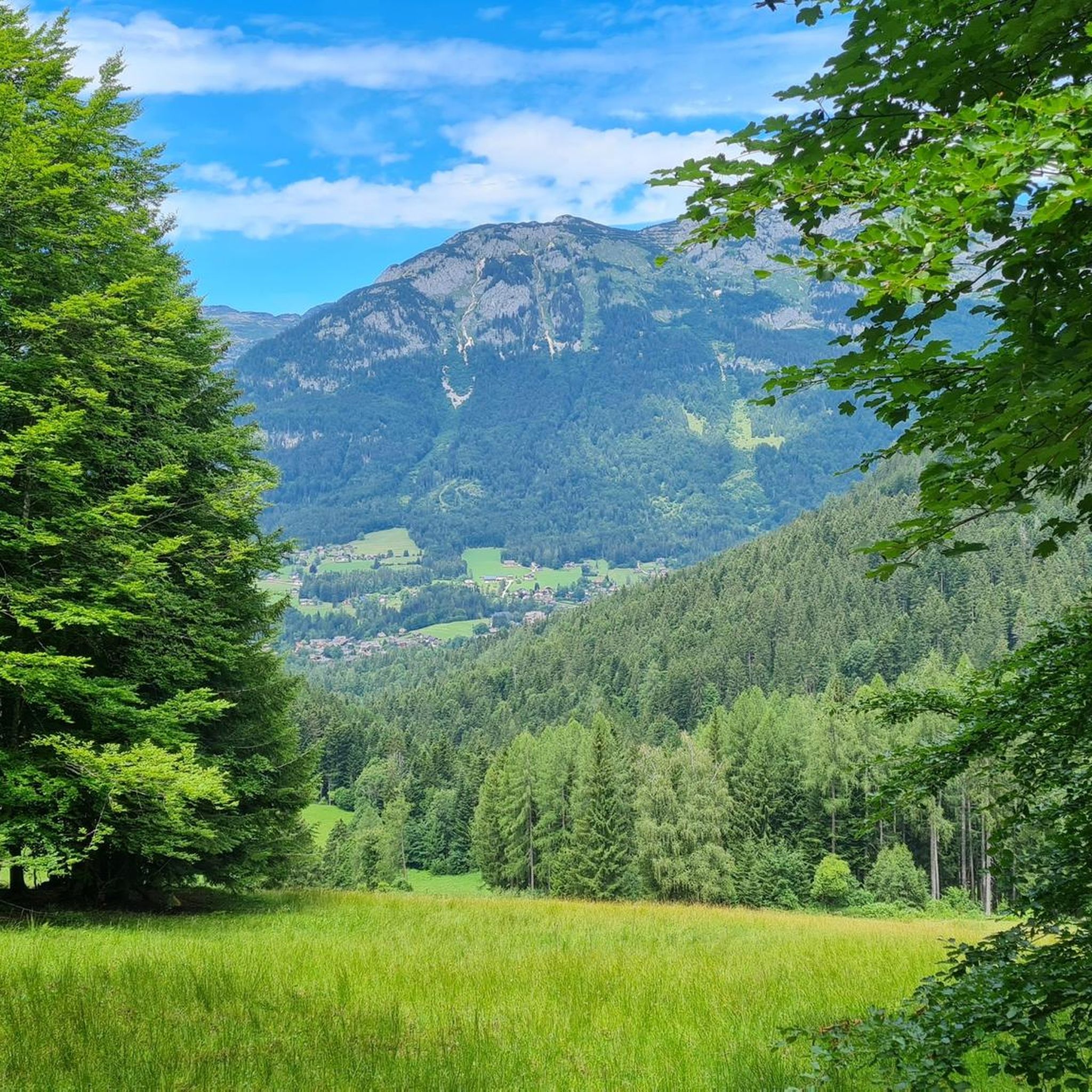
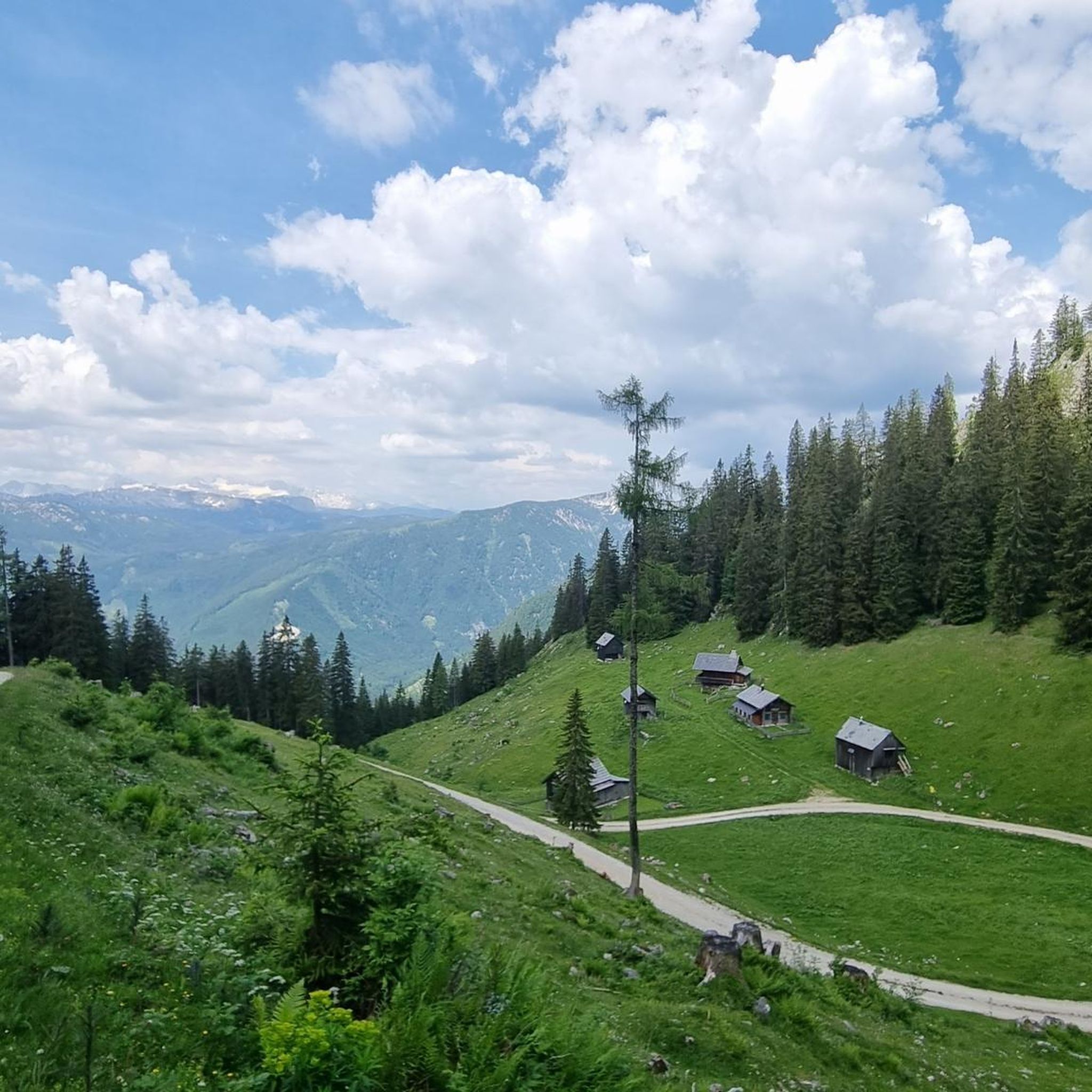
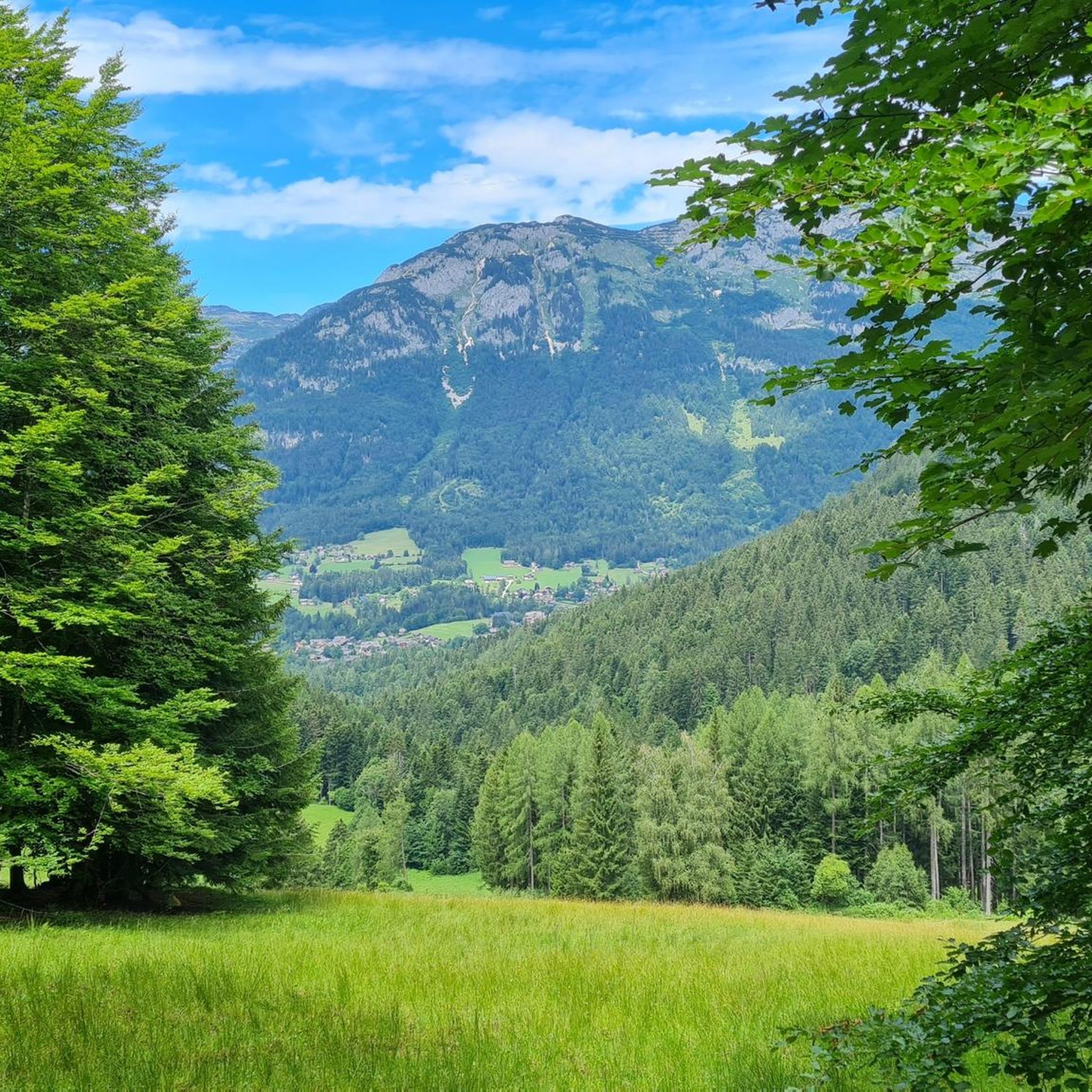
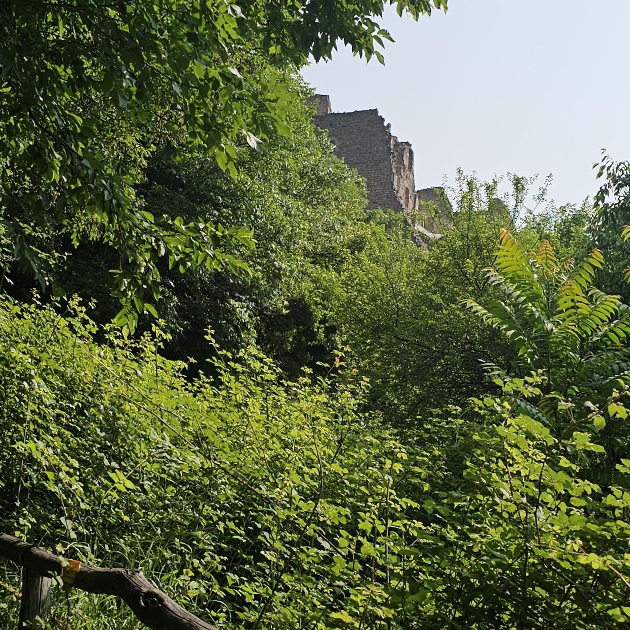
Tips from the Community

beautiful, but completely overrun
0
0
beautiful, but completely overcrowded
0
0

We used the boat on the Berge Seen Trail (6th and last stage) and used the time saved to go swimming.
0
0

On the way to Altausee past the Tressenstein
0
0

Fantastic view over the Altaussee towards Tressenstein [1201m] 👀💧🏔️
0
0

From the hiking trail you have a great view of Lake Altausseer. It is particularly beautiful when the mountains are reflected in the water.
1
0

When hiking in the mountains, you are always happy to have fresh water - as here
0
0

Great view of the Dachstein. If you're lucky, only slightly covered with clouds
0
0
Frequently Asked Questions
What kind of terrain can I expect when hiking in Hochleitenwald?
Hochleitenwald is characterized by the rolling, gentle hills typical of the Weinviertel region. You'll find a mix of near-natural mixed woodlands, often referred to as a "wild boar forest," alongside idyllic farmland and beautiful forest edge zones. Some paths also feature wet meadows, adding to the ecological diversity.
Are there many hiking trails available in Hochleitenwald?
Yes, Hochleitenwald offers a wide variety of hiking opportunities. There are over 580 routes available, catering to different fitness levels. You can find everything from easy strolls to more challenging excursions through its diverse landscapes.
What are the difficulty levels of the trails in Hochleitenwald?
The trails in Hochleitenwald range from easy to difficult. Approximately 250 routes are considered easy, over 230 are moderate, and nearly 100 routes are classified as difficult, offering options for various experience levels and preferences.
What are some interesting landmarks or attractions to see while hiking in Hochleitenwald?
While exploring Hochleitenwald, you might encounter the historic Franzosensprung – Barbara Shrine in Traunwald, a site with a local legend and annual floral decorations. Some routes also incorporate a Forest Adventure Trail. Additionally, the nearby town of Wolkersdorf features a historic castle, which can be a cultural highlight before or after your hike.
Is Hochleitenwald suitable for family-friendly hikes?
Yes, Hochleitenwald is well-suited for families. The area offers a range of trails, including many easy and moderate options with minimal elevation gain, making them accessible for children and those looking for a leisurely walk. The diverse natural environment provides an engaging experience for all ages.
Can I bring my dog on the hiking trails in Hochleitenwald?
Hochleitenwald's natural mixed woodlands and open spaces are generally welcoming for dogs. However, as it's known as a "wild boar forest," it's advisable to keep dogs on a leash, especially in areas where wildlife is prevalent, to ensure their safety and respect the natural habitat.
What is the best time of year to go hiking in Hochleitenwald?
Hochleitenwald offers pleasant hiking experiences throughout much of the year. Spring and autumn are particularly beautiful, with vibrant foliage or blooming flora. The forest provides shade in summer, and while winter hiking is possible, conditions may vary. For those visiting in autumn, the nearby Pillichsdorf Cellar Lane Festival can be a cultural addition to your trip.
Are there any circular hiking routes in Hochleitenwald?
Yes, many of the trails in Hochleitenwald are designed as circular routes, allowing you to start and end at the same point without retracing your steps. This design is popular for exploring the diverse landscapes, from forest edges to open farmland.
What do other hikers say about their experience in Hochleitenwald?
The komoot community highly rates hiking in Hochleitenwald, with an average score of 4.6 stars from over 7,000 reviews. Hikers often praise the quiet woodlands, varied terrain, and the opportunity to experience the unique natural beauty of the Weinviertel region.
Is public transport available to access hiking trails in Hochleitenwald?
While specific public transport connections directly to all trailheads may vary, the region is generally accessible. It's recommended to check local bus or train schedules to nearby towns like Wolkersdorf, which can serve as a starting point for many hikes.
Are there parking facilities available at the trailheads in Hochleitenwald?
Parking is generally available at common starting points for hikes around Hochleitenwald. Many villages and access points offer designated parking areas for hikers. It's always a good idea to check specific trailhead information if you plan to drive.
What kind of wildlife might I encounter in Hochleitenwald?
Hochleitenwald is known as a "wild boar forest" and is home to a considerable population of wild boars, which you may observe. The near-natural mixed woodlands and wet meadows also provide a rich habitat for various other animal and plant life.
Most popular routes in Hochleitenwald

Get inspired with the komoot mobile app


Explore more
Browse the best Hikes in other regions.
