The best mountain hikes in Hochleitenwald
4.7
(105)
1,523
hikers
30
hikes
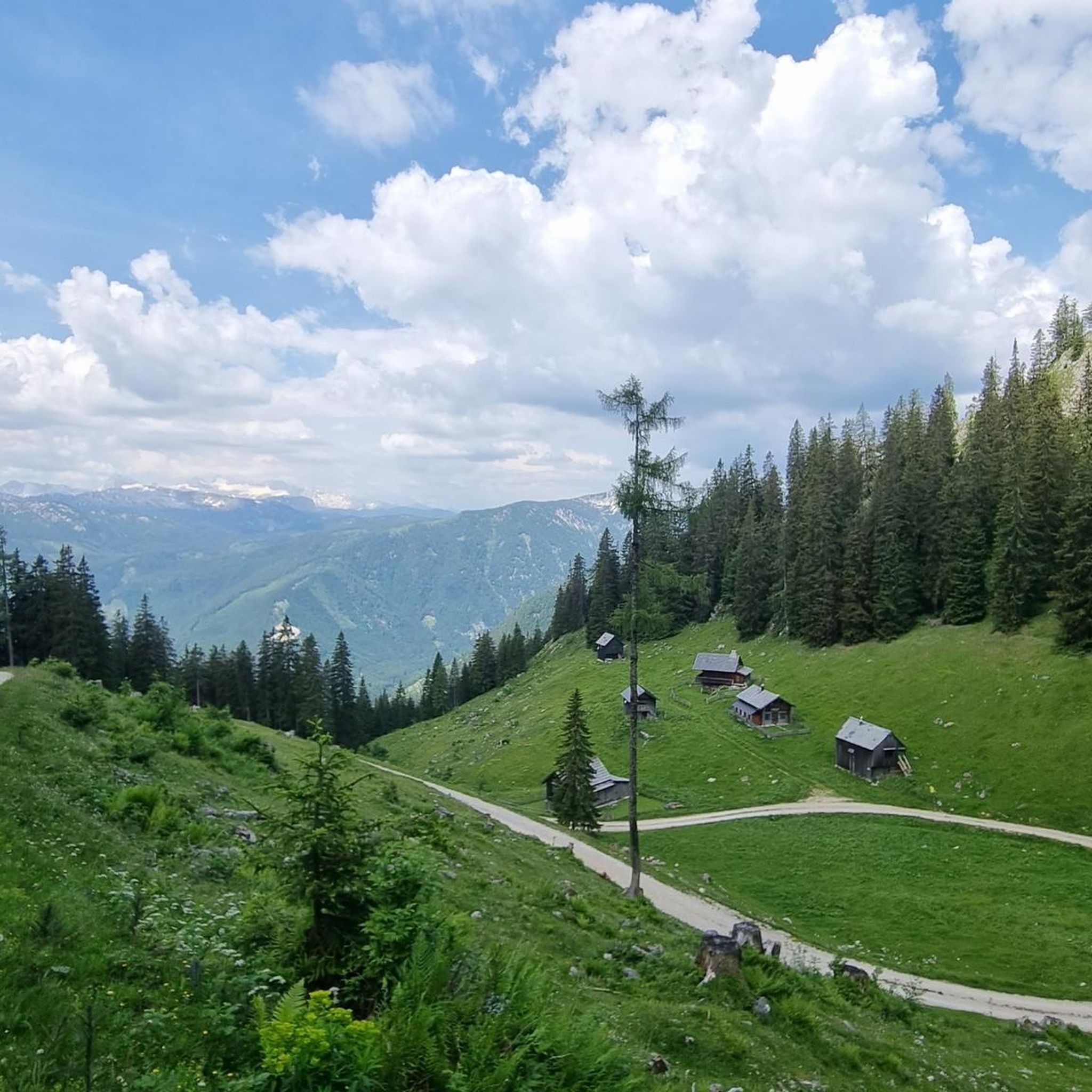
Mountaineering in Hochleitenwald offers routes through the hilly landscape of the Weinviertel region, characterized by both intensively managed commercial forest and near-natural mixed forest. The terrain features beautiful forest edge zones that provide expansive views over gentle hills. Notable high points like the Mühlradsberg or Mühlratzberg are accessible via several scenic routes, presenting varied elevation gains for mountaineers.
Best mountaineering routes in Hochleitenwald
- The most popular mountaineering route is Trisselwand Summit – View from Trisselberg loop from Grundlsee, a…
Last updated: October 8, 2026
5.0
(4)
53
hikers
14.8km
06:36
1,020m
1,020m
Hard mountaineering route. Very good fitness required. Sure-footedness, sturdy shoes and alpine experience required.
5
hikers
15.2km
04:10
220m
220m
Moderate mountaineering route. Good fitness required. Mostly accessible paths. Sure-footedness required.

4.7
(3)
33
hikers
15.8km
06:55
1,050m
1,050m
Hard mountaineering route. Very good fitness required. Sure-footedness, sturdy shoes and alpine experience required.
5.0
(1)
6
hikers
9.46km
04:09
520m
520m
Hard mountaineering route. Good fitness required. Sure-footedness, sturdy shoes and alpine experience required.
5.0
(1)
6
hikers
15.9km
04:19
220m
220m
Moderate mountaineering route. Good fitness required. Mostly accessible paths. Sure-footedness required.
Get access to more routes and recommendations from other explorers.
Already have an account?
Our route recommendations are based on thousands of hikes, rides, and runs completed by other people on komoot.
Start today with a free account
Your next adventure awaits.
Tips from the Community

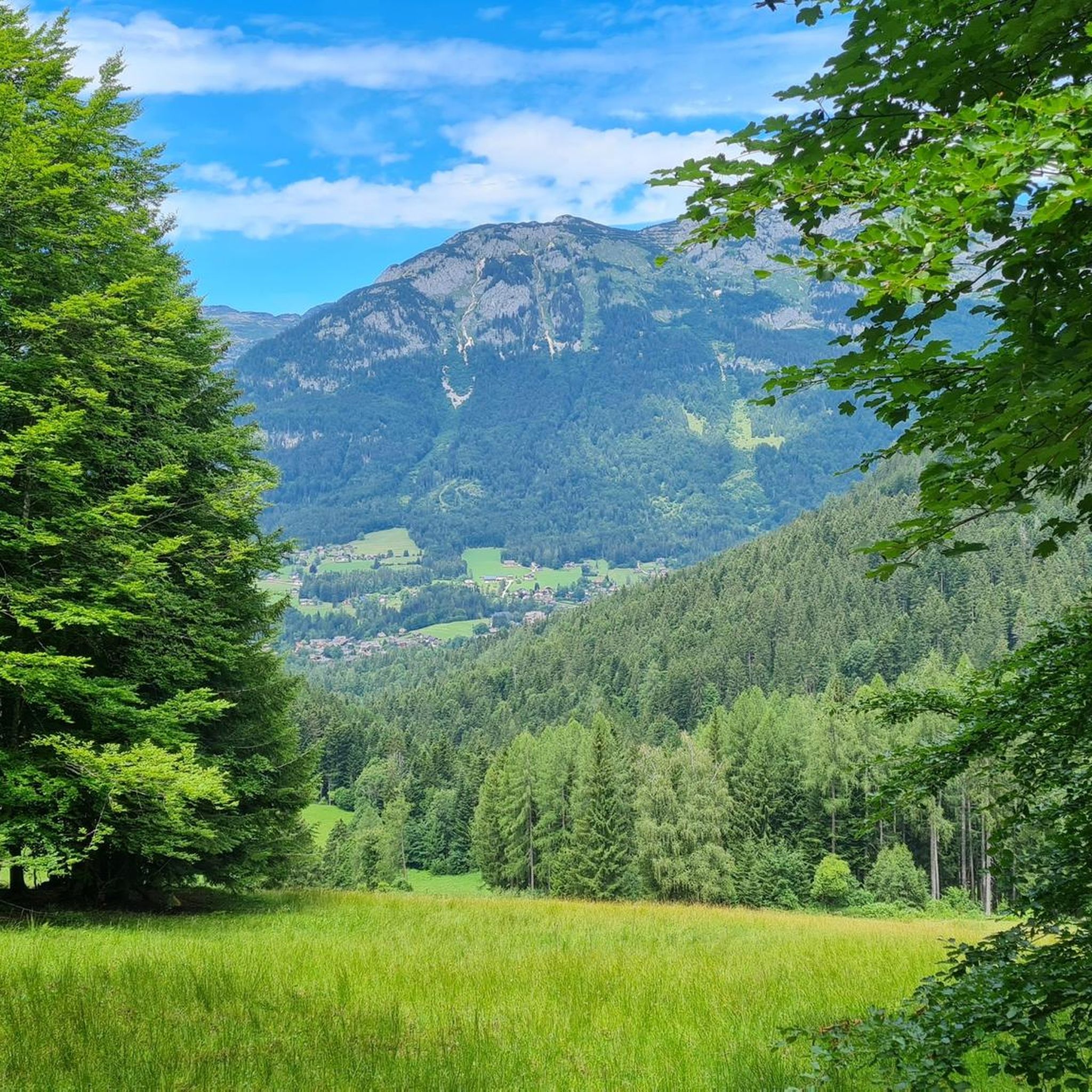
Simply a dreamlike place. And at this time of year, no longer so overcrowded.
0
0

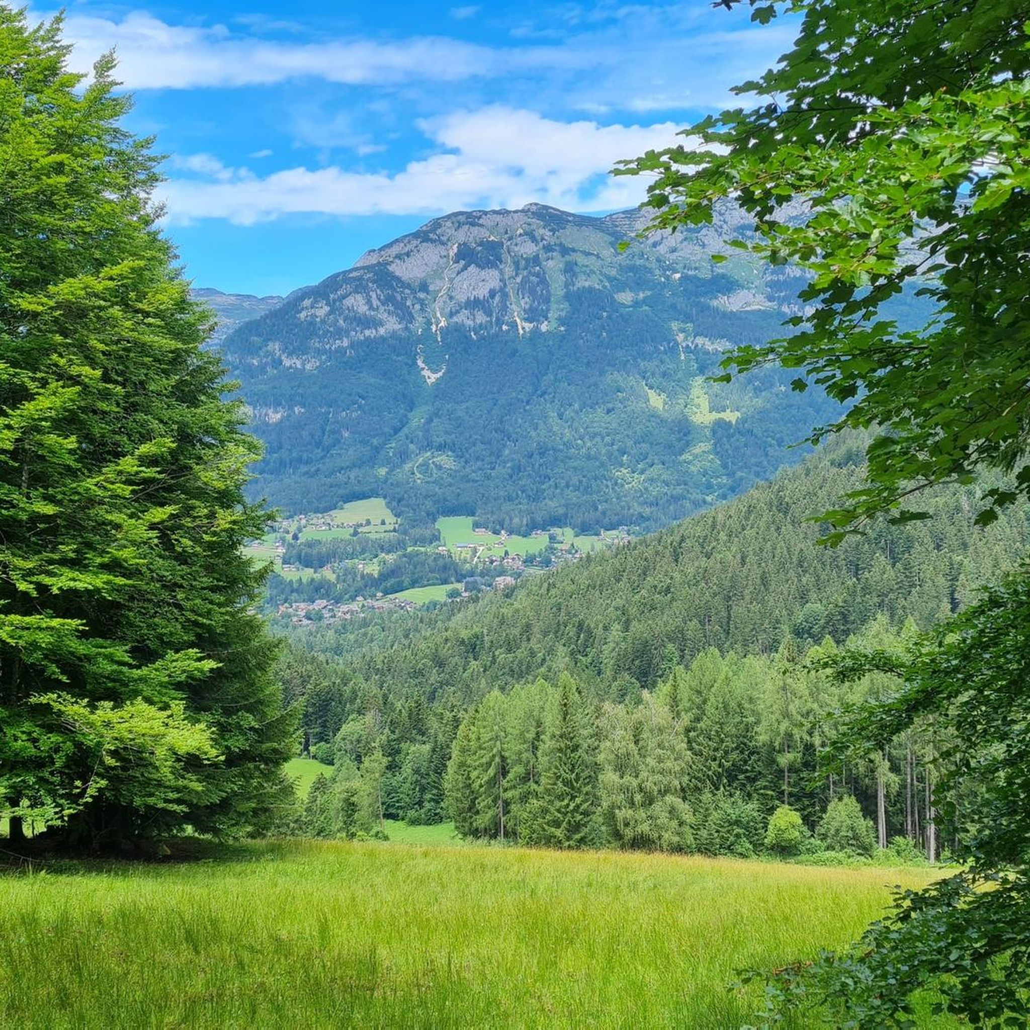
nice, but completely overcrowded
0
0
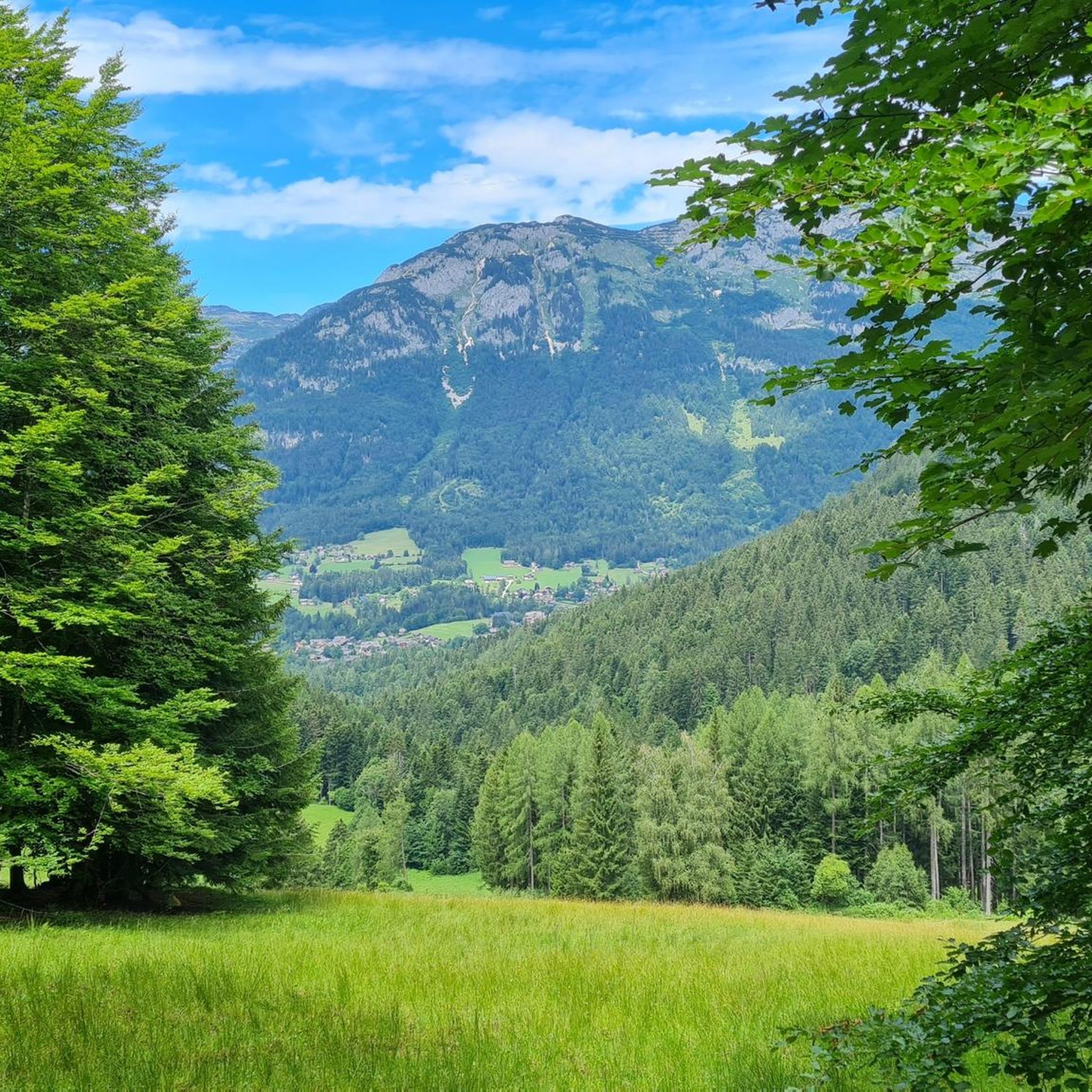
beautiful, but completely overcrowded
0
0
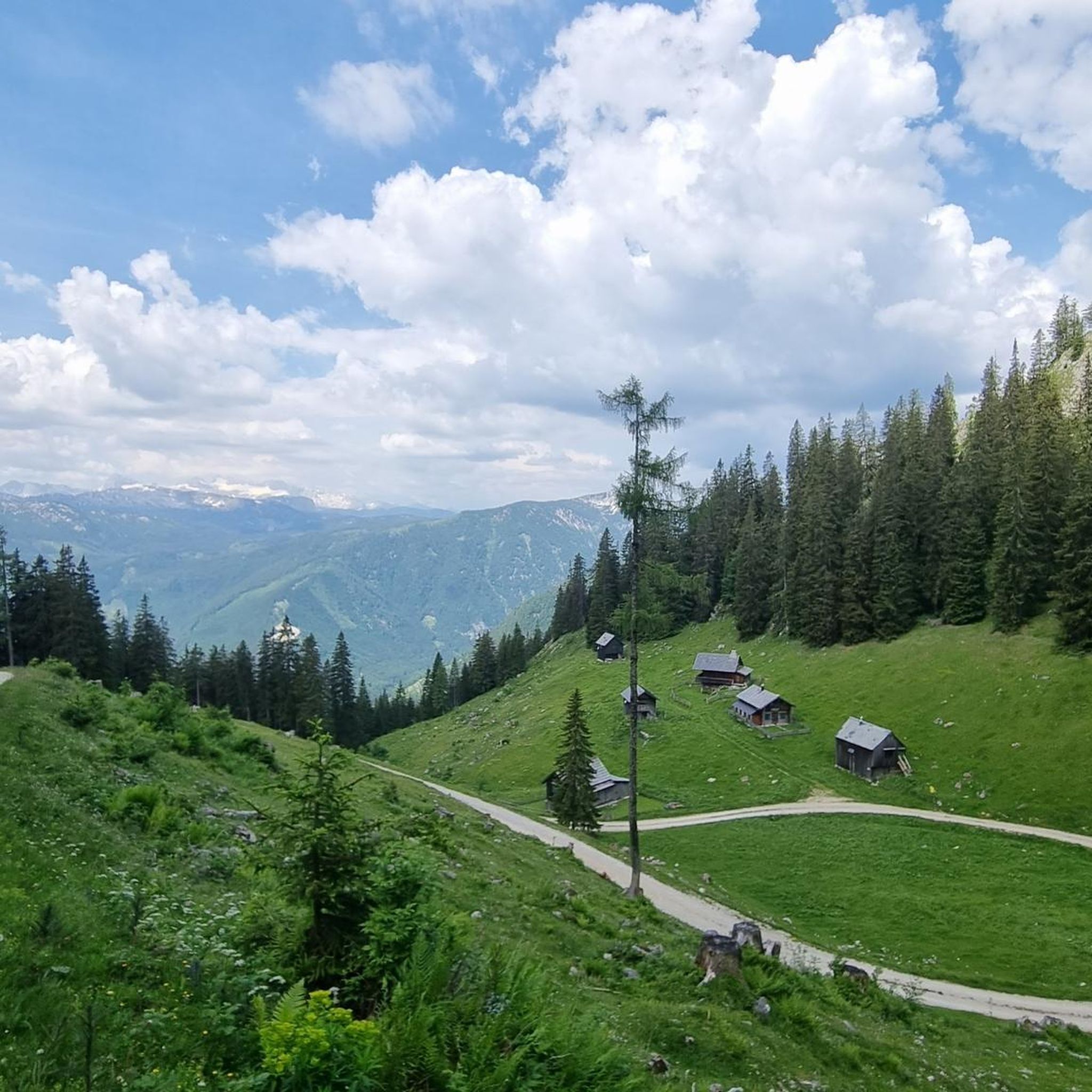
beautiful, but completely overcrowded
0
0

It's actually the "Ressenstüberl" cider tavern – almost always open, serving small dishes and cold drinks, perfect for a stop while circumnavigating Lake Grundlsee!
0
0
Frequently Asked Questions
What types of terrain can I expect on mountaineering routes in Hochleitenwald?
Hochleitenwald features the characteristic hilly landscape of the Weinviertel region. You'll encounter a mix of intensively managed commercial forest and near-natural mixed forest. Many routes offer beautiful forest edge zones with expansive views over the gentle hills. The terrain can vary, with some routes leading to notable high points like the Mühlradsberg or Mühlratzberg.
How many mountaineering routes are available in Hochleitenwald?
There are over 35 mountaineering routes in Hochleitenwald, offering a range of experiences for different skill levels. These include 12 moderate routes and 23 difficult routes.
Are there any family-friendly mountaineering options in Hochleitenwald?
While many mountaineering routes in Hochleitenwald are rated moderate to difficult, requiring good fitness and sure-footedness, some of the moderate trails might be suitable for families with older children who have some hiking experience. For example, the Grundlsee – Grundlsee loop from Grundlsee is a moderate 15.2 km path that offers a more accessible experience through varied forest and lakeside scenery.
What is the best time of year to go mountaineering in Hochleitenwald?
The Weinviertel region, including Hochleitenwald, is generally pleasant for outdoor activities from spring through autumn. During these seasons, you can best enjoy the varied forest and hilly landscapes. Winter mountaineering would require specific preparation and awareness of conditions, as some trails might be challenging due to snow or ice.
Are there any circular mountaineering routes in Hochleitenwald?
Yes, many of the mountaineering routes in Hochleitenwald are designed as loops, allowing you to start and end at the same point. An example of a challenging circular route is the Trisselwand Summit – View from Trisselberg loop from Grundlsee, which is 14.8 km long and offers panoramic views.
What kind of wildlife might I encounter in Hochleitenwald?
Hochleitenwald is known for its considerable wild boar population, which attentive visitors might notice. The beautiful forest edge zones also provide opportunities to observe interesting animal and plant life in the near-natural mixed forest areas.
Are there any routes that feature waterfalls?
Yes, there is a moderate mountaineering route that includes a waterfall. Consider the Waterfall Near Zimitzalm – Zimitzalm loop from Grundlsee, a 7.3 km trail that takes you past a scenic waterfall.
What are the difficulty levels for mountaineering routes in Hochleitenwald?
Mountaineering routes in Hochleitenwald are categorized by difficulty, aligning with the Swiss Alpine Club (SAC) Hiking Scale. You'll find moderate trails (SAC 2-3) that require good fitness and sure-footedness, and hard trails (SAC 4-6) that demand very good fitness, sturdy shoes, and alpine experience. There are 12 moderate and 23 difficult routes available.
What do other mountaineers say about the routes in Hochleitenwald?
The mountaineering routes in Hochleitenwald are highly rated by the komoot community, with an average score of 4.7 stars from over 100 reviews. Many users praise the varied terrain, the expansive views from the forest edges, and the challenging yet rewarding ascents to high points.
Are there any historical or cultural landmarks near the mountaineering routes?
Yes, beyond the natural beauty, the area offers cultural and historical attractions. Wolkersdorf Castle, beautifully situated on a pond next to a park, can be a pleasant spot for a break. Additionally, the Iron Cross Paasdorf, an approximately 3-meter high iron cross, stands at a point overlooking the town and symbolizes the region's deep religious roots.
Is there a particularly challenging route for experienced mountaineers?
For experienced mountaineers seeking a significant challenge, the Summit Cross – Backenstein – Backenstein Summit (1,772 m) loop from Grundlsee is a difficult 16.0 km trail. It leads through mountainous terrain with substantial ascents, often taking nearly 7 hours to complete.
Can I find routes with significant elevation gain in Hochleitenwald?
Absolutely. Many of the difficult mountaineering routes in Hochleitenwald feature significant elevation gains. For instance, the Trisselwand Summit – View from Trisselberg loop from Grundlsee involves over 1000 meters of ascent, offering a strenuous workout and rewarding panoramic views.
Most popular routes in Hochleitenwald

Get inspired with the komoot mobile app


Explore more
Browse the best Mountain Hikes & Routes in other regions.
