The best mountain hikes in Lahnwald
4.7
(18)
250
hikers
19
hikes
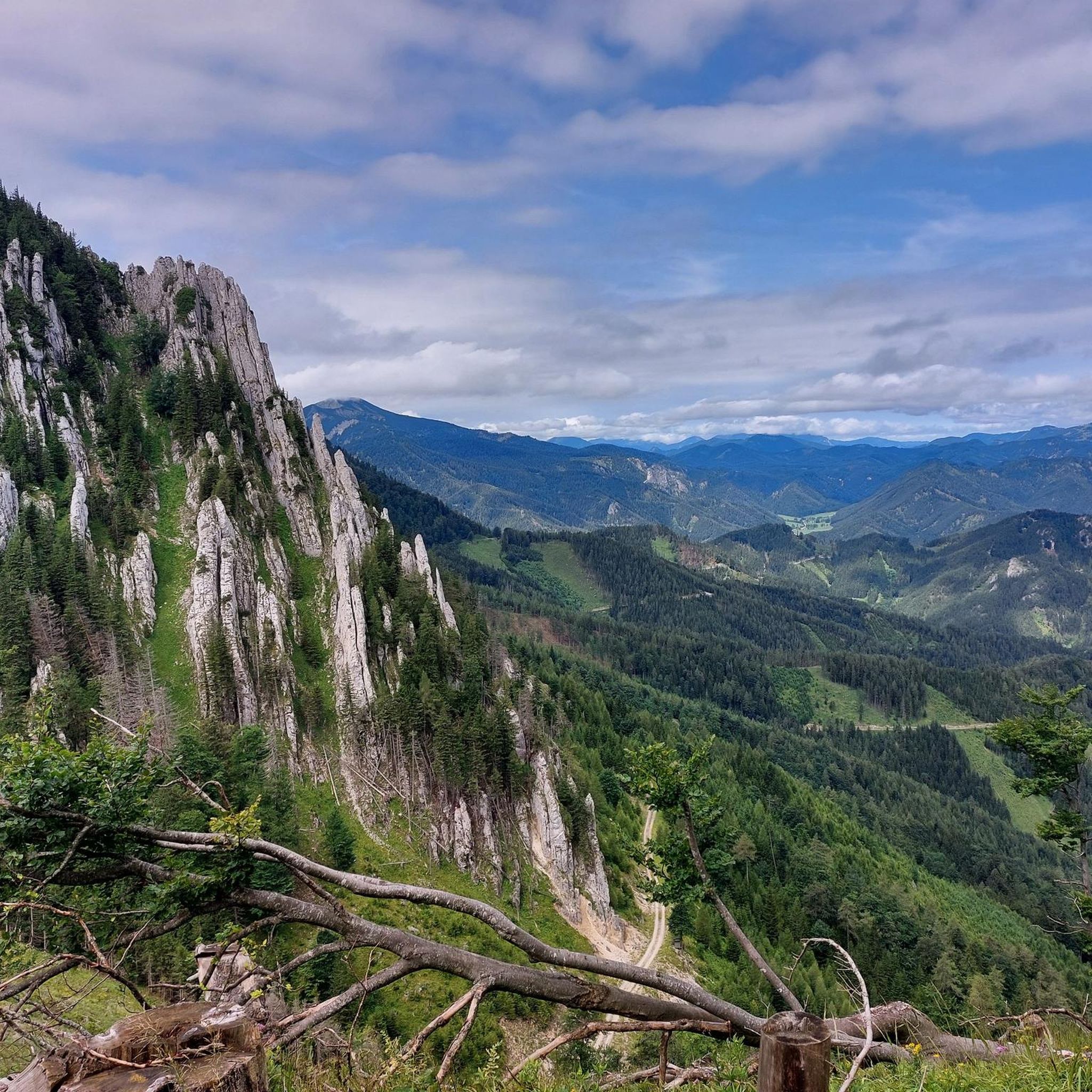
Mountaineering routes in Lahnwald offer challenging ascents across a landscape characterized by prominent mountain ridges, forested slopes, and high summits. The region features peaks such as Gippel (1669 m), Großer Sonnleitstein (1639 m), and Gamseck Summit (1857 m). These routes often involve significant elevation gain, providing a robust experience for mountaineers.
Best mountaineering routes in Lahnwald
- The most popular mountaineering route is Gippelmauer Ridge – Gippel (1669 m) loop from Preintal, a 10.3 miles (16.7 km) trail that takes…
Last updated: July 5, 2026
6
hikers
16.7km
06:22
960m
960m
Hard mountaineering route. Very good fitness required. Sure-footedness, sturdy shoes and alpine experience required.
15
hikers
12.6km
05:36
990m
990m
Hard mountaineering route. Very good fitness required. Sure-footedness, sturdy shoes and alpine experience required.

Sign up for free
5.0
(4)
50
hikers
15.4km
06:20
1,080m
1,080m
Hard mountaineering route. Very good fitness required. Sure-footedness, sturdy shoes and alpine experience required.
5.0
(1)
29
hikers
10.7km
04:29
870m
870m
Moderate mountaineering route. Good fitness required. Mostly accessible paths. Sure-footedness required.
5.0
(3)
20
hikers
15.1km
07:10
1,170m
1,170m
Hard mountaineering route. Very good fitness required. Sure-footedness, sturdy shoes and alpine experience required.
Get access to more routes and recommendations from other explorers.
Sign up for free
Already have an account?
Our route recommendations are based on thousands of hikes, rides, and runs completed by other people on komoot.
Start today with a free account
Your next adventure awaits.
Login or Signup
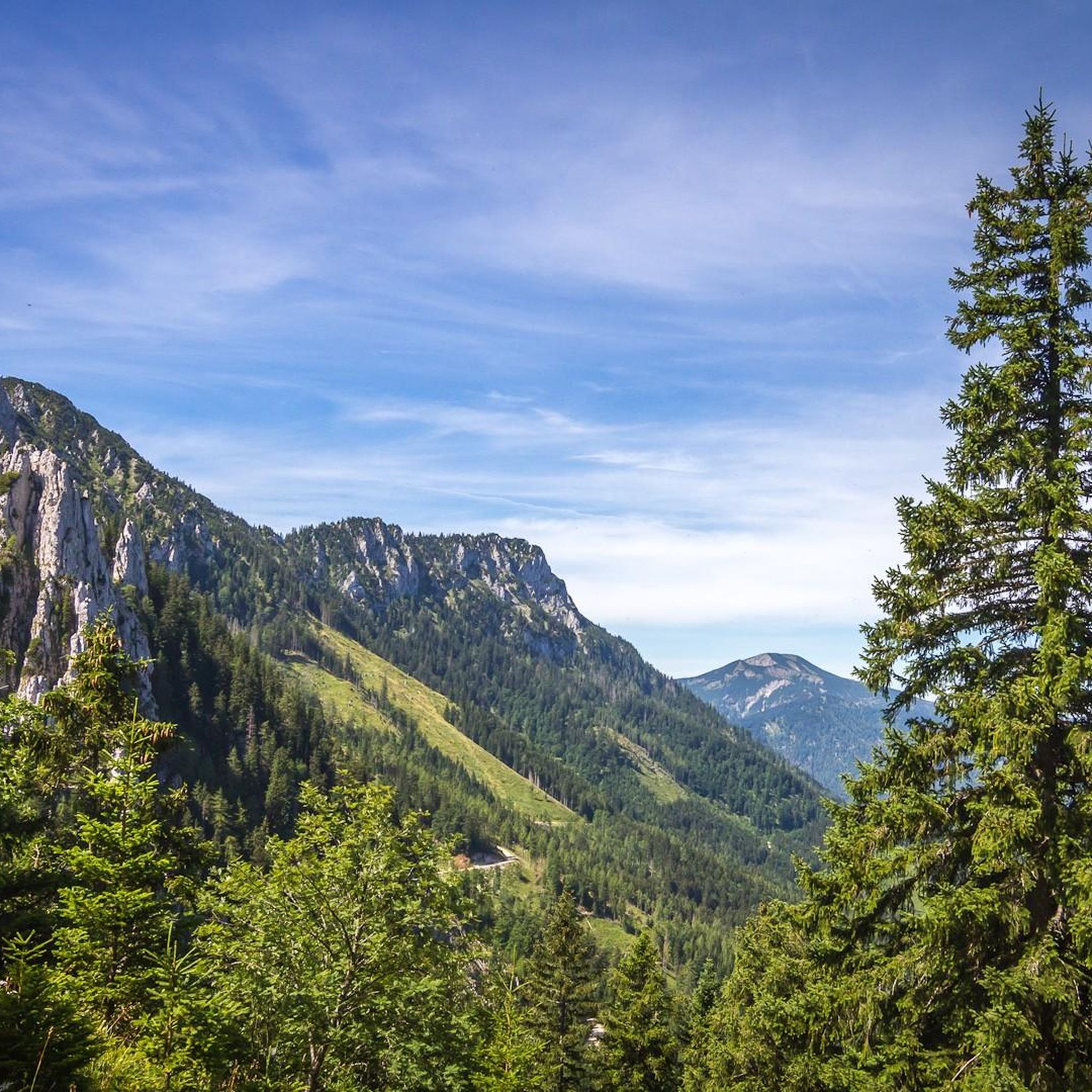
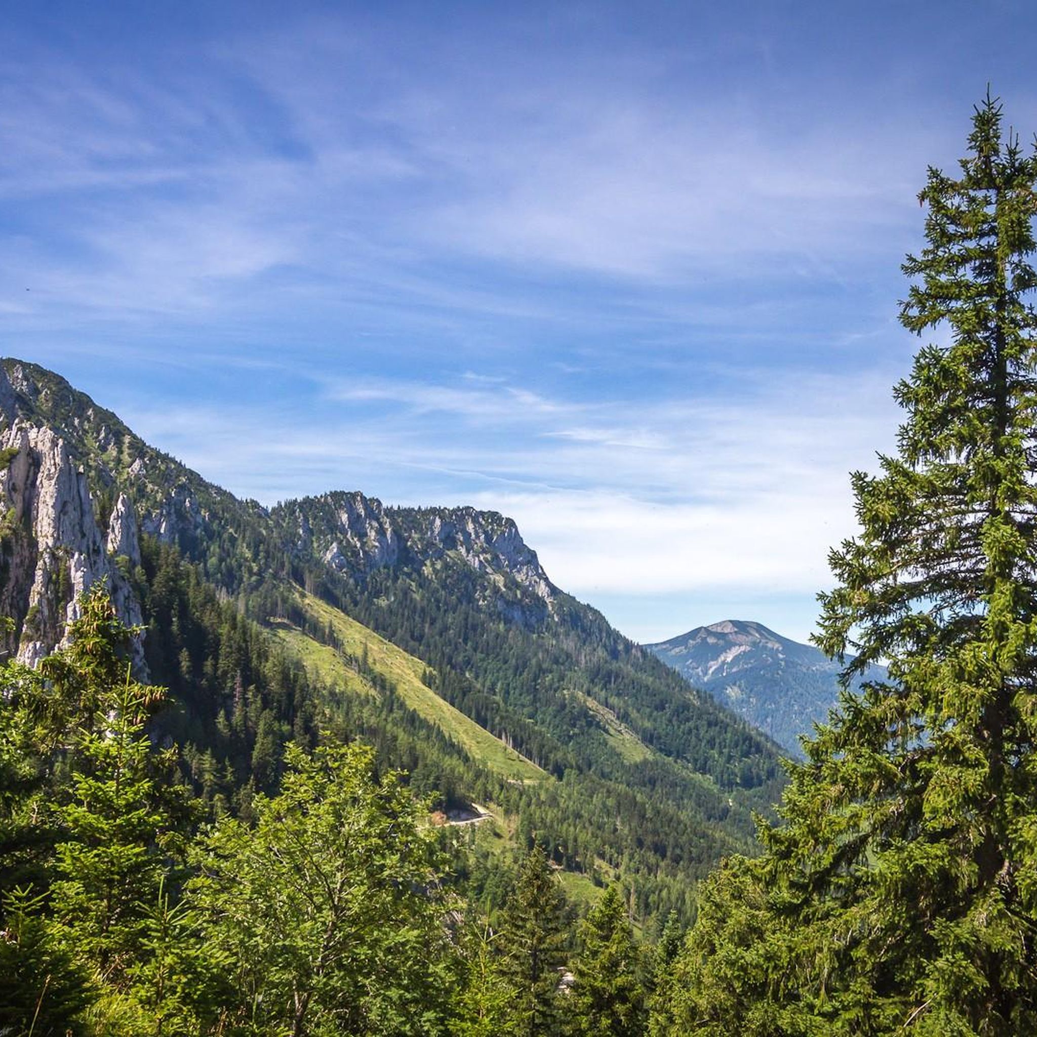
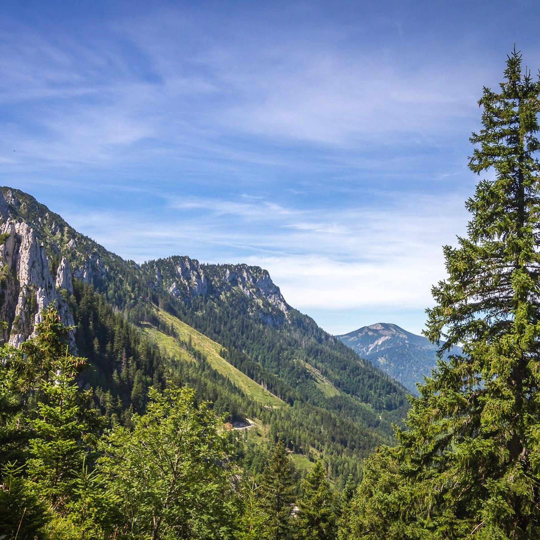
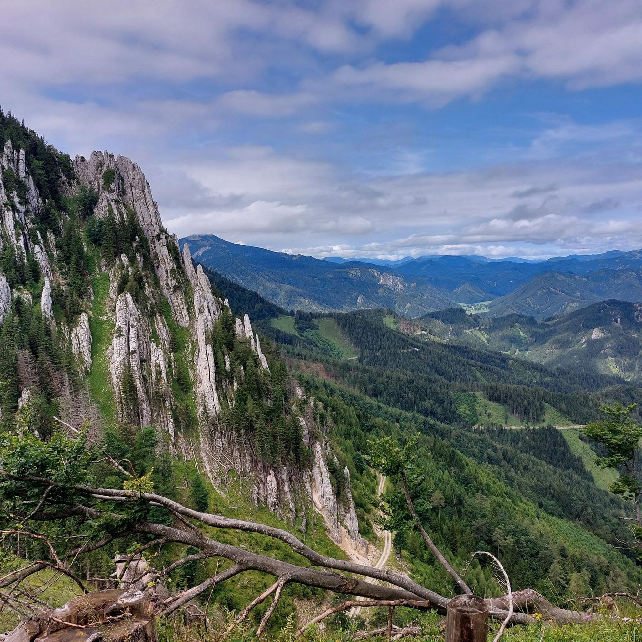
Tips from the Community

The Gamseck (2,037 m) is one of the most striking and alpine peaks of the Rax and impresses with its steep rock faces and exposed character. The ascent is usually via challenging climbs like the Gamsecksteig and requires sure-footedness, a head for heights, and good fitness. At the summit, a magnificent panoramic view over the Rax massif and the surrounding Vienna Alps awaits – a real highlight for experienced mountaineers.
3
0
The Habsburghaus is a historic and managed mountain hut of the Austrian Alpine Club at 1,785 m on the Grieskogel in the Rax, Vienna Alps, often called the “Acropolis of the Rax” due to its exposed location. From here, a wide view opens up over the surrounding peaks and plateaus, and it is a popular destination and resting point for mountain hikers and via ferrata tours of various difficulty levels. The hut offers regional cuisine, cozy lounges, and overnight accommodation in multi-bed rooms and dormitories – access is exclusively on foot via marked trails or from the Rax cable car.
5
0

Detour to the summit when descending the Heukuppe in the direction of Altenbergersteig.
0
0

super guided alpine hut with delicious juice offers
0
0

We walked the Franz Jonas Steig on 05.04.2026 and had quite bad conditions. The path is not particularly well marked in the upper part and is difficult to see, especially due to the (still) lying snow (partially up to 50cm). The snow cover is also very slushy/mushy at the moment - so the whole thing is just very slippery. Everything up to the Betriegel was no problem, but the section up to the Sonnleitstein was then freestyle on the ridge - We were lucky that someone had tracked. But the person in front also got lost a few times. Therefore: Definitely not a beginner tour for early spring.
0
0

A beautiful trail from the north side of the Gippel up to the summit – with constant views of the Gippelwand and Ötscher mountains and far-reaching vistas down into the Traisen Valley! A pleasure even in winter, and probably the cooler ascent option in summer 👍
0
0

Parking is free. Hiking trails to the Rax, Schneealpe and Sonnleitstein mountains are possible.
0
1

Frequently Asked Questions
What are the typical difficulty levels for mountaineering routes in Lahnwald?
Mountaineering in Lahnwald primarily offers routes for experienced individuals. The majority of the 19 available routes are classified as difficult, with a few options rated as moderate. There are no easy mountaineering routes in this region, emphasizing the challenging nature of the terrain.
Are there any beginner-friendly mountaineering routes in Lahnwald?
Lahnwald's mountaineering routes are generally geared towards experienced individuals. There are no routes specifically classified as 'easy' for mountaineering. However, if you have some prior experience, you might consider one of the moderate routes, such as the Großer Sonnleitstein (1,639 m) – Amaiswies (1215 m) loop from Hinternaßwald, which still involves significant elevation gain.
What is the best time of year for mountaineering in Lahnwald?
The best season for mountaineering in Lahnwald is typically from late spring through early autumn, when trails are generally free of snow and ice, and weather conditions are more stable. Summer offers longer daylight hours and warmer temperatures, while spring and autumn can provide cooler weather and vibrant foliage. Always check local weather forecasts and trail conditions before heading out.
Are there any family-friendly mountaineering options in Lahnwald?
Given the challenging nature of Lahnwald's mountaineering routes, which often involve significant elevation gain and difficult terrain, they are generally not recommended for young children or families seeking leisurely walks. These routes are best suited for experienced mountaineers. For family-friendly outdoor activities, you might explore other types of trails in the broader region.
Can I bring my dog on mountaineering routes in Lahnwald?
While many outdoor areas are dog-friendly, the challenging and often exposed nature of Lahnwald's mountaineering routes means they may not be suitable for all dogs. Factors like steep ascents, rocky sections, and potential wildlife encounters should be considered. Always keep your dog on a leash, carry enough water for both of you, and ensure your dog is fit enough for the strenuous activity. Check specific route regulations for any restrictions.
Where can I find parking and trailheads for mountaineering in Lahnwald?
Many mountaineering routes in Lahnwald start from accessible points such as Preintal, Brandstätterkogel, or Hinternaßwald. For example, the challenging Gamseck Summit (1857 m) – Zahmes Gamseck via ferrata loop begins from Hinternaßwald. Specific parking information is usually available on the individual route pages or local tourism websites.
Are permits required for mountaineering in Lahnwald?
Based on available information, there are no general permits required for mountaineering on the established routes in Lahnwald. However, it's always advisable to check for any specific local regulations or temporary restrictions, especially if you plan to access private land or protected areas. Respect local guidelines and leave no trace.
What essential gear should I pack for mountaineering in Lahnwald?
For mountaineering in Lahnwald, you should pack essential gear including sturdy hiking boots, appropriate layers of clothing for varying weather conditions, a waterproof jacket, sufficient water and snacks, a first-aid kit, a map and compass or GPS device, and sun protection. Given the challenging terrain, trekking poles can also be very helpful. For routes involving via ferratas, specialized climbing gear may be necessary.
What do other mountaineers enjoy most about Lahnwald?
The mountaineering routes in Lahnwald are highly rated by the komoot community, with an average score of 4.7 stars from over 10 reviews. Users frequently praise the region's prominent mountain ridges, challenging summits, and the expansive views offered, particularly along routes like the Gippelmauer Ridge – Gippel (1669 m) loop from Preintal.
Are there any circular mountaineering routes in Lahnwald?
Yes, Lahnwald offers several excellent circular mountaineering routes. Popular options include the Gippelmauer Ridge – Gippel (1669 m) loop from Brandstätterkogel, which explores varied mountain terrain, and the Habsburghaus loop from Hinternaßwald, leading through mountainous terrain to a notable mountain hut.
What kind of wildlife might I encounter while mountaineering in Lahnwald?
Lahnwald's diverse landscape of forested slopes and high summits provides habitat for various wildlife. While mountaineering, you might spot chamois or ibex in higher, rocky areas, and deer or various bird species in the forested sections. Keep a respectful distance and avoid disturbing their natural environment.
Are there any notable geological features along the mountaineering routes?
The Lahnwald region is characterized by prominent mountain ridges and high summits, indicating significant geological activity over millennia. Routes often traverse rocky outcrops and offer views of dramatic rock formations. The presence of peaks like Gippel and Großer Sonnleitstein highlights the region's rugged and ancient geological structure, providing a visually striking backdrop to your mountaineering experience.

Get inspired with the komoot mobile app


Explore more
Browse the best Mountain Hikes & Routes in other regions.
