The best walks and hikes in Lahnwald
4.7
(408)
3,218
hikers
94
hikes
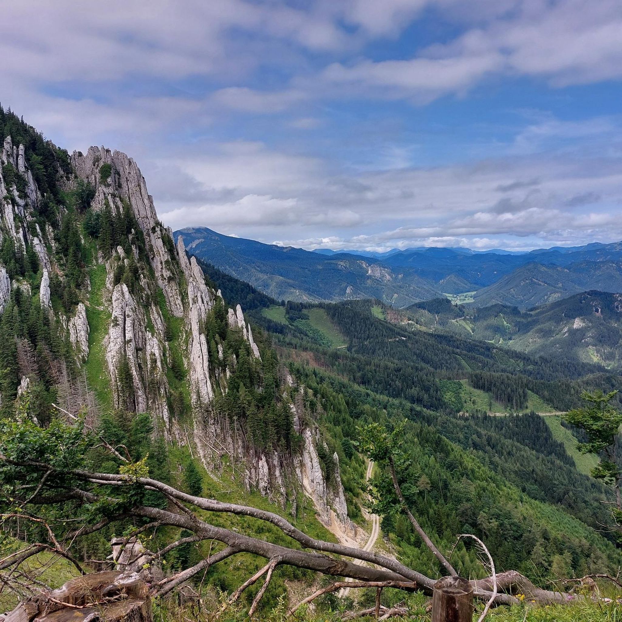
Hiking in Lahnwald, located in Bezirk Neunkirchen, Austria, offers a diverse landscape characterized by forested hills and valleys. The region features varied terrain, including areas with summits that require alpine experience, providing a range of hiking opportunities. Trails navigate through natural environments, with some routes leading to prominent viewpoints. The area's geology contributes to its distinct natural features, making it suitable for different levels of outdoor activity.
Best hiking trails in Lahnwald
- The most popular hiking route is Gippel Summit Cross – Gippel Summit Cross loop from Preintal, a 10.6 miles (17.1 km) difficult trail that takes 6 hours 33 minutes to complete. This route features significant elevation gain and leads to a prominent summit cross.
- Another top favourite among local hikers is Obersberg Summit – Waldfreundhütte Obersberg loop from Preintal, a difficult 10.0 miles (16.2 km) path. This trail ascends to the Obersberg Summit, offering views of the surrounding forested landscape.
- Local hikers also love the Waldfreundhütte Obersberg – Obersberg Summit loop from Eckbauer, a 6.9 miles (11.1 km) trail leading through hilly forests, often completed in about 3 hours 59 minutes.
- Hiking in Lahnwald is defined by forested hills, alpine-like ascents, and scenic viewpoints. The network offers options for various ability levels, from moderate forest walks to challenging summit routes.
- The routes in Lahnwald are highly rated by the komoot community with an average score of 4.8 stars from over 400 reviews. More than 3000 hikers have used komoot to explore Lahnwald's varied terrain.
Last updated: July 2, 2026
4.8
(4)
29
hikers
16.7km
06:22
960m
960m
Hard hike. Very good fitness required. Sure-footedness, sturdy shoes and alpine experience required.
5.0
(1)
8
hikers
16.2km
05:36
860m
860m
Hard hike. Very good fitness required. Mostly accessible paths. Sure-footedness required.

Sign up for free
5.0
(1)
19
hikers
11.1km
03:59
650m
650m
Moderate hike. Good fitness required. Easily-accessible paths. Suitable for all skill levels.
5
hikers
27.4km
07:58
670m
670m
Hard hike. Very good fitness required. Easily-accessible paths. Suitable for all skill levels.
5.0
(25)
203
hikers
12.0km
04:58
930m
930m
Hard hike. Very good fitness required. Mostly accessible paths. Sure-footedness required.
Get access to more routes and recommendations from other explorers.
Sign up for free
Already have an account?
Our route recommendations are based on thousands of hikes, rides, and runs completed by other people on komoot.
Start today with a free account
Your next adventure awaits.
Login or Signup
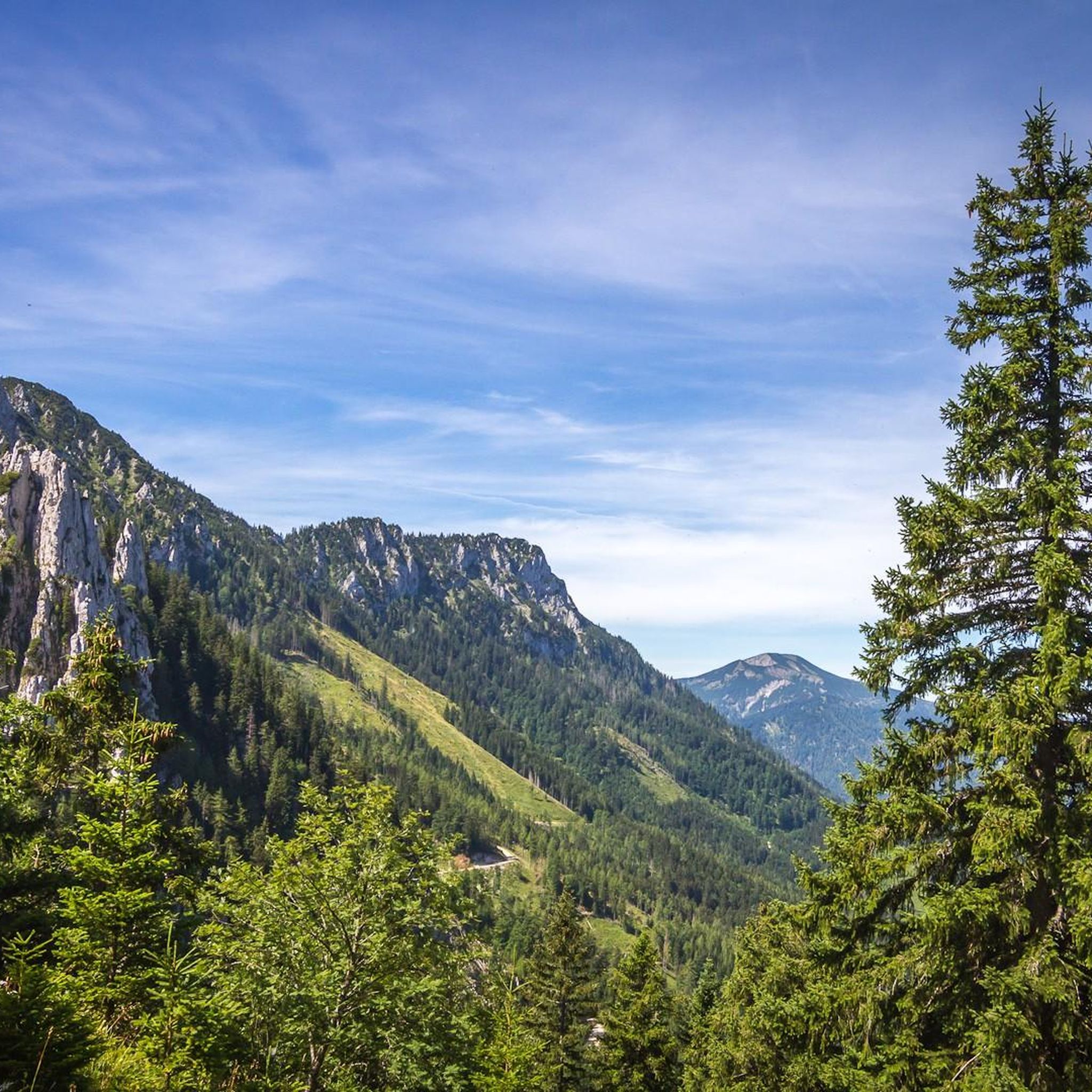
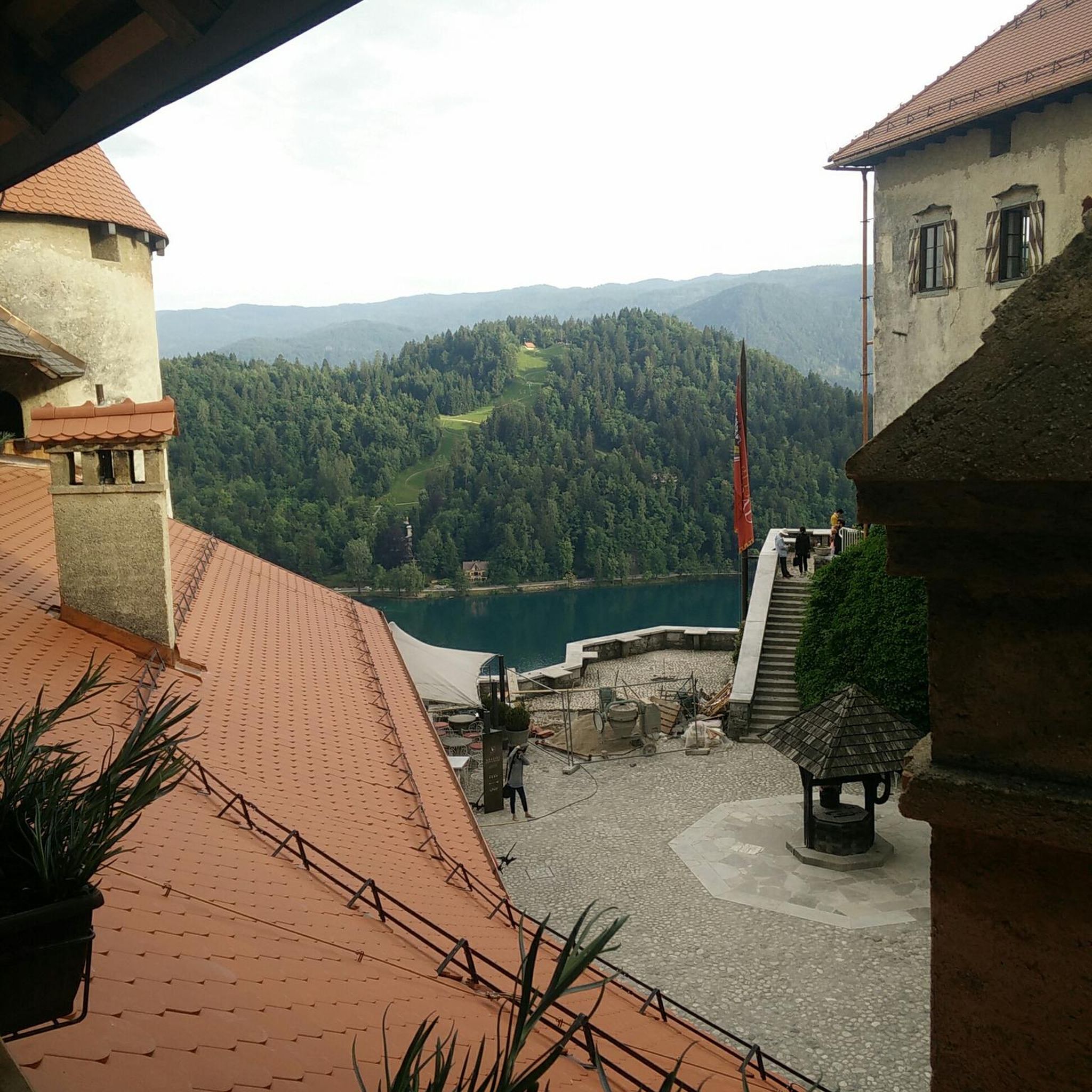
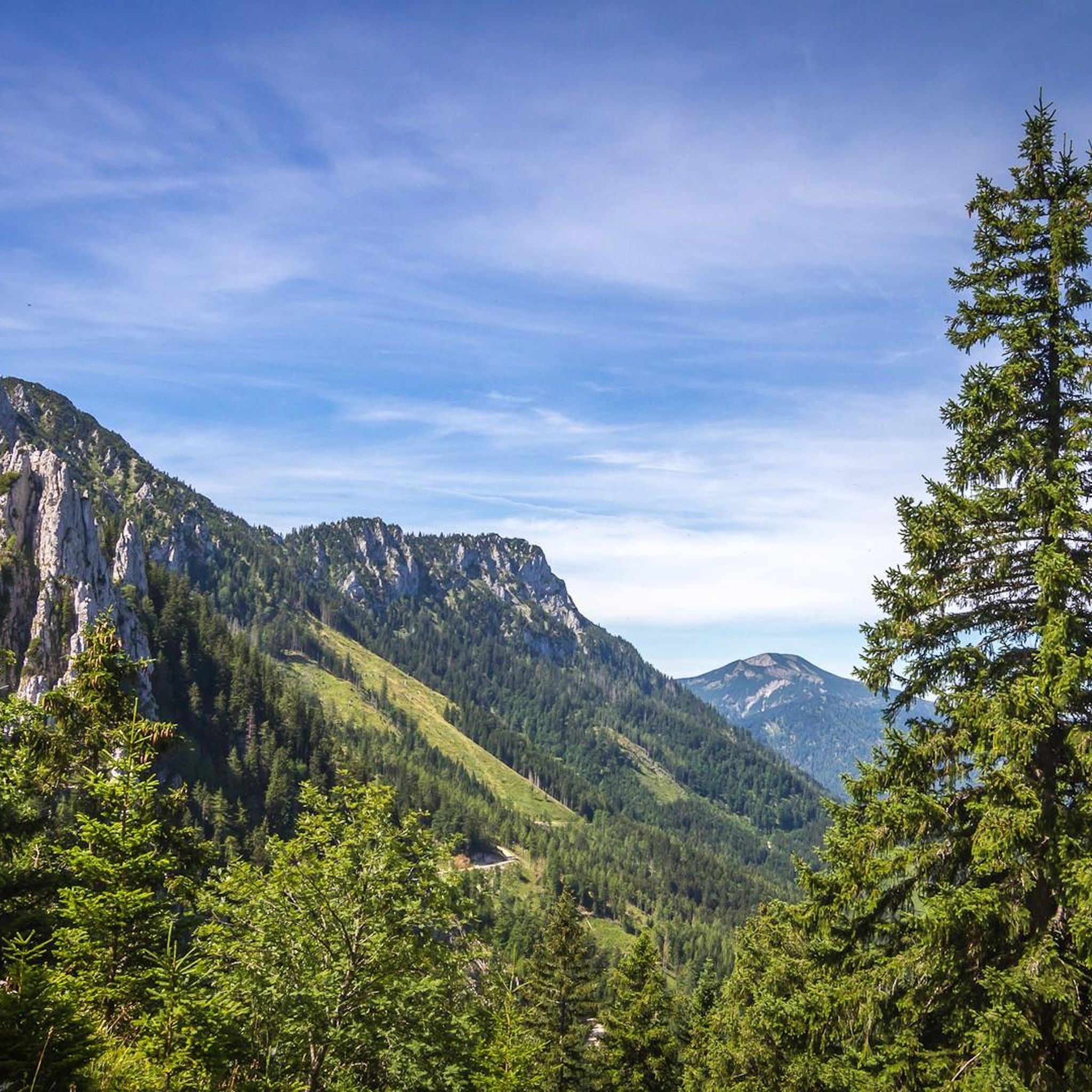
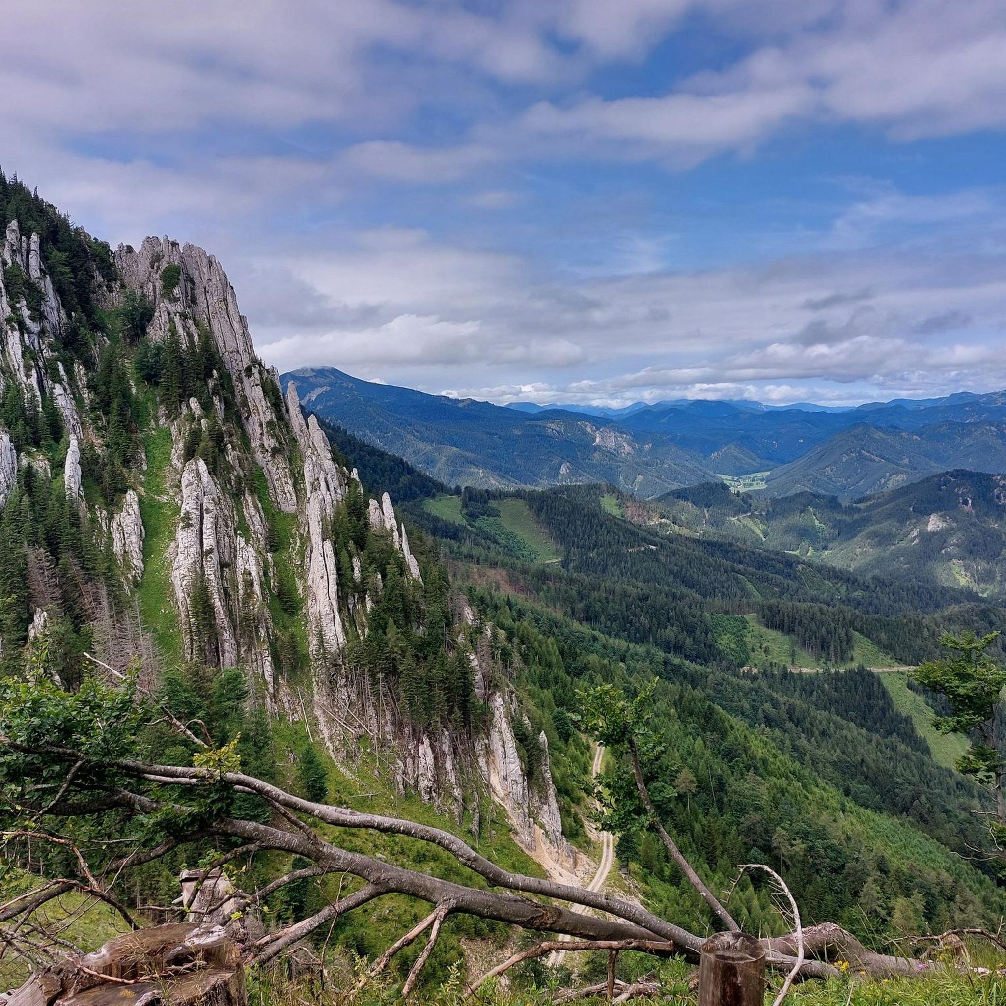
Tips from the Community

super guided alpine hut with delicious juice offers
0
0
beautiful view to the north
0
0
Here the path splits east to Ahornberg and west to Gippel
0
0
beautiful view of the Alpine foothills
0
0

A beautiful trail from the north side of the Gippel up to the summit – with constant views of the Gippelwand and Ötscher mountains and far-reaching vistas down into the Traisen Valley! A pleasure even in winter, and probably the cooler ascent option in summer 👍
0
0
The section of the path from the Preineck saddle down towards Zögernitz doesn't seem to be used or maintained very often; in any case, the path was more reminiscent of an abandoned hunter's trail – just the thing if you like it wild and secluded :-)
0
0
Frequently Asked Questions
How many hiking trails are available in Lahnwald?
Lahnwald offers a wide range of hiking experiences with nearly 100 distinct trails. These include 23 easy routes, 38 moderate paths, and 35 more challenging hikes, catering to various fitness levels and preferences.
What kind of terrain can I expect when hiking in Lahnwald?
The Lahnwald region is characterized by diverse terrain, including forested hills and valleys. You'll find everything from gently rolling hills to areas with summits that require alpine experience. Some routes feature rugged rocks and offer exciting views, while others navigate through tranquil woodlands.
What are the general difficulty levels of hikes in Lahnwald?
Hiking trails in Lahnwald range from easy walks suitable for beginners to hard routes demanding very good fitness and alpine experience. Easy trails might be up to 2 hours with minimal elevation, while moderate routes can extend to 5 hours with significant elevation gain. Difficult trails often exceed 5 hours, involve over 3,000 feet of elevation, and require sure-footedness and sturdy footwear.
What do other hikers say about Lahnwald?
The komoot community highly rates Lahnwald, with an average score of 4.8 stars from over 400 reviews. Hikers often praise the varied terrain, the scenic viewpoints, and the well-maintained trails that offer a rewarding outdoor experience for different skill levels.
Are there any family-friendly hiking options in Lahnwald?
Yes, Lahnwald offers 23 easy routes that are generally suitable for families. These trails typically involve less elevation gain and shorter distances, providing a pleasant way to explore the natural beauty of the region with children. Look for routes described as 'easy' for the most family-friendly experiences.
Can I bring my dog on the trails in Lahnwald?
Generally, dogs are welcome on hiking trails in Lahnwald. However, it's always recommended to keep your dog on a leash, especially in forested areas, near wildlife, or when passing other hikers. Please ensure you clean up after your pet to maintain the natural environment for everyone.
Are there circular hiking routes in Lahnwald?
Many of the trails in Lahnwald are designed as circular routes, allowing you to start and end at the same point without retracing your steps. An example of a challenging circular route is the Gippel Summit Cross – Gippel Summit Cross loop from Brandstätterkogel, which offers a full immersion in the region's landscapes.
What natural attractions or viewpoints can I discover while hiking in Lahnwald?
Lahnwald and its surroundings boast several natural attractions and viewpoints. You might encounter the wild and romantic Holzbachschlucht gorge, or rugged rock formations like the Stenzlberg. Many trails lead to prominent viewpoints, such as the Gscheidlhöhe – View of Schneealpe loop from Mitterberg, offering expansive vistas of the alpine surroundings.
Are there any historical sites or landmarks near the hiking trails?
While Lahnwald itself is primarily known for its natural beauty, the wider region features historical landmarks. For instance, the medieval Runkel Castle, guarding a Lahn crossing, is a notable site that adds historical context to the area's charm. Some trails may also pass traditional log cabins, offering a glimpse into local heritage.
What is the best time of year to go hiking in Lahnwald?
The best time to hike in Lahnwald generally depends on your preferred conditions. Spring and autumn offer pleasant temperatures and vibrant scenery, with blooming flowers or colorful foliage. Summer is ideal for longer days and warmer weather, while winter can provide opportunities for snowshoeing or winter hiking, though some higher alpine routes may be inaccessible or require specialized gear.
Are there options for longer, more challenging hikes in Lahnwald?
Absolutely. Lahnwald is home to 35 difficult trails, many of which are long and demanding. For example, the Obersberg Summit – Waldfreundhütte Obersberg loop from Preintal is a challenging 10-mile route with significant elevation gain, perfect for experienced hikers seeking a strenuous adventure.
Is parking available at the trailheads in Lahnwald?
Yes, parking is generally available at common trailheads and starting points for hikes in Lahnwald. It's advisable to check specific route descriptions or local signage for designated parking areas, especially for popular routes, to ensure convenient access to the trails.
How can I reach the hiking trails in Lahnwald by public transport?
While specific public transport options vary by trailhead, Lahnwald is located in Bezirk Neunkirchen, Austria, which has regional bus and train services. It's recommended to research local bus schedules or train connections to nearby towns like Preintal or Mitterberg, which serve as common starting points for many Lahnwald hikes.
Are there any cafes or places to eat near the hiking trails?
Yes, you can often find traditional log cabins or small eateries along or near popular hiking routes in Lahnwald. These provide picturesque spots to rest, enjoy local refreshments, and refuel during your hike. Checking local maps or route details can help identify specific establishments.
Most popular routes in Lahnwald

Get inspired with the komoot mobile app


Explore more
Browse the best Hikes in other regions.
