The best walks and hikes around Castleisland-Corca Dhuibhne
4.5
(1752)
8,627
hikers
168
hikes
Hiking around Castleisland-Corca Dhuibhne, encompassing the Dingle Peninsula in County Kerry, Ireland, offers diverse landscapes. The region is characterized by a spine of folded mountains extending into the Atlantic, featuring wild headlands, dramatic cliffs, and sandy beaches. Inland, the Slieve Mish Mountains provide a rugged backdrop, while areas like the Inch Sand Dunes showcase unique natural habitats. This varied terrain provides a range of hiking experiences from coastal walks to challenging mountain ascents.
Best hiking trails around Castleisland-Corca Dhuibhne
- The most popular hiking route is An Fheothanach Feohanagh to Cloghane on Dingle Trail, a 15.8 miles (25.4 km) trail that takes about 7 hours 49 minutes to complete. This difficult route offers extensive views along the Dingle Peninsula.
- Another top favourite among local hikers is Sauce Creek & Brandon Point loop from Brandon, a moderate 8.5 miles (13.6 km) path. This route explores the coastal scenery and headlands near Brandon.
- Local hikers also love the Mount Brandon on the Pilgrim's Path, a 5.8 miles (9.3 km) trail leading through mountainous terrain, often completed in about 4 hours 47 minutes.
- Hiking around Castleisland-Corca Dhuibhne is defined by coastal paths, mountain ascents to peaks like Mount Brandon, and trails through the Slieve Mish Mountains. The network offers options for different ability levels, from easy strolls to challenging climbs.
- The routes in Castleisland-Corca Dhuibhne are highly rated by the komoot community with an average score of 4.6 stars from over 900 reviews. More than 4000 hikers have used komoot to explore Castleisland-Corca Dhuibhne's varied terrain.
Last updated: July 8, 2026
4.7
(112)
436
hikers
25.4km
07:49
810m
810m
Hard hike. Very good fitness required. Mostly accessible paths. Sure-footedness required.
4.6
(53)
209
hikers
13.6km
04:04
430m
440m
Hike the Sauce Creek & Brandon Point loop from Brandon for moderate coastal views, dramatic cliffs, and varied terrain in County Kerry.

Sign up for free
4.1
(37)
152
hikers
5.74km
01:38
80m
80m
Hike the 3.6-mile (5.7 km) moderate Loch a’ Dúin loop, exploring ancient Bronze Age sites and stunning Dingle Peninsula scenery.
4.8
(36)
243
hikers
9.27km
04:48
740m
740m
Hike Mount Brandon on the Pilgrim's Path, a difficult 5.8-mile route with 2427 feet of elevation gain and panoramic views.
4.7
(40)
189
hikers
7.18km
01:50
30m
30m
The Dingle Lighthouse & Beenbane Beach from Dingle is an easy 4.5-mile hike with coastal paths, beaches, and views of Dingle Bay.
4.3
(39)
121
hikers
7.23km
02:02
140m
140m
Hike the Glanteenassig Woods and Lough Caum Loop, a moderate 4.5-mile (7.2 km) trail through woodlands and past tranquil Lough Caum.
4.8
(38)
128
hikers
15.4km
06:07
870m
880m
Hard hike. Very good fitness required. Mostly accessible paths. Sure-footedness required.
4.7
(13)
105
hikers
2.00km
00:37
70m
70m
Hike the easy Dunmore Head loop from Coumeenoole Beach for dramatic coastal views, historical sites, and a quick 1.2-mile adventure.
4.9
(14)
61
hikers
5.16km
01:25
80m
80m
This easy 3.2-mile (5.2 km) hiking trail on the Dingle Peninsula offers superb cliff-top views of the Irish Atlantic Coast and ancient fossi
5.0
(20)
83
hikers
8.89km
02:36
240m
240m
Hike the Glanageenty - Bernard Brothers Loop, a moderate 5.5-mile trail in Glanageenty Woods with varied terrain and mountain views.
Get access to more routes and recommendations from other explorers.
Sign up for free
Already have an account?
Our route recommendations are based on thousands of hikes, rides, and runs completed by other people on komoot.
Start today with a free account
Your next adventure awaits.
Login or Signup
Popular around Castleisland-Corca Dhuibhne
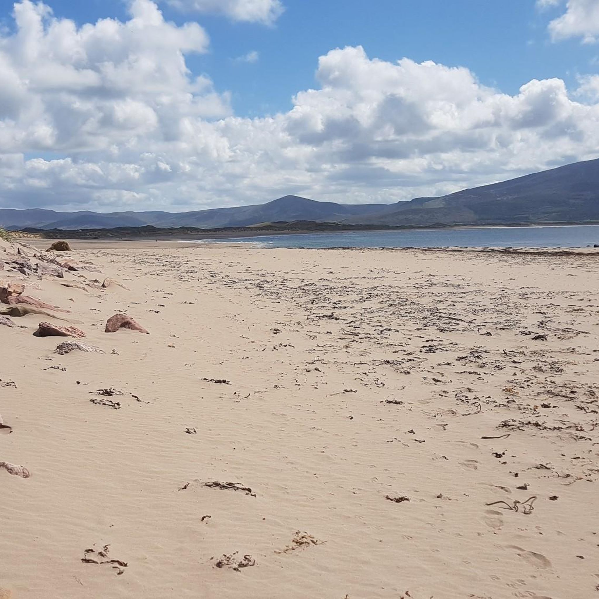
Hiking around Lough Gill
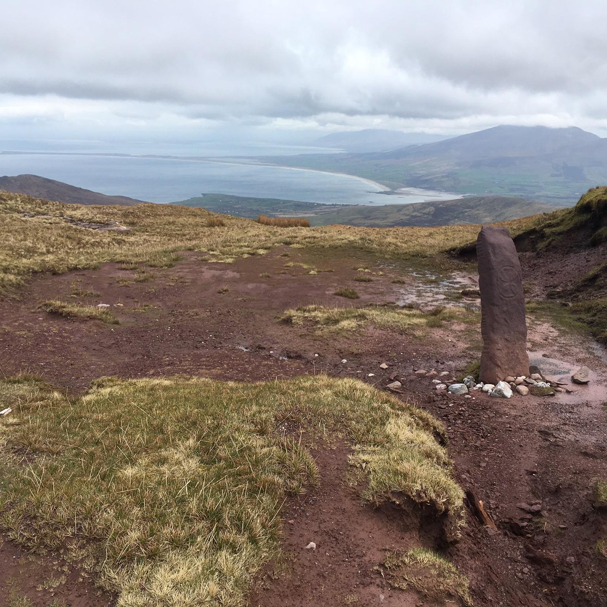
Hiking in Tearmann Dúlra Cnoc Bréanainn / Mount Brandon Nature Reserve

Ireland's blue rivers and lakes – walks along the water

Discover Ireland's past – historical walks on the Emerald Isle
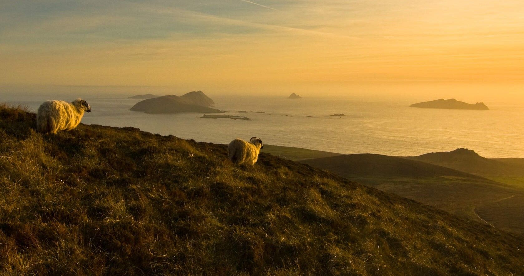
Original Ireland – 8 stages on the Dingle Way
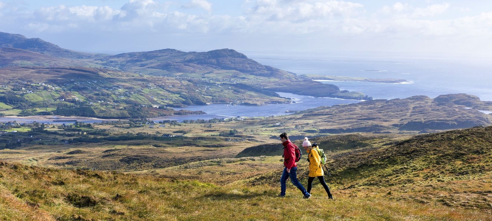
Wild Atlantic Way — day hikes for your road trip along Ireland's coastline
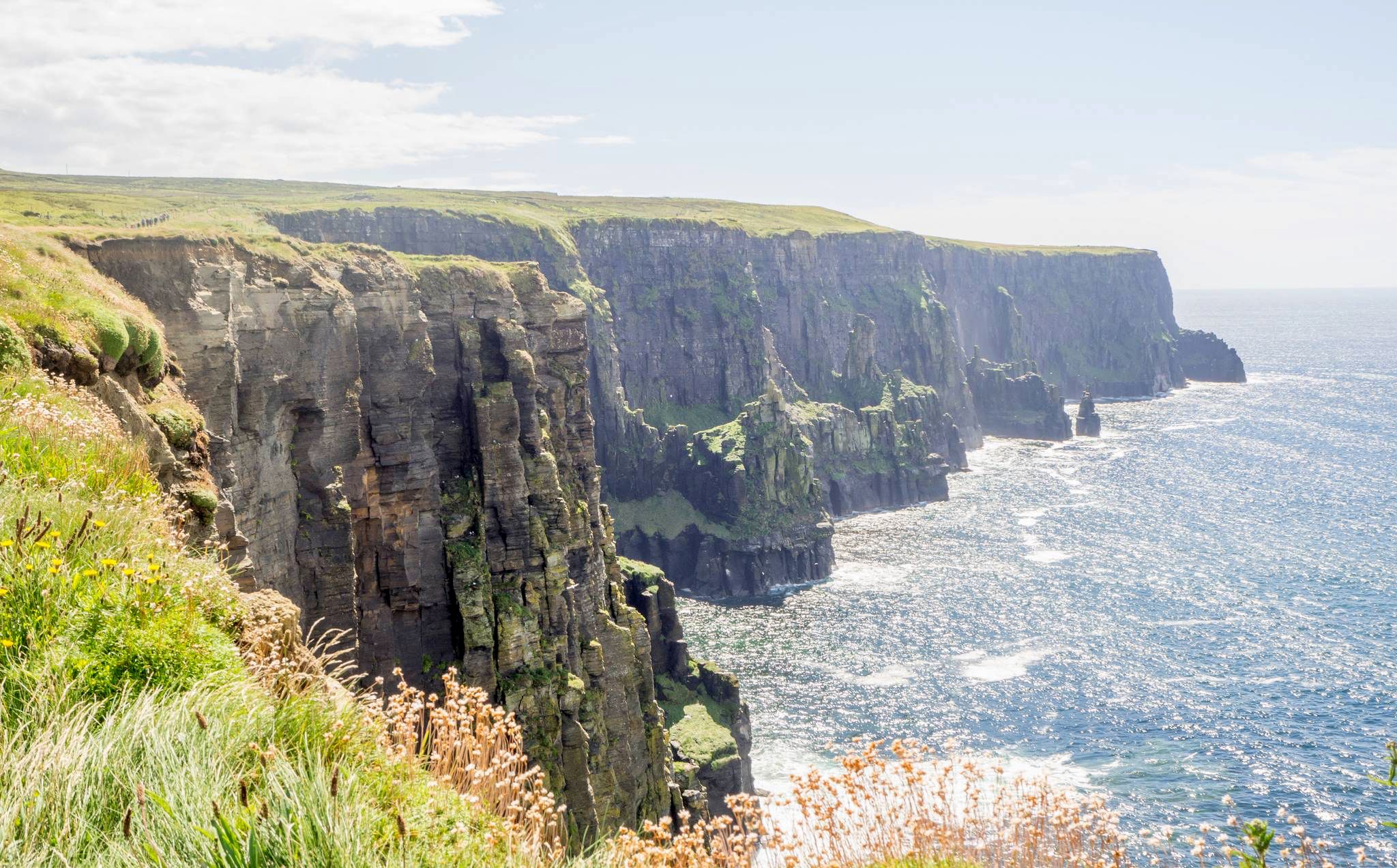
Ireland's wild west
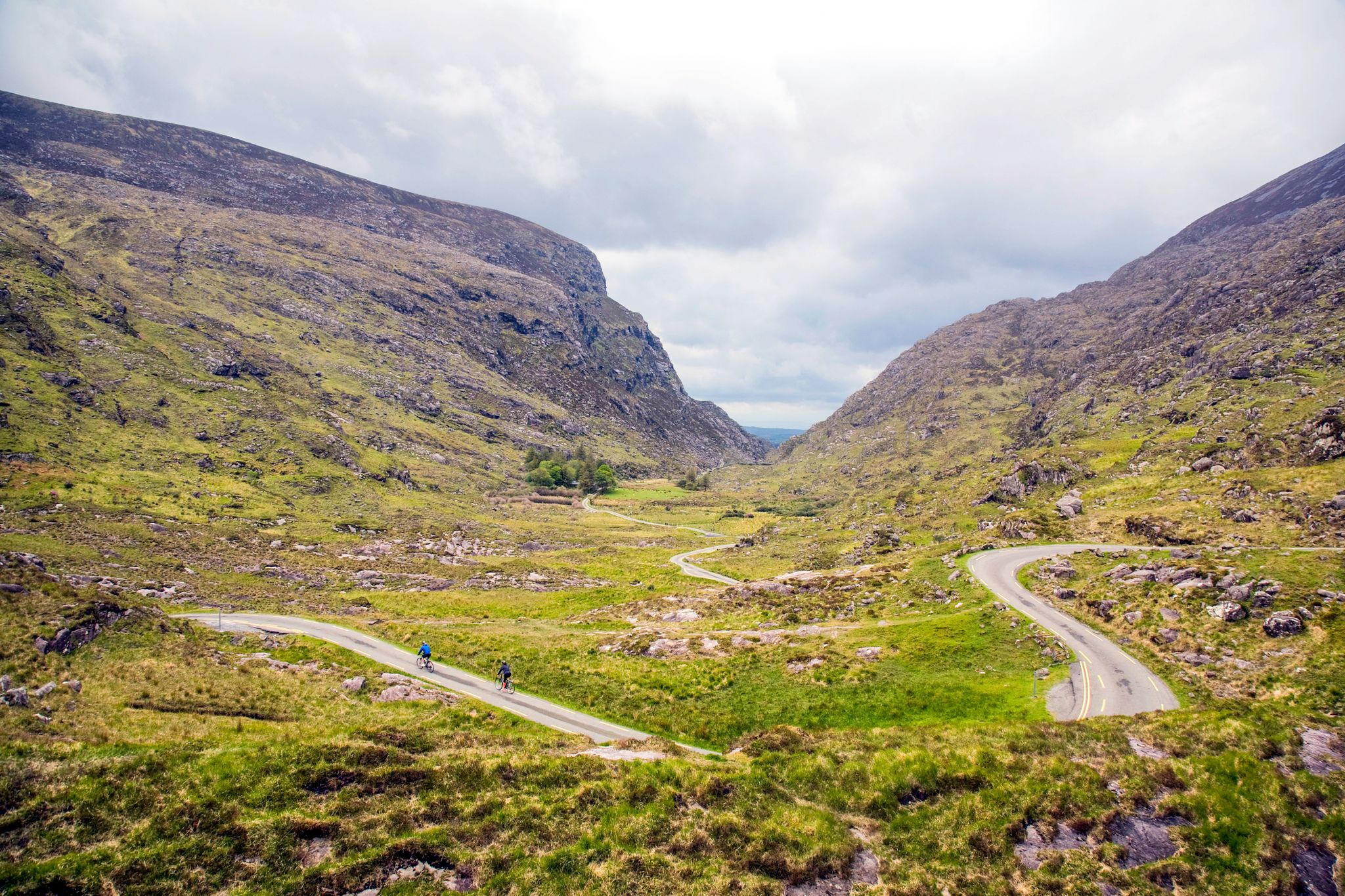
Incomparable Ireland Challenge: Reeks District Big Five
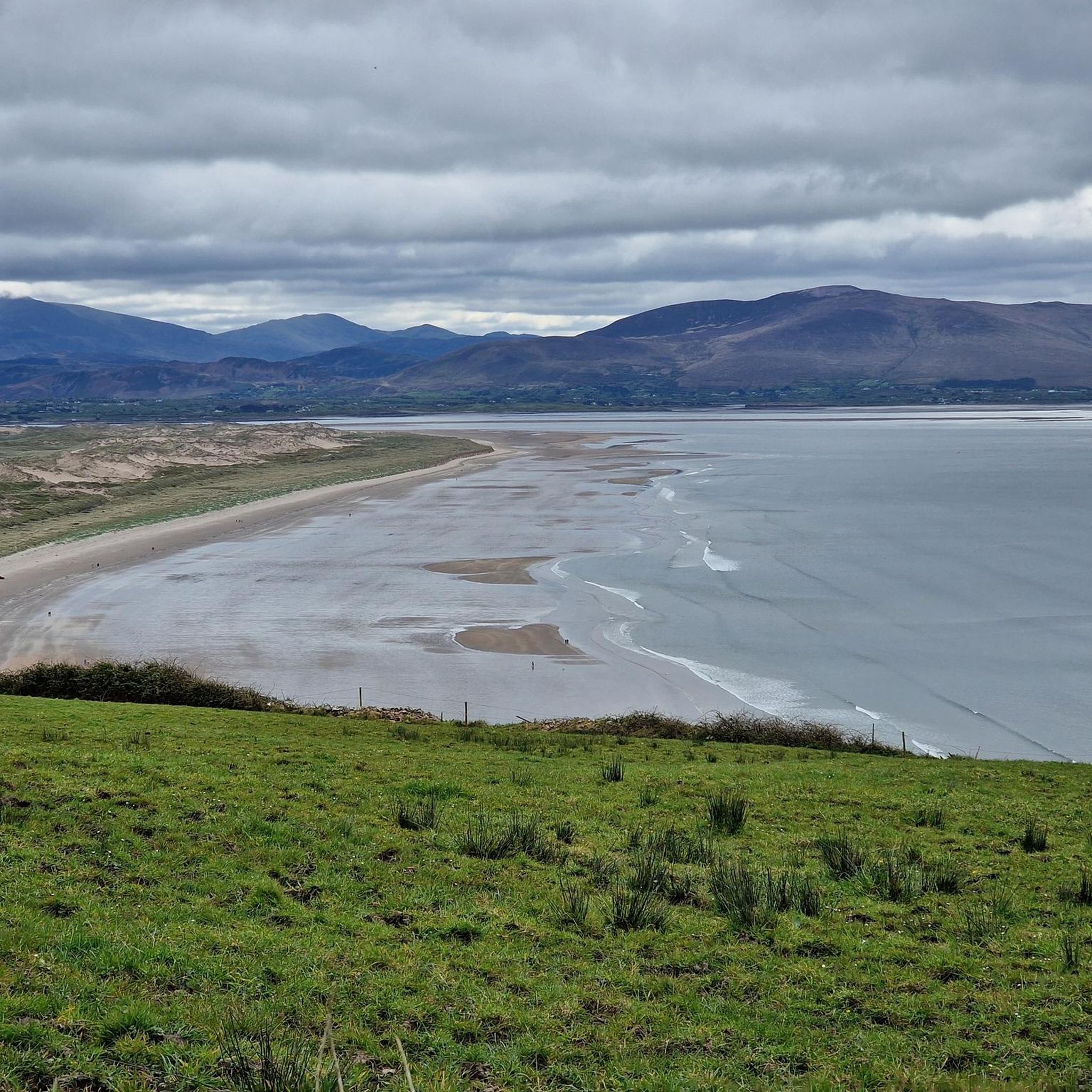
Cycling around Castleisland-Corca Dhuibhne
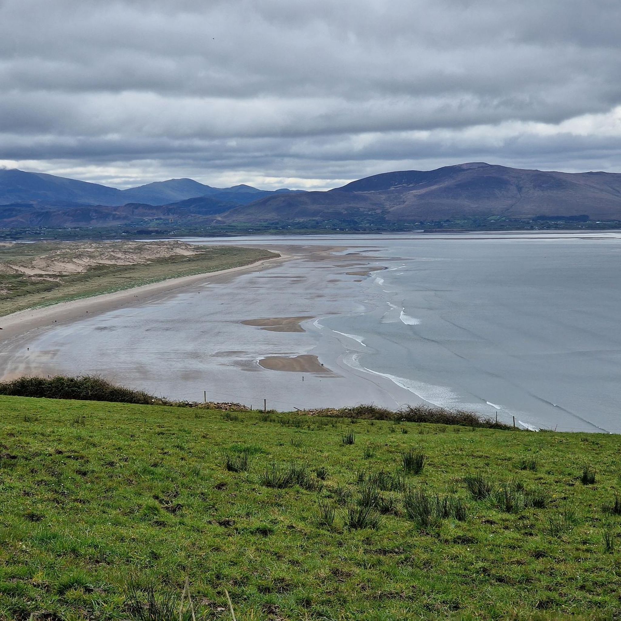
Running Trails around Castleisland-Corca Dhuibhne
Other adventures around Castleisland-Corca Dhuibhne


Tips from the Community

At the top of Sron Bhrón, the landscape opens up to the Atlantic Ocean. The road climbs here along the flank of the mountain, giving you a wide view over the coastline and the open water. A clear, windy point where the height and the sea together let you feel the character of the Dingle coast.
7
0
along a coastal road that winds at the foot of Mount Brandon, between low stone walls and small fields where sheep and horses pass. At the end of the road, a path begins that runs along impressive cliffs.
8
0
This small but powerful beach is nestled between the monumental cliffs of Clogher Head and the red sandstone walls of Ceann Sibéal. For the cyclist, the descent into this bay is a visual spectacle: at high tide or during a storm, you can see the region's highest waves crashing against the rocks here. With the 'Three Sisters' as a backdrop and the characteristic black rocks jutting out of the sand, this is the ultimate spot to experience the unfiltered power of the Atlantic Ocean.
3
0

A gorgeous view here of Brandon Bay from above. You can see the settlement of Brandon here as well as the sandy beach stretching in the distance. Some rocks here offer an opportunity to sit and enjoy.
0
0
A fantastic, pristine and very wide beach in Brandon Bay with beautiful hills and mountains in the distance. A perfect place for a peaceful stroll.
1
0
A very interesting memorial here, remembering a tragedy on 20th December 1943, when a Vickers Wellngton (a plane) crashed down on Mount Brandon, killing all six Polish crew members from RAF 304 Squadron.
1
0

On the way to the Lighthouse, old tower (cannot be entered)
0
0
Nice location outside of Dingle, accessible via an easy coastal path.
0
0
Frequently Asked Questions
How many hiking trails are available in Castleisland-Corca Dhuibhne?
Castleisland-Corca Dhuibhne offers a wide variety of hiking trails, with over 160 routes documented on komoot. These range from easy coastal strolls to challenging mountain ascents, ensuring options for all fitness levels.
What types of terrain can I expect on hikes in Castleisland-Corca Dhuibhne?
The region boasts diverse terrain, from the dramatic coastal paths and wild headlands of the Dingle Peninsula to the rugged mountainous landscapes of the Slieve Mish Mountains and Mount Brandon. You'll also find trails through unique natural habitats like the Inch Sand Dunes and forested areas.
Are there any easy, family-friendly walks in the area?
Yes, there are many easy walks suitable for families. For instance, the Dingle Lighthouse & Beenbane Beach from Dingle offers a pleasant 7.1 km stroll, and the Dunmore Head loop from Coumeenoole Beach is an easy 2 km coastal walk. The Glanageenty Loop is also noted as a moderate, family-friendly option with forest tracks.
Where can I find challenging mountain hikes in Castleisland-Corca Dhuibhne?
For challenging mountain hikes, Mount Brandon is a prime destination. You can tackle the Mount Brandon on the Pilgrim's Path, a difficult 9.3 km route, or opt for the longer Mount Brandon & the Pilgrim Path (Cosan na Naomh) loop, which is 15.4 km. These routes offer spectacular views from Ireland's second-highest mountain.
Are there any circular walks available?
Yes, Castleisland-Corca Dhuibhne features several excellent circular walks. Examples include the moderate Sauce Creek & Brandon Point loop from Brandon, the shorter Loch a’ Dúin loop, and the Bernard Brothers Loop of Glanageenty.
What natural attractions can I see along the hiking trails?
The region is rich in natural beauty. You can discover stunning coastal features like Coumeenoole Beach and Mount Brandon Summit. Inland, explore serene lakes such as Lough Caum and Lough Slat, or even the impressive Lough Coomeen Waterfall.
Are there any historical landmarks or points of interest to explore?
Yes, the landscape is dotted with archaeological and historical sites. You can visit Clochán Brúach na Scealg Dolmen or the ancient Dunbeg Fort. Minard Castle and its beach also offer a glimpse into the past.
What do other hikers say about the trails in Castleisland-Corca Dhuibhne?
The trails in Castleisland-Corca Dhuibhne are highly regarded by the komoot community, with an average rating of 4.6 stars from over 900 reviews. Hikers often praise the breathtaking coastal scenery, the challenging yet rewarding mountain ascents, and the diverse natural beauty of the region.
Is public transport available to reach hiking trailheads?
While specific public transport routes to every trailhead can vary, the Dingle Peninsula and surrounding areas are generally accessible. For detailed information on bus services to specific starting points, it's advisable to check local Kerry public transport schedules.
What is the best time of year to go hiking in Castleisland-Corca Dhuibhne?
The best time to hike in Castleisland-Corca Dhuibhne is typically during the spring (April-May) and summer (June-August) months when the weather is milder and days are longer. However, the region's dramatic landscapes offer unique beauty in autumn and even winter, though conditions can be more challenging with stronger winds and rain.
Are there any trails that feature lakes or woodlands?
Absolutely. The Lough Slat, Lough Caum & Glanteenasig Woods loop is a moderate 7.2 km route that takes you past two beautiful lakes and through woodland areas, offering a different kind of scenic experience.
Most popular routes around Castleisland-Corca Dhuibhne
Most popular attractions around Castleisland-Corca Dhuibhne

Get inspired with the komoot mobile app


Didn’t find what you were looking for?
Check out more Hikes throughout Castleisland-Corca Dhuibhne below and find the perfect route in your destination.
Explore more
Browse the best Hikes in other regions.
