The best mountain hikes around Santa Cruz
4.6
(7)
50
hikers
3
hikes
Mountaineering routes around Santa Cruz are characterized by diverse landscapes, ranging from coastal bluffs to mountainous terrain. The region features significant elevation changes, with routes traversing varied ecosystems. These areas offer a mix of challenging ascents and scenic paths, providing opportunities for different levels of mountaineering experience. The geology includes volcanic formations and rugged coastlines, contributing to the unique character of the routes.
Best mountaineering routes around Santa Cruz
- The most popular mountaineering route is Boca do Risco – View…
Last updated: August 13, 2026
5.0
(2)
24
hikers
7.15km
02:39
380m
380m
Hard mountaineering route. Good fitness required. Sure-footedness, sturdy shoes and alpine experience required.
4.0
(2)
12
hikers
Easy mountaineering route. Great for any fitness level. Easily-accessible paths. Suitable for all skill levels.

Sign up for free
4.5
(2)
9
hikers
17.4km
06:41
910m
910m
Hard mountaineering route. Very good fitness required. Mostly accessible paths. Sure-footedness required.
5.0
(1)
5
hikers
8.84km
03:47
530m
530m
Hard mountaineering route. Good fitness required. Sure-footedness, sturdy shoes and alpine experience required.
Our route recommendations are based on thousands of hikes, rides, and runs completed by other people on komoot.
Start today with a free account
Your next adventure awaits.
Login or Signup
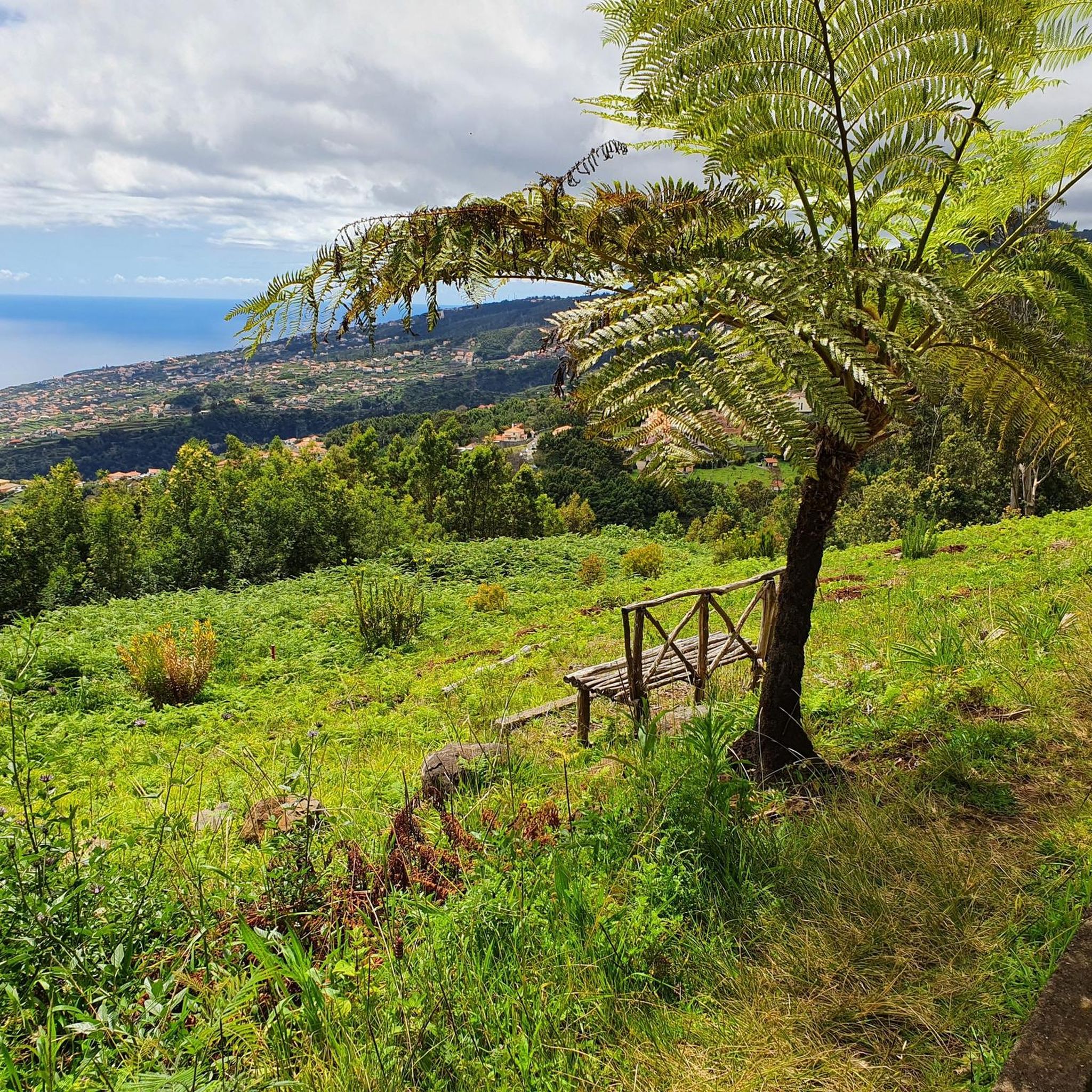
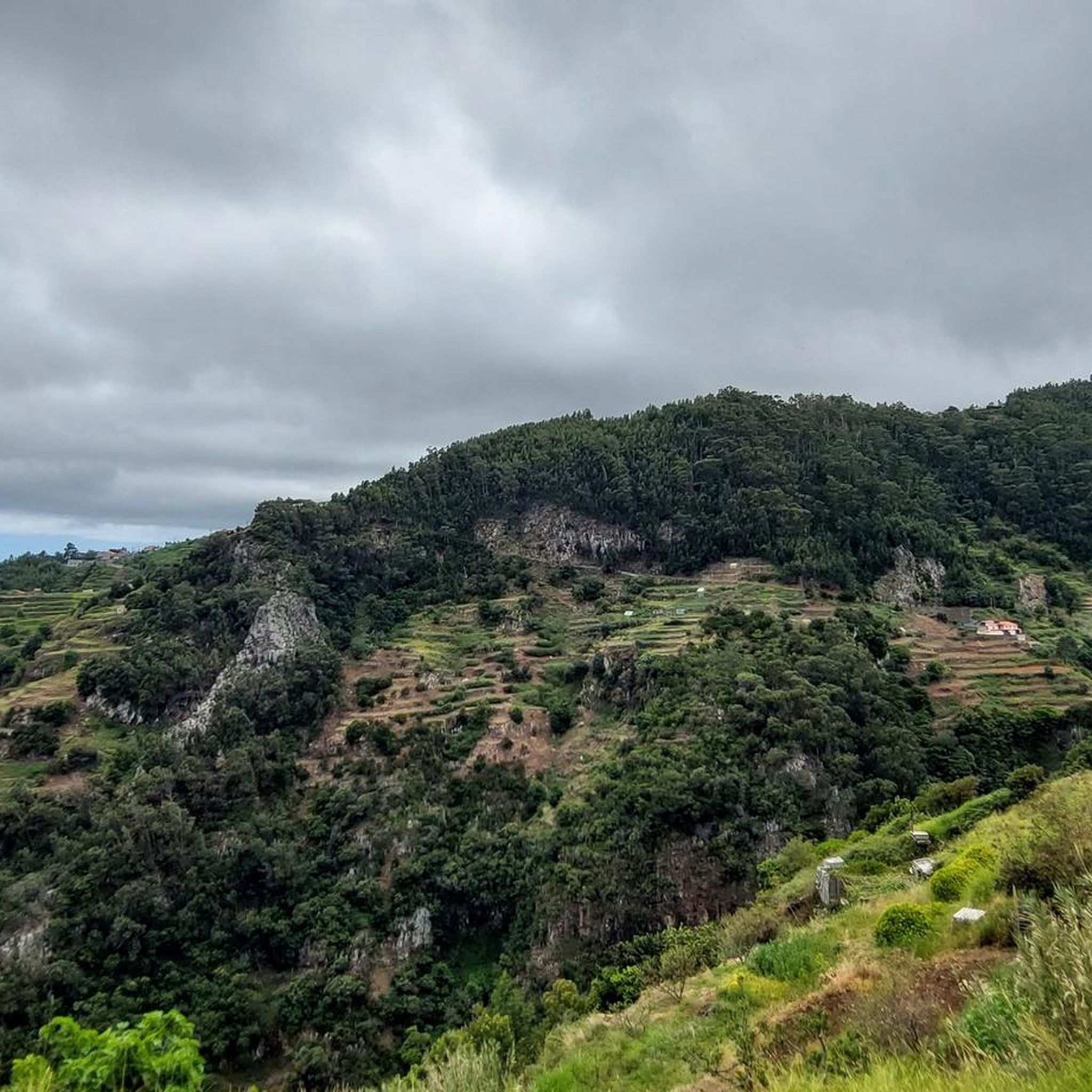
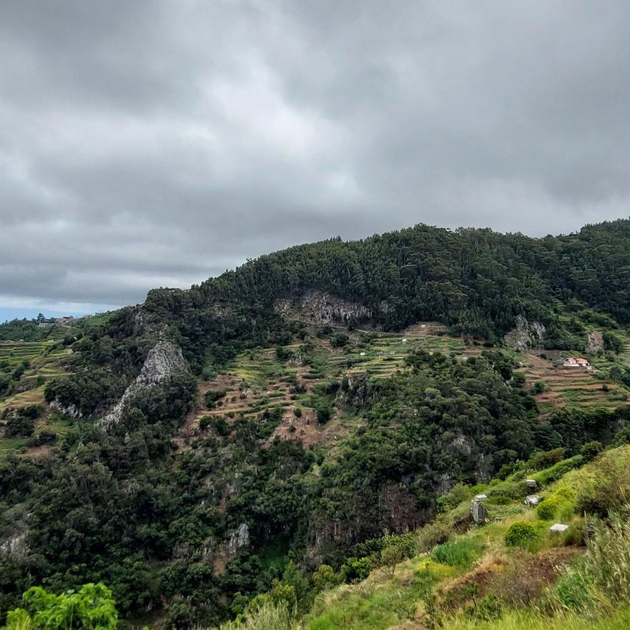
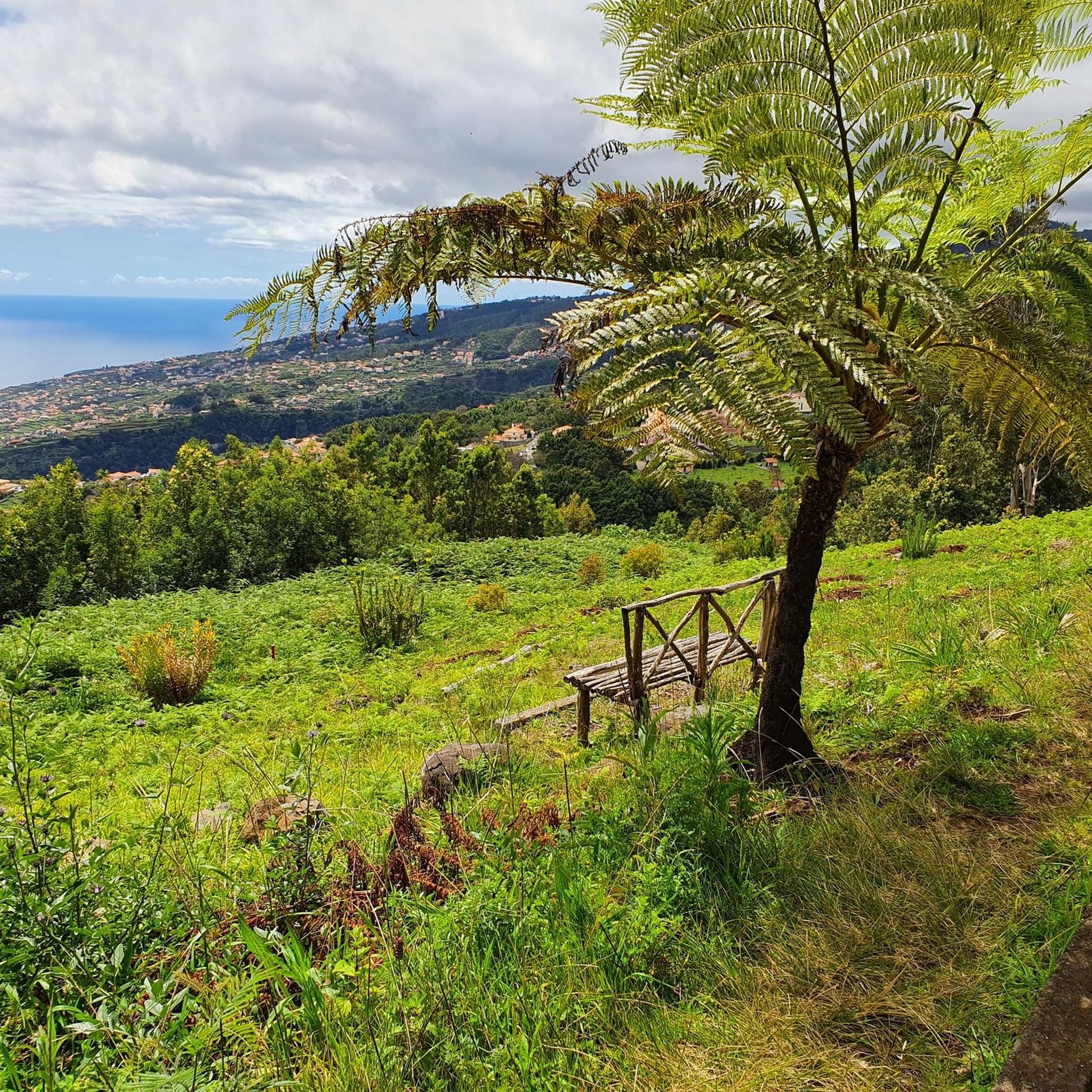
Tips from the Community

It's worth getting there early. Then you don't have to look for a parking space far away. By the way, you have to expect that the route booking will be checked here.
0
0

A good parking lot for hikes with still pleasant parking fees. You can also drive up to the summit, but there you can only park for 1 hour at double the parking fee compared
0
0

Breathtaking views from the hiking trail. Fortunately, ropes are attached to the boundary posts, which many hikers gladly use. Whether going uphill or downhill, they simply provide a sense of security.
7
0
This viewpoint is also worth seeing for sunrise. However, the path from the parking lot at Rio Arieiro to the start of the Ninho da Manta trail was completely icy when we were there. It only became passable once the sun thawed the ice.
5
0

On this section of Boca do Risco, you'll find a small cave right on the spectacular coastal path. The combination of dark lava rock, the path running high above, and the constant sound of the Atlantic Ocean creates a particularly impressive atmosphere. A striking spot that offers a unique way to experience the wild, unspoiled landscape of Madeira.
5
0
This small waterfall in Madeira Natural Park is a tranquil natural highlight along the trail. Between rock faces and lush greenery, the water gently cascades down, creating a refreshing and idyllic atmosphere. A short stop is well worth it – perfect for enjoying the peace of the forest and the natural beauty of Madeira.
2
0
From this point, you have a breathtaking view of the rock formations of Ponta de São Lourenço, which appear in vibrant shades of red, yellow, and dark basalt. The rugged cliffs and striking strata reveal the volcanic history of Madeira in all its diversity. A captivating panorama that ranks among the most impressive moments on this coastal path.
3
0
The rock steps of Ponta de São Lourenço lead you across naturally formed and partially reinforced steps through the rugged volcanic landscape of the peninsula. As you ascend and descend, fantastic views of the cliffs and the Atlantic Ocean constantly unfold. A characteristic section of the trail that makes the wild beauty of this region particularly palpable.
3
0
Frequently Asked Questions
What kind of terrain can I expect on mountaineering routes around Santa Cruz?
Mountaineering routes in Santa Cruz offer a diverse range of landscapes. You'll find everything from coastal bluffs with ocean views to the towering redwood forests of the Santa Cruz Mountains. The region features significant elevation changes, traversing varied ecosystems, including wild and remote terrain with grassy ridge-top fields and cool, moist canyons. You might also encounter volcanic formations and rugged coastlines.
Are there mountaineering routes suitable for beginners in Santa Cruz?
Yes, while many routes offer challenging ascents, there are options for those new to mountaineering. For example, the Baía de Abra Parking Lot loop from Ponta de São Lourenço is an easy route, covering about 3.3 km with minimal elevation gain, making it a good starting point.
What are some of the more challenging mountaineering routes in the area?
For experienced mountaineers seeking a challenge, Santa Cruz offers several difficult routes. The Eagle Rock of Porto da Cruz – View of Porto da Cruz loop from Machico is a demanding 24.3 km trail with nearly 1,000 meters of elevation gain. Another challenging option is the View of Porto da Cruz – Drinking Water Fountain loop from Machico, which is 17.4 km long and involves significant climbing.
Are there any loop routes for mountaineering in Santa Cruz?
Yes, many of the mountaineering routes around Santa Cruz are designed as loops, allowing you to start and end at the same point. Examples include the Eagle Rock of Porto da Cruz – View of Porto da Cruz loop from Porto da Cruz and the Baía de Abra Parking Lot loop from Ponta de São Lourenço.
What is the best time of year to go mountaineering in Santa Cruz?
Santa Cruz generally offers pleasant conditions for outdoor activities year-round. However, for mountaineering, spring and fall often provide the most comfortable temperatures and clearer skies. Summer can be warm, especially inland, while winter might bring rain, though the region's diverse microclimates mean conditions can vary. Always check local weather forecasts before heading out.
What kind of natural attractions or viewpoints can I expect to see along the routes?
The routes often feature breathtaking natural attractions. You can expect stunning ocean views from coastal bluffs, serene redwood forests, and panoramic vistas from ridge-tops in the Santa Cruz Mountains. Some routes may also lead you past beautiful waterfalls, such as the Mossy Waterfall in Madeira Natural Park or the Waterfall Along Levada do Norte, and even tranquil lakes like the Santa Catarina Park Lagoon.
Are there any family-friendly mountaineering options in Santa Cruz?
While many mountaineering routes involve significant elevation and distance, some parks in the Santa Cruz Mountains, like Henry Cowell Redwoods State Park, offer trails suitable for various skill levels, which can include family-friendly sections. For specific mountaineering routes, it's best to check the individual tour details for distance and elevation to ensure they align with your family's capabilities. The Baía de Abra Parking Lot loop from Ponta de São Lourenço is an easy option that might be suitable for families.
What do other mountaineers enjoy most about the routes in Santa Cruz?
The mountaineering routes around Santa Cruz are highly rated by the komoot community, with an average score of 4.7 stars from over 10 reviews. Mountaineers often praise the diverse terrain, from challenging ascents with rewarding views to the unique experience of traversing coastal paths and volcanic landscapes. The variety ensures there's something for every level of experience.
How long do the mountaineering routes typically take to complete?
The duration of mountaineering routes varies significantly based on their length and difficulty. For instance, a challenging route like the Eagle Rock of Porto da Cruz – View of Porto da Cruz loop from Machico, which is 24.3 km long, can take around 8 hours and 24 minutes. Shorter, easier routes, such as the Baía de Abra Parking Lot loop from Ponta de São Lourenço (3.3 km), can be completed in just under an hour.
Are there any specific permits required for mountaineering or climbing in Santa Cruz?
For general hiking and mountaineering on established trails in state parks and open spaces, permits are typically not required. However, for specific rock climbing activities, especially in popular areas like Castle Rock State Park, it's always advisable to check with the park authorities for any specific regulations or permits that might be needed for climbing access or bouldering. Always respect local guidelines and private property.
Can I bring my dog on the mountaineering trails?
Dog policies vary significantly between different parks and trail systems in the Santa Cruz area. While some trails may allow dogs on leash, others, particularly in sensitive natural areas or state parks, may have restrictions or prohibit dogs entirely. It's crucial to check the specific regulations for each park or trail you plan to visit before bringing your dog.
What kind of elevation gain can I expect on these routes?
The elevation gain on mountaineering routes around Santa Cruz can vary greatly, from modest ascents to significant climbs. For example, the Eagle Rock of Porto da Cruz – View of Porto da Cruz loop from Machico involves nearly 1,000 meters of elevation gain, while the Drinking Water Fountain loop from Machico has over 527 meters of ascent. Even easier routes like the Baía de Abra Parking Lot loop from Ponta de São Lourenço still feature about 85 meters of climbing.
Most popular attractions around Santa Cruz

Get inspired with the komoot mobile app


Explore more
Browse the best Mountain Hikes & Routes in other regions.
