The best cycling routes around Argela
4.6
(347)
2,752
riders
101
rides
Touring cycling routes around Argela are characterized by their diverse riverine and coastal landscapes. The region features the Coura and Minho rivers, offering routes along their banks and estuaries. Cyclists can explore the Ecovia Litoral Norte, which provides paths along the Atlantic coast and beaches. The terrain is generally flat to gently rolling, with some routes featuring moderate elevation gains.
Best touring cycling routes around Argela
- The most popular touring cycling route is Recreational dock – Coura River 🌊 loop…
Last updated: October 7, 2026
4.7
(64)
397
riders
48.9km
03:12
240m
240m
Moderate bike ride. Good fitness required. Mostly paved surfaces. Suitable for all skill levels.
4.7
(26)
210
riders
49.0km
02:51
150m
150m
Moderate bike ride. Good fitness required. Mostly paved surfaces. Suitable for all skill levels.

4.6
(12)
145
riders
Easy bike ride. Great for any fitness level. Mostly paved surfaces. Suitable for all skill levels.
4.9
(7)
55
riders
Hard bike ride. Very good fitness required. Mostly paved surfaces. Suitable for all skill levels.
5.0
(5)
33
riders
16.5km
00:59
80m
80m
Easy bike ride. Great for any fitness level. Mostly paved surfaces. Suitable for all skill levels.
Get access to more routes and recommendations from other explorers.
Already have an account?
Our route recommendations are based on thousands of hikes, rides, and runs completed by other people on komoot.
Start today with a free account
Your next adventure awaits.
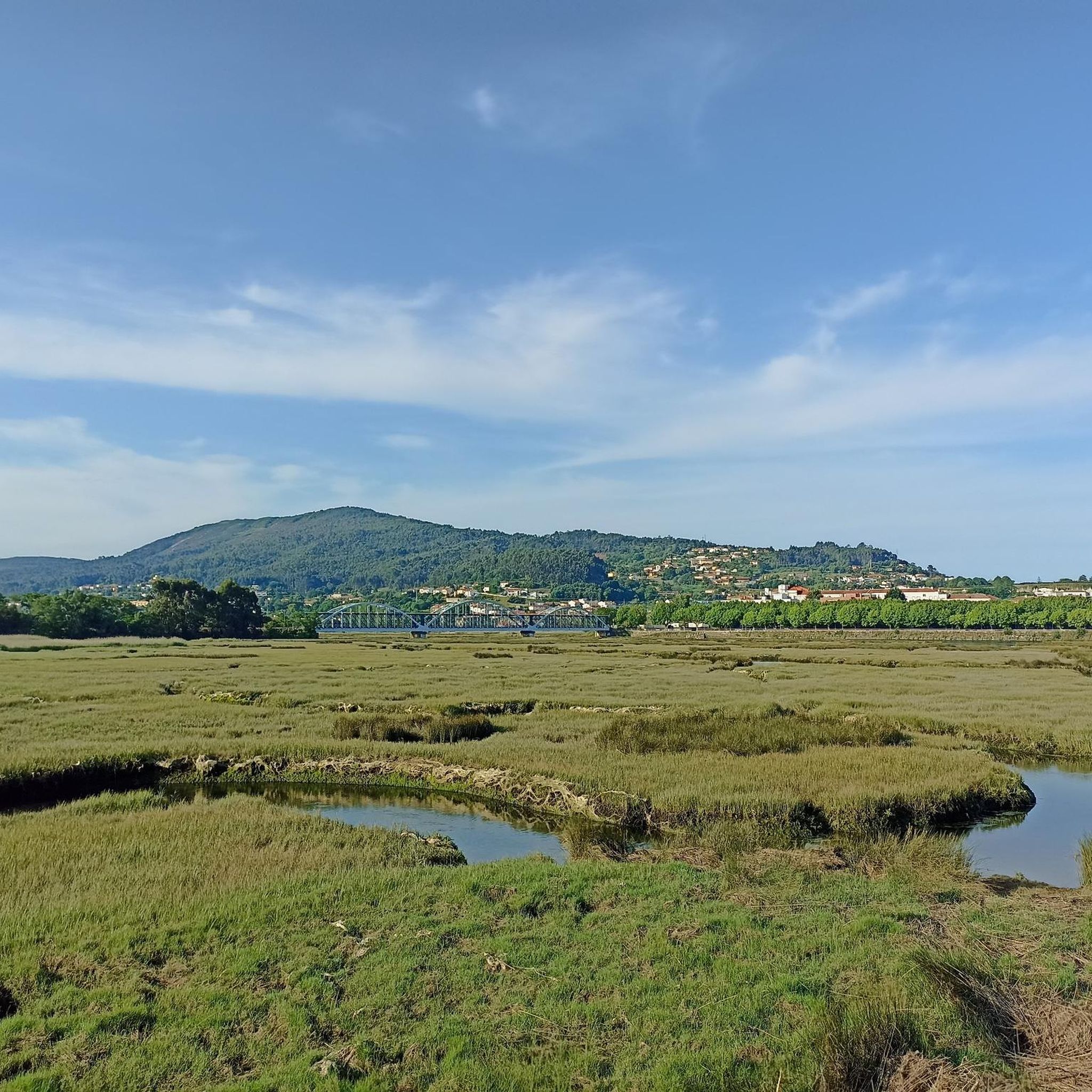
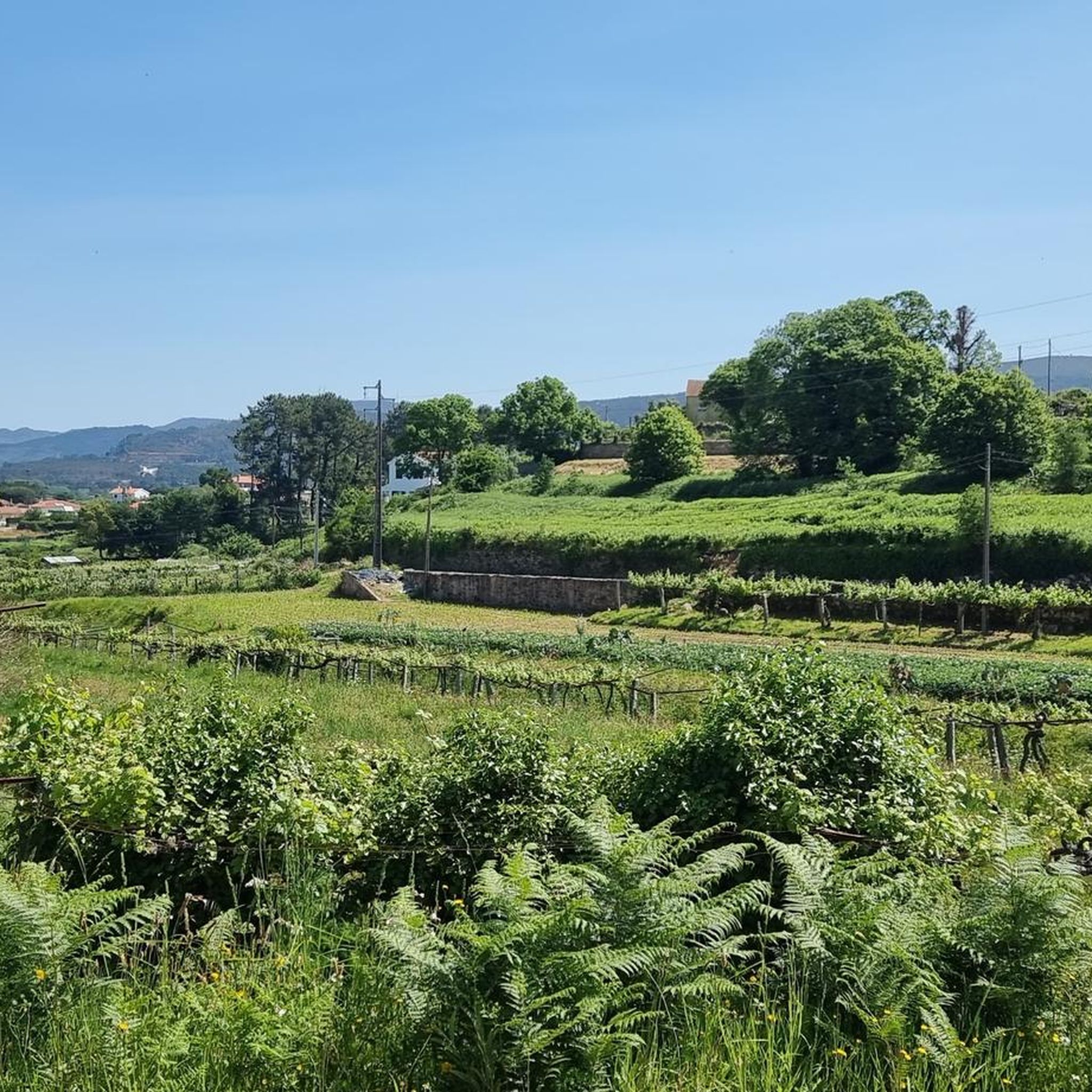
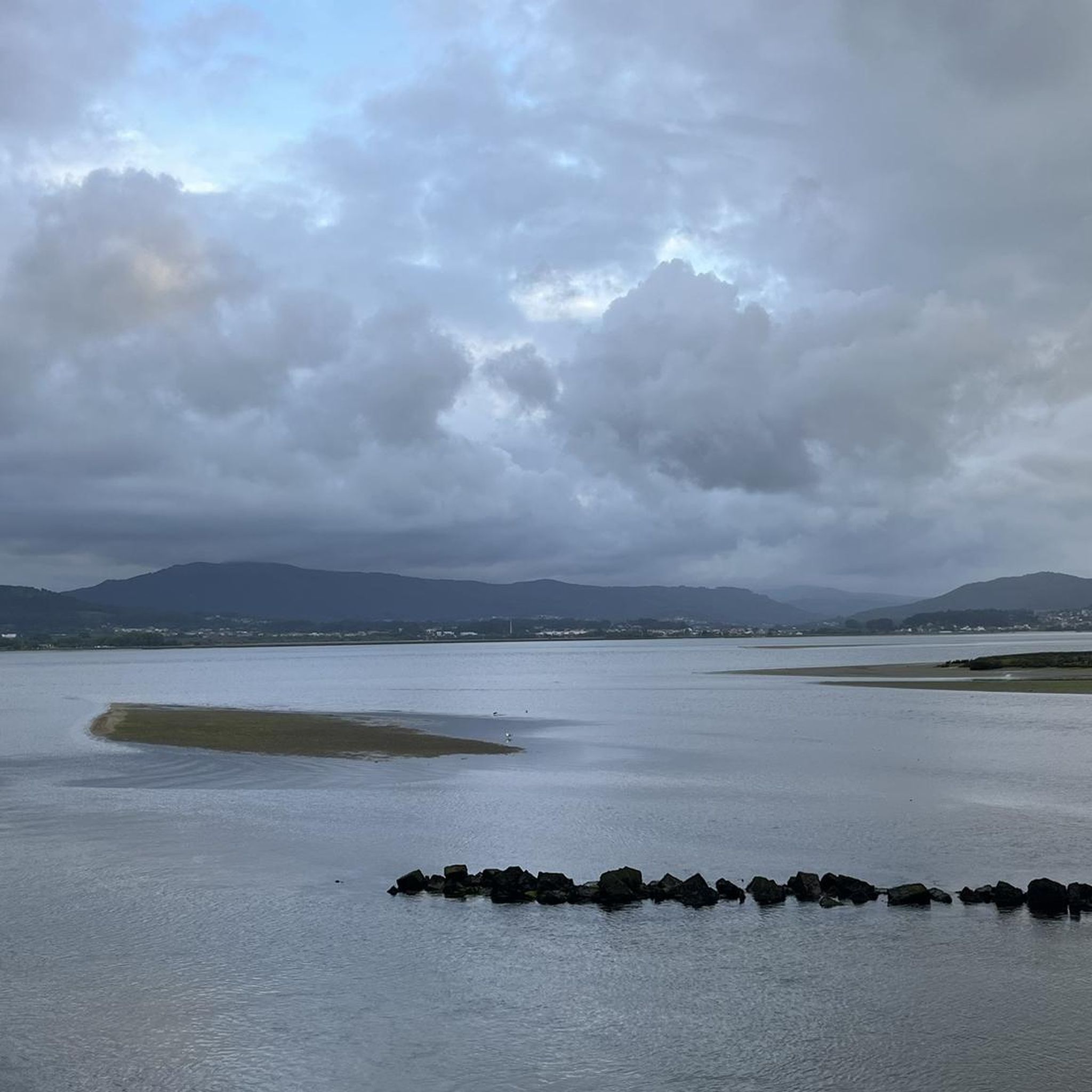

Tips from the Community

Old castle, but it was unfortunately closed.
0
0

Natural border between Spain and Portugal.
0
0

This chapel is located between the banks of the Minho River and the urban area of Seixas, without any chronological or documentary data. Its stone construction, with openings limited by the door and a small postern, may place it in the Middle Ages. Chapel of Saint Sebastian This chapel is located between the banks of the Minho River and the urban area of Seixas, following the quay and with the cycle path passing right next to it, as seen in the photo. Without any chronological or documentary data, the existence of the Chapel of Saint Sebastian is only confirmed by its construction on the site. 👍🥾 You can obtain more information about this chapel at the link below.
0
0

Visit and Accessibility Access: Access to the site is free and open 24 hours a day. Trails and Hiking: The fort is part of the PR7 - Paçô Fort Trail, a pedestrian route that coincides with part of the Camino de Santiago da Costa and allows you to explore the area of the Viana do Castelo Coastal Geopark, passing through landscapes of dunes and cliffs. Beach: Paçô Beach, adjacent to the fort, is a beach with a wide sandy area and rock formations that form natural pools at low tide. Accessibility: There is wheelchair accessible parking nearby.
2
0
Main Characteristics Military Architecture: The fort was built for the purpose of defending the Atlantic coast against maritime attacks. It has a characteristic star-shaped plan and small dimensions. Location: It is located directly on the beach, a few meters from the sea, which can reach its walls during the winter. Its location offers scenic views of the coastline. Current State: The fort is currently in ruins, without functional rehabilitation, and it is not possible to enter the structure. However, the surrounding area is accessible for public visitation.
2
0
The Paçô Fort, also known as the Montedor Fort, is a historic 17th-century coastal fortification located in the parish of Carreço, near Paçô Beach, in the municipality of Viana do Castelo, Portugal.
2
0
In Spain (Galicia) Muíños do Picón and do Folón: On the Spanish side, in O Rosal, the area offers hiking trails with views of Portugal and the river mouth from elevated points. A Guarda: The Spanish city on the other side of the river also offers direct views of the Portuguese beach and the dynamic river mouth.
1
0
Frequently Asked Questions
How many touring cycling routes are available around Argela?
There are over 90 touring cycling routes available around Argela, offering a wide variety of options for exploration. These routes are highly rated by the komoot community, with an average score of 4.5 stars.
What kind of landscapes can I expect on touring cycling routes in Argela?
Touring cycling routes in Argela are characterized by diverse riverine and coastal landscapes. You can expect to cycle along the banks and estuaries of the Coura and Minho rivers, as well as explore the Atlantic coast and beaches via the Ecovia Litoral Norte. The terrain generally ranges from flat to gently rolling.
What are the general difficulty levels of touring cycling routes in Argela?
Argela offers a good mix of difficulty levels for touring cyclists. You'll find 28 easy routes, 19 moderate routes, and 45 more challenging routes. This variety ensures options for different ability levels, from relaxed coastal rides to more demanding river loops.
Are there any family-friendly touring cycling routes in Argela?
Yes, Argela has several easy touring cycling routes suitable for families. A great option is the Ecovia Litoral Norte 🚲 – Moledo Beach ⛱️ loop from Senhora da Agonia, which is an easy 11.3-mile (18.2 km) path exploring the coastal Ecovia Litoral Norte and passing by Moledo Beach.
Are there many loop routes for touring cyclists in Argela?
Yes, many of the touring cycling routes in Argela are designed as loops, making them convenient for starting and ending at the same point. Examples include the popular Recreational dock – Coura River 🌊 loop from Senhora da Agonia and the Coura River 🌊 – Praça Conselheiro Silva Torres loop from Senhora da Agonia.
What are some notable viewpoints or attractions along the cycling routes?
Along your cycling routes, you can discover several interesting points. The View over the mouth of the Minho River is a significant highlight. You can also visit historical sites like Praça Conselheiro Silva Torres and Historic Center of Caminha, or the Caminha Clock Tower. For panoramic views, consider routes that pass by Monte de Santa Trega.
What do other cyclists say about touring cycling in Argela?
The touring cycling routes in Argela are highly rated by the komoot community, with an average score of 4.5 stars from over 300 reviews. More than 2,400 touring cyclists have used komoot to explore the varied terrain, often praising the scenic river valleys, coastal paths, and dedicated ecovias.
What is the best time of year for touring cycling in Argela?
While specific weather data isn't provided, coastal and riverine regions like Argela typically offer pleasant cycling conditions during spring (April-June) and autumn (September-October) when temperatures are milder and rainfall is generally lower. Summer months can be warm, especially in July and August, which are noted as active cycling months.
Are there options for shorter or longer touring cycling routes?
Yes, Argela offers a range of route lengths. You can find shorter, easy paths like the Foz do Minho Beach ⛱️ – View over the mouth of the Minho River loop from Caminha at 4.5 miles (7.3 km), or longer moderate routes such as the Recreational dock – Coura River 🌊 loop from Senhora da Agonia, which is 31.1 miles (50.0 km).
Can I find routes that follow river valleys?
Absolutely. Argela's touring cycling is defined by its riverine landscapes. Routes frequently follow the Coura and Minho rivers, offering scenic views along their banks. The Coura River 🌊 – Praça Conselheiro Silva Torres loop from Senhora da Agonia is a prime example, leading through beautiful river valleys.
Are there any specific coastal routes I can explore?
Yes, the Ecovia Litoral Norte is a prominent feature for coastal cycling in Argela. Routes like the Ecovia Litoral Norte 🚲 – Moledo Beach ⛱️ loop from Senhora da Agonia allow you to explore the Atlantic coast and its beaches.
Are there any historical or cultural sites accessible by bike?
Yes, several routes pass by or near historical and cultural points of interest. You can cycle to the Historic Center of Caminha, which includes Praça Conselheiro Silva Torres, and see the Caminha Clock Tower. There's also the Statue of a Pilgrim on the Camino de Santiago Coast, which can be encountered on coastal paths.
Most popular attractions around Argela

Get inspired with the komoot mobile app


Explore more
Browse the best Cycling routes in other regions.
