The best walks and hikes around Argela
4.6
(844)
4,709
hikers
152
hikes
Hiking around Argela offers a diverse landscape for outdoor exploration, characterized by its proximity to the Minho River and the Atlantic coast, alongside inland hills and historic towns. The region features a mix of riverine paths, coastal trails, and ascents to local summits. This varied terrain provides opportunities for different types of hiking experiences, from leisurely strolls to more challenging climbs.
Best hiking trails around Argela
- The most popular hiking route is Caminha Clock Tower – Minho River Greenway loop…
Last updated: October 7, 2026
4.4
(39)
228
hikers
24.4km
06:53
510m
510m
Hard hike. Very good fitness required. Easily-accessible paths. Suitable for all skill levels.
4.4
(37)
190
hikers
29.1km
07:52
390m
390m
Hard hike. Very good fitness required. Easily-accessible paths. Suitable for all skill levels.

4.9
(17)
103
hikers
23.1km
05:56
100m
100m
Hard hike. Very good fitness required. Easily-accessible paths. Suitable for all skill levels.
4.4
(12)
61
hikers
Hard hike. Very good fitness required. Easily-accessible paths. Suitable for all skill levels.
4.6
(8)
35
hikers
Moderate hike. Good fitness required. Mostly accessible paths. Sure-footedness required.
Get access to more routes and recommendations from other explorers.
Already have an account?
Our route recommendations are based on thousands of hikes, rides, and runs completed by other people on komoot.
Start today with a free account
Your next adventure awaits.
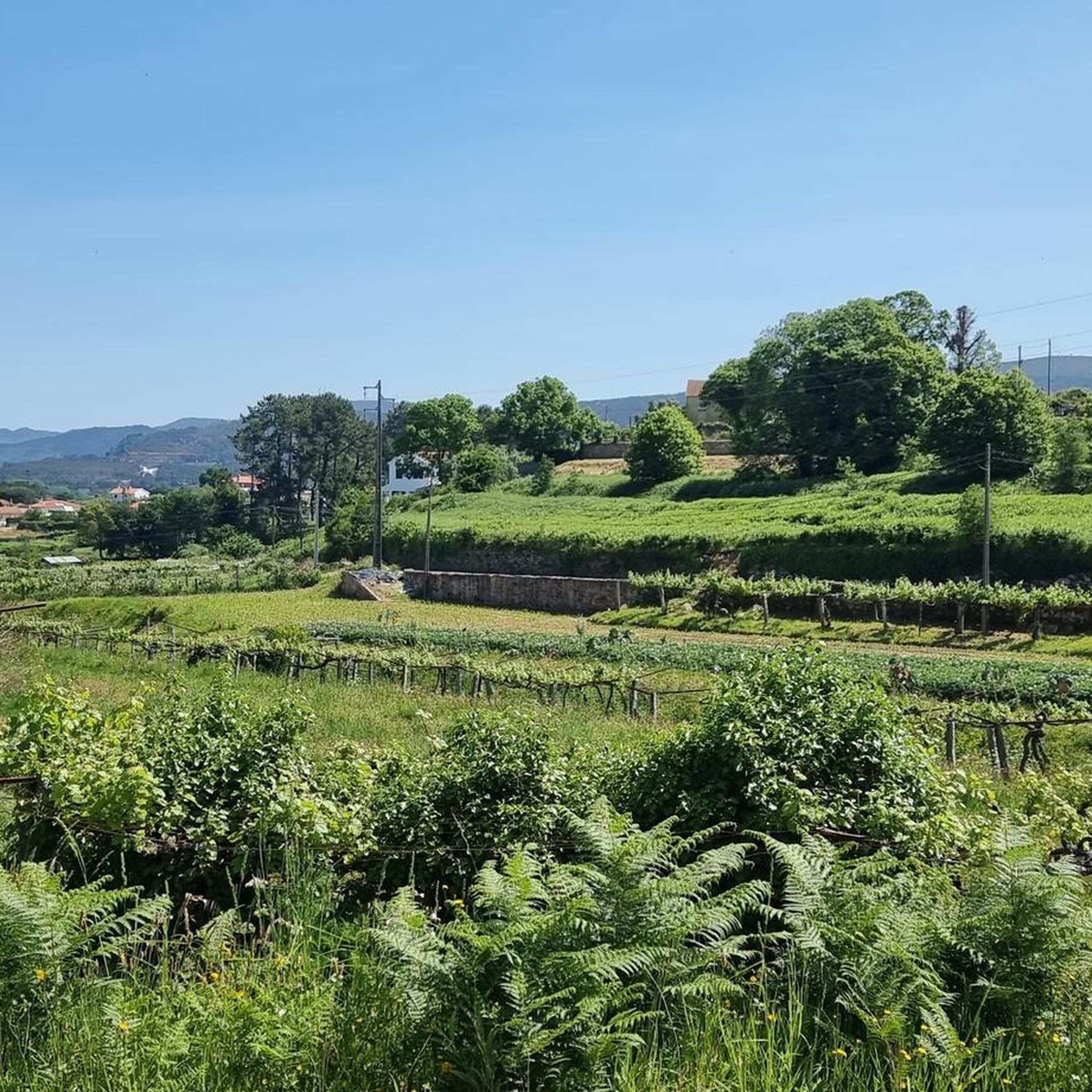
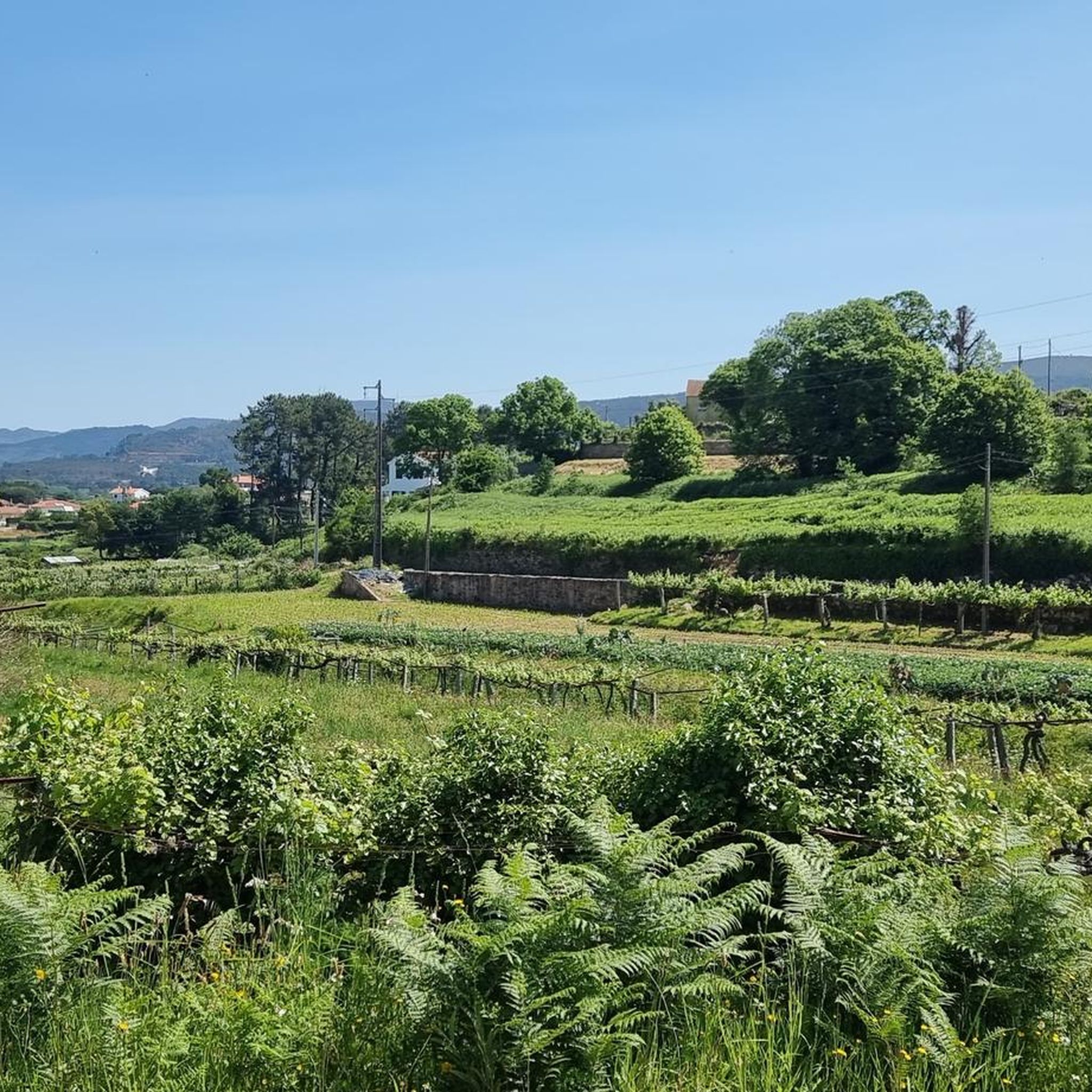
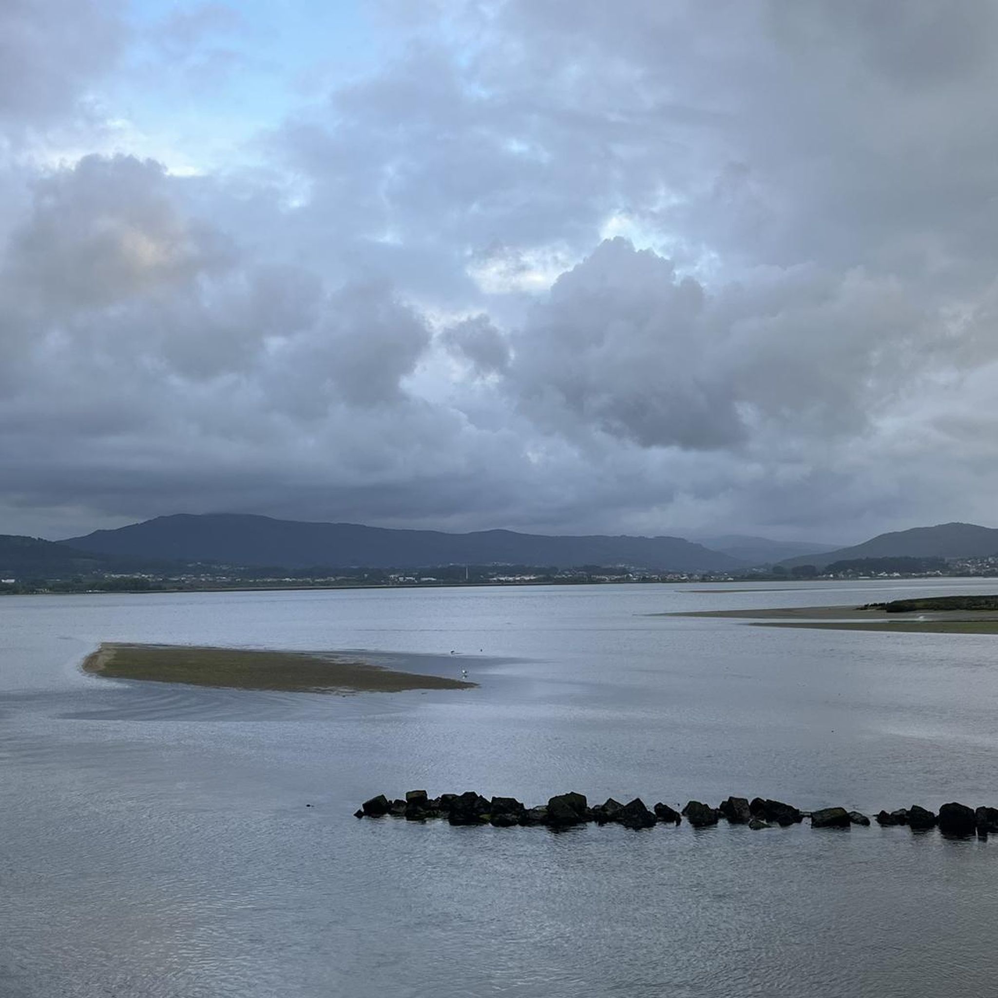
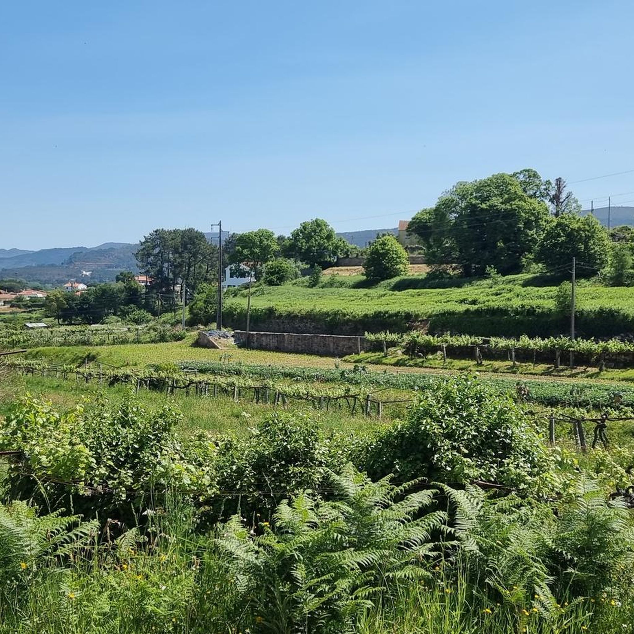

Tips from the Community

Chapel of Saint Isidore
0
0

The Portuguese Coastal Way Vila Praia de Âncora is one of the important stops on the coastal route that connects Porto Cathedral to Santiago de Compostela Cathedral. The route is known for its beautiful coastal landscapes and good signage with yellow arrows and scallop shells.
1
0
Location and Meaning Location: The sculpture is situated on a point along the Portuguese Coastal Way, being a highlight or point of interest (POI) listed in trail guides and apps like Komoot. The exact location is near Vila Praia de Âncora Beach. Symbolism: The sculpture, along with a metal sign with the silhouette of a pilgrim and the inscription "Buen Camino" (Good Way), symbolizes the journey, perseverance, and faith that move pilgrims towards Santiago de Compostela. It is a popular spot for photos and reflection during the walk.
1
0
The Good Way Pilgrim Sculpture is a landmark and monument located in Vila Praia de Âncora, Portugal, along the Portuguese Coastal Way to Santiago de Compostela. The sculpture is part of a broader cultural project to promote the ancient route and serves as a point of reference and highlight for pilgrims passing through the region.
1
0
The North Coast Ecovia is a cycling and pedestrian route that stretches for 73 kilometers, connecting Caminha to Apúlia in northern Portugal. It is part of the North Coast Natural Park and offers stunning views of the Atlantic coast and natural landscape. Points of Interest: - Beaches: The North Coast Ecovia passes by several beaches, including Esposende Beach, Suave Mar Beach, Cepães Beach, Barrelas Beach, and Rio de Moinhos Beach.
1
0

Square where you can rest and have coffee.
1
0

Very nice, good for walking and cycling
2
2
Frequently Asked Questions
How many hiking trails are available around Argela?
There are over 120 hiking trails around Argela, offering a wide range of experiences from easy strolls to more challenging climbs. The komoot community has explored these routes over 3,000 times, providing valuable insights and ratings.
Are there easy hiking options suitable for beginners or leisurely strolls in Argela?
Yes, Argela offers over 60 easy hiking routes. These trails are perfect for beginners or those looking for a relaxed walk. An excellent option is the Caminha Clock Tower – Historic Center of Caminha loop from Caminha, which is 4.1 miles (6.7 km) long and takes about 1 hour 41 minutes, leading you through the charming historic center.
What kind of terrain can I expect on hikes around Argela?
The hiking terrain around Argela is quite diverse. You'll find riverine paths along the Minho River, coastal trails near the Atlantic, and ascents into inland hills. This variety allows for different types of hikes, from flat, scenic walks to more demanding climbs with expansive views.
Are there any circular hiking routes in Argela?
Many of the trails in Argela are designed as circular routes, allowing you to start and end at the same point. For instance, the Pedra Alçada Summit (742 m) – Chapel of Saint John of Arga loop from Arga de São João is a moderate 6.8-mile (11.0 km) loop that offers stunning views from the summit.
What can I see along the hiking trails around Argela?
Hikers in Argela can discover a rich blend of natural beauty and historical landmarks. Along the trails, you might encounter the Ecovia do Atlântico, explore the Historic Center of Caminha, or enjoy a view over the mouth of the Minho River. For those seeking elevated perspectives, the Pedra Alçada Summit (742 m) offers panoramic vistas.
What do other hikers enjoy the most about hiking in Argela?
The komoot community rates the trails in Argela highly, with an average score of 4.5 stars from over 600 reviews. Hikers often praise the region's diverse landscapes, from the tranquil river paths to the challenging hill climbs, and the well-maintained routes that allow for varied outdoor experiences.
Are there any challenging hikes for experienced hikers in Argela?
Yes, Argela offers 12 difficult trails for experienced hikers seeking a challenge. These routes often feature significant elevation changes and longer distances. An example is the Caminha Clock Tower – Minho River Greenway loop from Vilar de Mouros, a demanding 14.7-mile (23.7 km) trail along the Minho River.
Is there parking available near the trailheads in Argela?
While specific parking details vary by trailhead, many popular starting points for hikes in Argela, especially those near towns like Caminha or Vilar de Mouros, typically offer designated parking areas. It's advisable to check the individual tour details on komoot for specific parking information before you go.
What is the best time of year to go hiking in Argela?
The region around Argela, with its proximity to the Atlantic, generally experiences mild weather. Spring and autumn are often ideal for hiking, offering pleasant temperatures and lush scenery. Summer can be warm, especially on exposed trails, while winter provides a quieter experience, though some higher elevation paths might be cooler.
Are there any hikes that lead to notable viewpoints or summits?
Absolutely. Argela's hilly terrain provides several opportunities for hikes to viewpoints and summits. The Pedra Alçada Summit (742 m) is a prominent peak offering extensive views, and the Monte de Santa Trega also provides a fantastic vantage point over the landscape.
Can I find trails that combine natural landscapes with historic sites?
Many trails in Argela seamlessly blend natural beauty with historical exploration. Routes often follow riverbanks or coastal paths and then lead into charming historic towns. The Caminha Clock Tower – Historic Center of Caminha loop from Caminha is a prime example, allowing you to experience both the natural surroundings and the rich history of the area.
Most popular attractions around Argela

Get inspired with the komoot mobile app


Explore more
Browse the best Hikes in other regions.
