Presidential Range-Dry River Wilderness
Presidential Range-Dry River Wilderness
The 9 Most Amazing Peaks in Presidential Range-Dry River Wilderness
Best mountain peaks in Presidential Range-Dry River Wilderness overview: This federally designated wilderness in New Hampshire's White Mountains spans approximately 27,000 to 29,000 acres. The region is characterized by steep slopes, high ridgelines, and diverse ecosystems including spruce-fir forests and alpine tundra. It offers a rugged experience for hikers seeking solitude and challenging terrain.
Best mountain peaks in Presidential Range-Dry River Wilderness
- The most popular mountain peaks is Mount Jackson Summit, a summit that offers excellent hiking opportunities in…
Last updated: June 29, 2026
Mount Jackson Summit
Highlight • Summit
Tip by

Mount Pierce
Highlight • Summit
Tip by

Sign up now to discover places like this
Get recommendations on the best single tracks, peaks, & plenty of other exciting outdoor places.
Sign up for free
Mount Isolation
Highlight • Summit
Translated by Google •
Tip by

Stairs Mountain Summit View
Highlight • Summit
Tip by

Mount Crawford Summit View
Highlight • Summit
Tip by
Start today with a free account
Your next adventure awaits.
Login or Signup
Popular around Presidential Range-Dry River Wilderness
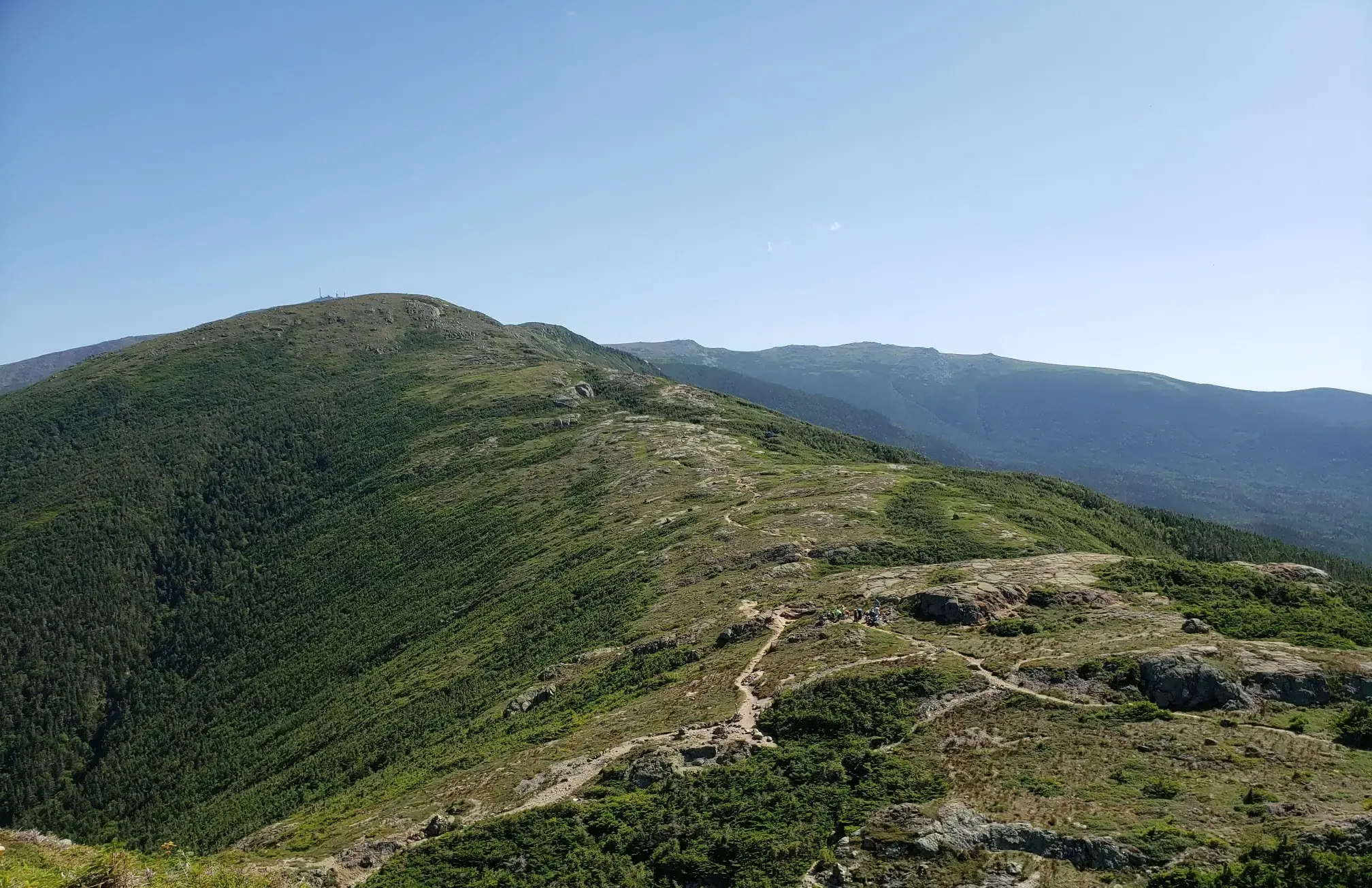
The Presidential Traverse — A classic New Hampshire sandbag
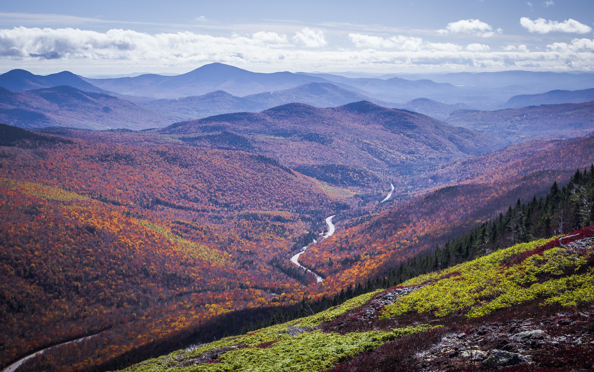
Cohos Trail — Exploring New Hampshire’s remote North Woods
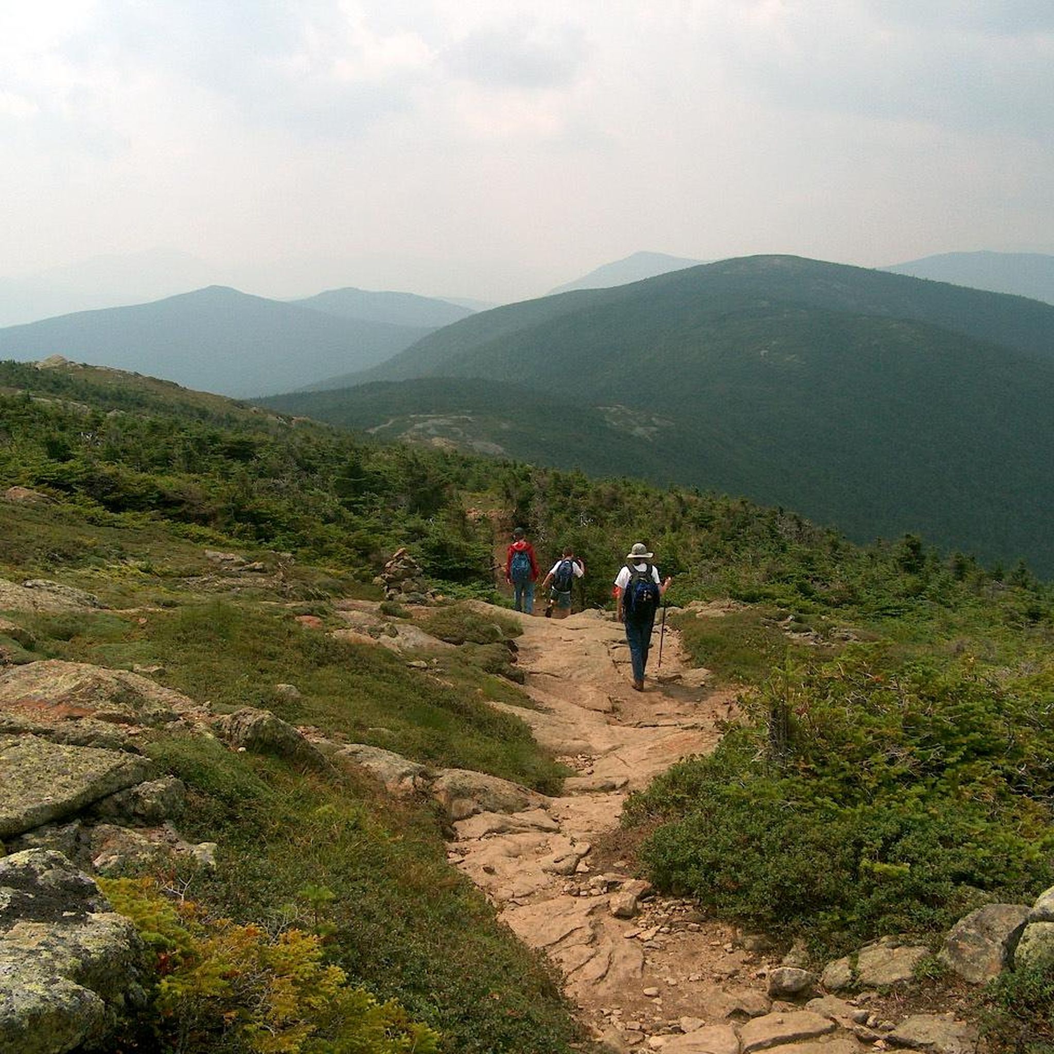
Hiking in Presidential Range-Dry River Wilderness
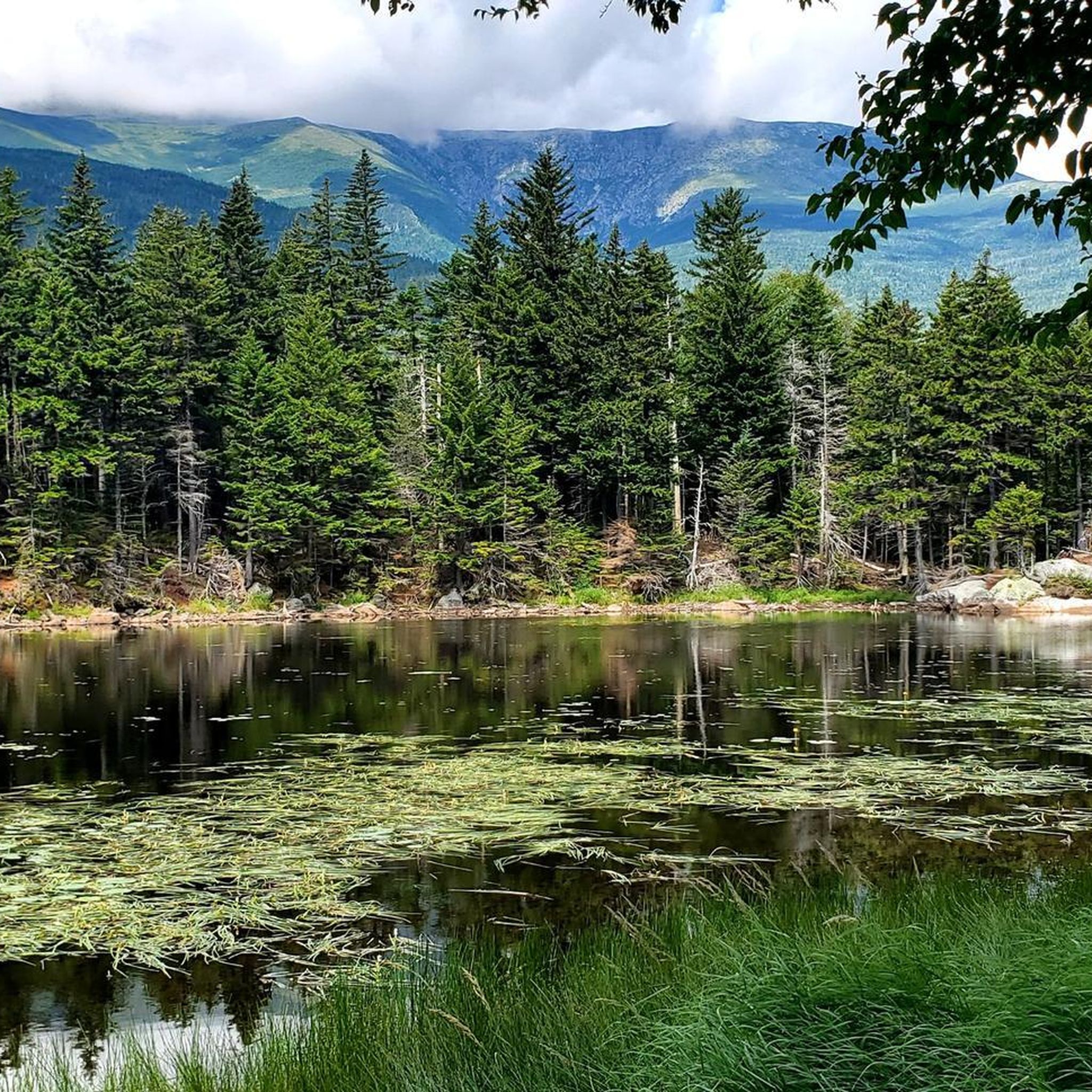
Running Trails in Presidential Range-Dry River Wilderness
Road Cycling Routes in Presidential Range-Dry River Wilderness
Cycling in Presidential Range-Dry River Wilderness
MTB Trails in Presidential Range-Dry River Wilderness
Other adventures in Presidential Range-Dry River Wilderness

Tips from the Community

Mount Pierce stands at 4,310 feet and is toward the southern end of the Presidential Range. From its summit, you get sweeping views north toward Mount Eisenhower and Mount Washington from a mix of alpine scrub and rocky ledges. Named after Franklin Pierce, the only U.S. president from New Hampshire, it’s a must stop if tagging all the peaks along on the Presidential Traverse, or those looking for a challenging day hike.
1
0

At an elevation of 4,052 feet, Mount Jackson is the 38th tallest mountain in the state. It sits along a major ridge in the Presidential Range and is a rewarding run.
0
0
Mount Isolation (4,003 feet) is one of the multiple summits over 4,000 feet in the Presidential Range of the White Mountains. A lot of the trails passing through the range can be connected to this summit, which has great 360 degree panoramic views.
0
0
Stairs Mountain is the most northern summit is the small cluster of 3 summits (the others being Crawford and Resolution). The peak rises up to 3,468 feet and offers a rocky bald as a lookout area. This marks the southern point on a long ridge leading to Mount Isolation.
0
0
Mount Crawford stretches up to 3,119 feet and is just west of the famous Presidential Ridge. The summit has a rocky outcrop that offers great views toward the spine of the famous ridge and up the river valley running through Notchland.
0
0
Stairs Mountain is the most northern summit is the small cluster of 3 summits (the others being Crawford and Resolution). The peak rises up to 3,468 feet and offers a rocky bald as a lookout area. This marks the southern point on a long ridge leading to Mount Isolation.
0
0
Mount Crawford stretches up to 3,119 feet and is just west of the famous Presidential Ridge. The summit has a rocky outcrop that offers great views toward the spine of the famous ridge and up the river valley running through Notchland.
0
0

walking on the "Presidential Range", expect to find the names of the presidents of the United States. This peak, which was once called Clinton, was renamed Mount Pierce. To reach it the steep Crawford trail awaits you.
1
0
Frequently Asked Questions
What are some of the most rewarding mountain peaks to hike in the Presidential Range-Dry River Wilderness?
The Presidential Range-Dry River Wilderness offers several rewarding peaks. Mount Jackson Summit is popular for its panoramic views and excellent hiking in both winter and summer. For a more remote experience, Mount Isolation provides a profound sense of solitude and exceptional 360-degree vistas. Stairs Mountain and Mount Resolution also offer stunning views and a true wilderness feel.
What kind of views can I expect from the mountain peaks in this wilderness area?
You can expect breathtaking panoramic views from many peaks. For instance, Mount Isolation is renowned for its 360-degree vistas, including unparalleled views of Mount Washington and the southern Presidentials. Mount Jackson Summit also offers expansive alpine views. From Mount Crawford Summit View, you can see toward the Presidential Ridge and the river valley, while Stairs Mountain provides far-reaching views of the southeastern White Mountains.
Are there any less crowded mountain peaks for a more solitary experience?
Yes, if you're seeking solitude, Mount Isolation is an excellent choice. As its name suggests, it's known for its remote character and offers a peaceful escape from more heavily trafficked areas. Mount Resolution also provides a feeling of seclusion, being part of an area that sees less traffic than the more popular Presidential peaks.
How challenging are the mountain peaks in the Presidential Range-Dry River Wilderness?
The peaks in this wilderness area are generally considered challenging. The terrain often features steep slopes, high ridgelines, and can include wet and muddy sections with numerous stream crossings. Hikes like Mount Isolation can be lengthy, typically 12-14 miles round-trip with over 3,600 feet of elevation gain, making them suitable for experienced hikers.
What makes Mount Isolation a unique destination?
Mount Isolation stands out for its remote character and the profound sense of solitude it offers, which is rare in the White Mountains. It provides truly exceptional 360-degree panoramic views, including unparalleled vistas of Mount Washington. The challenging, lengthy hike through varied terrain, including portions above treeline with krummholz, makes it a rewarding immersive wilderness experience.
What wildlife might I encounter while hiking in the Presidential Range-Dry River Wilderness?
The Presidential Range-Dry River Wilderness is home to diverse wildlife. Hikers have reported sightings of moose and black bears, particularly on the remote trails leading to peaks like Mount Isolation. You may also encounter deer and various bird species within the spruce-fir and northern hardwood forests.
What is the best time to visit the mountain peaks in this region?
The region offers excellent hiking opportunities in both summer and winter, though conditions vary significantly. Summer provides generally more accessible trails, while winter hiking, especially on peaks like Mount Jackson Summit, requires proper gear like snowshoes or micro-spikes due to snow and ice. Be aware that challenging weather conditions, including high winds and whiteout conditions, are common on higher summits year-round.
Are there opportunities for multi-peak or loop hikes in the area?
Yes, the Presidential Range-Dry River Wilderness is ideal for multi-peak and loop hikes. For example, Stairs Mountain and Mount Resolution can be hiked as part of a challenging loop with Mount Crawford. Mount Davis is frequently included in multi-peak backpacking trips that also encompass Mount Isolation, Stairs Mountain, and Mount Resolution, offering a comprehensive tour of this wilder section.
What outdoor activities can I do near these mountain peaks?
Beyond peak bagging, the area around the Presidential Range-Dry River Wilderness offers a variety of outdoor activities. You can find numerous running trails, such as the challenging Arethusa Falls and Frankenstein Cliff Loop, or the longer Mount Carrigain loop. For cyclists, there are options like the Kancamagus Highway loop or the Base Station Road & Mount Clinton Road loop. Explore more options on the Running Trails and Cycling guide pages.
What are the unique geological features of Stairs Mountain?
Stairs Mountain Summit View is named for its distinctive, rocky 'giant steps' or a magnificent cliff that, from a distance, resembles a staircase. This unique geological formation makes it visually interesting and adds to the character of the hike.
What should I know about the terrain above treeline on some of these peaks?
On higher peaks like Mount Davis and portions of Mount Isolation, you will encounter terrain above treeline. This often features krummholz, which are twisted, stunted trees adapted to the harsh alpine environment. These exposed areas can be particularly susceptible to challenging weather conditions, including high winds and sudden changes.
Most popular routes in Presidential Range-Dry River Wilderness
Most popular attractions in Presidential Range-Dry River Wilderness

Get inspired with the komoot mobile app


Explore more
See even more amazing summits in Presidential Range-Dry River Wilderness with these guides:
